Barn Meadow Plantation
Wood, Forest in Cornwall
England
Barn Meadow Plantation
Barn Meadow Plantation is a picturesque woodland located in Cornwall, England. Situated in the heart of the county, this stunning forest boasts an impressive array of flora and fauna, making it a haven for nature enthusiasts and outdoor lovers.
Spanning over a vast area, Barn Meadow Plantation is characterized by its dense woodland of predominantly deciduous trees, creating a captivating and ever-changing landscape throughout the seasons. The forest is home to a diverse range of tree species including oak, beech, birch, and ash. These trees provide a natural habitat for a variety of wildlife, such as deer, foxes, badgers, and a multitude of bird species.
Visitors to Barn Meadow Plantation can explore its extensive network of walking trails, which wind their way through the forest, offering breathtaking views and a chance to immerse oneself in the tranquility of nature. The trails are suitable for all levels of fitness and provide opportunities for leisurely strolls, hiking, or even birdwatching.
In addition to its natural beauty, Barn Meadow Plantation also offers various amenities for visitors. There are picnic areas dotted throughout the woodland, providing a perfect spot to relax and enjoy a meal amidst the peaceful surroundings. The plantation also offers guided nature walks and educational programs, allowing visitors to learn more about the diverse ecosystem and conservation efforts in the area.
Barn Meadow Plantation is a true gem in Cornwall, offering a serene escape from the hustle and bustle of everyday life. Whether you are a nature lover, an avid hiker, or simply seeking a place to unwind and reconnect with nature, this enchanting forest is sure to leave a lasting impression.
If you have any feedback on the listing, please let us know in the comments section below.
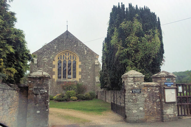
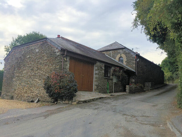
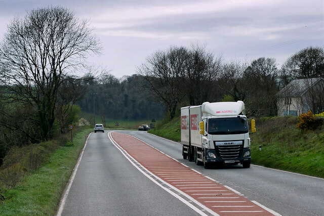
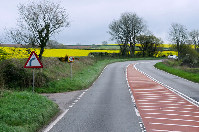
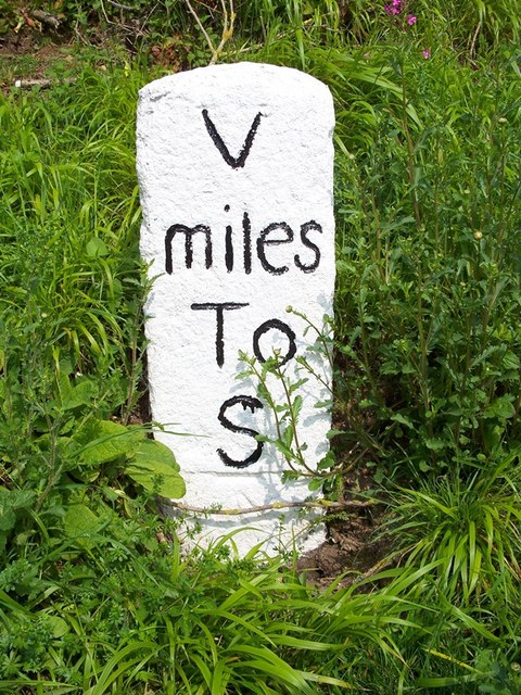
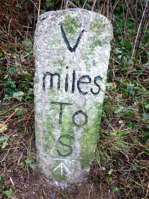
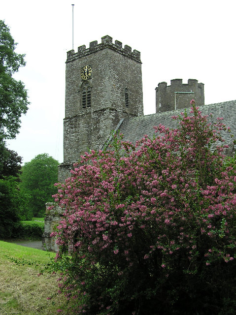
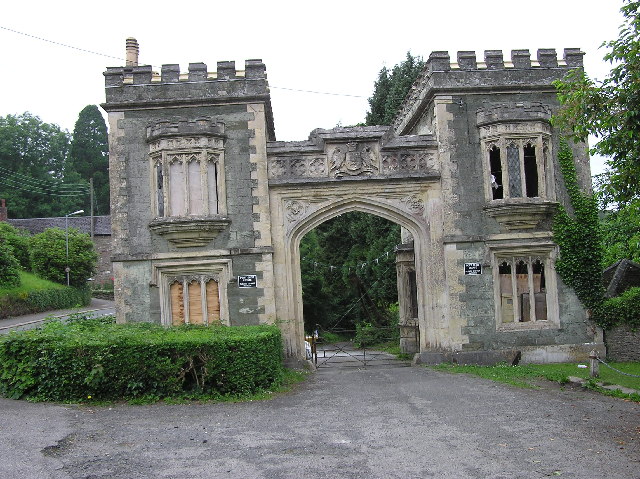
Barn Meadow Plantation Images
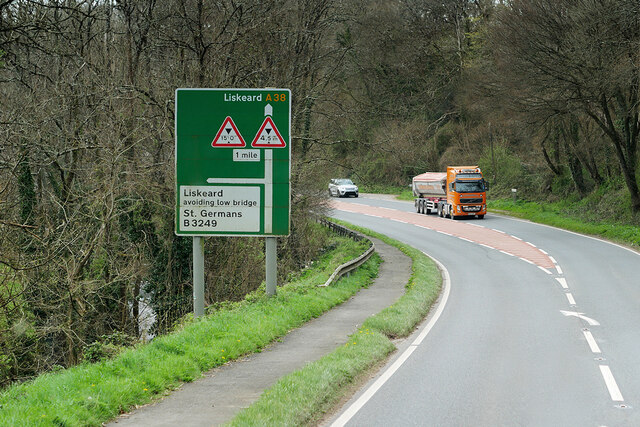
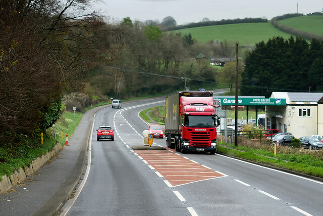
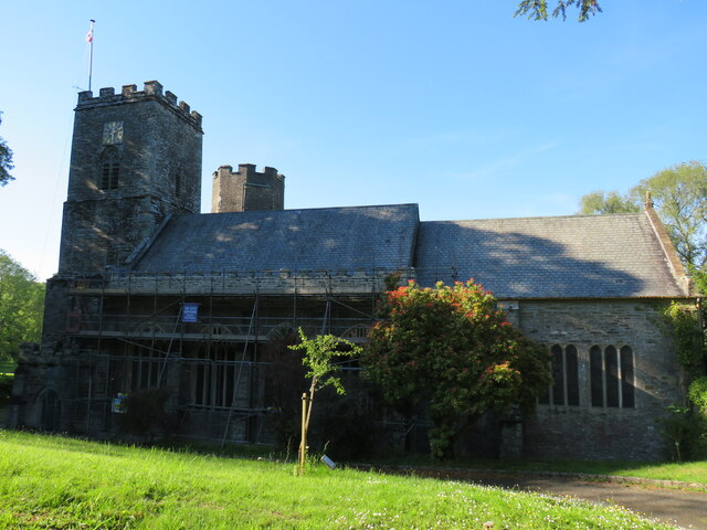
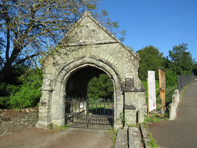
Images are sourced within 2km of 50.400798/-4.3149695 or Grid Reference SX3558. Thanks to Geograph Open Source API. All images are credited.


Barn Meadow Plantation is located at Grid Ref: SX3558 (Lat: 50.400798, Lng: -4.3149695)
Unitary Authority: Cornwall
Police Authority: Devon and Cornwall
What 3 Words
///grounding.even.differ. Near Landrake, Cornwall
Related Wikis
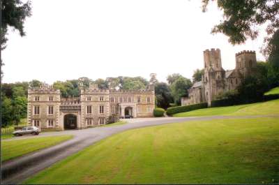
Port Eliot
Port Eliot in the parish of St Germans, Cornwall, England, United Kingdom, is the ancestral seat of the Eliot family, whose present head is Albert Eliot...
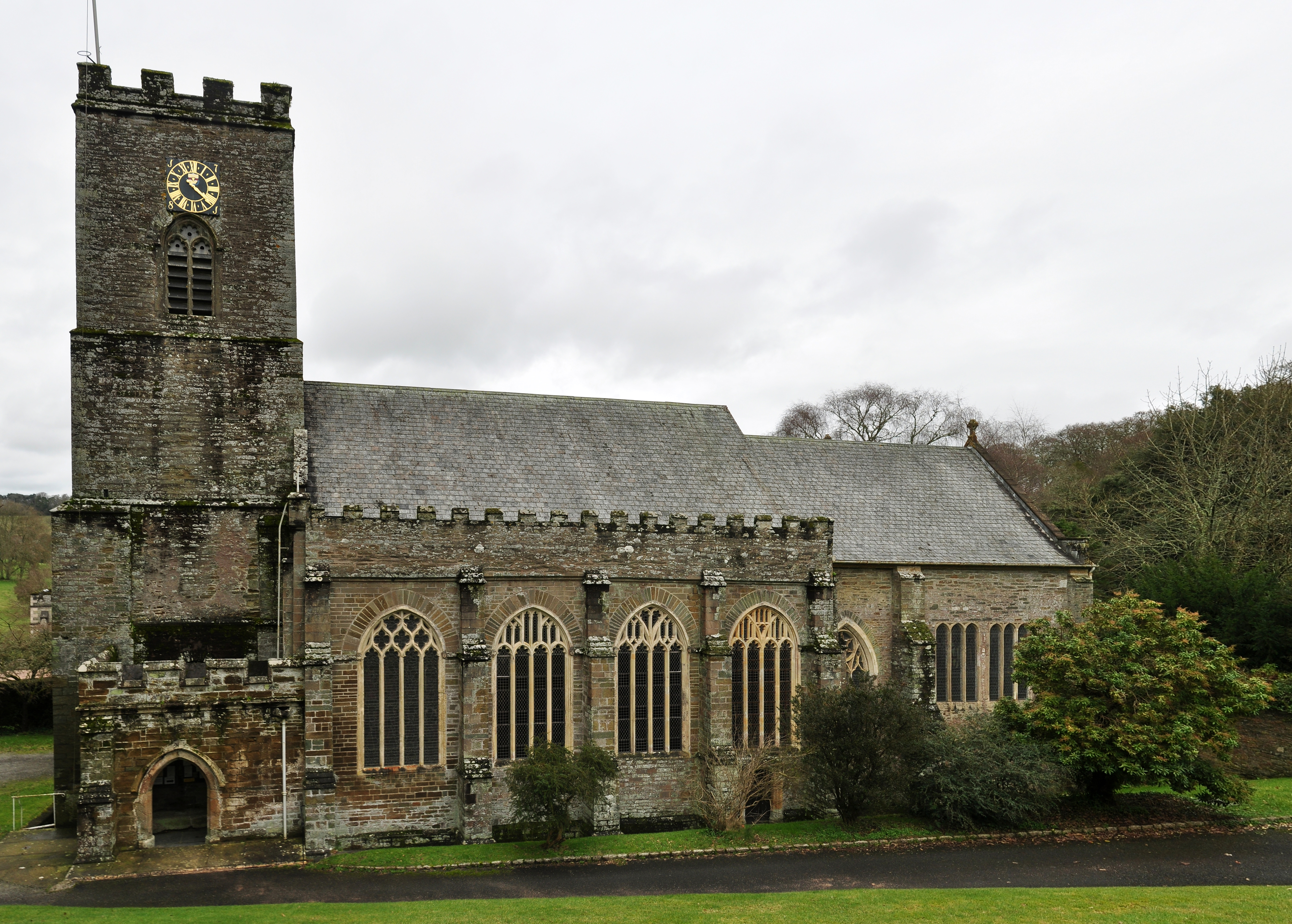
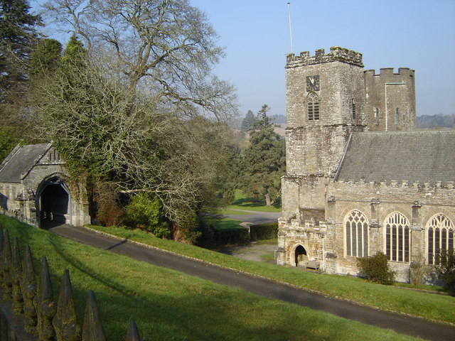
St German's Priory
St Germans Priory is a large Norman church in the village of St Germans in south-east Cornwall, England, UK. == History == According to a credible tradition...
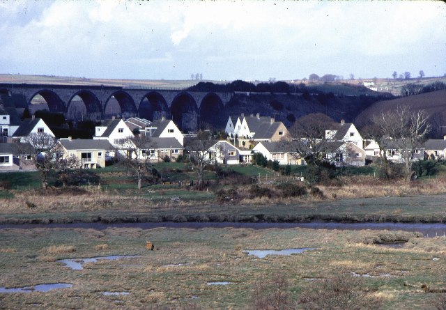
St Germans, Cornwall
St Germans (Cornish: Lannaled) is a village and civil parish in east Cornwall, England, United Kingdom. It stands on the River Tiddy, just upstream of...

St Germans railway station
St Germans railway station (Cornish: Lannaled) serves the village of St Germans in Cornwall, England. The station is managed by Great Western Railway and...
Nearby Amenities
Located within 500m of 50.400798,-4.3149695Have you been to Barn Meadow Plantation?
Leave your review of Barn Meadow Plantation below (or comments, questions and feedback).