Walland Wood

Wood, Forest in Devon Torridge

England

Walland Wood

St Ann's church, Bucks Mills, Devon This church was built in 1861 by the Elwes family, who were the former landowners, for the estate workers. It nestles peacefully in this wooded valley, and is constructed from local stone. The remains of
 the quarry is now its car park.
St Ann's church, Bucks Mills, Devon Credit: Derek Voller

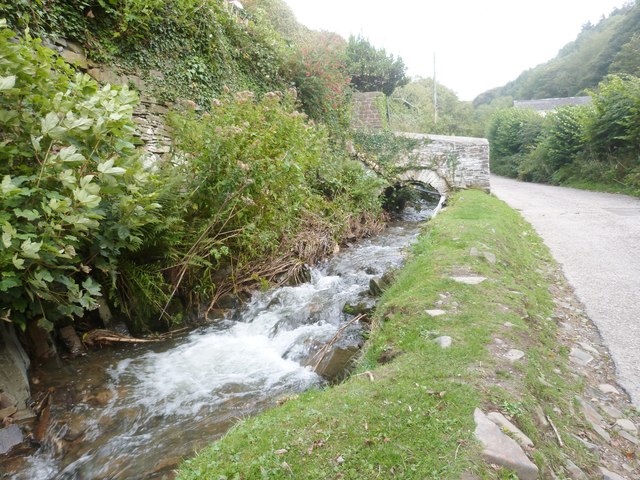
Walland Wood is a picturesque forest located in the county of Devon, England. Nestled within the rolling hills of the region, this woodland area covers a vast expanse of approximately 500 acres. It is a popular destination for nature enthusiasts, hikers, and wildlife observers.

The forest is predominantly composed of native British trees, including oak, beech, and birch, which form a dense canopy that filters sunlight and creates a cool, shaded environment. The lush undergrowth is abundant with ferns, mosses, and wildflowers, adding to the natural beauty of the woodland.

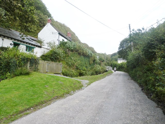
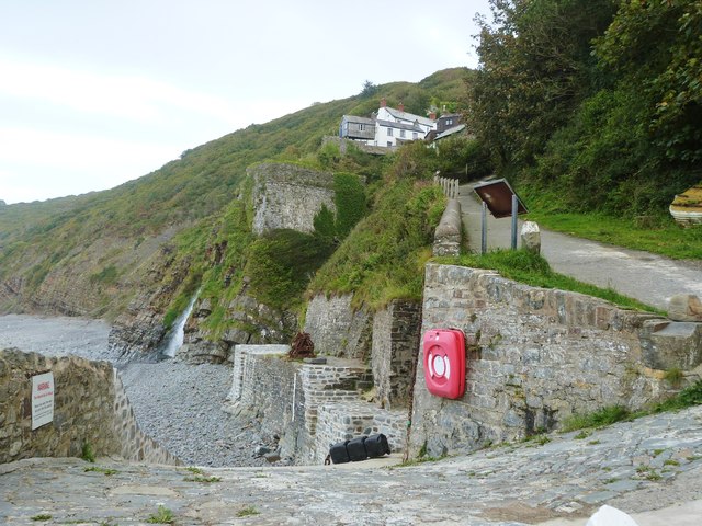
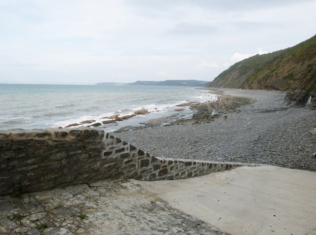
Walland Wood boasts a network of well-maintained trails that crisscross through its entirety, offering visitors the opportunity to explore its diverse landscapes. These paths lead to scenic viewpoints, babbling brooks, and hidden clearings, providing a sense of tranquility and escape from the hustle and bustle of everyday life.

The forest is home to a wide variety of wildlife, with sightings of deer, foxes, badgers, and numerous bird species being common. Nature enthusiasts often visit Walland Wood to observe and appreciate the rich biodiversity it supports.

Due to its accessibility and beauty, Walland Wood attracts visitors all year round. In the spring, the forest bursts into life, with vibrant wildflowers and migratory birds making their presence known. In the autumn, the woodland transforms into a kaleidoscope of colors as the leaves of the deciduous trees change hues.

Overall, Walland Wood in Devon offers a serene escape into nature, showcasing the stunning beauty of the British countryside and serving as a haven for both wildlife and humans alike.

If you have any feedback on the listing, please let us know in the comments section below.
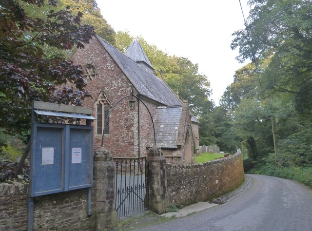
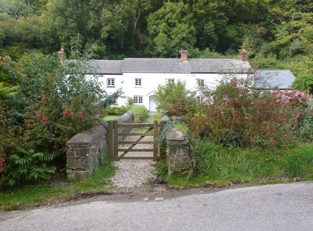
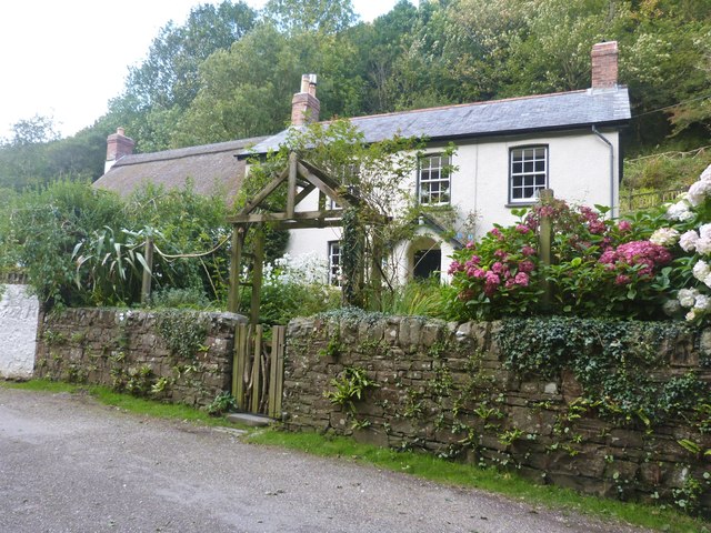
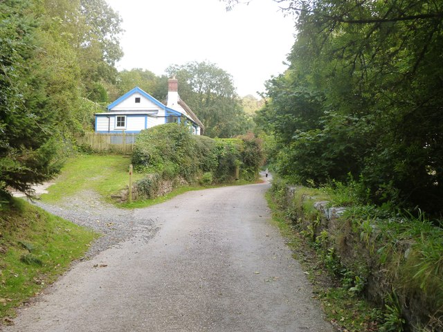
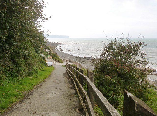
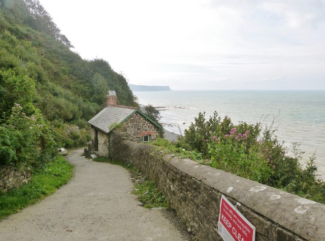
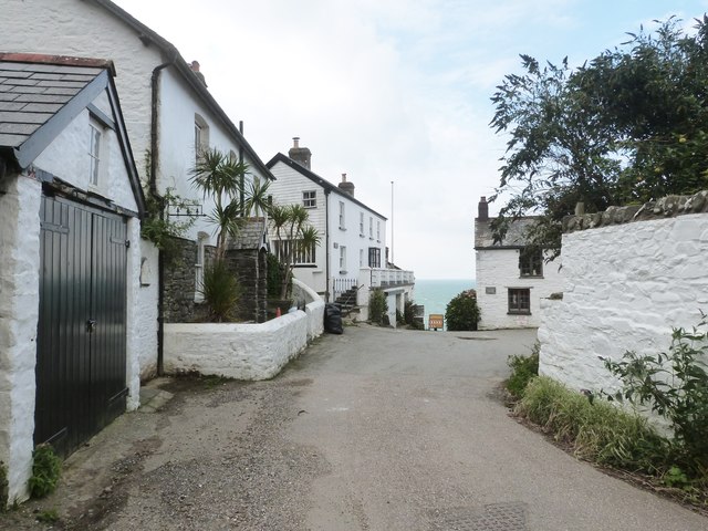
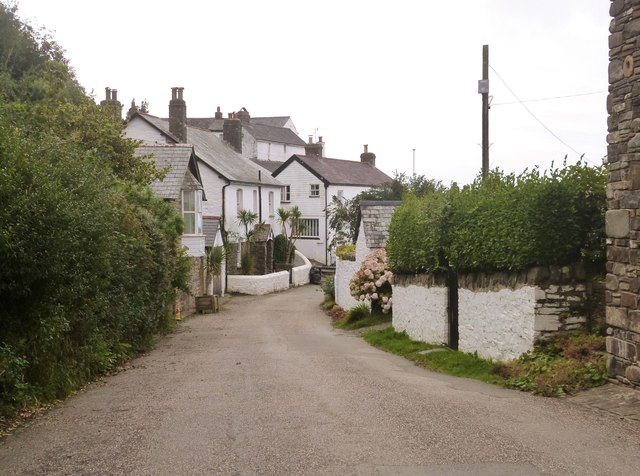
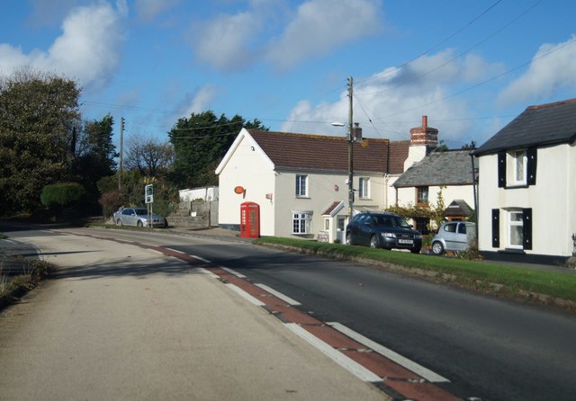
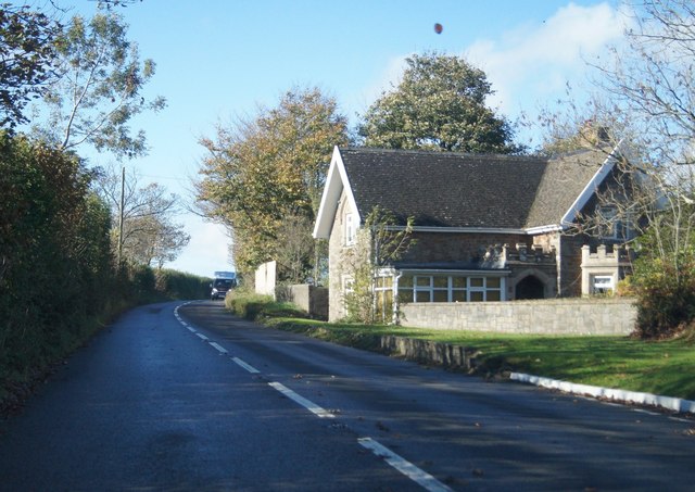
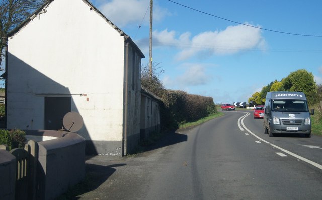
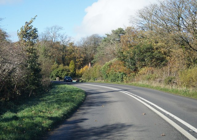
Walland Wood Images

Images are sourced within 2km of 50.98333/-4.3457186 or Grid Reference SS3523. Thanks to Geograph Open Source API. All images are credited.

St Ann's church, Bucks Mills, Devon This church was built in 1861 by the Elwes family, who were the former landowners, for the estate workers. It nestles peacefully in this wooded valley, and is constructed from local stone. The remains of
 the quarry is now its car park.
St Ann's church, Bucks Mills, Devon
This church was built in 1861 by the Elwes family, who were the former landowners, for the estate workers. It nestles peacefully in this wooded valley, and is constructed from local stone. The remains of the quarry is now its car park.
Cottages at Bucks Mills, Devon
The lane through Bucks Mills, Devon
The fast running stream that passes through the village of Bucks Mills, Devon
The lane through Bucks Mills, Devon
The slipway and harbour at Bucks Mills, Devon The square building is all that remains of the old 19th century lime kiln. This picture also shows the steep path up to the village.
The slipway and harbour at Bucks Mills, Devon
The square building is all that remains of the old 19th century lime kiln. This picture also shows the steep path up to the village.
The slipway  at Bucks Mills, Devon
The slipway at Bucks Mills, Devon
Bottom of the steep path onto the beach and slipway at Bucks Mills, Devon Jutting out into the sea can be seen the "Gore", a pebble bank which legend has it that the Devil was building a causeway to Lundy Island, but gave up when the handle of his shovel broke.
Bottom of the steep path onto the beach and slipway at Bucks Mills, Devon
Jutting out into the sea can be seen the "Gore", a pebble bank which legend has it that the Devil was building a causeway to Lundy Island, but gave up when the handle of his shovel broke.
The steep path down to the sea at Bucks Mills, Devon
The village of Bucks Mills, Devon Ahead is the beginning of the steep path, complete with warning notice, that descends to the beach below
The village of Bucks Mills, Devon
Ahead is the beginning of the steep path, complete with warning notice, that descends to the beach below
The village of Bucks Mills, Devon Most of the dwellings in the village were built between 1812 and 1835 and were of mostly a few rooms. There was a water mill that pre-dated this but had no proper village around it. It was powered by the fast flowing stream that runs down the steep valley to the sea, finally ending up as a waterfall cascading on to the beach. Here was a small harbour constructed to unload the boats full of corn from farms up the coast and over on Lundy Island. The Napoleonic Wars created a need for more land for cultivation, which also created a need for lime as fertiliser for the poor soil, and so two beach-side kilns were built. This increased the population in a village that couldn't expand due to its narrow geographical location. Overcrowding was intense. Many parents reared six or so children in just a couple of rooms.  It was a very tight, insular  community that gained a reputation of hostility towards incomers. Close intermarriage during the 19th century caused Bucks Mills to be known as "The village with one surname".
The village of Bucks Mills, Devon
Most of the dwellings in the village were built between 1812 and 1835 and were of mostly a few rooms. There was a water mill that pre-dated this but had no proper village around it. It was powered by the fast flowing stream that runs down the steep valley to the sea, finally ending up as a waterfall cascading on to the beach. Here was a small harbour constructed to unload the boats full of corn from farms up the coast and over on Lundy Island. The Napoleonic Wars created a need for more land for cultivation, which also created a need for lime as fertiliser for the poor soil, and so two beach-side kilns were built. This increased the population in a village that couldn't expand due to its narrow geographical location. Overcrowding was intense. Many parents reared six or so children in just a couple of rooms. It was a very tight, insular community that gained a reputation of hostility towards incomers. Close intermarriage during the 19th century caused Bucks Mills to be known as "The village with one surname".
A39 in Bucks Cross
A39 in Bucks Cross
Very close to the A39 House by Bideford Caravan park.
Very close to the A39
House by Bideford Caravan park.
A39 at West Bucks
A39 at West Bucks
A39 near Hobby Lodge
Ordnance Survey Flush Bracket S5422 This can be found on the wall of an old school - now a private dwelling - beside the A39 road.
For more detail see : <span class="nowrap"><a title="http://www.bench-marks.org.uk/bm20838" rel="nofollow ugc noopener" href="http://www.bench-marks.org.uk/bm20838">Link</a><img style="margin-left:2px;" alt="External link" title="External link - shift click to open in new window" src="https://s1.geograph.org.uk/img/external.png" width="10" height="10"/></span>
Ordnance Survey Flush Bracket S5422
This can be found on the wall of an old school - now a private dwelling - beside the A39 road. For more detail see : LinkExternal link
Numbers 6, 5 & 4, Bucks Mills A row of terraced cottages on the road into the tiny North Devon hamlet of Bucks Mills, all of which were Grade II listed <span class="nowrap"><a title="https://www.britishlistedbuildings.co.uk/101171530-forest-gardens-parkham#.WsfZ1tQrLGg" rel="nofollow ugc noopener" href="https://www.britishlistedbuildings.co.uk/101171530-forest-gardens-parkham#.WsfZ1tQrLGg">Link</a><img style="margin-left:2px;" alt="External link" title="External link - shift click to open in new window" src="https://s1.geograph.org.uk/img/external.png" width="10" height="10"/></span> in 1958 as 'Forest Gardens'
Numbers 6, 5 & 4, Bucks Mills
A row of terraced cottages on the road into the tiny North Devon hamlet of Bucks Mills, all of which were Grade II listed LinkExternal link in 1958 as 'Forest Gardens'
Show me another place!

Walland Wood is located at Grid Ref: SS3523 (Lat: 50.98333, Lng: -4.3457186)

Administrative County: Devon

District: Torridge

Police Authority: Devon and Cornwall

What 3 Words

///habit.crunched.veto. Near Bideford, Devon

Related Wikis

Bucks Mills

Bucks Mills is a small English village within the parish of Woolfardisworthy on the north coast of Devon. It was anciently the mill of the manor of Bucks...

The Milky Way (amusement park)

The Milky Way Adventure Park (Downland Farm) is an amusement park in North Devon. It was named as Devon's Large Attraction of the Year by Visit Devon in...

Lynbarn Railway

The 1 ft 11+1⁄2 in (597 mm) narrow gauge Lynbarn Railway opened in 1995 as a park ride at the Milky Way Adventure Park, a family-based theme park attraction...

Peppercombe

Peppercombe is a small valley (combe) on the north-western coast of Devon, England. It is situated on the South West Coast Path between Westward Ho! to...

Nearby Amenities

Located within 500m of 50.98333,-4.3457186
Steart Farm
Building: farm
Wikidata: Q26399088
Lat/Long: 50.98195/-4.3430845
Direction: 170
Generator Method: photovoltaic
Generator Output Electricity: yes
Generator Solar Modules: 17
Generator Source: solar
Generator Type: solar_photovoltaic_panel
Location: roof
Power: generator
Lat/Long: 50.9796852/-4.3422939
Power: pole
Source: bing
Lat/Long: 50.9796519/-4.3455783
Power: pole
Source: bing
Lat/Long: 50.9797785/-4.3469864
Power: pole
Source: bing
Switch: mechanical
Lat/Long: 50.9800285/-4.3499315
Power: pole
Source: bing
Lat/Long: 50.9799086/-4.3484831
Power: pole
Source: bing
Lat/Long: 50.9794805/-4.3435545
Power: pole
Source: bing
Lat/Long: 50.9794222/-4.3427593
Power: pole
Source: bing
Lat/Long: 50.9791723/-4.3478394
Bucks Cross
Traffic Sign: city_limit
Lat/Long: 50.9808956/-4.3514979
Give Way
Lat/Long: 50.9808048/-4.3508944
Post Box
Collection Times: Mo-Fr 09:00, Sa 07:00
Operator: Royal Mail
Operator Wikidata: Q638098
Post Box Mounting: stone_wall
Post Box Type: wall
Ref: EX39 18D
Royal Cypher: VR
Survey Date: 2024-04-20
Lat/Long: 50.9864463/-4.3424555
Bench
Backrest: yes
Survey Date: 2024-04-20
Lat/Long: 50.9838312/-4.344621
The data included in this document is from www.openstreetmap.org. The data is made available under ODbL.

Have you been to Walland Wood?

Leave your review of Walland Wood below (or comments, questions and feedback).