Aitken Bog Plantation
Wood, Forest in West Lothian
Scotland
Aitken Bog Plantation
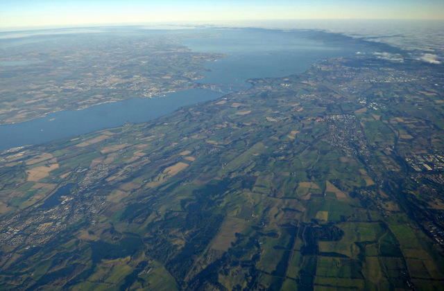
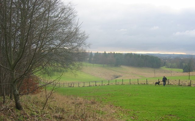
Aitken Bog Plantation is a sprawling woodland located in West Lothian, Scotland. As part of the wider Boghead Landscape, it is an important ecological site that comprises a mixture of wetland and woodland habitats. The plantation covers an area of approximately 200 hectares, making it one of the larger woodlands in the region.
The dominant tree species found in Aitken Bog Plantation are Scots pine and Sitka spruce, which were planted in the mid-20th century for commercial purposes. However, in recent years, there have been efforts to diversify the woodland by introducing native broadleaf species such as oak, birch, and rowan. This has enhanced the biodiversity of the area, attracting a range of bird species, including buzzards, owls, and woodpeckers.
The wetland areas within the plantation are especially significant. Aitken Bog, a raised bog located in the northern part of the site, supports a variety of rare plant species, such as sphagnum mosses and sundews. These wetland habitats also provide important breeding grounds for amphibians, including frogs, toads, and newts.
The woodland is crisscrossed by a network of walking trails, allowing visitors to explore and appreciate the natural beauty of the area. The plantation is managed by the Forestry and Land Scotland, which ensures the conservation of the woodland and promotes sustainable forest management practices.
Overall, Aitken Bog Plantation offers a unique and diverse environment, combining woodlands and wetlands, making it a valuable ecological asset in West Lothian.
If you have any feedback on the listing, please let us know in the comments section below.
Aitken Bog Plantation Images
Images are sourced within 2km of 55.932593/-3.6128415 or Grid Reference NS9972. Thanks to Geograph Open Source API. All images are credited.


Aitken Bog Plantation is located at Grid Ref: NS9972 (Lat: 55.932593, Lng: -3.6128415)
Unitary Authority: West Lothian
Police Authority: The Lothians and Scottish Borders
What 3 Words
///heap.small.bordering. Near Bathgate, West Lothian
Related Wikis

Hilderston, West Lothian
Hilderston or Hilderstone in West Lothian, Scotland, was the site of the discovery of a vein of silver in 1606 and a mining operation that attracted international...

Cairnpapple Hill
Cairnpapple Hill is a hill with a dominating position in central lowland Scotland with views from coast to coast. It was used and re-used as a major ritual...

Cockleroi
Cockleroi or Cockleroy is a prominent hill in Scotland. It is Linlithgow's local hill. On its top there are some remains of an Iron Age's hill fort....

Beecraigs
Beecraigs is a country park in West Lothian, approximately 2 miles (3.2 km) south of the town of Linlithgow and 3 miles (4.8 km) north-east of Bathgate...
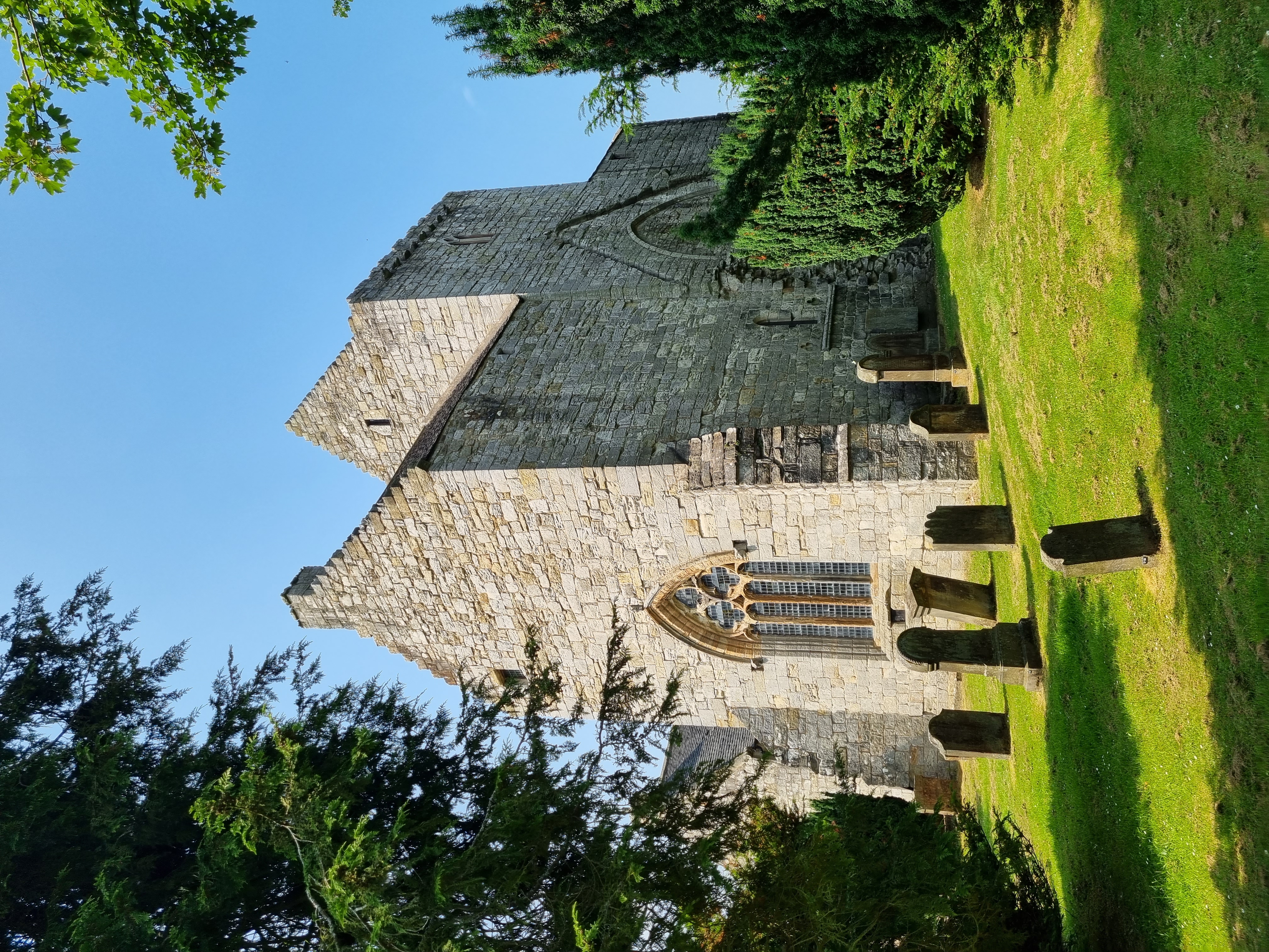
Torphichen Preceptory
Torphichen Preceptory is a church in the village of Torphichen, West Lothian, Scotland. It comprises the remains of the preceptory (headquarters) of the...
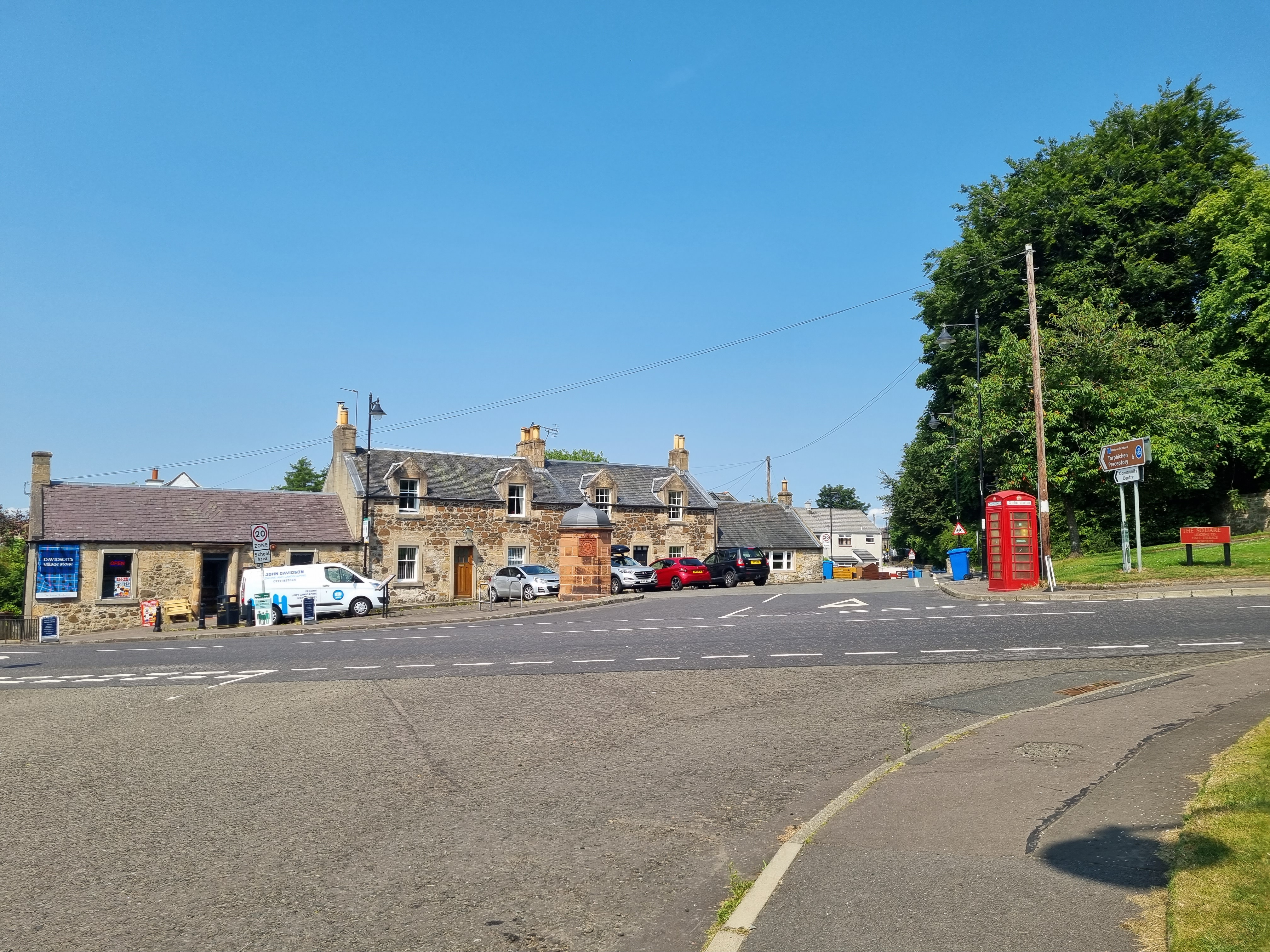
Torphichen
Torphichen ( tor-FIKH-ən) is a historic small village located north of Bathgate in West Lothian, Scotland. The village is approximately 18 miles (29 km...
Ballencrieff, West Lothian
Ballencrieff is a settlement in West Lothian, Scotland, situated equidistant between the towns of Bathgate and Torphichen and seven miles south of Linlithgow...

East Kirkton Quarry
East Kirkton Quarry, or simply East Kirkton, is a former limestone quarry in West Lothian, Scotland, now a renowned fossil site. The quarry is known for...
Nearby Amenities
Located within 500m of 55.932593,-3.6128415Have you been to Aitken Bog Plantation?
Leave your review of Aitken Bog Plantation below (or comments, questions and feedback).