Church Hill Common

Wood, Forest in Monmouthshire

Wales

Church Hill Common

View From Highbury Woods To Lower Redbrook
View From Highbury Woods Credit: Deborah Tilley

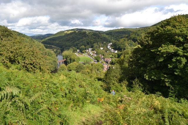
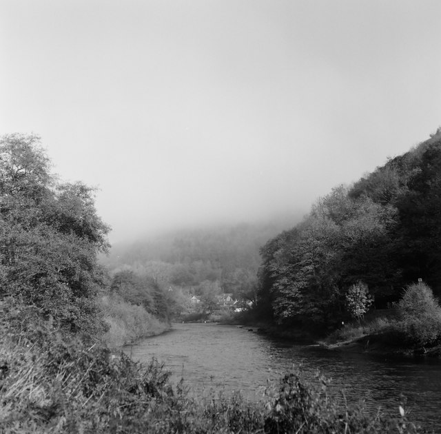
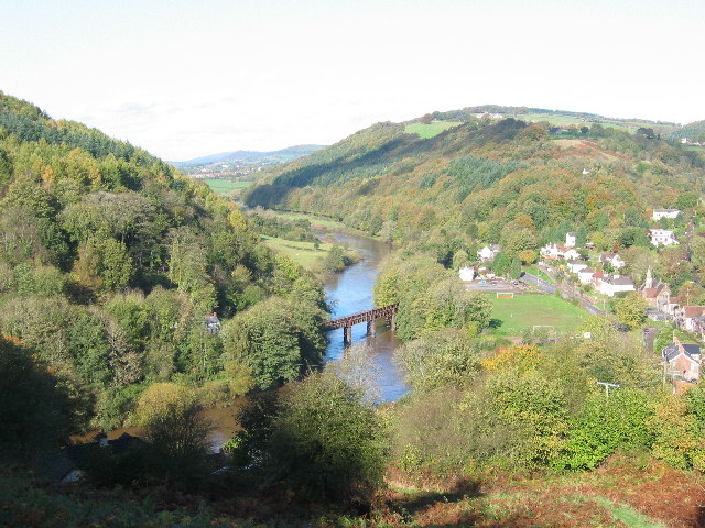
Church Hill Common is a woodland area located in Monmouthshire, Wales. This picturesque forest is a popular destination for nature enthusiasts, hikers, and bird watchers due to its diverse flora and fauna, tranquil atmosphere, and stunning panoramic views.

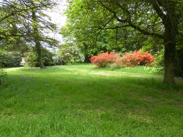
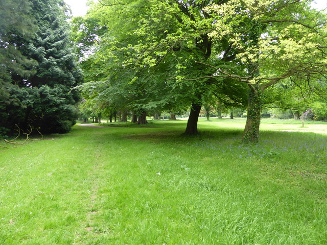
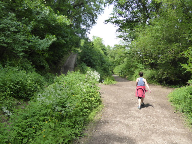
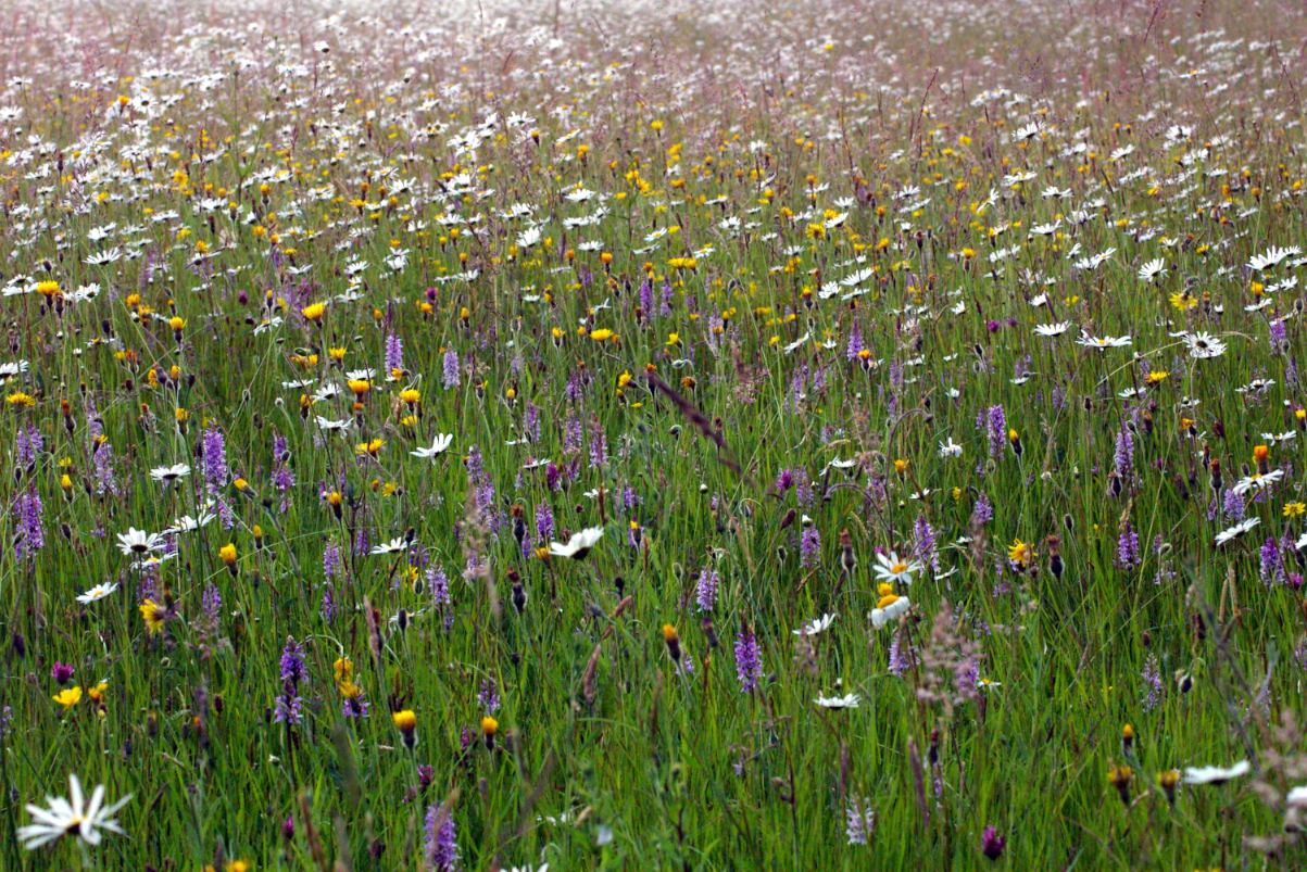
Covering an area of approximately 200 acres, Church Hill Common is characterized by its dense woodlands, with a mixture of broadleaf and coniferous trees. The forest is home to a variety of tree species, including oak, beech, ash, and pine, creating a rich and vibrant ecosystem. The forest floor is adorned with a carpet of wildflowers, adding to the area's natural beauty.

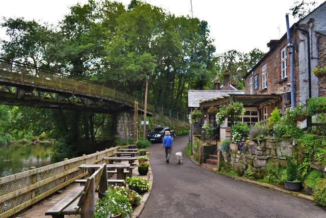
The common is crisscrossed by a network of well-maintained footpaths and trails, allowing visitors to explore the forest at their own pace. One of the most popular routes is the Church Hill Circular Walk, a 3-mile loop that takes hikers through the heart of the common and offers breathtaking views of the surrounding countryside.

Wildlife enthusiasts will be delighted by the abundance of animal species that call Church Hill Common home. Red kites, buzzards, and woodpeckers can often be seen soaring above the treetops, while rabbits, badgers, and foxes make their homes in the undergrowth.

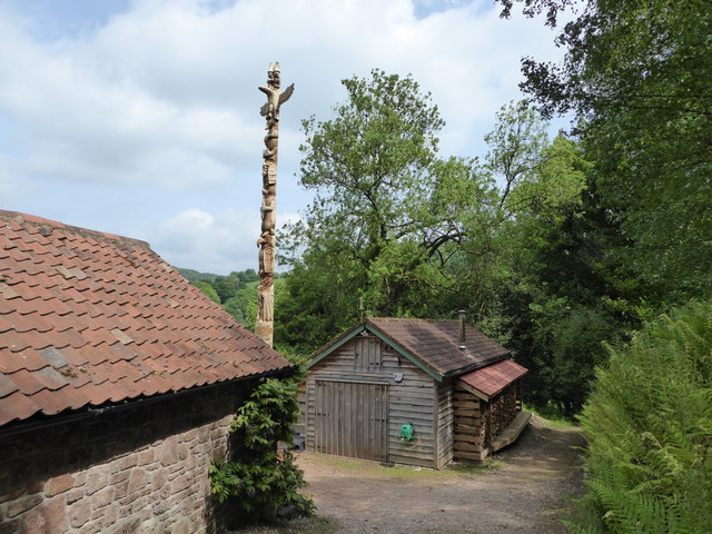
Church Hill Common is not only a haven for wildlife but also an important historical site. It is home to the remains of an Iron Age hillfort, dating back over 2,000 years, which provides a glimpse into the region's ancient past.

Overall, Church Hill Common in Monmouthshire offers a perfect blend of natural beauty, recreational opportunities, and historical significance, making it a must-visit destination for those seeking a peaceful escape in the heart of nature.

If you have any feedback on the listing, please let us know in the comments section below.

Church Hill Common Images

Images are sourced within 2km of 51.789797/-2.6958748 or Grid Reference SO5210. Thanks to Geograph Open Source API. All images are credited.

View From Highbury Woods To Lower Redbrook
View From Highbury Woods
To Lower Redbrook
Bridge Over The River Wye Connecting Lower Redbrook to the lovely Boat Inn!
Bridge Over The River Wye
Connecting Lower Redbrook to the lovely Boat Inn!
Boat Inn Near Redbrook A lovely looking place. Sadly we were there before opening time
Boat Inn Near Redbrook
A lovely looking place. Sadly we were there before opening time
A Line Of Land Rovers In Redbrook A fine display of all ages
A Line Of Land Rovers In Redbrook
A fine display of all ages
Redbrook, Wye Valley A view of Redbrook on a misty morning, taken with a medium format Mamiya twin lens camera.
Redbrook, Wye Valley
A view of Redbrook on a misty morning, taken with a medium format Mamiya twin lens camera.
In the grounds of The Argoed at Penallt Scarlet Rhododendrons here.
In the grounds of The Argoed at Penallt
Scarlet Rhododendrons here.
On a footpath through the grounds of The Argoed near Penallt Lovely parkland here.
On a footpath through the grounds of The Argoed near Penallt
Lovely parkland here.
Footpath at The Argoed near Penallt Crossing a drive.
Footpath at The Argoed near Penallt
Crossing a drive.
Rear of the Argoed at Penallt A lovely Victorian country house above the Wye Valley, once owned by Robert Plant, lead singer of Led Zeppelin, who recorded some albums at nearby Rockfield Studios in the 1980's. 

It has since been owned by a branch of my family (a great grandfather in common) who prospered in a chain of sports shops and other business interests I believe.

This house has its own Wikipedia article, impressive.<span class="nowrap"><a title="https://en.wikipedia.org/wiki/The_Argoed,_Penallt" rel="nofollow ugc noopener" href="https://en.wikipedia.org/wiki/The_Argoed,_Penallt">Link</a><img style="margin-left:2px;" alt="External link" title="External link - shift click to open in new window" src="https://s1.geograph.org.uk/img/external.png" width="10" height="10"/></span>
Rear of the Argoed at Penallt
A lovely Victorian country house above the Wye Valley, once owned by Robert Plant, lead singer of Led Zeppelin, who recorded some albums at nearby Rockfield Studios in the 1980's. It has since been owned by a branch of my family (a great grandfather in common) who prospered in a chain of sports shops and other business interests I believe. This house has its own Wikipedia article, impressive.LinkExternal link
On the Wye Valley Walk below Lone Lane, Penallt Great walking.
On the Wye Valley Walk below Lone Lane, Penallt
Great walking.
Totem Pole above the Wye Valley Wow, a seven tier totem pole no less.
Totem Pole above the Wye Valley
Wow, a seven tier totem pole no less.
Property above the River Wye Here is one I took earlier, in 2012 <a title="https://www.geograph.org.uk/photo/3048988" href="https://www.geograph.org.uk/photo/3048988">Link</a>
Property above the River Wye
Here is one I took earlier, in 2012 Link
Pasture off Lone Lane below Penallt Nice tree, shady for stock on a summer day. Here it is in use <a title="https://www.geograph.org.uk/photo/3048964" href="https://www.geograph.org.uk/photo/3048964">Link</a>
Pasture off Lone Lane below Penallt
Nice tree, shady for stock on a summer day. Here it is in use Link
The Inn at Penallt Nice spot to rest and recuperate after a walk.
The Inn at Penallt
Nice spot to rest and recuperate after a walk.
The Inn at Penallt Autumn instead of summer and taken three years before <a href="https://www.geograph.org.uk/photo/4977959">SO5209 : The Inn at Penallt</a> but the scene looks identical. A very pleasant Inn for a family meal or to stay at when visiting the Wye Valley.
The Inn at Penallt
Autumn instead of summer and taken three years before SO5209 : The Inn at Penallt but the scene looks identical. A very pleasant Inn for a family meal or to stay at when visiting the Wye Valley.
Boat Inn - 1983
Boat Inn - 1983
Redbrook Bridge - 1983
Tractor at The Argoed This tractor was sitting picturesquely by the footpath, just asking to be photographed in moody black and white! No idea if it's still in use or not, or indeed what sort of tractor it is, but I liked the photo.
Tractor at The Argoed
This tractor was sitting picturesquely by the footpath, just asking to be photographed in moody black and white! No idea if it's still in use or not, or indeed what sort of tractor it is, but I liked the photo.
Show me another place!

Church Hill Common is located at Grid Ref: SO5210 (Lat: 51.789797, Lng: -2.6958748)

Unitary Authority: Monmouthshire

Police Authority: Gwent

What 3 Words

///scarred.easily.splinters. Near Mitchel Troy, Monmouthshire

Related Wikis

Penallt Old Church

Penallt Old Church is located just outside the village of Penallt, Monmouthshire, Wales. It is a Grade I listed building as of 19 November 1953. ��2...

Livox Wood

Livox Wood is a woodland and Site of Special Scientific Interest (SSSI), noted for its biological characteristics, in Monmouthshire, south east Wales....

Pentwyn Farm Grasslands

Pentwyn Farm Grasslands is a nature reserve, and a series of agricultural fields, in Monmouthshire, southeast Wales. It was designated a Site of Special...

Penallt

Penallt (also spelled Penalt) is a village in Monmouthshire, Wales, situated high on a hill 4 kilometres (2+1⁄2 mi) south of Monmouth. In the centre of...

Harper's Grove – Lord's Grove

Harper's Grove – Lord's Grove is a Site of Special Scientific Interest (SSSI), noted for its biological characteristics, in Monmouthshire, south east Wales...

River Trothy

The River Trothy (Welsh: Afon Troddi) is a river which flows through north Monmouthshire, in rural south east Wales. The river rises on Campston Hill,...

Redbrook on Wye railway station

Redbrook on Wye railway station was a station serving the village of Redbrook on the now disused Wye Valley Railway. It was opened on 1 November 1876 with...

Redbrook

Redbrook is a village in Gloucestershire, England, adjoining the border with Monmouthshire, Wales. It is located on the River Wye and is within the Wye...

Nearby Amenities

Located within 500m of 51.789797,-2.6958748
Barrier: stile
Source: survey;gps
Lat/Long: 51.787306/-2.6935369
Barrier: stile
Source: survey;gps
Lat/Long: 51.7862801/-2.6991067
Direction: 165
Generator Method: photovoltaic
Generator Output Electricity: yes
Generator Solar Modules: 15
Generator Source: solar
Generator Type: solar_photovoltaic_panel
Location: roof
Power: generator
Lat/Long: 51.7922054/-2.6958239
Telephone
Booth: K6
Covered: booth
Listed Status: Grade II
Operator: BT
Phone: +44 1600 713619
Lat/Long: 51.7925226/-2.6937113
The data included in this document is from www.openstreetmap.org. The data is made available under ODbL.

Have you been to Church Hill Common?

Leave your review of Church Hill Common below (or comments, questions and feedback).