Conwy town walls
Heritage Site in Caernarfonshire
Wales
Conwy town walls

Conwy town walls, located in Caernarfonshire, Wales, are a remarkable example of medieval fortifications. Built between 1283 and 1287 by King Edward I as part of his conquest of Wales, these walls encircle the town of Conwy and are considered one of the best-preserved and most complete town walls in Britain.
Stretching for almost three-quarters of a mile, the walls are predominantly made of local stone and are punctuated by 21 towers and three gateways. The four main towers, Aberconwy House Tower, Conwy Castle Tower, Porth Isa Tower, and Plas Mawr Tower, are particularly striking and provide panoramic views of the surrounding landscape.
The walls were initially constructed to serve as a defensive measure against potential Welsh uprisings. However, as tensions eased, they gradually lost their military significance and were repurposed as boundary markers and a means to control trade entering the town. Today, they stand as a testament to the architectural and engineering prowess of the medieval period.
Visitors can explore the walls by walking along their entire length, enjoying the picturesque views they offer of Conwy and its surroundings. The walls are also home to several informational plaques that provide historical context and highlight significant landmarks along the way. Additionally, guided tours are available, offering insights into the history and construction techniques of these impressive fortifications.
Conwy town walls were designated a UNESCO World Heritage Site in 1986 and attract tourists from around the world who come to marvel at their imposing presence and learn about the rich history they embody.
If you have any feedback on the listing, please let us know in the comments section below.
Conwy town walls Images
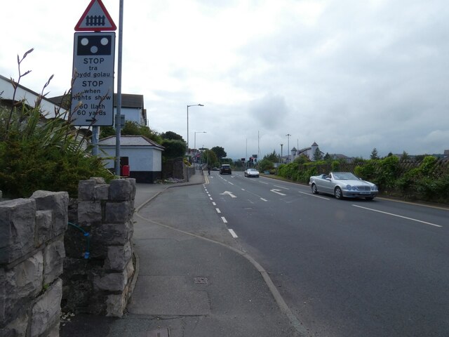
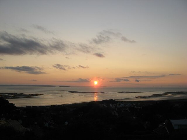
Images are sourced within 2km of 53.2817/-3.8312 or Grid Reference SH7877. Thanks to Geograph Open Source API. All images are credited.


Conwy town walls is located at Grid Ref: SH7877 (Lat: 53.2817, Lng: -3.8312)
Unitary Authority: Conwy
Police Authority: North Wales
What 3 Words
///mincing.shifting.scratches. Near Conwy
Nearby Locations
Related Wikis
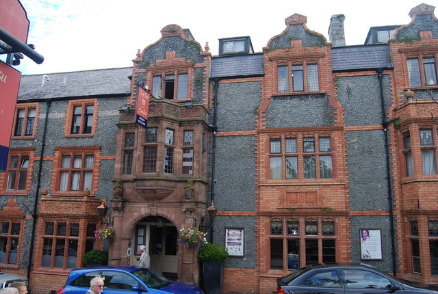
Castle Hotel, Conwy
Castle Hotel is in High Street, opposite to the entrance to Llewelyn Street, in Conwy, Wales. It is designated by Cadw as a Grade II listed building....

Plas Mawr
Plas Mawr (English: Great Hall) is an Elizabethan townhouse in Conwy, North Wales, dating from the 16th century. The property was built by Robert Wynn...
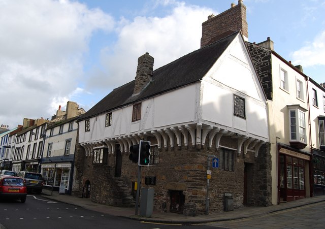
Aberconwy House
Aberconwy House, 2 Castle Street, Conwy, Wales is a medieval merchant's house and one of the oldest dateable houses in Wales. Constructed in the 15th century...

Aberconwy Abbey
Aberconwy Abbey was a Cistercian foundation at Conwy, later transferred to Maenan near Llanrwst, and in the 13th century was the most important abbey in...
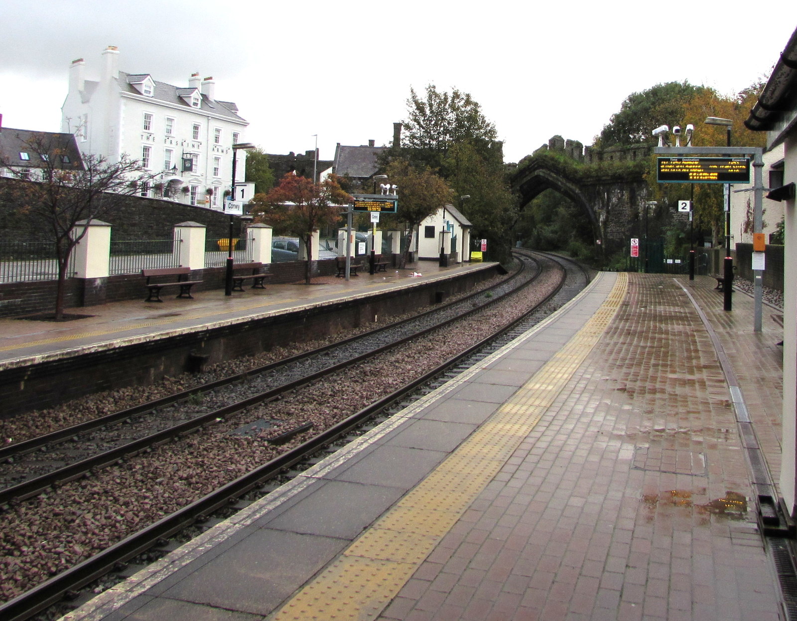
Conwy railway station
Conwy railway station serves the town of Conwy, north Wales, and is located on the North Wales Coast Line, between Crewe and Holyhead. It is served by...
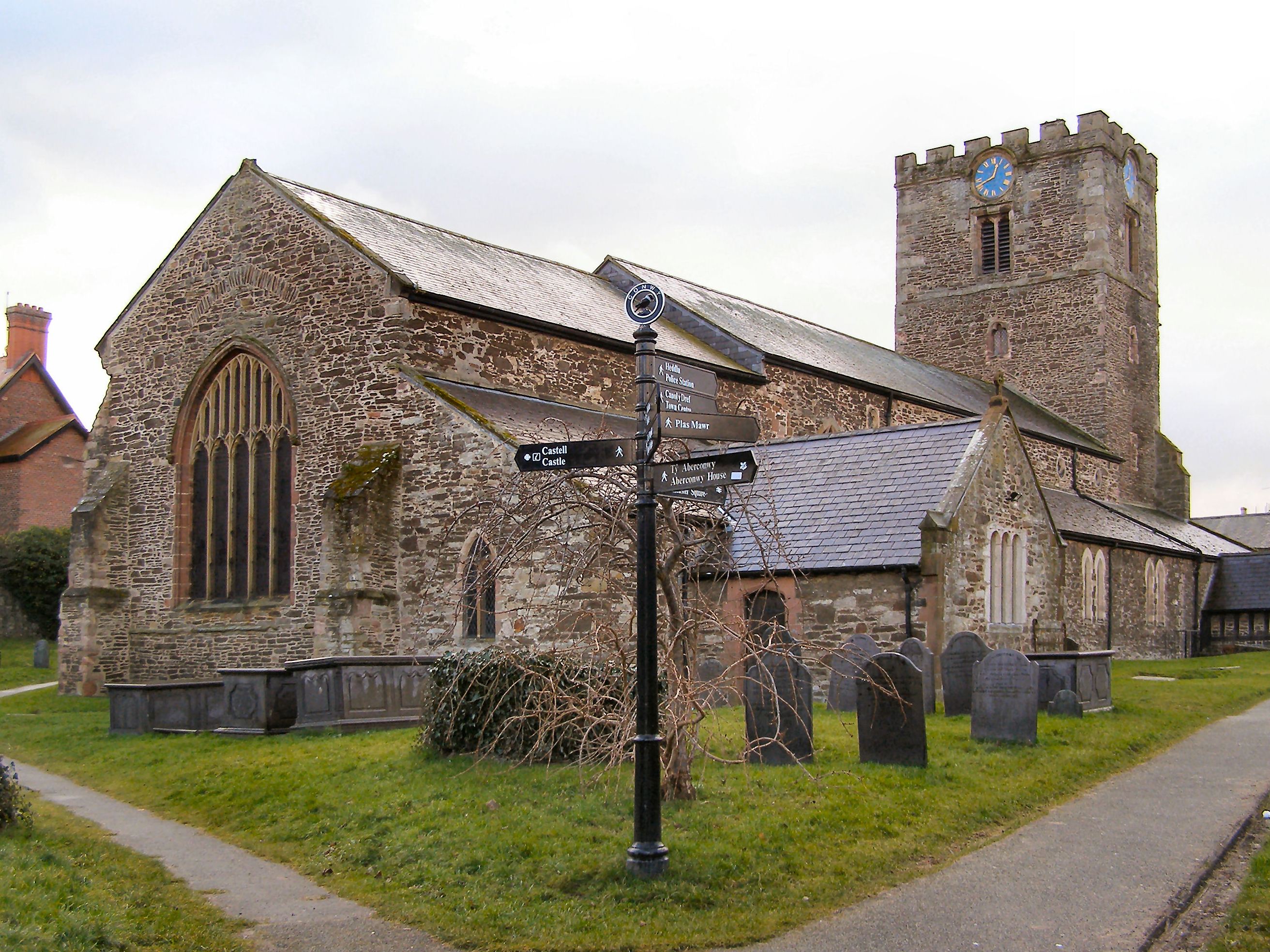
St Mary and All Saints' Church, Conwy
The Church of St Mary & All Saints is the parish church of Conwy, Wales in the United Kingdom. It was originally the Cistercian Aberconwy Abbey, but in...

Smallest House in Great Britain
The Smallest House in Great Britain (Welsh: Y Tŷ Lleiaf ym Mhrydain Fawr), also known as the Quay House, is a tourist attraction on the quay in Conwy,...

Albion Ale House
The Albion Ale House or The Albion is a Grade II listed public house in Conwy, North Wales. Built in 1921, it is a three-room pub with Art Nouveau decor...
Nearby Amenities
Located within 500m of 53.2817,-3.8312Have you been to Conwy town walls?
Leave your review of Conwy town walls below (or comments, questions and feedback).