Middle Winsham

Settlement in Devon North Devon

England

Middle Winsham

Road junction Turning for the Eastern Down Way bridleway.
Road junction Credit: Wayland Smith

Middle Winsham is a small village located in the county of Devon, England. Situated in the East Devon district, it is nestled in the picturesque countryside, surrounded by rolling hills and lush green fields. The village is part of the larger parish of Winsham, which includes Upper Winsham and Lower Winsham.

With a population of around 300 residents, Middle Winsham exudes a quaint and peaceful atmosphere. It boasts a rich history dating back centuries, with evidence of human settlement in the area since the Bronze Age. The village is home to several historical landmarks, including St. Stephen's Church, a Grade II listed building that dates back to the 13th century.

In terms of amenities, Middle Winsham offers a range of facilities to cater to its residents. These include a village hall, a primary school, and a local pub, providing a sense of community for the residents. The village is also well-connected to larger towns and cities, with easy access to nearby transport links such as the A303 and the M5 motorway.

The surrounding countryside offers ample opportunities for outdoor activities, such as hiking, cycling, and horse riding. The area is renowned for its natural beauty, with stunning landscapes and charming rural vistas. Middle Winsham provides a serene escape from the hustle and bustle of city life, making it an ideal location for those seeking a peaceful and idyllic setting.

If you have any feedback on the listing, please let us know in the comments section below.

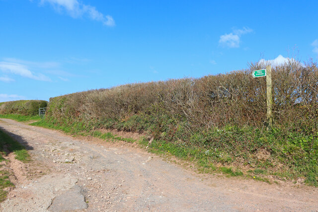
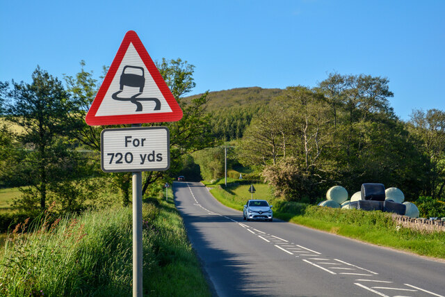
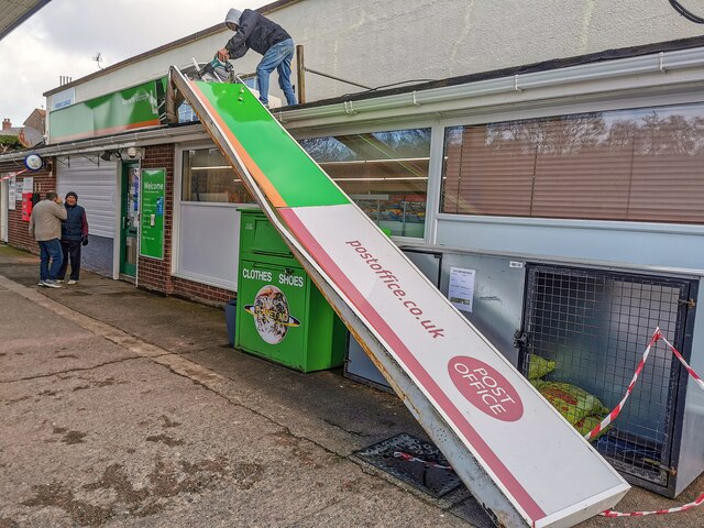
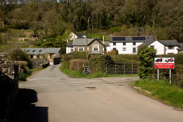
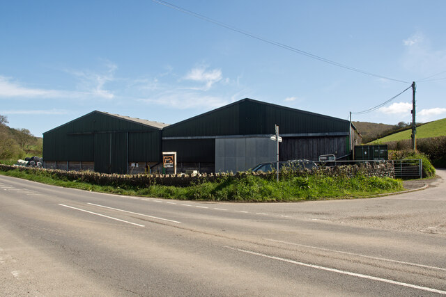
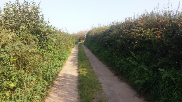
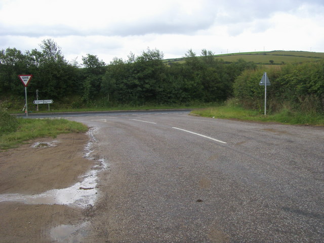
Middle Winsham Images

Images are sourced within 2km of 51.129438/-4.1470279 or Grid Reference SS4938. Thanks to Geograph Open Source API. All images are credited.

Road junction Turning for the Eastern Down Way bridleway.
Road junction
Turning for the Eastern Down Way bridleway.
Stocklands Lake Lake near Heddon Mills.
Stocklands Lake
Lake near Heddon Mills.
Knowle : A361 Looking along the A361.
Knowle : A361
Looking along the A361.
Knowle : A361 Looking along the A361.
Knowle : A361
Looking along the A361.
Knowle : A361 Looking along the A361.
Knowle : A361
Looking along the A361.
Knowle : A361 A tractor pulls out onto the road.
Knowle : A361
A tractor pulls out onto the road.
Knowle : A361 Looking along the A361 near Heddon Mills.
Knowle : A361
Looking along the A361 near Heddon Mills.
Knowle : Knowle Garage Londis Storm Eunice has blown the sign above the shop off.
Knowle : Knowle Garage Londis
Storm Eunice has blown the sign above the shop off.
Knowle : Knowle Garage Londis Storm Eunice has blown the sign above the shop off.
Knowle : Knowle Garage Londis
Storm Eunice has blown the sign above the shop off.
Uppcott : Nethercott Road Looking along the road.
Uppcott : Nethercott Road
Looking along the road.
Nethercott : West Lane Looking along West Lane.
Nethercott : West Lane
Looking along West Lane.
Nethercott : West Lane Looking along West Lane.
Nethercott : West Lane
Looking along West Lane.
A sign at Heddon Mill warning motorists to ignore their satellite navigation systems See also: <a href="https://www.geograph.org.uk/photo/7518798">SS4840 : A sign in North Buckland advising motorists to ignore their Satellite Navigation System</a>
A sign at Heddon Mill warning motorists to ignore their satellite navigation systems
Heddon Mills Farm on the A361 Farms and  farm buildings in the geographical area North Devon. (The administrative area governed by North Devon District Council covers a slightly different area.)
Heddon Mills Farm on the A361
Farms and farm buildings in the geographical area North Devon. (The administrative area governed by North Devon District Council covers a slightly different area.)
Wood Lane
Wood Lane
Old Milestone by the A361, West Down Carved stone post by the A361, in parish of WEST DOWN (NORTH DEVON District), 10m to North of entrance to Pines Dene (300m South of Hidden Valley Touring), buried in bank in overgrown verge, on East side of road. Barum tombstone, erected by the Barnstaple turnpike trust in the 19th century. 

Inscription reads:- : 8 / BARUM : 

Milestone Society National ID: DV_BSIFw08
Old Milestone by the A361, West Down
Carved stone post by the A361, in parish of WEST DOWN (NORTH DEVON District), 10m to North of entrance to Pines Dene (300m South of Hidden Valley Touring), buried in bank in overgrown verge, on East side of road. Barum tombstone, erected by the Barnstaple turnpike trust in the 19th century. Inscription reads:- : 8 / BARUM : Milestone Society National ID: DV_BSIFw08
Eastern Down Lane Eastern Down Lane Bridleway
Eastern Down Lane
Eastern Down Lane Bridleway
Junction with the A361 Lane from Buckland Down at the junction with the A361
Junction with the A361
Lane from Buckland Down at the junction with the A361
Show me another place!

Middle Winsham is located at Grid Ref: SS4938 (Lat: 51.129438, Lng: -4.1470279)

Administrative County: Devon

District: North Devon

Police Authority: Devon and Cornwall

What 3 Words

///copiers.amuse.trappings. Near Braunton, Devon

Related Wikis

Knowle, Devon

Knowle is a village near Braunton located on the A361 road between Ilfracombe and Barnstaple in North Devon, England. It is in the civil parish of Braunton...

Boode

Boode is a small hamlet in North Devon, England. A large dairy farm is situated there. The farm won the Farmers Weekly 'Dairy Farmer of the Year' award...

Knowle Hill Castle

Knowle Hill Castle is an Iron Age hill fort situated close to Braunton in Devon, England. The fort is situated on a hillside forming a promontory above...

Lee Wood

Lee Wood is the location of an Iron Age enclosure or hill fort situated near to Braunton and Barnstaple in Devon, England. The enclosure is situated on...

Nearby Amenities

Located within 500m of 51.129438,-4.1470279
Knowle
Is In: Devon, England, UK
Place: village
Wikidata: Q2196758
Lat/Long: 51.1276834/-4.152631
Winsham
Place: village
Source: OS_OpenData_StreetView
Lat/Long: 51.1291677/-4.146786
Generator Method: photovoltaic
Generator Output Electricity: yes
Generator Source: solar
Generator Type: solar_photovoltaic_panel
Location: roof
Power: generator
Lat/Long: 51.1281373/-4.1538044
Generator Method: photovoltaic
Generator Output Electricity: yes
Generator Source: solar
Generator Type: solar_photovoltaic_panel
Location: roof
Power: generator
Lat/Long: 51.1280902/-4.1537373
Power: pole
Lat/Long: 51.1308088/-4.1447934
Power: pole
Lat/Long: 51.1301305/-4.1459455
Power: pole
Lat/Long: 51.1281232/-4.1475038
Power: pole
Lat/Long: 51.127508/-4.1479772
Power: pole
Lat/Long: 51.1271124/-4.1483018
Power: pole
Lat/Long: 51.126126/-4.1489308
Power: pole
Lat/Long: 51.1318735/-4.1423178
Power: pole
Lat/Long: 51.1311245/-4.1442101
Power: pole
Lat/Long: 51.1325922/-4.1483903
Power: pole
Lat/Long: 51.1319778/-4.1484708
Power: pole
Lat/Long: 51.1311884/-4.14857
Power: pole
Lat/Long: 51.1299328/-4.1486505
Power: pole
Lat/Long: 51.1289497/-4.1487068
Power: pole
Lat/Long: 51.1277394/-4.1488141
Power: pole
Lat/Long: 51.1269449/-4.1488999
Power: pole
Lat/Long: 51.1258558/-4.1502383
Power: pole
Lat/Long: 51.1265106/-4.1496107
Power: pole
Lat/Long: 51.1267463/-4.149085
The data included in this document is from www.openstreetmap.org. The data is made available under ODbL.

Have you been to Middle Winsham?

Leave your review of Middle Winsham below (or comments, questions and feedback).