White Dirt Rock

Island in Berwickshire

Scotland

White Dirt Rock

Siccar Point from Marly Brae
Siccar Point from Marly Brae Credit: Mick Garratt

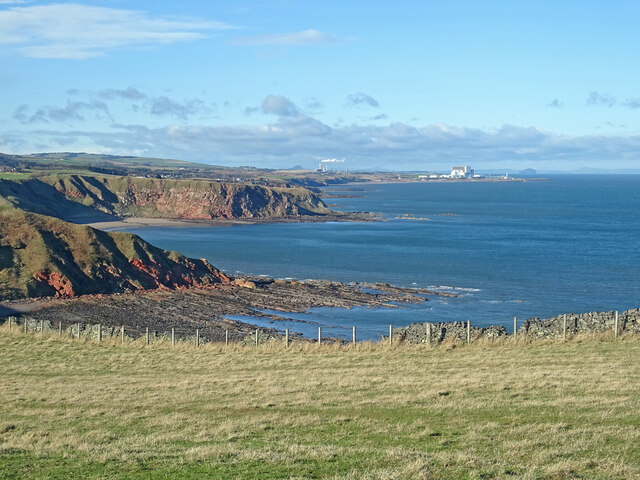
White Dirt Rock is a small island located off the coast of Berwickshire, Scotland. With a total area of approximately 0.1 square kilometers, it is one of the smallest islands in the region. The island is situated in the North Sea, around 3 kilometers southeast of the town of Eyemouth.

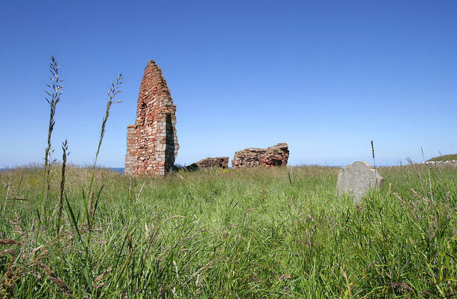
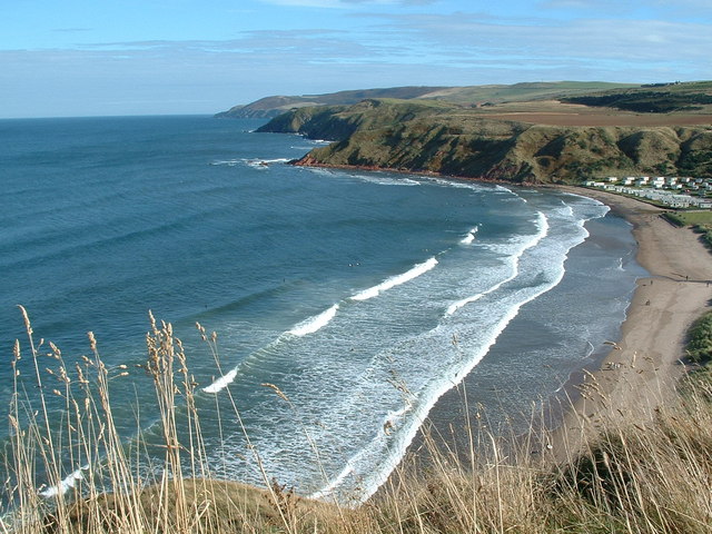
White Dirt Rock is known for its distinctive white cliffs that give the island its name. These cliffs, made up of sedimentary rock, rise up to 20 meters in height and provide a striking visual feature against the surrounding blue waters. The island is mostly barren, with little vegetation or wildlife, but it attracts visitors for its natural beauty and unique geological formations.

Access to White Dirt Rock is limited due to its remote location, and there are no permanent residents on the island. However, it is a popular spot for birdwatchers and nature enthusiasts who come to observe the seabird colonies that inhabit the cliffs. Species such as kittiwakes, fulmars, and guillemots can be spotted nesting on the rocky ledges.

The island is not suitable for overnight stays or recreational activities due to its rugged and inhospitable terrain. However, boat tours and excursions are available from nearby coastal towns, providing visitors with the opportunity to admire the island's scenic landscape and wildlife.

Overall, White Dirt Rock is a small but remarkable island known for its striking white cliffs and diverse birdlife. It offers a unique experience for those seeking a glimpse of Scotland's rugged coastline and natural wonders.

If you have any feedback on the listing, please let us know in the comments section below.

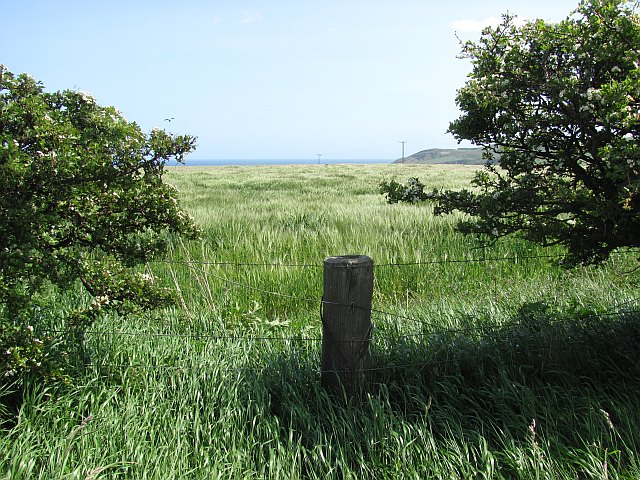
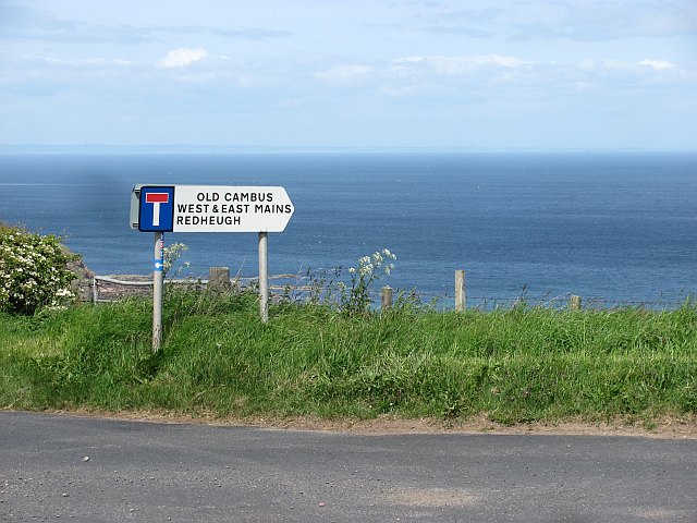
White Dirt Rock Images

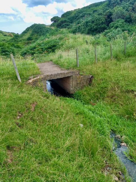
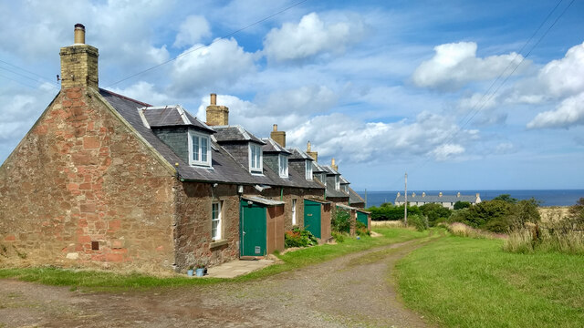
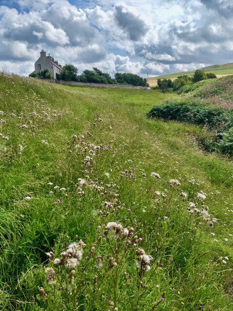
Images are sourced within 2km of 55.931203/-2.3086645 or Grid Reference NT8070. Thanks to Geograph Open Source API. All images are credited.

Siccar Point from Marly Brae
Old Cambus Burn
Old Cambus Burn
Redheugh Cottages
Redheugh Cottages
Little Cleugh Burn
Little Cleugh Burn
North coast, Berwickshire The Lammermuir Hills meet the sea. View from near Dowlaw towards headlands including the famous Siccar Point.
North coast, Berwickshire
The Lammermuir Hills meet the sea. View from near Dowlaw towards headlands including the famous Siccar Point.
Clifftop View near Old Cambus A windy but bright day on the coast south of Pease Bay. The strength of the wind can be gauged by the smoke coming from Dunbar cement works. Also seen is Berwick Law, Torness Power Station and the Bass Rock.
Clifftop View near Old Cambus
A windy but bright day on the coast south of Pease Bay. The strength of the wind can be gauged by the smoke coming from Dunbar cement works. Also seen is Berwick Law, Torness Power Station and the Bass Rock.
Having a drink This cow was drinking from a puddle on a muddy farm track at Red Heugh.
Having a drink
This cow was drinking from a puddle on a muddy farm track at Red Heugh.
Cattle at Red Heugh The cattle in this large field also have access to land at the shore.
Cattle at Red Heugh
The cattle in this large field also have access to land at the shore.
The shoreline at Meikle Poo Craig
The shoreline at Red Heugh Many grey seals and pups were on the shoreline.
The shoreline at Red Heugh
Many grey seals and pups were on the shoreline.
Gate and Stile at Siccar Point Looking from Siccar Point back at the gate and stile that need to be crossed to reach the point.
Gate and Stile at Siccar Point
Looking from Siccar Point back at the gate and stile that need to be crossed to reach the point.
The shore at Marly Brae The rocks in this area are mainly old red sandstone.
The shore at Marly Brae
The rocks in this area are mainly old red sandstone.
Pockmarked red sandstone rock at Marly Brae
The shore at Red Heugh This colourful scene of stones and boulders was viewed at low tide.
The shore at Red Heugh
This colourful scene of stones and boulders was viewed at low tide.
Barley, Old Cambus Ripening barley below Penmanshiel Moor.
Barley, Old Cambus
Ripening barley below Penmanshiel Moor.
St Helen's Church, Old Cambus This red sandstone ruin is the former parish church of Old Cambus. Some 18th century gravestones are on the south side of the church remains. The building was also known as St Helena’s Chapel.
St Helen's Church, Old Cambus
This red sandstone ruin is the former parish church of Old Cambus. Some 18th century gravestones are on the south side of the church remains. The building was also known as St Helena’s Chapel.
Barley, Old Cambus
Barley, Old Cambus
Road sign, Hog's Law A distant view of the East Neuk of Fife.
Road sign, Hog's Law
A distant view of the East Neuk of Fife.
Show me another place!

White Dirt Rock is located at Grid Ref: NT8070 (Lat: 55.931203, Lng: -2.3086645)

Unitary Authority: The Scottish Borders

Police Authority: The Lothians and Scottish Borders

What 3 Words

///copycat.silly.landscape. Near Dunbar, East Lothian

Related Wikis

Siccar Point

Siccar Point is a rocky promontory in the county of Berwickshire on the east coast of Scotland. It is famous in the history of geology for Hutton's Unconformity...

Battle of Piperdean

The Battle of Piperdean was an engagement in the Scottish Borders, fought on 10 September 1435 between the Kingdom of Scotland and the Kingdom of England...

Pease Bay

Pease Bay is a bay, situated miles southeast of Dunbar, in the Scottish Borders area of Scotland, close to the border with East Lothian as well as Cockburnspath...

Pease Dean

Pease Dean is a nature reserve at Pease Bay, in the Scottish Borders area of Scotland, near the Anglo-Scottish border and Cockburnspath, Cove, and Dunglass...

Nearby Amenities

Located within 500m of 55.931203,-2.3086645
Siccar Point
Place: locality
Wikidata: Q740491
Wikipedia: en:Siccar Point
Lat/Long: 55.9313162/-2.3016804
Power: pole
Lat/Long: 55.9268064/-2.3092728
Barrier: stile
Image: https://www.geograph.org.uk/photo/7510022
Material: wood
Stile: stepover
Lat/Long: 55.9303443/-2.3037228
The data included in this document is from www.openstreetmap.org. The data is made available under ODbL.

Have you been to White Dirt Rock?

Leave your review of White Dirt Rock below (or comments, questions and feedback).