An Garbh-Eilean
Island in Ross-shire
Scotland
An Garbh-Eilean
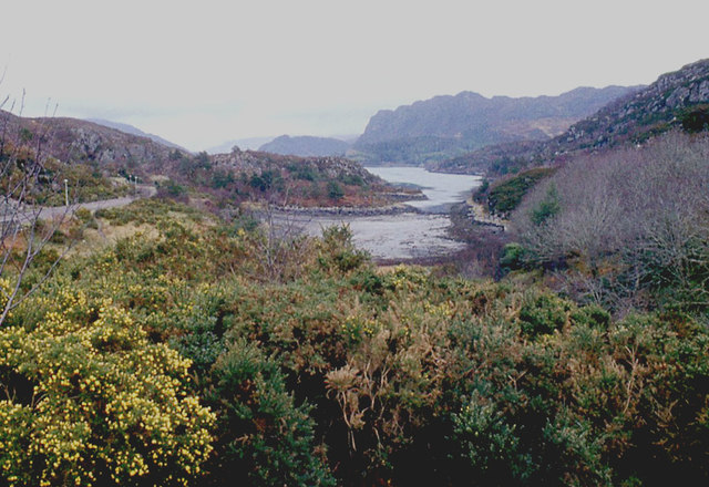
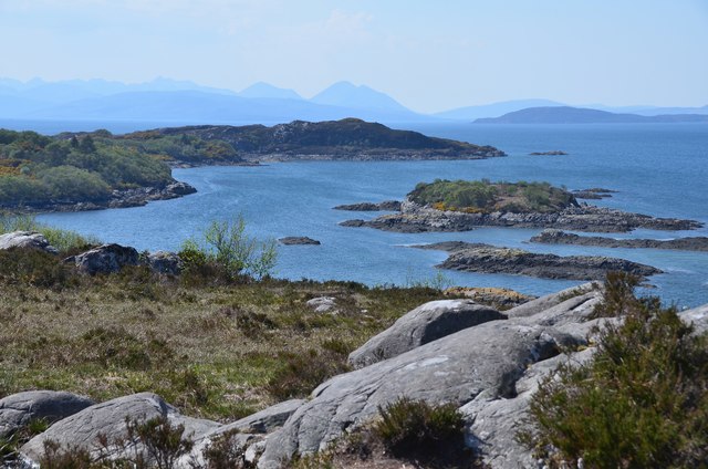
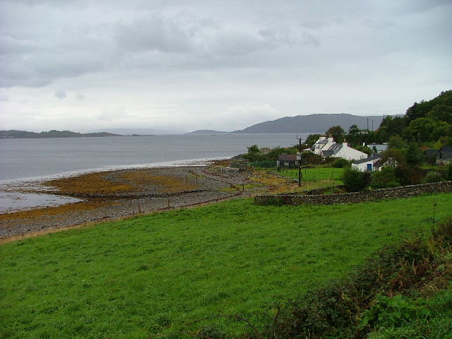
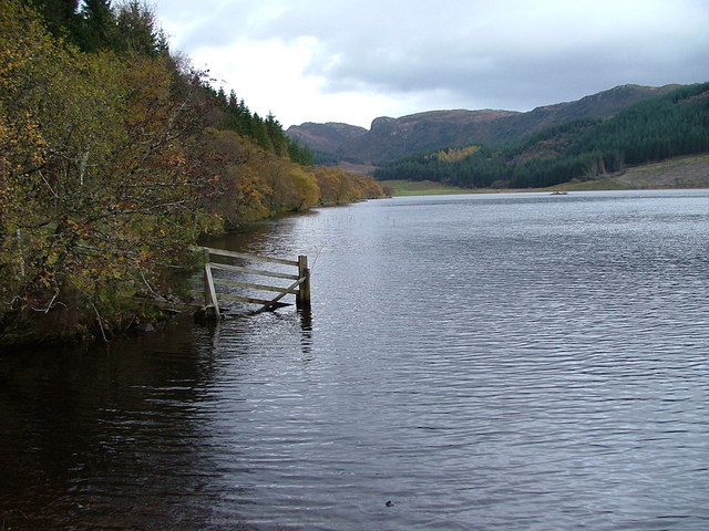
An Garbh-Eilean is a small island located off the coast of Ross-shire in the Scottish Highlands. Also known as the "Rough Island," it is situated in the picturesque waters of the Inner Sound, between the mainland and the Isle of Skye. The island covers an area of approximately 2.5 hectares and is primarily composed of rugged cliffs, rocky shores, and a small grassy plateau.
Due to its remote location and challenging terrain, An Garbh-Eilean is uninhabited and has no permanent structures or facilities. However, it is a popular destination for wildlife enthusiasts and birdwatchers, as the island serves as a nesting site for various seabird species, including guillemots, razorbills, and puffins. The surrounding waters are also home to seals, porpoises, and occasionally dolphins, making it a haven for marine life.
Access to An Garbh-Eilean is limited and is typically only possible by private boat or organized wildlife tours. The island's rugged landscape and lack of amenities make it a destination suited for those seeking solitude and a connection with nature. Visitors are advised to take caution when exploring the island, as the cliffs can be steep and unstable.
With its stunning coastal views, diverse wildlife, and untouched natural beauty, An Garbh-Eilean offers a unique experience for those looking to immerse themselves in the rugged landscapes of the Scottish Highlands.
If you have any feedback on the listing, please let us know in the comments section below.
An Garbh-Eilean Images
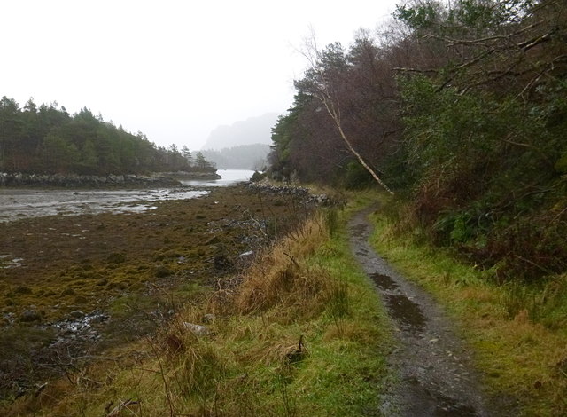
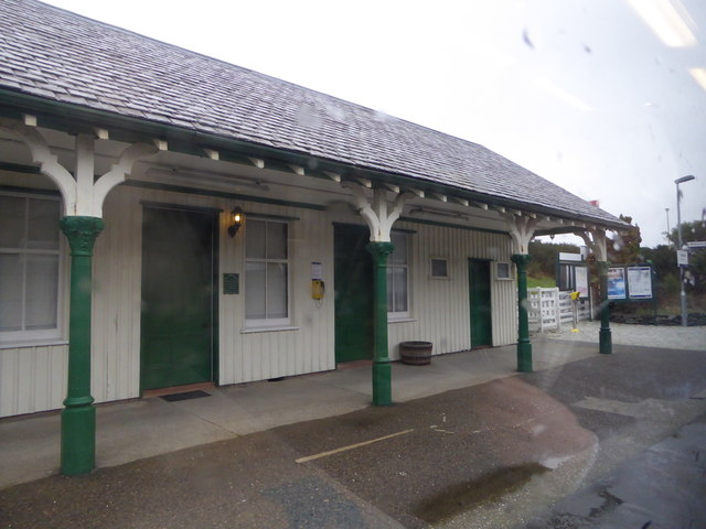
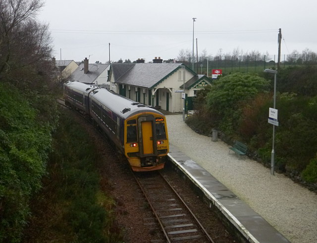
Images are sourced within 2km of 57.34696/-5.6505225 or Grid Reference NG8034. Thanks to Geograph Open Source API. All images are credited.


An Garbh-Eilean is located at Grid Ref: NG8034 (Lat: 57.34696, Lng: -5.6505225)
Unitary Authority: Highland
Police Authority: Highlands and Islands
What 3 Words
///nurse.choppy.undertone. Near Kyleakin, Highland
Related Wikis

Plockton
Plockton (Scottish Gaelic: Am Ploc/Ploc Loch Aillse) is a village in the Lochalsh, Wester Ross area of the Scottish Highlands with a 2020 population of...

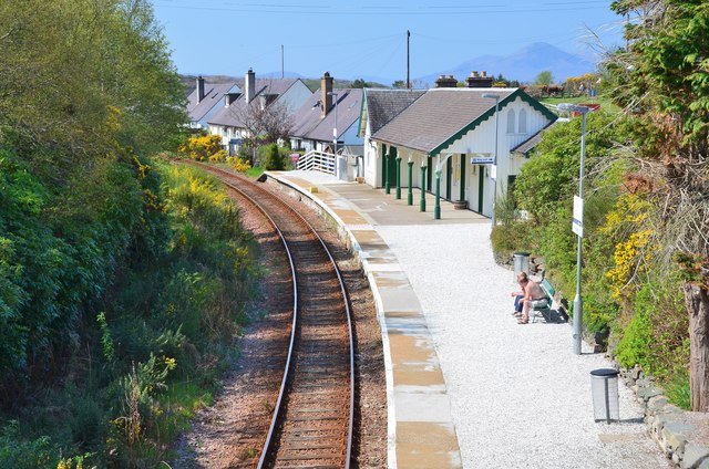
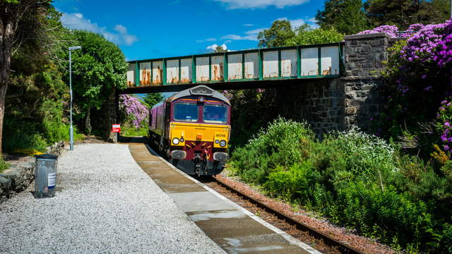
Duncraig railway station
Duncraig railway station is a remote railway station by the shore of Loch Carron on the Kyle of Lochalsh Line, originally (privately) serving Duncraig...

Duncraig Castle
Duncraig Castle is a mansion in Lochalsh, in the west of the Scottish Highlands. A category-C listed building, it is situated in the Highland council area...

Plockton High School
Plockton High School is a 221-pupil high school in the village of Plockton, Scotland. The catchment area for the school stretches from Applecross in the...

Plockton railway station
Plockton railway station is a railway station on the Kyle of Lochalsh Line, serving the village of Plockton in the Highlands, north-west Scotland. The...
Ardaneaskan
Ardaneaskan (Scottish Gaelic: Àird nan Easgann) is a village on the north shore of Loch Carron in Strathcarron, Ross-shire, in Highland, and is within...

Port an Eòrna
Port an Eòrna is the Scottish Gaelic name for the small settlement of Barleyport, situated almost midway between Plockton and the Kyle of Lochalsh, in...
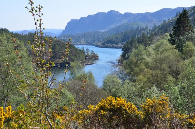
Loch Achaidh na h-Inich
Loch Achaidh na h-Inich is a freshwater loch in Scotland, located around 3 kilometres (1.9 mi) south-south-east of Plockton, 2 kilometres (1.2 mi) east...
Nearby Amenities
Located within 500m of 57.34696,-5.6505225Have you been to An Garbh-Eilean?
Leave your review of An Garbh-Eilean below (or comments, questions and feedback).