Ayre of Birrier

Coastal Marsh, Saltings in Shetland

Scotland

Ayre of Birrier

Loch of Vatsetter As is very common in Shetland, this freshwater loch is narrowly separated from an arm of the sea by a shingle bar.
Loch of Vatsetter Credit: Oliver Dixon

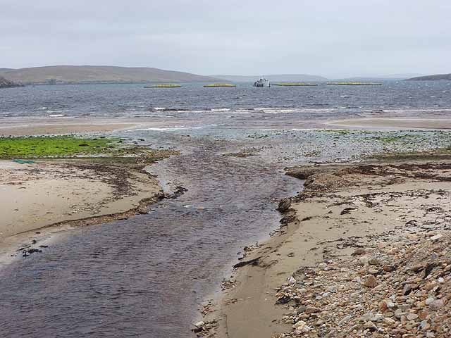
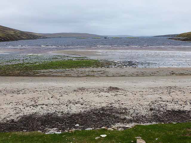
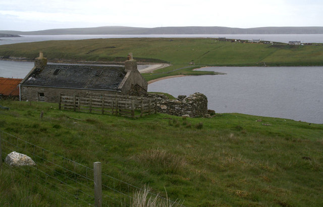
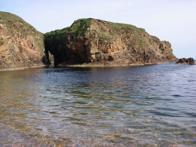
Ayre of Birrier is a coastal marsh and saltings located in the Shetland Islands, Scotland. Situated on the eastern coast of Mainland, the largest island in the Shetlands, Ayre of Birrier spans an area of approximately 100 acres.

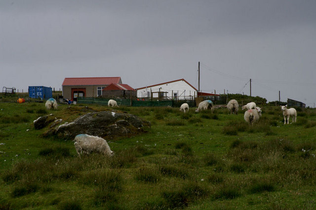
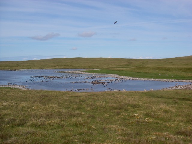
The site is characterized by its unique combination of wetland habitats, including saltmarsh, tidal mudflats, and brackish pools. It is an important area for both resident and migratory bird species, serving as a vital feeding and nesting ground. The abundance of invertebrates found in the mudflats attracts a variety of wading birds, such as curlews, redshanks, and oystercatchers. Additionally, the saltmarsh provides habitat for breeding species like lapwings and snipe.

The Ayre of Birrier is also notable for its diverse plant life. The saltmarsh is dominated by salt-tolerant grasses, including sea couch and sea arrowgrass, while the higher areas are home to a variety of wildflowers, such as thrift and sea campion. The site supports a rich invertebrate fauna, including rare species of beetles and butterflies.

Due to its ecological significance, Ayre of Birrier has been designated as a Site of Special Scientific Interest (SSSI) and a Special Protection Area (SPA) for birds. It is managed by the Scottish Natural Heritage, which aims to preserve and enhance the unique habitats found within the site.

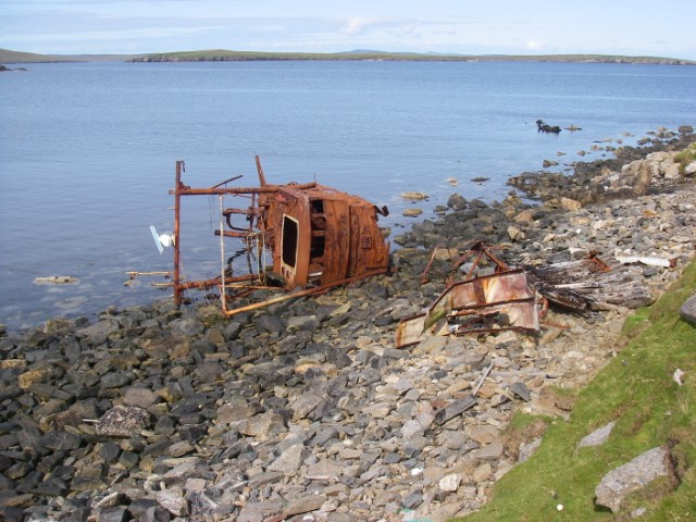
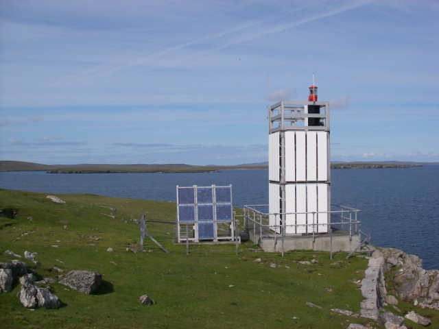
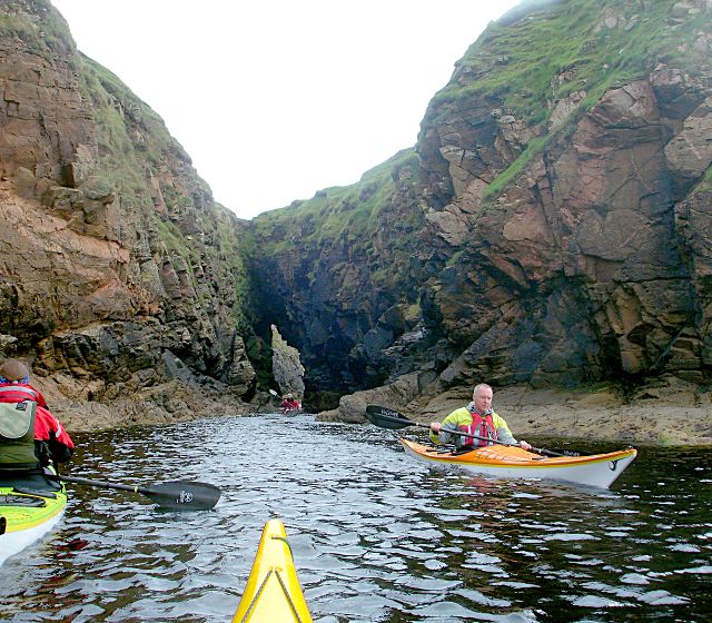
The Ayre of Birrier is not only a haven for wildlife enthusiasts but also offers beautiful panoramic views over the surrounding coastline, making it a popular destination for nature lovers and photographers alike.

If you have any feedback on the listing, please let us know in the comments section below.

Ayre of Birrier Images

Images are sourced within 2km of 60.575998/-1.0103436 or Grid Reference HU5488. Thanks to Geograph Open Source API. All images are credited.

Loch of Vatsetter As is very common in Shetland, this freshwater loch is narrowly separated from an arm of the sea by a shingle bar.
Loch of Vatsetter
As is very common in Shetland, this freshwater loch is narrowly separated from an arm of the sea by a shingle bar.
Wick of Vatsetter With fish farm. The stream in the foreground drains the Loch of Vatsetter which is narrowly separated from the sea by a shingle bar.
Wick of Vatsetter
With fish farm. The stream in the foreground drains the Loch of Vatsetter which is narrowly separated from the sea by a shingle bar.
Beach at the head of the Wick of Vatsetter With fish farms.
Beach at the head of the Wick of Vatsetter
With fish farms.
Roofless building With the Loch (and beyond it the Wick) of Vatsetter in the distance.
Roofless building
With the Loch (and beyond it the Wick) of Vatsetter in the distance.
Loch of Vatsetter A ruined croft above the Loch of Vatsetter, with the narrow ayre separating the loch from the sea just visible beyond.
Loch of Vatsetter
A ruined croft above the Loch of Vatsetter, with the narrow ayre separating the loch from the sea just visible beyond.
Vatsetter Pronounced 'Vatster'; a small group of houses above the loch. Fetlar is in the distance.
Vatsetter
Pronounced 'Vatster'; a small group of houses above the loch. Fetlar is in the distance.
Tow An abandoned croft above the Loch of Vatsetter.
Tow
An abandoned croft above the Loch of Vatsetter.
Hogalee Burn The burn rises on the hill of Hoga Lee and flows into the Loch of Vatsetter but, like several other Shetland burns, it has several names along the way.
Hogalee Burn
The burn rises on the hill of Hoga Lee and flows into the Loch of Vatsetter but, like several other Shetland burns, it has several names along the way.
Moorhouse, North Aywick
Wreck near Rana The low-lying island of Hascosay is seen across South Sound.
Wreck near Rana
The low-lying island of Hascosay is seen across South Sound.
Ruin at Whitehill An unroofed house standing alone in the landscape - a common sight in Shetland.
Ruin at Whitehill
An unroofed house standing alone in the landscape - a common sight in Shetland.
Whitehill Lighthouse This low light stands about 70ft above the sea and looks north to Hascosay and east to Fetlar.
Whitehill Lighthouse
This low light stands about 70ft above the sea and looks north to Hascosay and east to Fetlar.
Loch of Birrier A dry summer had resulted in a relatively low water level in this shallow loch below the gentle slopes of the White Hill of Vatsetter (to east/right). It was populated by large numbers of birds.
Loch of Birrier
A dry summer had resulted in a relatively low water level in this shallow loch below the gentle slopes of the White Hill of Vatsetter (to east/right). It was populated by large numbers of birds.
Birrier from the bay This broad stack of psammitic rock is linked to mainland Yell by a narrow arch, over which sheep cross to graze its flat top.
Birrier from the bay
This broad stack of psammitic rock is linked to mainland Yell by a narrow arch, over which sheep cross to graze its flat top.
Salt Wick and Vatsetter This north-east facing bay is backed by a beach of shingle and cobbles.
Salt Wick and Vatsetter
This north-east facing bay is backed by a beach of shingle and cobbles.
Sea Cave at Birrier The small island is joined to the mainland of Yell by a narrow strip of grass over this sea cave which is an obvious through-route for passing sea kayakers exploring this exciting stretch of coast.
Sea Cave at Birrier
The small island is joined to the mainland of Yell by a narrow strip of grass over this sea cave which is an obvious through-route for passing sea kayakers exploring this exciting stretch of coast.
North Aywick from the sea
Whitehill Lighthouse, Vatsetter
Show me another place!

Ayre of Birrier is located at Grid Ref: HU5488 (Lat: 60.575998, Lng: -1.0103436)

Unitary Authority: Shetland Islands

Police Authority: Highlands and Islands

What 3 Words

///trapdoor.regulator.encodes. Near Houbie, Shetland Islands

Related Wikis

Aywick

Aywick is a small settlement on the east side of Yell, an island forming part of the Shetland Islands north of Scotland.The naturalist Bobby Tulloch was...

Otterswick

Otterswick is a hamlet on the island of Yell in the Shetland Islands, on the inlet of Otters Wick. It is on the east side of the island. There is also...

Mid Yell

Mid Yell is a coastal settlement on the island of Yell, the second largest of Shetland Islands, Scotland. Mid Yell, the largest settlement on the island...

Hascosay

Hascosay (Scots: Hascosay; Old Norse "Hafskotsey") is a small island lying between Yell and Fetlar in the Shetland Islands, Scotland. == Geography and... ==

Gossabrough

Gossabrough is a coastal hamlet, wick and ness on the southeast side of the island of Yell, Shetland, Scotland. The Wick of Gossabrough lies between the...

Brough Lodge

Brough Lodge is a 19th-century Gothic mansion on Fetlar, one of the Shetland Islands, in northern Scotland. Built by the Nicolson family, who were responsible...

Basta, Shetland

Basta is a hamlet on the island of Yell in the Shetland islands of Scotland. It is on the shores of Basta Voe and is in the parish of Yell. == References... ==

Yell, Shetland

Yell (Scots: Yell) is one of the North Isles of Shetland, Scotland. In the 2011 census it had a usually resident population of 966. It is the second largest...

Have you been to Ayre of Birrier?

Leave your review of Ayre of Birrier below (or comments, questions and feedback).