Ayre of Tarrigeos
Coastal Marsh, Saltings in Shetland
Scotland
Ayre of Tarrigeos
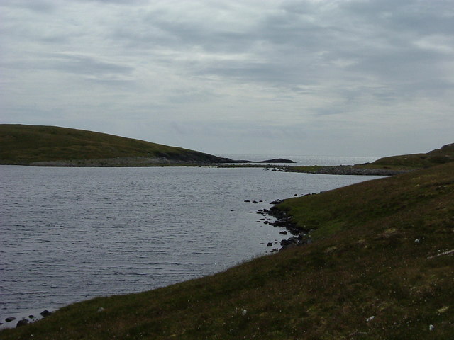
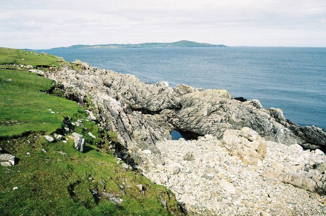
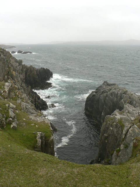
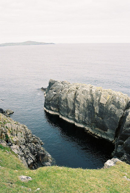
Ayre of Tarrigeos is a captivating coastal marsh located in the Shetland Islands, Scotland. Situated on the eastern coast of the main island, this area is renowned for its unique and diverse ecosystem. The marsh is bordered by the North Sea to the east and is characterized by its extensive salt marshes and saltings.
The Ayre of Tarrigeos is a coastal wetland that experiences the ebb and flow of tides, resulting in a dynamic habitat that supports a wide range of plant and animal species. The salt marshes are dominated by halophyte plants like sea aster, sea lavender, and sea milkwort, which are specially adapted to thrive in the saline conditions.
This area is a haven for a variety of bird species, especially during the breeding season. Species such as redshanks, oystercatchers, and curlews can be spotted foraging for food along the mudflats and shallow waters. The marshes also provide an important breeding ground for waders like lapwings and snipes.
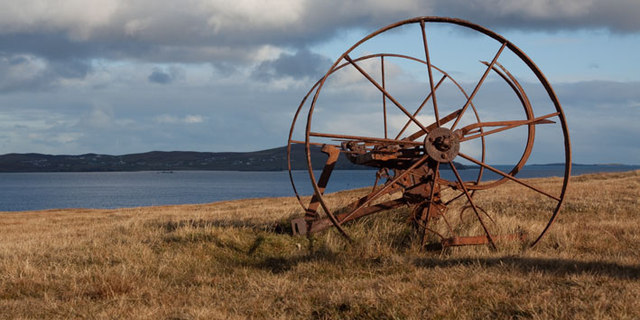
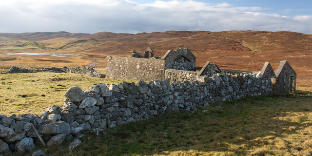
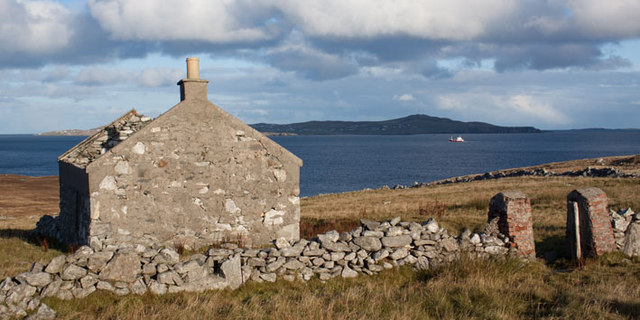
The Ayre of Tarrigeos is not only ecologically significant but also holds historical and cultural value. It has been used for centuries for grazing livestock, and evidence of its past agricultural use can still be seen today. The surrounding landscape offers stunning views of the coastline and the nearby Mousa Broch, an ancient tower that stands as a testament to the island's rich history.
Accessible via a network of footpaths, the Ayre of Tarrigeos is a popular destination for nature lovers, birdwatchers, and those seeking tranquility amidst the rugged beauty of the Shetland Islands.
If you have any feedback on the listing, please let us know in the comments section below.
Ayre of Tarrigeos Images
Images are sourced within 2km of 60.325058/-1.0892515 or Grid Reference HU5060. Thanks to Geograph Open Source API. All images are credited.


Ayre of Tarrigeos is located at Grid Ref: HU5060 (Lat: 60.325058, Lng: -1.0892515)
Unitary Authority: Shetland Islands
Police Authority: Highlands and Islands
What 3 Words
///reject.curls.verve. Near Symbister, Shetland Islands
Nearby Locations
Related Wikis

Neap
Neap is a small village in the east coast of the Mainland of the Shetland Islands, Scotland. Neap is situated at the end of the road from Brettabister...

Billister
Billister is a settlement in the parish of Nesting, on the island of Mainland, in Shetland, Scotland. It is on Lax Firth. Billister was formerly the terminal...

Holm of Sandwick
The Holm of Sandwick is an islet, located roughly 100 metres (330 ft) off Haa Ness and the southwestern side of Whalsay, in the Shetland Islands of Scotland...

Nesting, Shetland
Nesting is a parish in the Shetland Islands, Scotland. It includes a part of the east Shetland Mainland, measuring about twelve by four miles (19 by 6...
Have you been to Ayre of Tarrigeos?
Leave your review of Ayre of Tarrigeos below (or comments, questions and feedback).