Bowl Rock
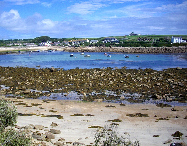
Coastal Marsh, Saltings in Cornwall
England
Bowl Rock

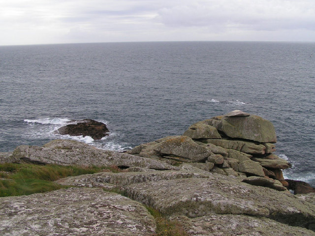
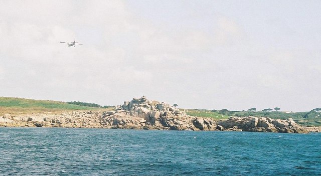
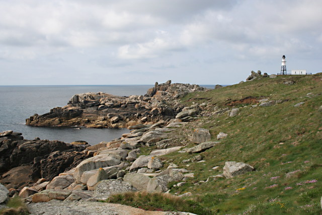
Bowl Rock is a prominent feature located in Cornwall, England, renowned for its unique geological formation and its significance in the local ecosystem. Situated within a coastal marsh and saltings area, Bowl Rock is a large rock formation that rises out of the marshland, creating a distinct bowl-like shape.
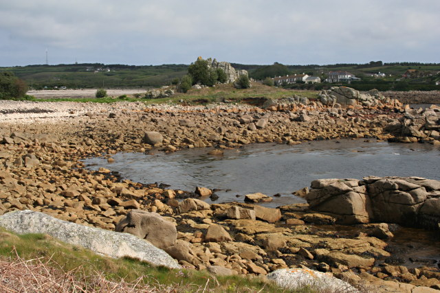
The rock itself is composed mainly of granite, a common rock type in Cornwall, and has been shaped over centuries by the forces of erosion and weathering. Its smooth surface and rounded edges give it a visually striking appearance. The surrounding coastal marsh and saltings provide a diverse habitat for a variety of plant and animal species, making Bowl Rock an important ecological site.
The marshland surrounding Bowl Rock is characterized by its salt-tolerant vegetation, including saltmarsh grasses, samphire, and sea lavender. These plants not only contribute to the unique aesthetic of the area but also provide a vital habitat for numerous bird species, such as waders and waterfowl. These birds can often be observed feeding and nesting in the marshes.
Bowl Rock and its surrounding marshland also serve as a popular destination for nature enthusiasts and hikers. Visitors can enjoy walking along the designated trails that provide stunning views of the rock formation and the surrounding coastal landscape. The area is particularly picturesque during high tide when the marshes become flooded, creating a serene and reflective atmosphere.
Due to its ecological significance and natural beauty, Bowl Rock is protected as part of a larger conservation area, ensuring its preservation for future generations. It serves as a testament to the fascinating geological and ecological history of Cornwall, making it a must-visit destination for both locals and tourists alike.
If you have any feedback on the listing, please let us know in the comments section below.
Bowl Rock Images
Images are sourced within 2km of 49.911628/-6.3006613 or Grid Reference SV9110. Thanks to Geograph Open Source API. All images are credited.


Bowl Rock is located at Grid Ref: SV9110 (Lat: 49.911628, Lng: -6.3006613)
Division: Isles of Scilly
Unitary Authority: Isles of Scilly
Police Authority: Devon and Cornwall
What 3 Words
///pies.encodes.plus. Near St Mary's, Isles of Scilly
Nearby Locations
Related Wikis
Old Town, Isles of Scilly
Old Town (Cornish: Treveglos "church town") is a village on St Mary's in the Isles of Scilly located southeast of Hugh Town. It is thought to be the oldest...

St Mary's Old Church, St Mary's
St Mary's Old Church, St Mary's is a parish church in the Church of England located in Old Town on St Mary's, Isles of Scilly, Cornwall, United Kingdom...
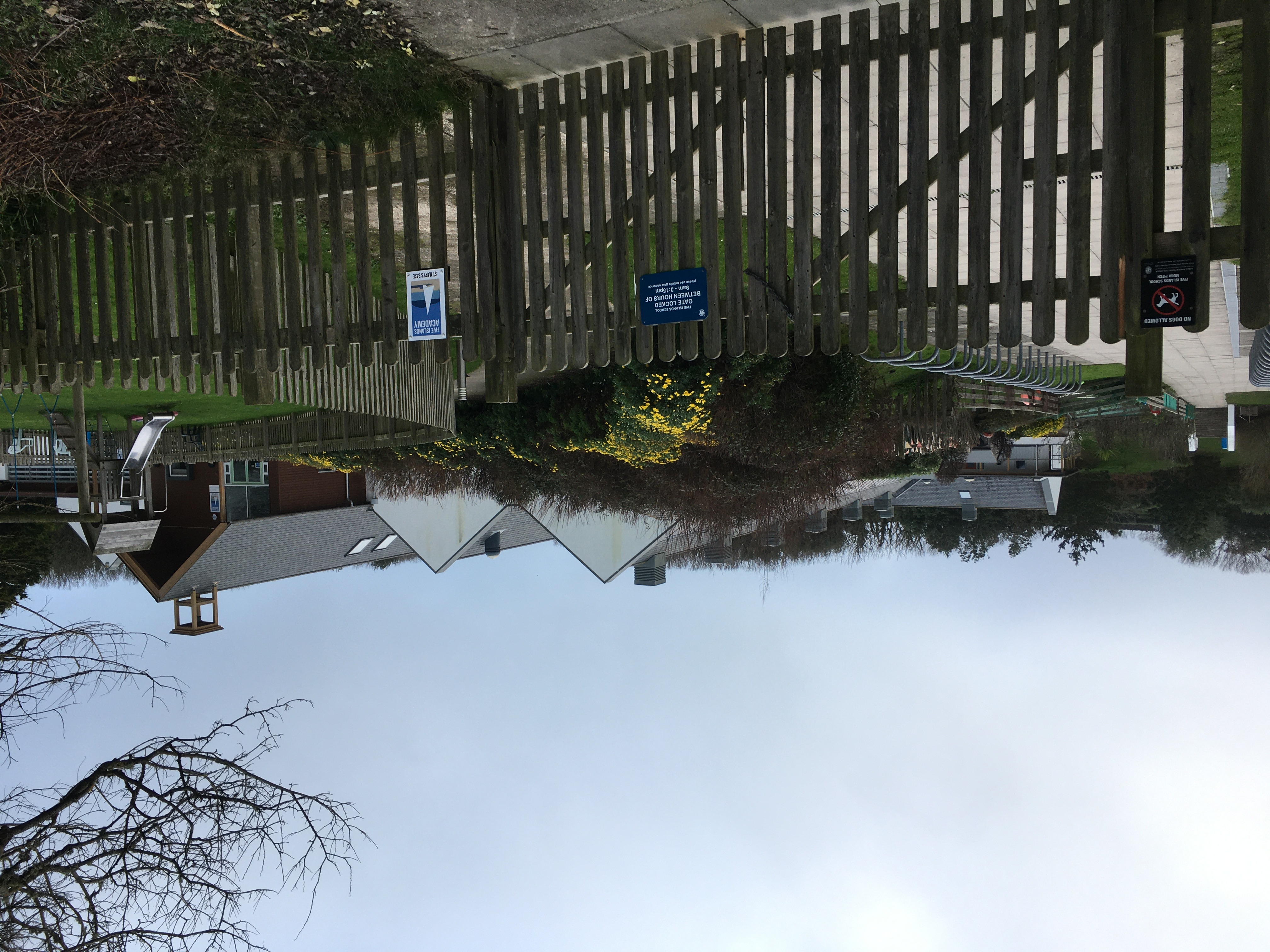
Five Islands Academy
Five Islands Academy, formerly Five Islands School, is the first federated school in the United Kingdom, providing primary and secondary education for...

Lower Moors (St Mary's)
The Lower Moors is a wetland between Hugh Town and Old Town Bay on St Mary's, the largest island in the Isles of Scilly. The Isles of Scilly are an archipelago...
Nearby Amenities
Located within 500m of 49.911628,-6.3006613Have you been to Bowl Rock?
Leave your review of Bowl Rock below (or comments, questions and feedback).