Britta Geo
Coastal Feature, Headland, Point in Shetland
Scotland
Britta Geo

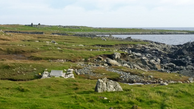
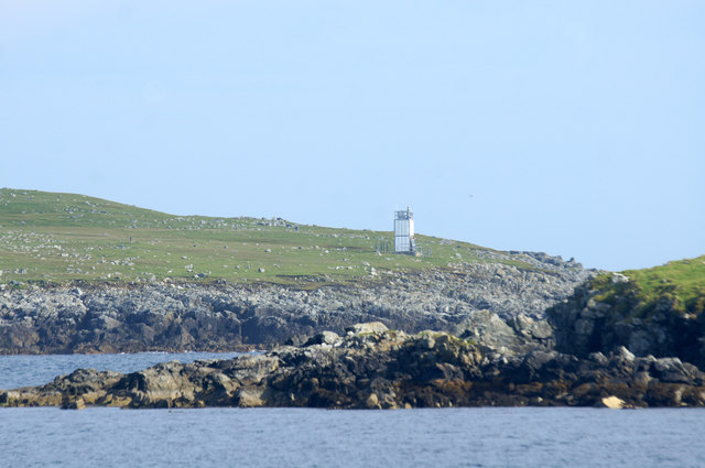
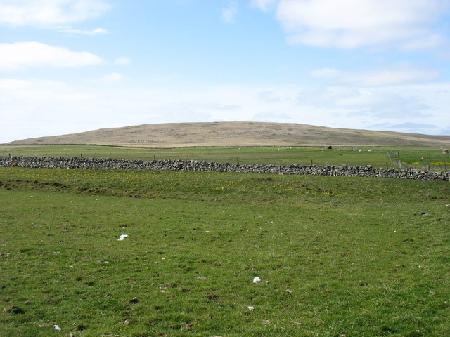
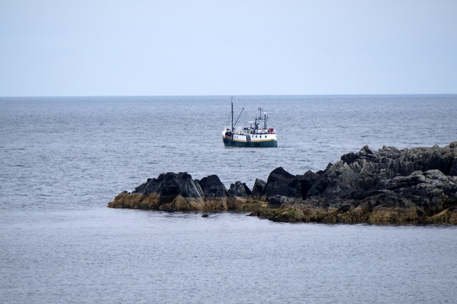
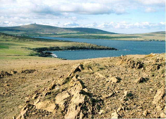
Britta Geo is a prominent coastal feature located in Shetland, Scotland. It is classified as a headland or point, as it extends out into the sea, forming a distinct and recognizable landform. With its unique geological characteristics and stunning natural beauty, Britta Geo is a popular destination for tourists and nature enthusiasts alike.
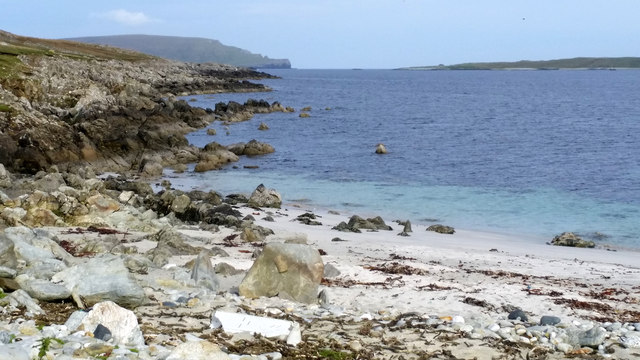
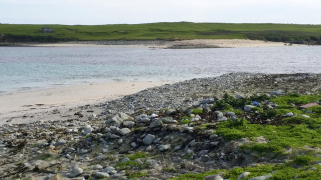
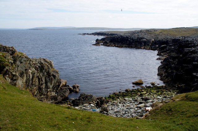
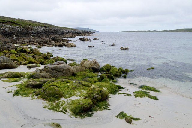
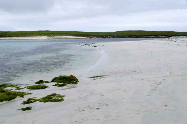
Situated on the rugged coastline of Shetland, Britta Geo offers breathtaking views of the surrounding landscape. The headland is composed of a series of steep cliffs that plunge dramatically into the North Sea, creating a dramatic and imposing sight. The cliffs are made up of layers of sedimentary rocks, showcasing the area's geological history and providing insight into the region's past.
One of the notable features of Britta Geo is the presence of sea caves, which have been formed over millennia by the relentless power of the waves crashing against the cliffs. These caves offer a glimpse into the hidden world beneath the surface, and their eerie beauty adds to the enchantment of the area.
The headland is also home to a diverse range of flora and fauna. The exposed cliffs provide a nesting site for seabirds, including puffins, guillemots, and fulmars. Visitors can often spot these birds perched on the cliff ledges or soaring above the sea. On the land, heathland vegetation thrives, adding a splash of color to the rugged terrain.
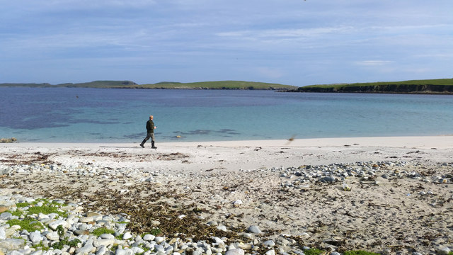
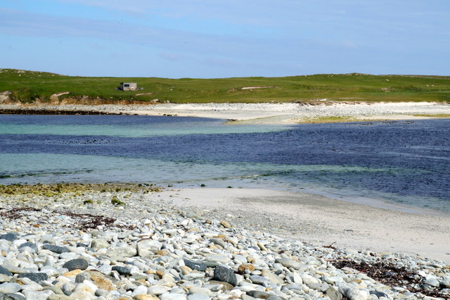
Access to Britta Geo is relatively easy, with a footpath leading to the headland from a nearby car park. The path offers stunning views along the way, making the journey as enjoyable as the destination itself. Whether it's for a leisurely walk, birdwatching, or simply taking in the awe-inspiring natural beauty, Britta Geo is a must-visit coastal feature in Shetland.
If you have any feedback on the listing, please let us know in the comments section below.
Britta Geo Images
Images are sourced within 2km of 60.734085/-0.82623698 or Grid Reference HP6406. Thanks to Geograph Open Source API. All images are credited.


Britta Geo is located at Grid Ref: HP6406 (Lat: 60.734085, Lng: -0.82623698)
Unitary Authority: Shetland Islands
Police Authority: Highlands and Islands
What 3 Words
///presume.summer.sprouting. Near Baltasound, Shetland Islands
Nearby Locations
Related Wikis

Huney
Huney is an uninhabited island due east of the island of Unst in the Shetland Islands, Scotland. The island is located approximately 1 kilometre south...

Unst Airport
Unst Airport also called Baltasound Airport is an unlicensed airfield near Baltasound, on the island of Unst, Shetland Islands, Scotland. The airfield...
Balta Sound
Balta Sound is a sound (inlet) on the east coast of the island of Unst in the Shetland Islands, Scotland. The sound is sheltered from the North Sea to...

Balta, Shetland
Balta (Scots: Balta; Old Norse: "Baltey") is an uninhabited island in Shetland, Scotland. == Geography == Balta lies off the east coast of Unst and Balta...

Baltasound
Baltasound (or Baltasund) is the largest settlement on the island of Unst in Shetland, Scotland. It comes from the Old Norse man's name Balti (Baltisund...
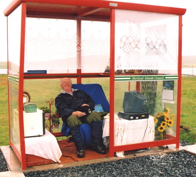
Unst Bus Shelter
The Unst Bus Shelter, also known as Bobby's Bus Shelter, is a bus shelter and bus stop near the village of Baltasound, on the isle of Unst, Shetland Islands...
Keen of Hamar
Keen of Hamar is a nature reserve on Unst, in Shetland, Scotland, managed by Scottish Natural Heritage. The reserve is primarily of botanical interest...

Unst
Unst (; Scots: Unst; Norn: Ønst) is one of the North Isles of the Shetland Islands, Scotland. It is the northernmost of the inhabited British Isles and...
Have you been to Britta Geo?
Leave your review of Britta Geo below (or comments, questions and feedback).