South Geo of Mel
Coastal Feature, Headland, Point in Shetland
Scotland
South Geo of Mel
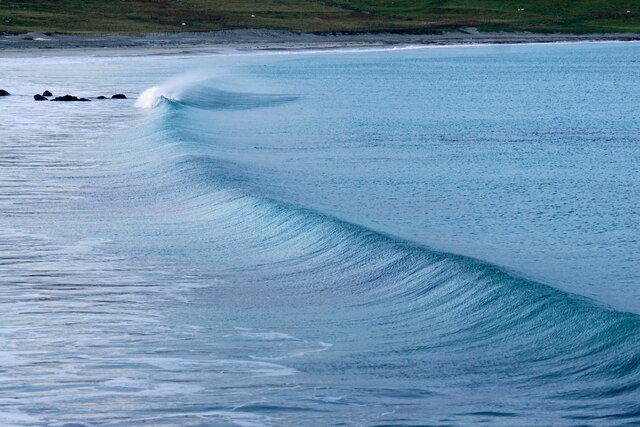
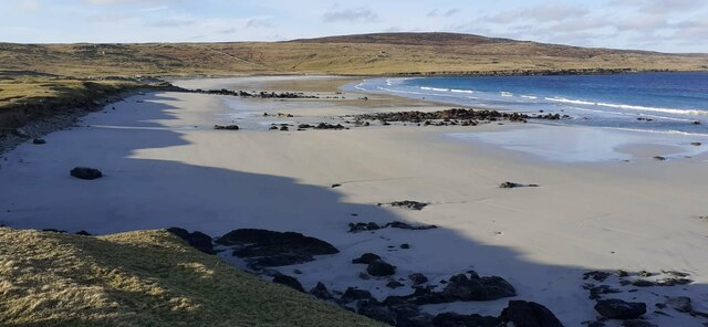
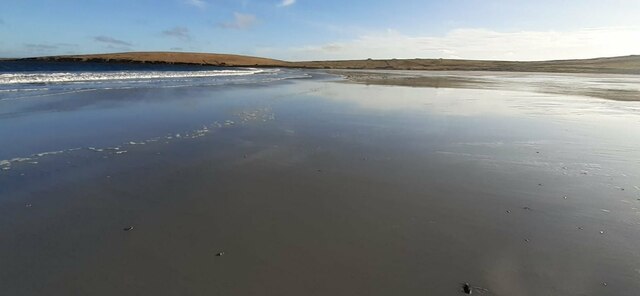
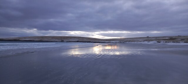
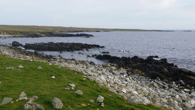
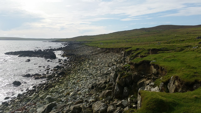
South Geo of Mel is a prominent coastal feature located in the Shetland Islands, off the northern coast of Scotland. It is a stunning headland that juts out into the North Sea, forming a distinct point along the rugged Shetland coastline. Situated near the village of Melby, South Geo of Mel is known for its striking cliffs and dramatic landscape.
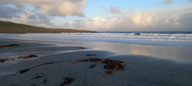
The headland is characterized by steep cliffs that rise vertically from the sea, reaching impressive heights of up to 100 meters in some areas. These cliffs are composed of layers of sedimentary rock, showcasing a variety of colors and textures, adding to the beauty of the surroundings. The rock formations have been shaped over millions of years by the relentless force of the crashing waves, resulting in unique features such as sea caves and natural arches.
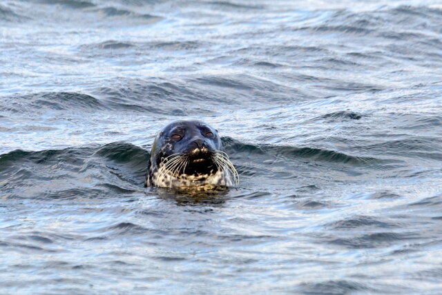
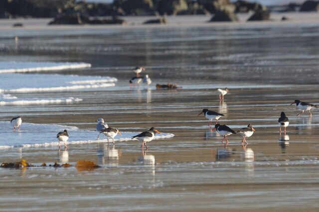
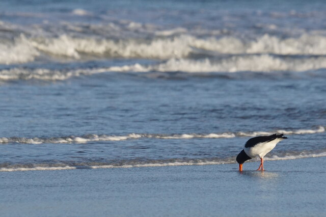
South Geo of Mel offers breathtaking panoramic views of the surrounding coastal scenery. On clear days, visitors can see the vast expanse of the North Sea, with distant views of other Shetland Islands dotting the horizon. The headland is also a prime spot for birdwatching, as it is home to a diverse range of seabirds, including puffins, guillemots, and razorbills. The area is designated as a Site of Special Scientific Interest (SSSI) due to its ecological importance.
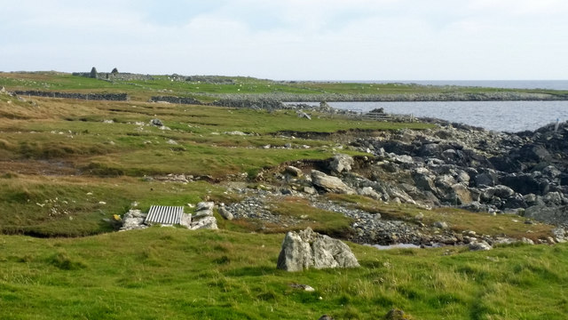
Access to South Geo of Mel is relatively easy, with a well-maintained footpath leading from the village of Melby to the headland. Despite its remote location, the site attracts a steady stream of visitors who come to admire its natural beauty and explore the rugged coastline.
If you have any feedback on the listing, please let us know in the comments section below.
South Geo of Mel Images
Images are sourced within 2km of 60.714785/-0.86005678 or Grid Reference HP6204. Thanks to Geograph Open Source API. All images are credited.
South Geo of Mel is located at Grid Ref: HP6204 (Lat: 60.714785, Lng: -0.86005678)
Unitary Authority: Shetland Islands
Police Authority: Highlands and Islands
What 3 Words
///scorch.pine.ghost. Near Uyeasound, Shetland Islands
Nearby Locations
Related Wikis

Muness Castle
Muness Castle is located on Unst, which is one of the Shetland Islands of Scotland. The castle is 3 kilometres (1.9 mi) east of the village of Uyeasound...

Mailand, Shetland
Mailand is a hamlet in the Shetland Islands. It is on the island of Unst, the northernmost of the inhabited British Isles, near its southern coast. �...

Huney
Huney is an uninhabited island due east of the island of Unst in the Shetland Islands, Scotland. The island is located approximately 1 kilometre south...

Unst Airport
Unst Airport also called Baltasound Airport is an unlicensed airfield near Baltasound, on the island of Unst, Shetland Islands, Scotland. The airfield...

Clivocast
Clivocast is a settlement on the island of Unst in the Shetland Islands, Scotland at 60.67°N 00.90°W / 60.67; -00.90 or grid reference HP6000 and is situated...
Unst
Unst (; Scots: Unst; Norn: Ønst) is one of the North Isles of the Shetland Islands, Scotland. It is the northernmost of the inhabited British Isles and...

1992 New Year's Day Storm
The New Year's Day Storm (Norwegian: Nyttårsorkanen), known in Scotland as the 'Hogmanay Hurricane', was an intense European windstorm that affected much...

Uyeasound
Uyeasound is a village on the Isle of Unst, the northernmost island of the Shetland Islands, Scotland. It takes its name from the neighbouring strait of...
Have you been to South Geo of Mel?
Leave your review of South Geo of Mel below (or comments, questions and feedback).