Blow Geo
Coastal Feature, Headland, Point in Shetland
Scotland
Blow Geo
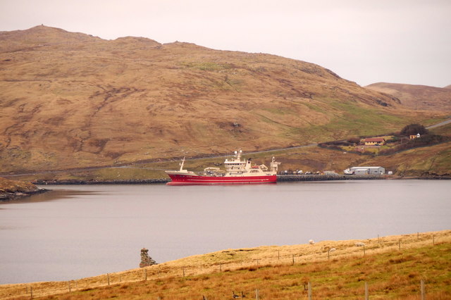
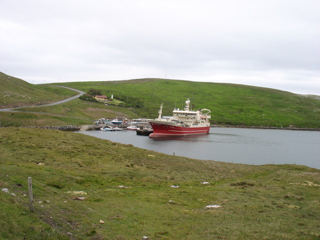
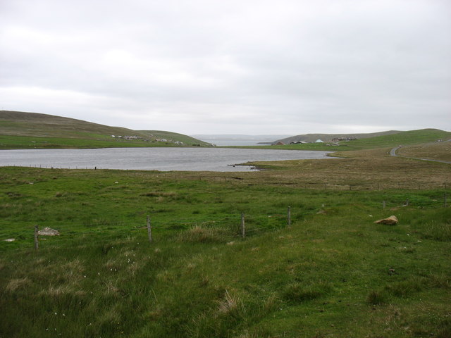
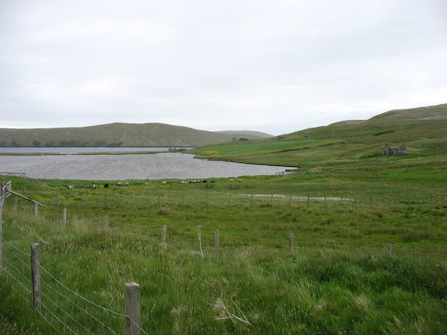
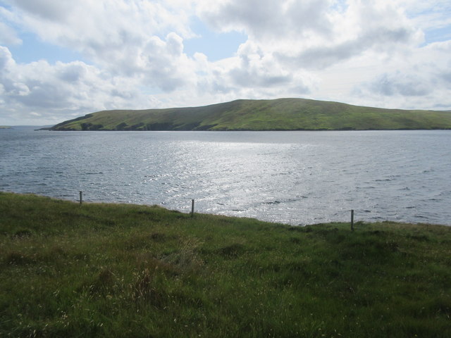
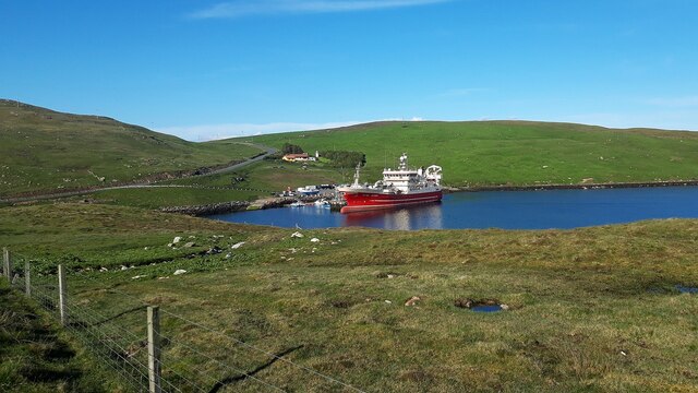
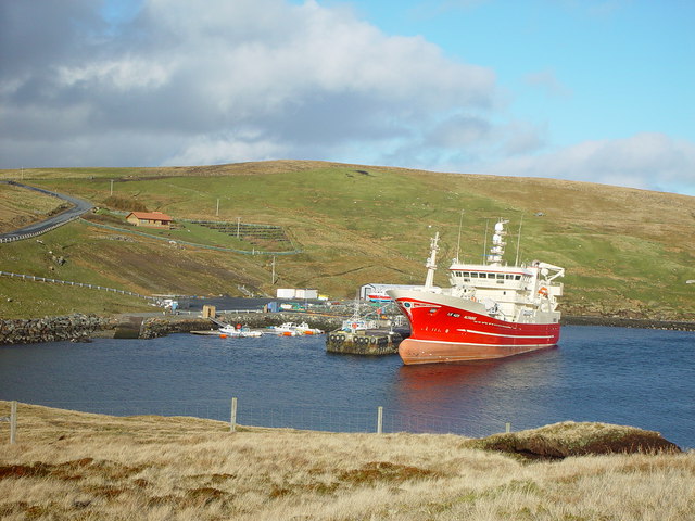
Blow Geo is a picturesque coastal feature located in Shetland, an archipelago in Scotland. It is primarily characterized as a headland or point, jutting out into the North Sea. The name "Blow Geo" is derived from the Old Norse language, where "Blow" means "blowhole" or "cave" and "Geo" refers to a narrow inlet or cove.
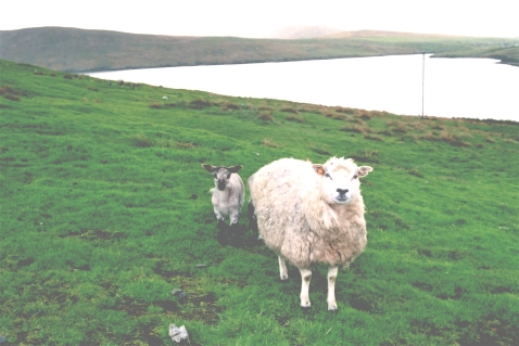
This stunning coastal formation is renowned for its unique geological features and dramatic beauty. Composed of rugged cliffs, Blow Geo offers breathtaking panoramic views of the surrounding ocean and the dramatic coastline. The headland is shaped by the relentless power of the sea, with the crashing waves sculpting the rocks and creating sea caves and blowholes.
Blow Geo also possesses significant cultural and historical value. It has been a prominent landmark for centuries, serving as a navigational aid for sailors and fishermen. The area is steeped in folklore and legends, with tales of ancient sea monsters and mythical creatures inhabiting the sea caves.
The headland is frequented by nature enthusiasts, hikers, and photographers who are drawn to its raw natural beauty. It offers an excellent vantage point for observing seabird colonies, including puffins, kittiwakes, and fulmars. The surrounding waters are also known for their rich marine life, attracting seals, dolphins, and occasionally, whales.
Blow Geo is an iconic coastal feature in Shetland, combining geological wonder, cultural significance, and natural splendor. It provides a captivating experience for visitors, where they can immerse themselves in the untamed beauty of the North Sea coastline.
If you have any feedback on the listing, please let us know in the comments section below.
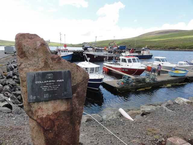
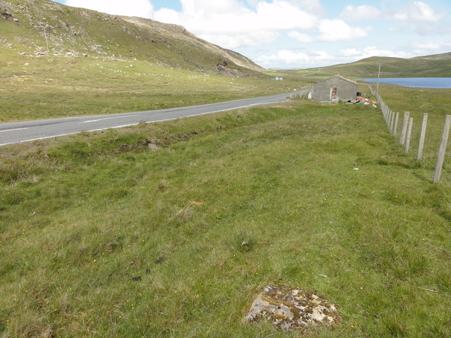
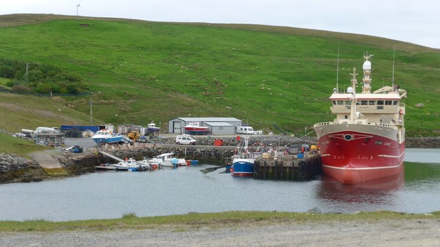
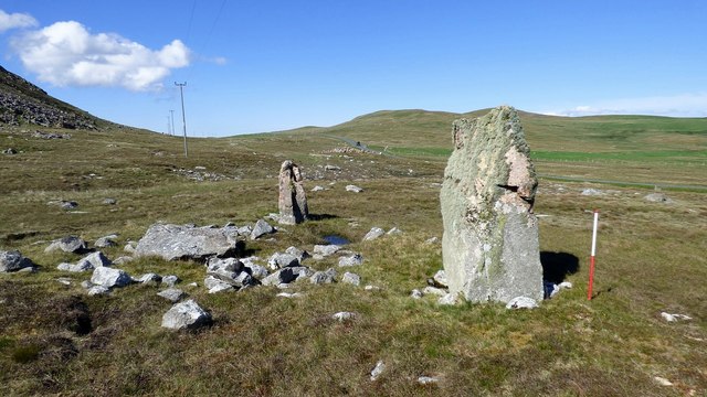
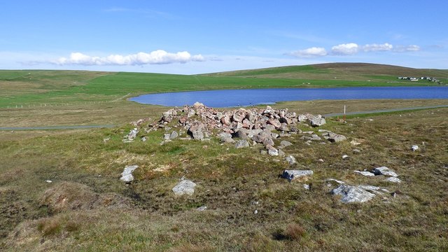
Blow Geo Images
Images are sourced within 2km of 60.541511/-1.3157956 or Grid Reference HU3784. Thanks to Geograph Open Source API. All images are credited.

Blow Geo is located at Grid Ref: HU3784 (Lat: 60.541511, Lng: -1.3157956)
Unitary Authority: Shetland Islands
Police Authority: Highlands and Islands
What 3 Words
///landmark.sofas.boating. Near Ulsta, Shetland Islands
Nearby Locations
Related Wikis

Lamba, Shetland
Lamba is an uninhabited island in Yell Sound in Shetland. It lies 1.5 km (0.93 mi) north of the entrance to the Sullom Voe inlet and 1.4 kilometres (0...

Little Holm, Yell Sound
Little Holm is a small island in Yell Sound, in Shetland, Scotland. It lies between Northmavine and the island of Yell. There is a lighthouse here. In...

Ollaberry
Ollaberry (Old Norse: Olafrsberg, meaning Olaf's Hill) is a village on Mainland, Shetland, Scotland on the west shore of Yell Sound, 10.9 miles (17.5 km...

Yell Sound
Yell Sound is the strait running between Yell and Mainland, Shetland, Scotland. It is the boundary between the Mainland and the North Isles and it contains...

Muckle Holm, Yell Sound
Muckle Holm is a small island in Shetland. It is in Yell Sound, near the Northmavine. It is 23 metres (75 ft) at its highest point. There is a lighthouse...

Voe, Northmavine
Voe is a settlement on the Northmavine peninsula of Mainland, Shetland, Scotland. It is at the head of Ronas Voe and just off the A970 road. == Whaling... ==

North Roe
North Roe is a village, and protected area at the northern tip in the large Northmavine peninsula of the Mainland of Shetland, Scotland. It is a small...

Little Roe
Little Roe is an island in Yell Sound in the Shetland Islands == History == The island's name is Norse in origin, from Rauðey Litla, meaning "small red...
Have you been to Blow Geo?
Leave your review of Blow Geo below (or comments, questions and feedback).