Builtie

Coastal Feature, Headland, Point in Shetland

Scotland

Builtie

A lost plane There was an explanation of how this plane got half way up the hill but it was so wet that I didn't read it.
A lost plane Credit: Graeme Smith

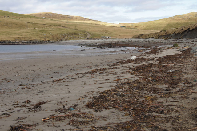
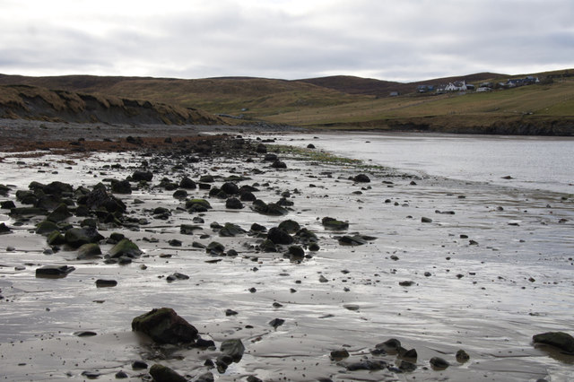
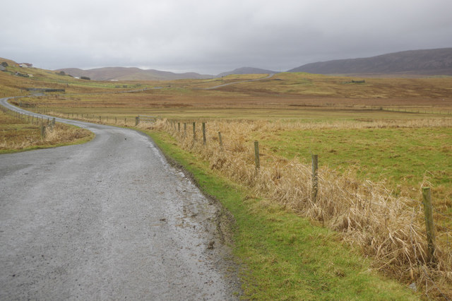
Builtie is a prominent coastal feature located on the island of Shetland, Scotland. Situated on the western coast of the island, it is classified as a headland or point due to its distinctive geographic formation. Builtie is characterized by its rugged cliffs, which rise sharply from the surrounding sea, creating an impressive and dramatic landscape.

The headland is composed mainly of sedimentary rocks, such as sandstone and shale, which have been shaped by the forces of erosion over millions of years. These geological formations give Builtie its unique appearance, with layers of rock clearly visible along the cliff faces.

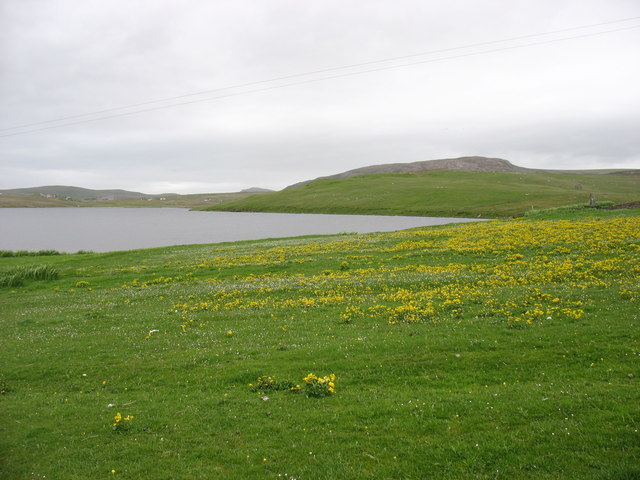
The area surrounding Builtie is known for its rich biodiversity. The cliffs provide nesting sites for various seabird species, including puffins, guillemots, and razorbills. Additionally, the rocky shorelines and nearby sea caves are home to a diverse range of marine life, including seals, dolphins, and even occasional sightings of orcas.

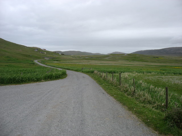
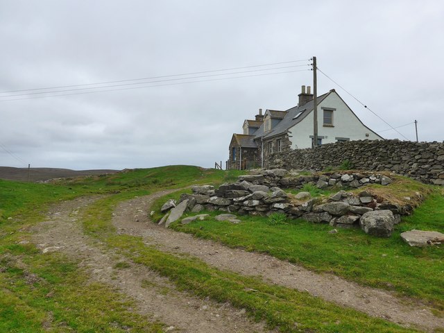
Access to Builtie is possible via a footpath that winds along the cliff tops, offering visitors breathtaking views of the surrounding coastline and the North Atlantic Ocean. The headland is a popular spot for hiking and birdwatching enthusiasts, who can enjoy the tranquility and natural beauty of the area.

Overall, Builtie is a notable coastal feature on the island of Shetland, renowned for its striking cliffs, diverse wildlife, and stunning vistas. It serves as a prime example of the rugged and picturesque landscapes that characterize the region.

If you have any feedback on the listing, please let us know in the comments section below.
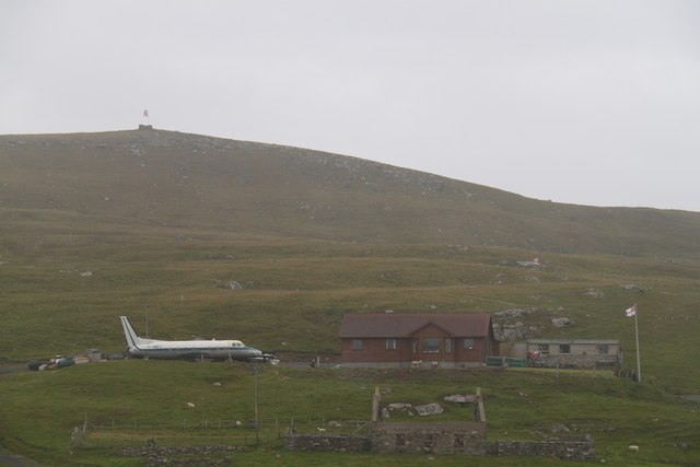
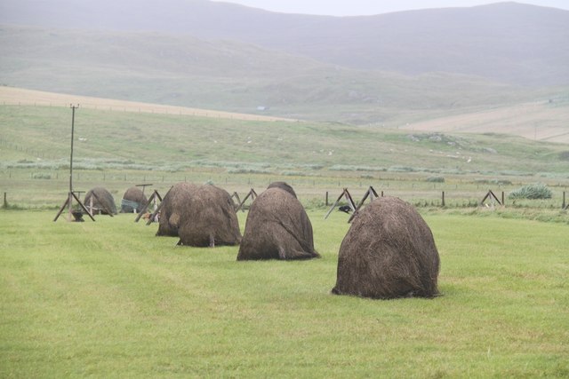
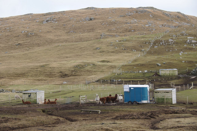
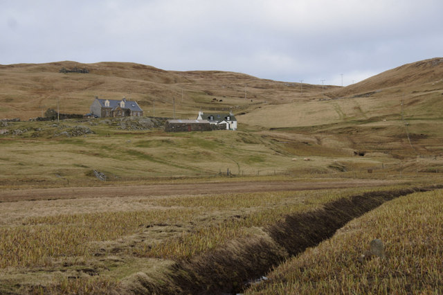
Builtie Images

Images are sourced within 2km of 60.583581/-1.3202906 or Grid Reference HU3789. Thanks to Geograph Open Source API. All images are credited.

A lost plane There was an explanation of how this plane got half way up the hill but it was so wet that I didn't read it.
A lost plane
There was an explanation of how this plane got half way up the hill but it was so wet that I didn't read it.
Traditional Haystacks Some good old fashioned haystacks at Isbister
Traditional Haystacks
Some good old fashioned haystacks at Isbister
Alpacas, Isbister, North Roe
Irisbeds, Isbister, North Roe
Beach at the head of Sand Voe, North Roe
Beach at the head of Sand Voe, North Roe Not it's sandiest aspect.
Beach at the head of Sand Voe, North Roe
Not it's sandiest aspect.
End Of The A970 Isbister is the end of the A970 and where we parked for our walk to Lanchestoo trig point.
End Of The A970
Isbister is the end of the A970 and where we parked for our walk to Lanchestoo trig point.
North Roe: alpacas The food tub has just been rattled and the alpacas respond as expected, making a bee-line for their owner. This is the only group of alpacas in Shetland; they have been here for four years, having been born in Hazelbury Bryan in Dorset. Some of the youngest in the picture are only a fortnight old.
North Roe: alpacas
The food tub has just been rattled and the alpacas respond as expected, making a bee-line for their owner. This is the only group of alpacas in Shetland; they have been here for four years, having been born in Hazelbury Bryan in Dorset. Some of the youngest in the picture are only a fortnight old.
The end of the road The A970 just comes to a dead stop here at Isbister. Looking south, for the first ten or a dozen miles it is "single track with passing places", but there is so little traffic that it is hardly a problem. After that, and all the way to Sumburgh <a href="https://www.geograph.org.uk/gridref/HU4009">HU4009</a>, 80km away, it is a splendid road, upgraded (like other main routes in the Shetland Islands) when the oil money was at its peak.

It is, of course, possible to walk further north for nearly 5 kilometres, to the Point of Fethaland (though I did not have time to do this). Only two inhabited islands, Yell and Unst, get even further north and into Myriad HP.
The end of the road
The A970 just comes to a dead stop here at Isbister. Looking south, for the first ten or a dozen miles it is "single track with passing places", but there is so little traffic that it is hardly a problem. After that, and all the way to Sumburgh HU4009, 80km away, it is a splendid road, upgraded (like other main routes in the Shetland Islands) when the oil money was at its peak. It is, of course, possible to walk further north for nearly 5 kilometres, to the Point of Fethaland (though I did not have time to do this). Only two inhabited islands, Yell and Unst, get even further north and into Myriad HP.
Shetland Potez This French 'Potez' plane crash-landed at Sumburgh in 1981, and was brought here, 80km north, to its final resting place. One has to wonder why anyone would wish to do this, but also admire the tenacity that he must have shown.

There is a descriptive plaque, which is just in the next square west. I have submitted a photo - see <a href="https://www.geograph.org.uk/photo/5023488">HU3690 : The "Shetland Potez" plaque</a>. It is of poor quality (the moderator must have been feeling generous), partly but not entirely because the plaque itself is in bad condition. However I submitted it because there was no other image on site, the plaque will continue to deteriorate, and with judicious zooming you can make out most of the story behind this extraordinary scene.
Shetland Potez
This French 'Potez' plane crash-landed at Sumburgh in 1981, and was brought here, 80km north, to its final resting place. One has to wonder why anyone would wish to do this, but also admire the tenacity that he must have shown. There is a descriptive plaque, which is just in the next square west. I have submitted a photo - see HU3690 : The "Shetland Potez" plaque. It is of poor quality (the moderator must have been feeling generous), partly but not entirely because the plaque itself is in bad condition. However I submitted it because there was no other image on site, the plaque will continue to deteriorate, and with judicious zooming you can make out most of the story behind this extraordinary scene.
The "Shetland Potez" plaque The "Shetland Potez" is a French plane which crash-landed at Sumburgh in 1981. The plane itself is in the next square east - see, for example, <a href="https://www.geograph.org.uk/photo/2076935">HU3790 : 'Plane Daft</a> or <a href="https://www.geograph.org.uk/photo/5023480">HU3790 : Shetland Potez</a>.

This is not a very clear photo, but I submitted it as there is nothing better on site, and the plaque itself is deteriorating. I think that, if you zoom in, most of the text can be read, though possibly with difficulty.

Above the plaque is a sign which reads "Land's End 747 miles". Well, Land's End is in <a href="https://www.geograph.org.uk/gridref/SW3425">SW3425</a>, and I make it 748 miles. But these things depend on your exact basis of calculation, and 747 is close enough - to say nothing of being a number with much more resonance to aircraft fans!
The "Shetland Potez" plaque
The "Shetland Potez" is a French plane which crash-landed at Sumburgh in 1981. The plane itself is in the next square east - see, for example, HU3790 : 'Plane Daft or HU3790 : Shetland Potez. This is not a very clear photo, but I submitted it as there is nothing better on site, and the plaque itself is deteriorating. I think that, if you zoom in, most of the text can be read, though possibly with difficulty. Above the plaque is a sign which reads "Land's End 747 miles". Well, Land's End is in SW3425, and I make it 748 miles. But these things depend on your exact basis of calculation, and 747 is close enough - to say nothing of being a number with much more resonance to aircraft fans!
The Loch of Flugarth Good flowers in the foreground.
The Loch of Flugarth
Good flowers in the foreground.
South from Isbister This is the extreme northern end of the A970, Shetland's principal road, the other end of which is at Grutness just south of Sumburgh Airport. Here it is little more than a track serving an isolated farmstead but over most of its length it is a well maintained fast road.
South from Isbister
This is the extreme northern end of the A970, Shetland's principal road, the other end of which is at Grutness just south of Sumburgh Airport. Here it is little more than a track serving an isolated farmstead but over most of its length it is a well maintained fast road.
Potez aircraft A Potez aircraft which has an interesting background, see: <span class="nowrap"><a title="http://forum.keypublishing.com/showthread.php?116949-The-Shetland-Potez" rel="nofollow ugc noopener" href="http://forum.keypublishing.com/showthread.php?116949-The-Shetland-Potez">Link</a><img style="margin-left:2px;" alt="External link" title="External link - shift click to open in new window" src="https://s1.geograph.org.uk/img/external.png" width="10" height="10"/></span>
Potez aircraft
A Potez aircraft which has an interesting background, see: LinkExternal link
The start of the road The most northerly point, and start of the A970 road.
The start of the road
The most northerly point, and start of the A970 road.
Road fork in Isbister
House at Houl
House at Houl
Boggy land at Isbister The view enhanced by a profusion of marsh marigolds.
Boggy land at Isbister
The view enhanced by a profusion of marsh marigolds.
Show me another place!

Builtie is located at Grid Ref: HU3789 (Lat: 60.583581, Lng: -1.3202906)

Unitary Authority: Shetland Islands

Police Authority: Highlands and Islands

What 3 Words

///underway.erupt.runners. Near Ulsta, Shetland Islands

Related Wikis

North Roe

North Roe is a village, and protected area at the northern tip in the large Northmavine peninsula of the Mainland of Shetland, Scotland. It is a small...

Muckle Holm, Yell Sound

Muckle Holm is a small island in Shetland. It is in Yell Sound, near the Northmavine. It is 23 metres (75 ft) at its highest point. There is a lighthouse...

Yell Sound

Yell Sound is the strait running between Yell and Mainland, Shetland, Scotland. It is the boundary between the Mainland and the North Isles and it contains...

Little Holm, Yell Sound

Little Holm is a small island in Yell Sound, in Shetland, Scotland. It lies between Northmavine and the island of Yell. There is a lighthouse here. In...

Fethaland

Fethaland or Fedeland (pronounced [ˈfeɪdələnd]) is an abandoned settlement at the extreme north end of Mainland, Shetland. It was the site of the largest...

Uyea, Northmavine

Uyea (Scots: Öya in Shetland dialect spelling) is an uninhabited tidal island located to the northwest of Mainland, Shetland. Uyea lies off the Northmavine...

Lamba, Shetland

Lamba is an uninhabited island in Yell Sound in Shetland. It lies 1.5 km (0.93 mi) north of the entrance to the Sullom Voe inlet and 1.4 kilometres (0...

Gruney

Gruney is a small, uninhabited island in Shetland, Scotland. It lies north of the Northmavine peninsula of the Shetland Mainland, from which it is separated...

Have you been to Builtie?

Leave your review of Builtie below (or comments, questions and feedback).