Cro Geo
Coastal Feature, Headland, Point in Shetland
Scotland
Cro Geo
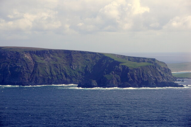
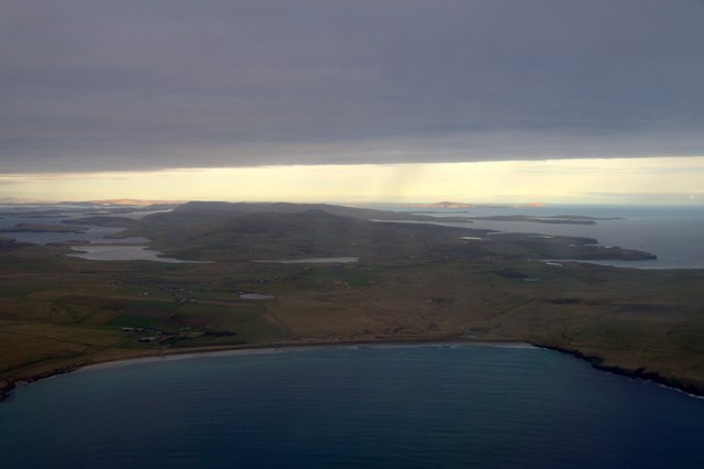
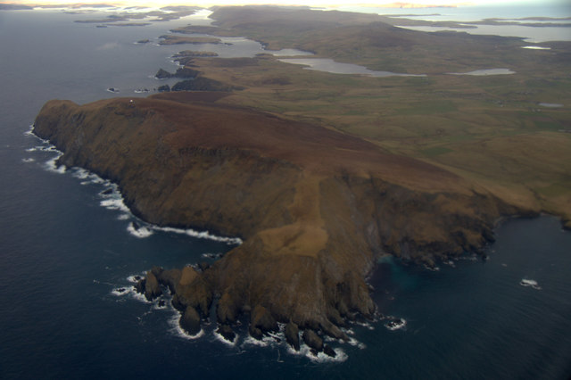
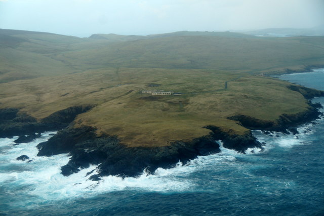
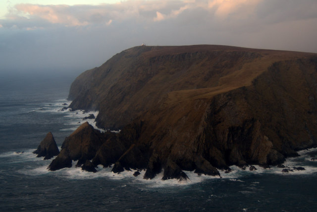
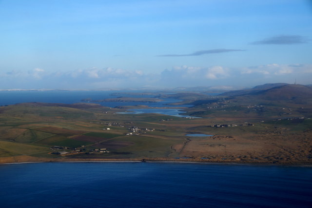
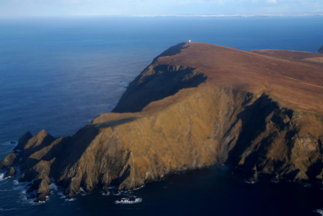
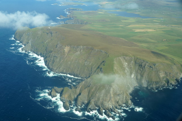
Cro Geo is a prominent coastal feature located in the Shetland Islands, an archipelago off the northeast coast of Scotland. It is a headland that juts out into the North Atlantic Ocean, forming a distinctive point along the rugged coastline of Shetland.
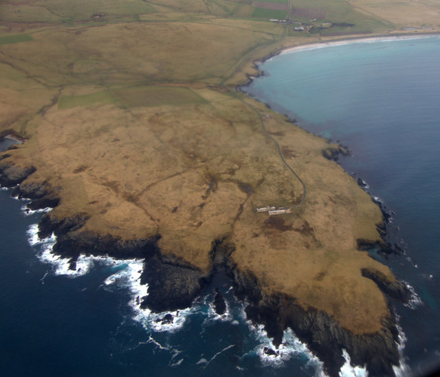
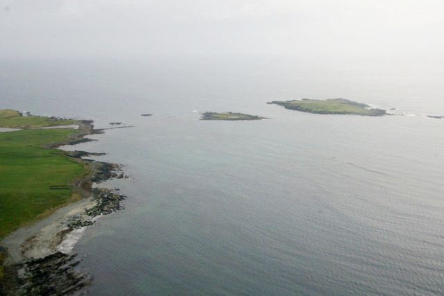
Situated on the western coast of the main island, Cro Geo offers breathtaking views of the surrounding landscape. The headland is characterized by steep cliffs that rise dramatically from the sea, creating a stunning backdrop against the crashing waves below. The cliffs are composed of rugged rock formations, with layers of sedimentary rock clearly visible.
Cro Geo is known for its rich biodiversity, with the area being home to a variety of marine and bird species. The surrounding waters provide an ideal habitat for seals, dolphins, and numerous bird species, including puffins and guillemots. This makes it a popular spot for wildlife enthusiasts and birdwatchers who flock to the area to observe the diverse range of fauna.
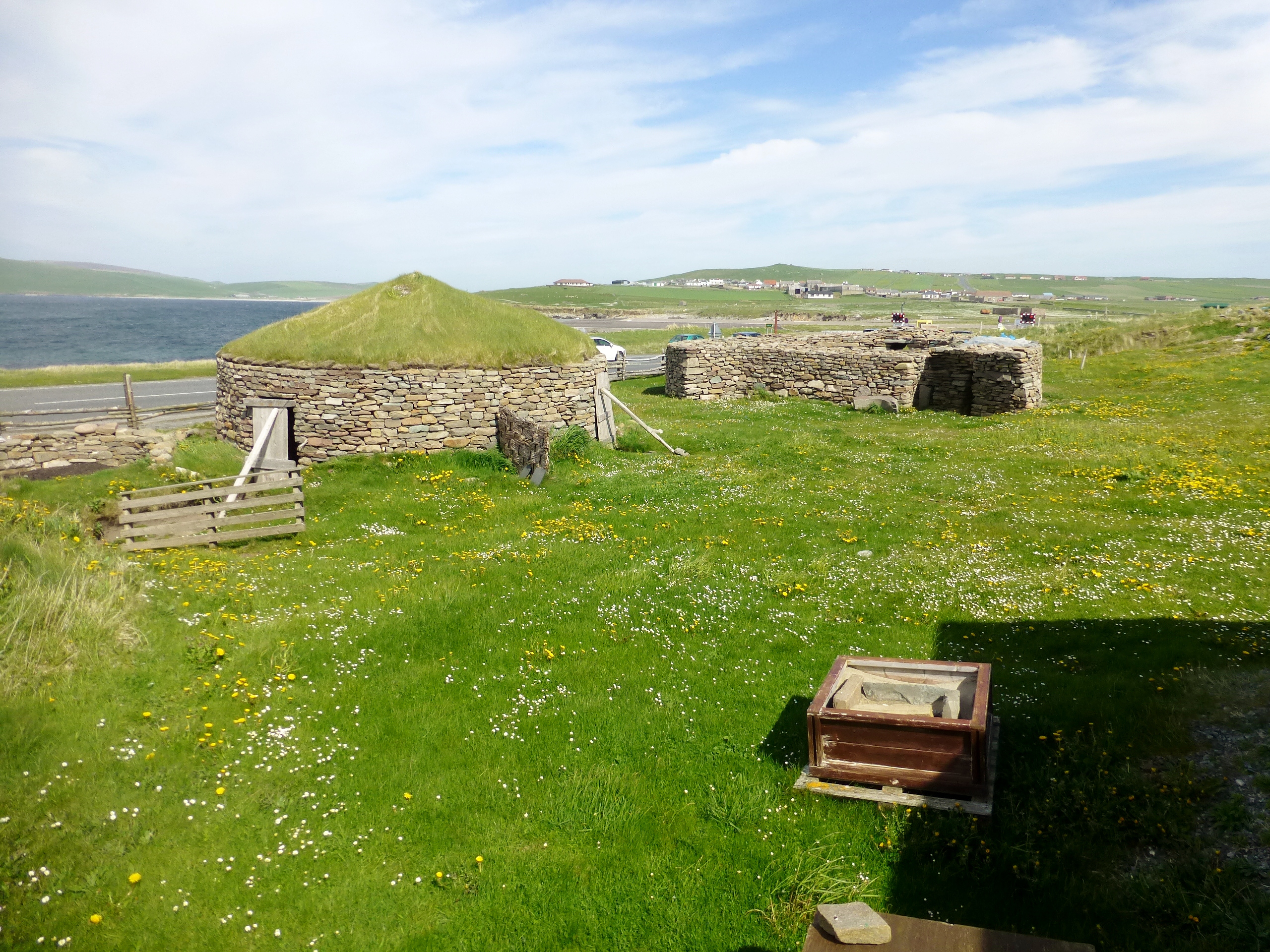
In addition to its natural beauty, Cro Geo also holds historical significance. The headland has remnants of ancient settlements, with archaeological sites indicating human occupation dating back thousands of years. These sites offer valuable insights into the island's past and provide a glimpse into the lives of its early inhabitants.
Overall, Cro Geo is a captivating coastal feature in the Shetland Islands, offering a blend of natural beauty, diverse wildlife, and historical significance. Whether it's exploring the rugged cliffs, observing marine life, or delving into ancient history, visitors to Cro Geo are sure to be enthralled by its unique charm.
If you have any feedback on the listing, please let us know in the comments section below.
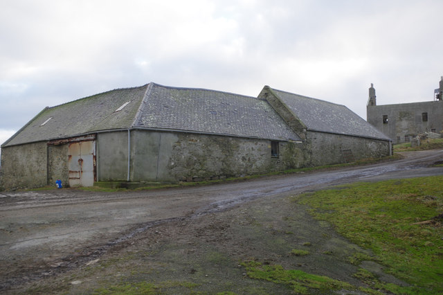
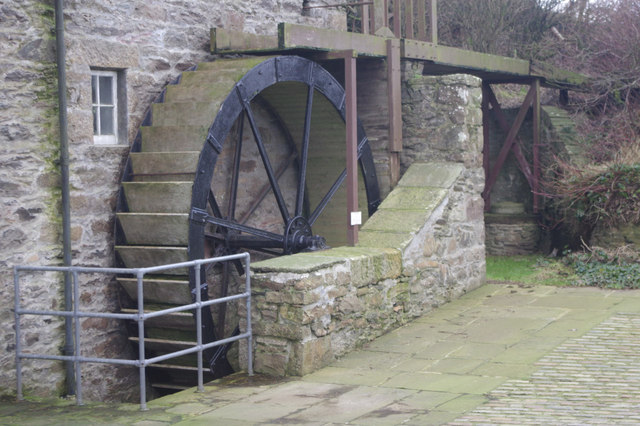
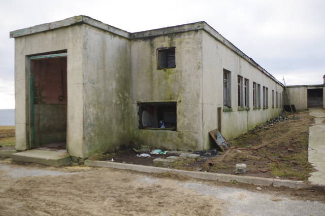
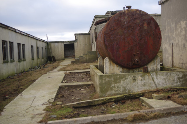
Cro Geo Images
Images are sourced within 2km of 59.887041/-1.3553752 or Grid Reference HU3611. Thanks to Geograph Open Source API. All images are credited.


Cro Geo is located at Grid Ref: HU3611 (Lat: 59.887041, Lng: -1.3553752)
Unitary Authority: Shetland Islands
Police Authority: Highlands and Islands
What 3 Words
///overlooks.compiled.students. Near Sumburgh, Shetland Islands
Nearby Locations
Related Wikis

MV Braer
The MV Braer was an oil tanker which ran aground during a storm off Shetland, Scotland, in January 1993, and nearly a week later broke up during the most...
Lady's Holm
Lady's Holm is an island off southern Mainland in the Shetland Islands. It is not to be confused with the Maiden Stack, which is also known as "Frau Stack...

Fitful Head
Fitful Head is a 283-metre-high (928 ft) headland at the southwest corner of Mainland, Shetland, Scotland, some 6 kilometres (3.7 mi) northwest of the...
Little Holm, Dunrossness
Little Holm is a small island to the west of South Mainland in Shetland. It is near Scatness and Lady's Holm. A trawler was wrecked there in 1916. ��2...

Toab, Shetland
Toab is the southernmost village on Mainland, Shetland, Scotland. It is part of Virkie and overlooks Sumburgh Airport. Toab is within the parish of Dunrossness...

Old Scatness
Old Scatness is an archeological site on Scat Ness, near the village of Scatness, in the parish of Dunrossness in the south end of Mainland, Shetland,...
Scatness
Scatness is a settlement on the headland of Scat Ness at the southern tip of Mainland, Shetland, Scotland, across the West Voe of Sumburgh from Sumburgh...
Virkie
Virkie is the most southerly district of Shetland, other than Fair Isle and is best defined as the area south of the Ward Hill in Dunrossness, also locally...
Have you been to Cro Geo?
Leave your review of Cro Geo below (or comments, questions and feedback).