Da Kame
Coastal Feature, Headland, Point in Shetland
Scotland
Da Kame

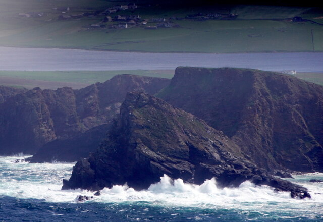
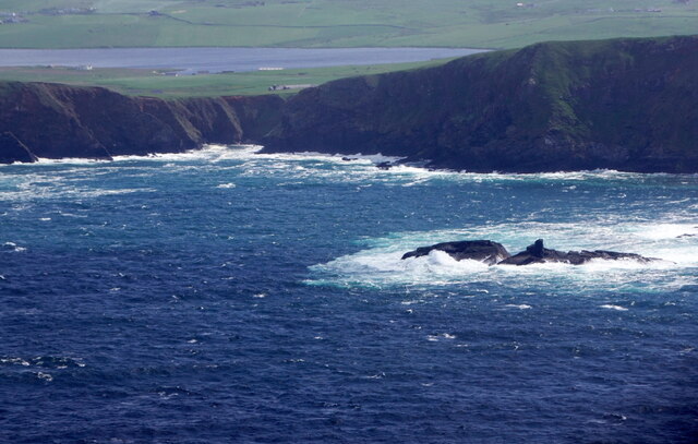
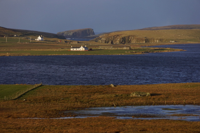
Da Kame is a prominent coastal feature located in Shetland, Scotland. It is known for being a stunning headland that juts out into the North Sea, offering breathtaking views of the surrounding landscape. The name "Da Kame" is derived from the Old Norse word "kambr," which means "comb" or "crest," likely referring to the shape and appearance of the headland.
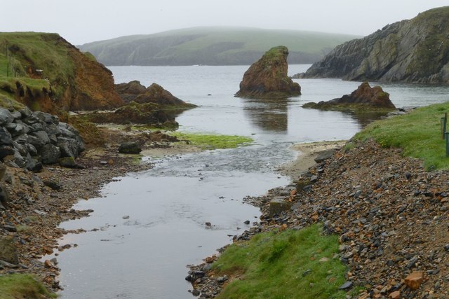
This coastal feature is characterized by its steep cliffs that rise dramatically from the sea, reaching heights of approximately 150 feet. The cliffs are composed of rugged rock formations, primarily consisting of sandstone, shale, and limestone. The geological composition of Da Kame provides a diverse habitat for various bird species, including seabirds such as puffins, fulmars, and kittiwakes, which nest on the cliffs.
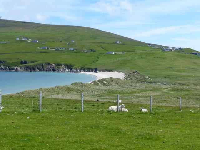
Da Kame is also home to a plethora of plant life, with hardy species clinging to the rocky outcrops. Mosses, lichens, and grasses can be found thriving in the crevices and ledges of the cliffs, adding to the visual appeal of the headland. The vegetation provides crucial protection against erosion, as it helps stabilize the soil and prevent the cliffs from crumbling into the sea.
Visitors to Da Kame can enjoy stunning panoramic views of the North Sea, as well as the adjacent coastline and surrounding islands. The headland offers an ideal vantage point for observing marine life, including seals, dolphins, and even whales, which occasionally pass by in the waters below.
Overall, Da Kame is a remarkable coastal feature, offering a captivating blend of dramatic cliffs, diverse flora and fauna, and breathtaking vistas. It is a must-visit destination for nature enthusiasts and those seeking to immerse themselves in Shetland's rugged and awe-inspiring coastal scenery.
If you have any feedback on the listing, please let us know in the comments section below.
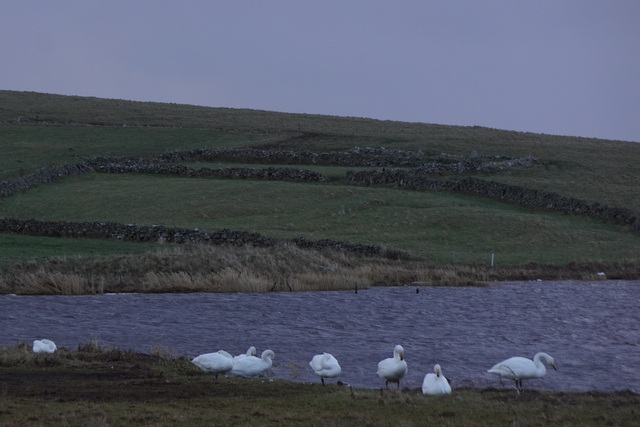
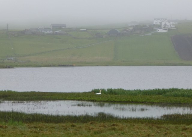
Da Kame Images
Images are sourced within 2km of 59.935254/-1.3652658 or Grid Reference HU3516. Thanks to Geograph Open Source API. All images are credited.


Da Kame is located at Grid Ref: HU3516 (Lat: 59.935254, Lng: -1.3652658)
Unitary Authority: Shetland Islands
Police Authority: Highlands and Islands
What 3 Words
///greet.dividers.stiff. Near Sumburgh, Shetland Islands
Nearby Locations
Related Wikis

Lochs of Spiggie and Brow
The Lochs of Spiggie and Brow are located west of Boddam in the parish of Dunrossness, in the South Mainland of Shetland, Scotland, about 6 km north of...

Colsay
Colsay is an uninhabited island off the South West coast of Mainland, Shetland. Fora Ness lies to the south, across the Muckle Sound. The highest elevation...

Scousburgh
Scousburgh is a small community in the parish of Dunrossness, in the South Mainland of Shetland, Scotland, overlooking the picturesque Scousburgh Sand...

Fitful Head
Fitful Head is a 283-metre-high (928 ft) headland at the southwest corner of Mainland, Shetland, Scotland, some 6 kilometres (3.7 mi) northwest of the...

Dunrossness
Dunrossness, (Old Norse: Dynrastarnes meaning "headland of the loud tide-race", referring to the noise of Sumburgh Roost) is the southernmost parish of...

St Ninian's Isle
St Ninian's Isle is a small tied island connected by the largest tombolo in the UK to the south-western coast of the Mainland, Shetland, in Scotland. It...

Boddam, Shetland
Boddam is a village on the island of Mainland, in Shetland, Scotland. Boddam is an area of Dunrossness in the South Mainland of Shetland. Although Boddam...

Bigton
Bigton is a small settlement on South Mainland, Shetland, UK. Bigton is within the civil parish of Dunrossness.Bigton lies on the Atlantic coast of the...
Nearby Amenities
Located within 500m of 59.935254,-1.3652658Have you been to Da Kame?
Leave your review of Da Kame below (or comments, questions and feedback).