Blue Geo
Coastal Feature, Headland, Point in Shetland
Scotland
Blue Geo
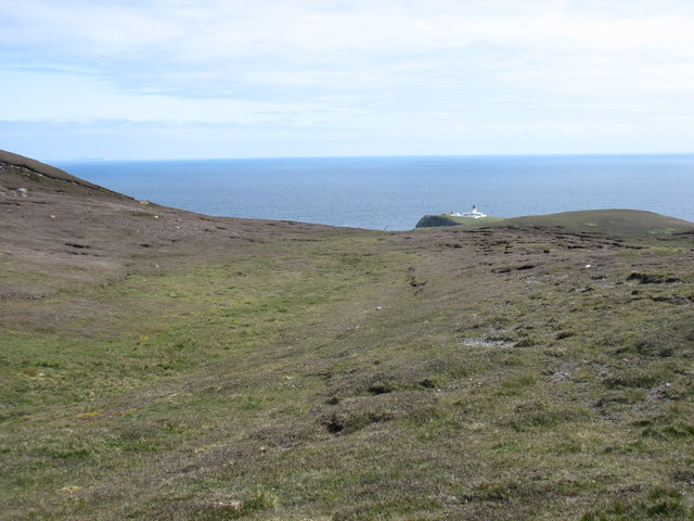
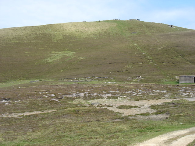
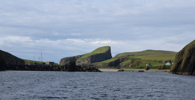
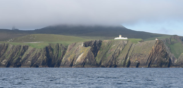
Blue Geo is a prominent coastal feature located on the Shetland Islands, Scotland. It is classified as a headland, also known as a point, and is situated on the northeastern coast of the island. Blue Geo is characterized by its rugged cliffs and rocky shoreline, which extends out into the North Sea.
The headland gets its name from the distinctive blue coloration of the water surrounding it. This phenomenon is caused by the interplay of sunlight and the unique composition of sediments and minerals in the area. The vibrant blue hue of the water against the contrasting backdrop of the cliffs creates a visually stunning and captivating scene.
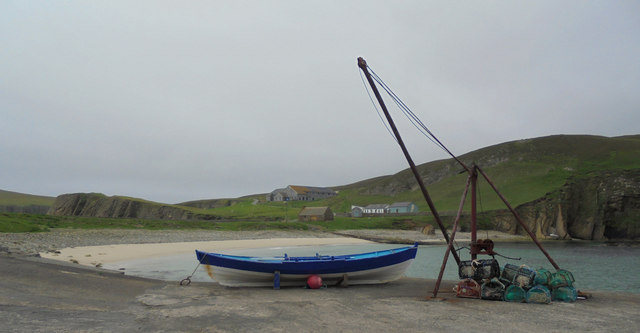
Blue Geo is known for its rich biodiversity and serves as an important habitat for various marine and avian species. The surrounding waters are home to a wide range of marine life, including seals, dolphins, and various species of fish. Birdwatchers flock to the headland to catch a glimpse of the numerous seabirds that nest along the cliffs, such as puffins, guillemots, and kittiwakes.
The headland also holds historical significance and has been inhabited by humans for centuries. Archaeological evidence suggests that Blue Geo was once used as a fishing and hunting site by early settlers. Today, it remains a popular destination for outdoor enthusiasts, offering breathtaking views, coastal walks, and opportunities for wildlife spotting.
Overall, Blue Geo is a fascinating and picturesque headland on the Shetland Islands, renowned for its striking blue waters, diverse wildlife, and historical importance.
If you have any feedback on the listing, please let us know in the comments section below.
Blue Geo Images
Images are sourced within 2km of 59.535116/-1.6002636 or Grid Reference HZ2272. Thanks to Geograph Open Source API. All images are credited.


Blue Geo is located at Grid Ref: HZ2272 (Lat: 59.535116, Lng: -1.6002636)
Unitary Authority: Shetland Islands
Police Authority: Highlands and Islands
What 3 Words
///wrenching.lined.blinks. Near Sumburgh, Shetland Islands
Nearby Locations
Related Wikis

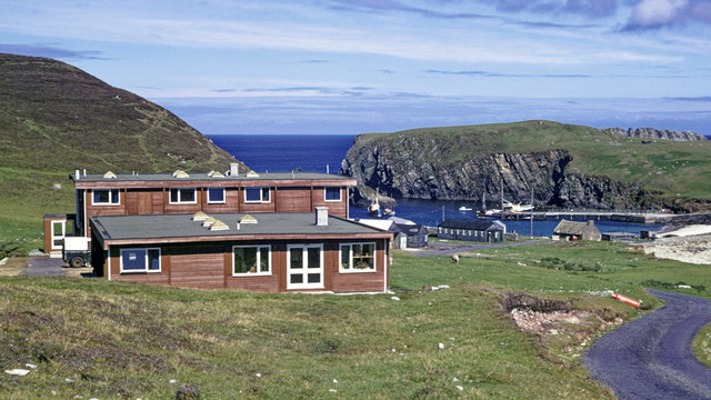
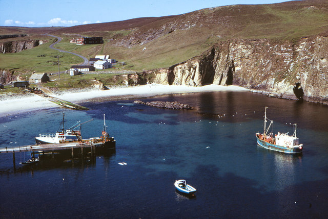
North Haven (harbour)
North Haven is a natural cove, developed in the 20th century as one of the primary ports of Fair Isle, an outlying island of the Shetland Isles in the...

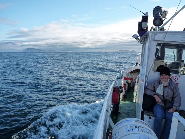
Fair Isle
Fair Isle (; Scots: Fair Isle; Old Norse: Friðarey; Scottish Gaelic: Fara), sometimes Fairisle, is the southernmost Shetland island, situated roughly 38km...

Fair Isle Airport
Fair Isle Airport (IATA: FIE, ICAO: EGEF), is a small airport located in Fair Isle, Shetland, Scotland. It is owned by the National Trust for Scotland...

Stroms Hellier
Stroms Hellier (Stroms Heelor) is a steep-sided rocky cove located off the Swartz Geo inlet on Fair Isle in the Scottish Shetland Islands.On 27 September...
Nearby Amenities
Located within 500m of 59.535116,-1.6002636Have you been to Blue Geo?
Leave your review of Blue Geo below (or comments, questions and feedback).