Skarvatong

Coastal Feature, Headland, Point in Shetland

Scotland

Skarvatong

Baggage handling at Foula airstrip Islanders' shopping from Lerwick is being offloaded whilst day visitors wait to load their bags for the return trip.
Baggage handling at Foula airstrip Credit: Lis Burke

Skarvatong is a prominent coastal feature located in the Shetland Islands, an archipelago situated off the northeastern coast of Scotland. It is classified as a headland or a point, jutting out into the North Sea. Skarvatong is geographically positioned on the eastern side of Shetland, specifically on the island of Unst, which is the northernmost inhabited island in the United Kingdom.

The headland is characterized by its rugged and dramatic cliffs, reaching impressive heights that provide breathtaking panoramic views of the surrounding landscape. These cliffs are composed of ancient rock formations, showcasing layers of sedimentary rocks that have been shaped and sculpted by centuries of erosion from the relentless waves and winds of the North Sea.

Skarvatong offers a diverse range of flora and fauna, with seabird colonies nesting along its cliffs, including puffins, guillemots, and razorbills. The surrounding waters are also rich in marine life, making it a popular spot for fishing and wildlife enthusiasts.

The headland is accessible to visitors via a network of coastal paths and trails, allowing them to explore its rugged beauty up close. It is worth noting that caution must be exercised when navigating the cliffs, as they can be steep and unstable in some areas.

Skarvatong is not only a stunning coastal landmark but also holds historical significance. It was once home to a thriving Viking settlement, evidenced by the presence of ancient ruins and archeological finds. These remnants serve as a testament to the island's rich cultural heritage and provide an intriguing glimpse into the past.

In conclusion, Skarvatong in Shetland is an awe-inspiring headland or point that showcases the raw beauty of the Scottish coastline. With its striking cliffs, diverse wildlife, and historical significance, it is a must-visit destination for nature lovers and history enthusiasts alike.

If you have any feedback on the listing, please let us know in the comments section below.
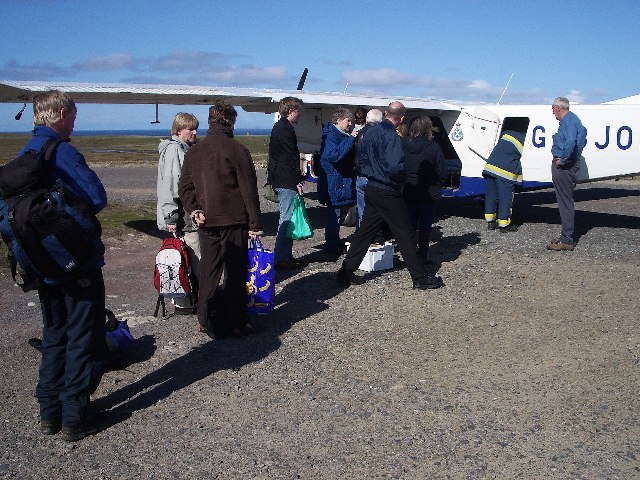
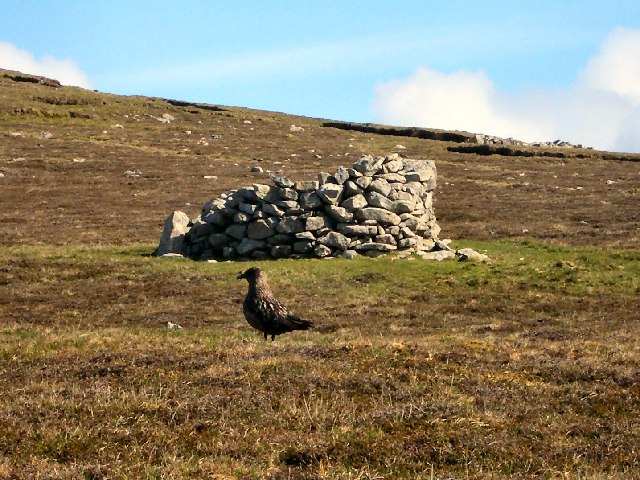
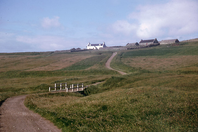
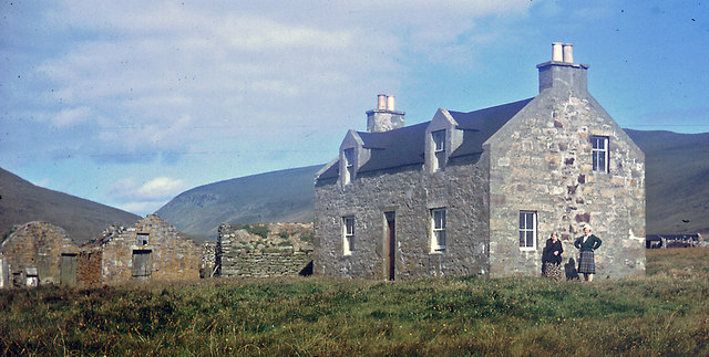
Skarvatong Images

Images are sourced within 2km of 60.111892/-2.0605177 or Grid Reference HT9636. Thanks to Geograph Open Source API. All images are credited.

Baggage handling at Foula airstrip Islanders' shopping from Lerwick is being offloaded whilst day visitors wait to load their bags for the return trip.
Baggage handling at Foula airstrip
Islanders' shopping from Lerwick is being offloaded whilst day visitors wait to load their bags for the return trip.
Plantiecrub on Foula Plantiecrubs were used by crofters to keep their kale and cabbage seedlings safe from grazing by livestock. The bird in the foreground is a bonxie (great skua).
Plantiecrub on Foula
Plantiecrubs were used by crofters to keep their kale and cabbage seedlings safe from grazing by livestock. The bird in the foreground is a bonxie (great skua).
Approaching Foula Taken from the Islander plane as it came in to land, this is a view across one square of the southern promontory. The houses in the distance are at the southern end of the island road with Da Noup beyond them.
Approaching Foula
Taken from the Islander plane as it came in to land, this is a view across one square of the southern promontory. The houses in the distance are at the southern end of the island road with Da Noup beyond them.
The Noup, Foula Taken from the cliffs at the end of the valley of Da Smaalie.
The Noup, Foula
Taken from the cliffs at the end of the valley of Da Smaalie.
Severe Gale in Hellabriks Wick The gale delayed the islanders' mail boat for a week and extended my visit to Foula. See <a href="https://www.geograph.org.uk/photo/3558525">HT9636 : Coastal View Towards Lighthouse, Foula</a> for a similar view in better weather after the installation of the lighthouse on Da Sooth Ness.
Severe Gale in Hellabriks Wick
The gale delayed the islanders' mail boat for a week and extended my visit to Foula. See HT9636 : Coastal View Towards Lighthouse, Foula for a similar view in better weather after the installation of the lighthouse on Da Sooth Ness.
The road to Biggings 1964 This was the last stretch of the road that led south from Ham
The road to Biggings 1964
This was the last stretch of the road that led south from Ham
Punds 1964 The Isbister sisters were living in Punds in 1964.  Their father had built the house one winter when the laird was away and against the wishes of the laird.  I believe that this was the first one and a half storey house on Foula other than the home of the laird.
Punds 1964
The Isbister sisters were living in Punds in 1964. Their father had built the house one winter when the laird was away and against the wishes of the laird. I believe that this was the first one and a half storey house on Foula other than the home of the laird.
Foula aerodrome One of Directflight's Islanders lands at Foula from Lerwick (Tingwall). 
Foula means "fowl island". After St.Kilda was evacuated in 1930, Foula took over the dubious honour of being Britain's most remote inhabited island. It was the location for the film "The Edge of the World".
Foula aerodrome
One of Directflight's Islanders lands at Foula from Lerwick (Tingwall). Foula means "fowl island". After St.Kilda was evacuated in 1930, Foula took over the dubious honour of being Britain's most remote inhabited island. It was the location for the film "The Edge of the World".
The Noup [Da Noup] First hill of the day with Tricky Speirs after a flight from Tingwall.  View towards a cloud covered The Sneug [Da Sneug].
Name: The Noup [Da Noup]
Hill number: 1536
Height: 248m / 814ft
Area: 22: Shetland Islands
Class: Ma
Grid ref: HT 95445 37514
Summit feature: no feature: grass
Drop: 179m
Col: 69m  HT951380
The Noup [Da Noup]
First hill of the day with Tricky Speirs after a flight from Tingwall. View towards a cloud covered The Sneug [Da Sneug]. Name: The Noup [Da Noup] Hill number: 1536 Height: 248m / 814ft Area: 22: Shetland Islands Class: Ma Grid ref: HT 95445 37514 Summit feature: no feature: grass Drop: 179m Col: 69m HT951380
Road from Biggins Northwards from near the southern end of the Foula road.
Road from Biggins
Northwards from near the southern end of the Foula road.
Road To Da Biggins A lovely view on a lovely day to visit Foula.
Road To Da Biggins
A lovely view on a lovely day to visit Foula.
Coastal View Towards Lighthouse, Foula After passing Da Biggins we headed for the cliff line and a view down it towards the lighthouse before heading uphill towards our first Marilyn of the day, The Noup.
Coastal View Towards Lighthouse, Foula
After passing Da Biggins we headed for the cliff line and a view down it towards the lighthouse before heading uphill towards our first Marilyn of the day, The Noup.
Foula Chapel The small chapel in Foula, also known as the "Baxter Chapel", is now owned by the National Mission.
Formerly it was a Congregational Church, built in the end of the 19th century. The money was given in memory of an ardent Congregationalist, Dr. William Baxter, by his two sisters.
The Haldane movement led to the Congregational Church in Foula being founded in 1817, preachers by the name of Kerr and Alexander visited the isle, and among the islanders impressed by their work was Laurence Christie who became the first Congregational Minister. Their original meeting place is not recorded, but is thought to have been a building that had previously been a dwelling house, and then a school. As the congregation grew a small Chapel was built on the Ayre of Ham, which in turn, when it also became too small, was replaced by the current chapel. Despite having a significant following during the 19th Century, the Congregational Church had withdrawn from the isle by the first quarter of the 20th Century.
Until 1990, when the last one left, Foula had a missionary/teacher. After a successful petition from the islanders to the General Assembly for a compensation for their loss, the National Mission pays for six trips to Foula by the minister every year.
Foula Chapel
The small chapel in Foula, also known as the "Baxter Chapel", is now owned by the National Mission. Formerly it was a Congregational Church, built in the end of the 19th century. The money was given in memory of an ardent Congregationalist, Dr. William Baxter, by his two sisters. The Haldane movement led to the Congregational Church in Foula being founded in 1817, preachers by the name of Kerr and Alexander visited the isle, and among the islanders impressed by their work was Laurence Christie who became the first Congregational Minister. Their original meeting place is not recorded, but is thought to have been a building that had previously been a dwelling house, and then a school. As the congregation grew a small Chapel was built on the Ayre of Ham, which in turn, when it also became too small, was replaced by the current chapel. Despite having a significant following during the 19th Century, the Congregational Church had withdrawn from the isle by the first quarter of the 20th Century. Until 1990, when the last one left, Foula had a missionary/teacher. After a successful petition from the islanders to the General Assembly for a compensation for their loss, the National Mission pays for six trips to Foula by the minister every year.
G-SICB Landing At Foula Our plane for the return flight lands safely on Foula.  We received a great service from Directflight for our Tingwall to Foula flight plus return, thank you.
G-SICB Landing At Foula
Our plane for the return flight lands safely on Foula. We received a great service from Directflight for our Tingwall to Foula flight plus return, thank you.
Foula WW I War Memorial Foula World War I Memorial is located on Durga Ness, immediately south of Ham Little. It was designed by the laird Ian B. S. Holbourn and was erected by local labour.
Inscribed on it are the names of the fallen from the isle, taken from a then population of 135.
Foula WW I War Memorial
Foula World War I Memorial is located on Durga Ness, immediately south of Ham Little. It was designed by the laird Ian B. S. Holbourn and was erected by local labour. Inscribed on it are the names of the fallen from the isle, taken from a then population of 135.
Da Noup The summit area.
Da Noup
The summit area.
South coast of Foula On the descent from Da Noup, looking towards the lighthouse.
South coast of Foula
On the descent from Da Noup, looking towards the lighthouse.
Da Nab Sandstone crag on the south coast of Foula.
Da Nab
Sandstone crag on the south coast of Foula.
Show me another place!

Skarvatong is located at Grid Ref: HT9636 (Lat: 60.111892, Lng: -2.0605177)

Unitary Authority: Shetland Islands

Police Authority: Highlands and Islands

What 3 Words

///suffer.discount.conqueror. Near Walls, Shetland Islands

Related Wikis

Foula Airfield

Foula Airfield (IATA: FOA) is an airfield located on the remote island of Foula, part of the Shetland Islands in the north of Scotland. == History == The...

Foula

Foula (), located in the Shetland archipelago of Scotland, is one of the United Kingdom's most remote permanently inhabited islands. Owned since the turn...

RMS Oceanic (1899)

RMS Oceanic was a transatlantic ocean liner built for the White Star Line. She sailed on her maiden voyage on 6 September 1899 and was the largest ship...

Nearby Amenities

Located within 500m of 60.111892,-2.0605177
Man Made: mast
Lat/Long: 60.114033/-2.061361
Seamark Light Character: Fl
Seamark Light Colour: white
Seamark Light Group: 3
Seamark Light Height: 36
Seamark Light Period: 15
Seamark Light Range: 18
Seamark Light Reference: A 3860
Seamark Light Sequence: 0.2+(2.7)+0.2+(2.7)+0.2+(9)
Seamark Name: South Ness
Seamark Type: light_major
Source: US NGA Pub. 114. 2011-05-26.
Wikidata: Q28874338
Lat/Long: 60.1124095/-2.0639425
Man Made: mast
Lat/Long: 60.1146985/-2.0614174
Man Made: mast
Lat/Long: 60.1144125/-2.0601783
South Ness
Place: locality
Lat/Long: 60.1113671/-2.0642307
The data included in this document is from www.openstreetmap.org. The data is made available under ODbL.

Have you been to Skarvatong?

Leave your review of Skarvatong below (or comments, questions and feedback).