Point of Hisber
Coastal Feature, Headland, Point in Orkney
Scotland
Point of Hisber
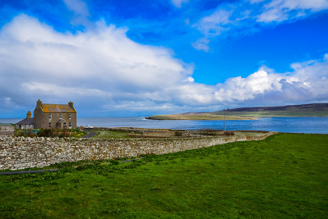
Point of Hisber is a prominent coastal feature located on the northeastern coast of Mainland, the largest island in the Orkney archipelago, Scotland. It is classified as a headland due to its distinctive jutting shape into the North Sea. This geographical formation is situated approximately 6 kilometers northeast of the town of Kirkwall.
The Point of Hisber boasts stunning natural beauty and offers breathtaking views of the surrounding coastline. It is characterized by rugged cliffs that rise steeply from the sea, reaching heights of up to 30 meters. These cliffs are composed of sedimentary rock formations, displaying layers of sandstone and conglomerate, shaped over millions of years by the erosive forces of wind and water.
The headland serves as an important landmark for maritime navigation, guiding ships through the treacherous waters of the Pentland Firth. Its strategic location also offers panoramic vistas of nearby islands, such as Shapinsay and Stronsay, as well as distant views of the Scottish mainland.
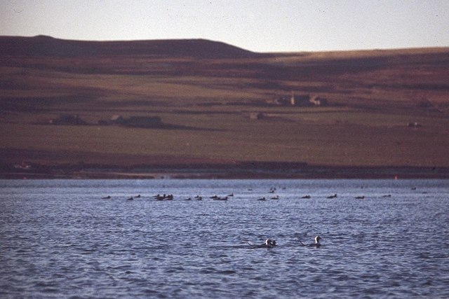
The Point of Hisber is renowned for its rich biodiversity, supporting a variety of seabird colonies. Species such as fulmars, guillemots, razorbills, and puffins can be observed nesting on the cliffs during the breeding season. The surrounding waters are also home to seals and dolphins, providing visitors with a chance to witness these marine mammals in their natural habitat.
Access to the Point of Hisber is facilitated by a coastal path that winds its way along the clifftops, providing visitors with an opportunity to explore the area's natural wonders. The site is a popular destination for hikers, wildlife enthusiasts, and photographers, who are drawn to its stunning landscapes and abundant wildlife.
If you have any feedback on the listing, please let us know in the comments section below.
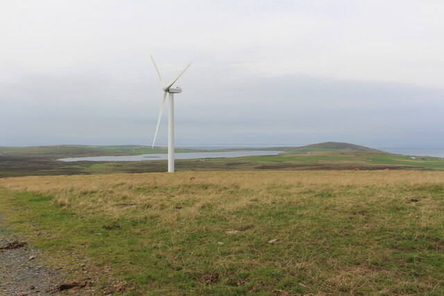
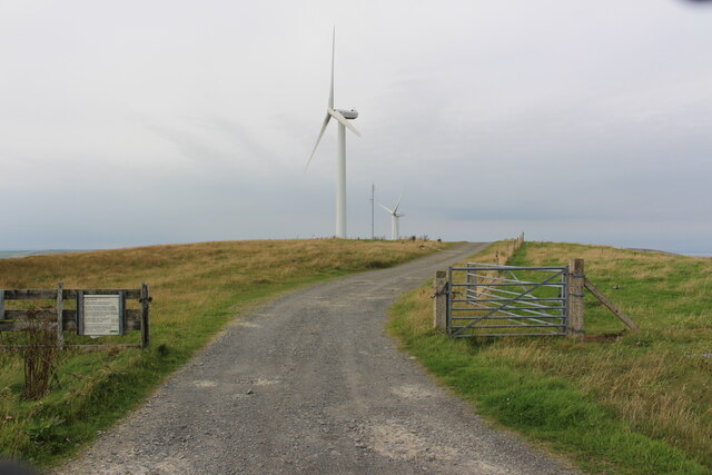
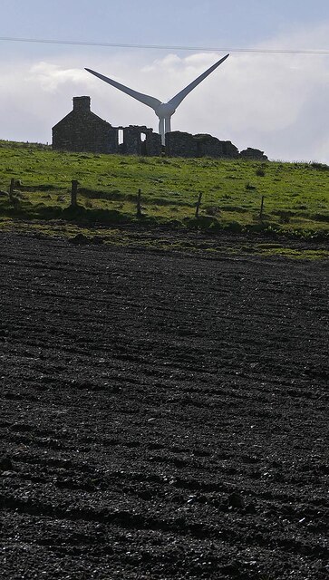
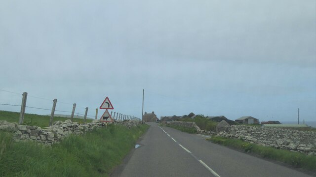
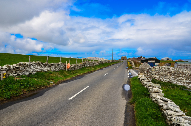
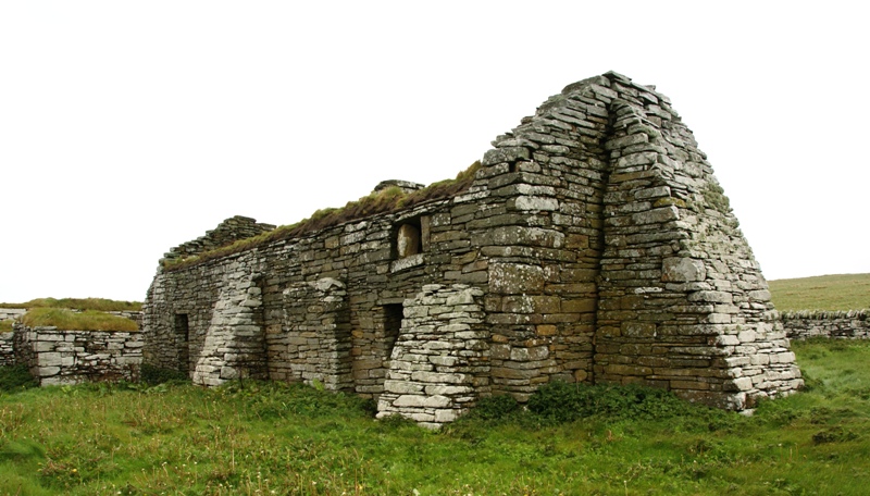
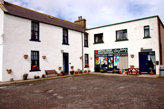
Point of Hisber Images
Images are sourced within 2km of 59.131929/-3.1351598 or Grid Reference HY3527. Thanks to Geograph Open Source API. All images are credited.


Point of Hisber is located at Grid Ref: HY3527 (Lat: 59.131929, Lng: -3.1351598)
Unitary Authority: Orkney Islands
Police Authority: Highlands and Islands
What 3 Words
///discloses.campfires.poker. Near Evie, Orkney Islands
Nearby Locations
Related Wikis
Eynhallow Church
Eynhallow Church is a ruined medieval church located on the uninhabited island of Eynhallow in Orkney, Scotland. The church dates back to the 12th-century...

Eynhallow
Eynhallow (Scots: Eynhallow; Old Norse: Eyinhelga; Norn: Øjinhellig) is a small, presently uninhabited island, part of Orkney, off the north coast of mainland...
Evie, Orkney
Evie (pronounced ) is a parish and village on Mainland, Orkney, Scotland. The parish is located in the north-west of the Mainland, between Birsay and Rendall...

Aikerness Bay
Aikerness Bay is an embayment of Eynhallow Sound on the northwest coast of Mainland Orkney, Scotland. The headlands of Point of Hellia at the east and...

Sands of Evie
The Sands of Evie is a sandy beach landform near the village of Evie on Mainland Orkney, Scotland, protected by the Point of Hellia headland. This beach...

Point of Hellia
The Point of Hellia is a headland on the northwest coast of the Orkney Mainland, Scotland. This landform extends into the southern part of Eynhallow Sound...

Knowe of Swandro
The Knowe of Swandro is an archaeological site located on the Bay of Swandro on Rousay in Orkney, Scotland. The site consists of a 5000-year-old Neolithic...
Eynhallow Sound
Eynhallow Sound is a seaway lying between Mainland Orkney and the island of Rousay in the Orkney Islands, Scotland. The tidal indraught is "scarcely felt...
Nearby Amenities
Located within 500m of 59.131929,-3.1351598Have you been to Point of Hisber?
Leave your review of Point of Hisber below (or comments, questions and feedback).