Neebasa
Coastal Feature, Headland, Point in Orkney
Scotland
Neebasa
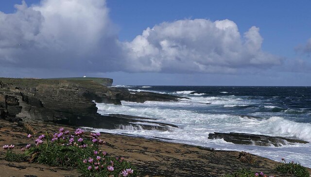
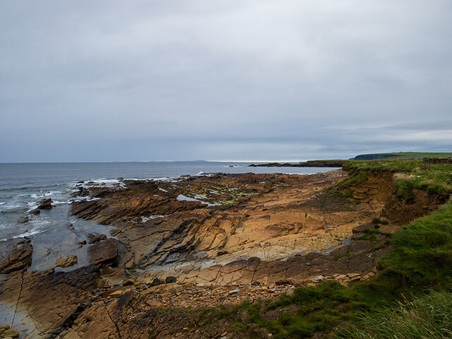
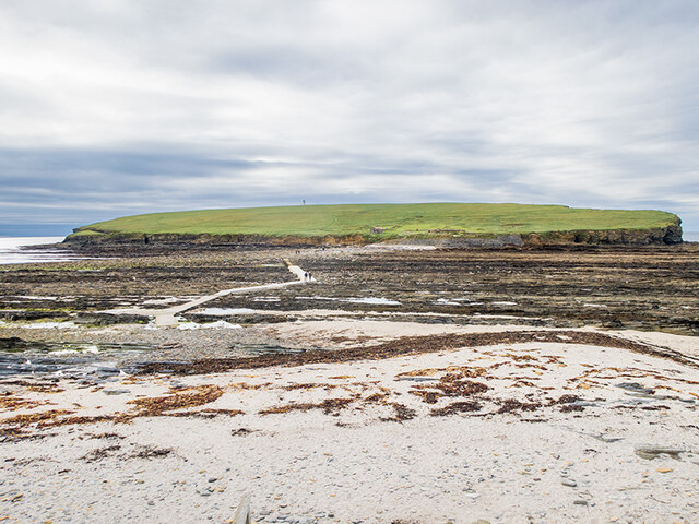
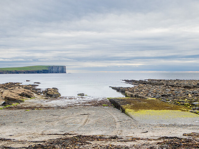
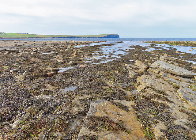
Neebasa is a prominent coastal feature located in Orkney, a group of islands situated off the northeastern coast of Scotland. It is a headland that extends into the North Sea, forming a distinctive point along the coastline. Neebasa is known for its rugged and dramatic cliffs, which rise steeply from the sea, offering breathtaking views of the surrounding landscape.
Standing at an elevation of approximately 50 meters, Neebasa provides a vantage point for observing the vast expanse of the sea and the wildlife that inhabits the area. The headland is home to a diverse range of seabirds, including puffins, guillemots, and razorbills, which nest in the cliffs during the breeding season.
The cliffs of Neebasa are composed of layers of sedimentary rock, showcasing a fascinating geological history. The exposed rock formations display a variety of colors, ranging from shades of gray to reddish-brown, reflecting different mineral compositions and environmental conditions over time.
Due to its prominent position, Neebasa has also played a significant role in maritime navigation throughout history. Its strategic location provided a landmark for sailors, guiding them along the coast and helping them avoid potential hazards.
Today, Neebasa attracts both locals and tourists who come to appreciate its natural beauty and enjoy activities such as hiking, birdwatching, and photography. The headland's rugged charm and stunning vistas make it a popular destination for outdoor enthusiasts and nature lovers alike.
If you have any feedback on the listing, please let us know in the comments section below.
Neebasa Images
Images are sourced within 2km of 59.139719/-3.2967916 or Grid Reference HY2528. Thanks to Geograph Open Source API. All images are credited.

Neebasa is located at Grid Ref: HY2528 (Lat: 59.139719, Lng: -3.2967916)
Unitary Authority: Orkney Islands
Police Authority: Highlands and Islands
What 3 Words
///assess.edges.loafing. Near Birsay, Orkney Islands
Nearby Locations
Related Wikis

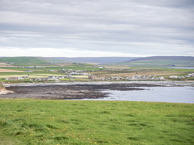
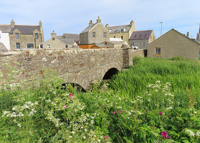
Birsay
Birsay () (Old Norse: Birgisherað) is a parish in the north west corner of The Mainland of Orkney, Scotland. Almost all the land in the parish is devoted...

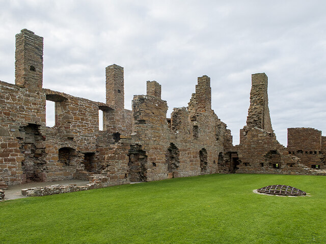
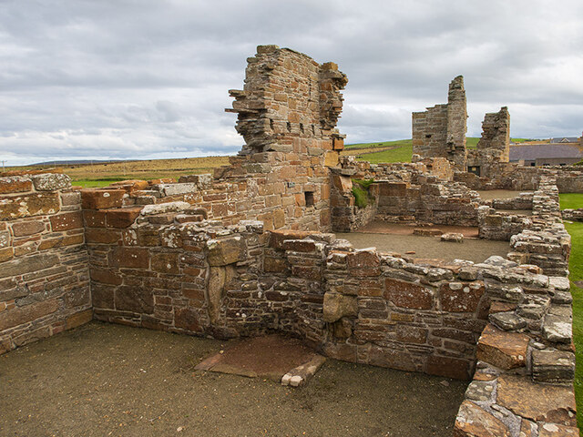
Earl's Palace, Birsay
The Earl's Palace in Birsay, Orkney, Scotland, is a ruined 16th-century castle. It was built by Robert Stewart, 1st Earl of Orkney (1533–1593), illegitimate...

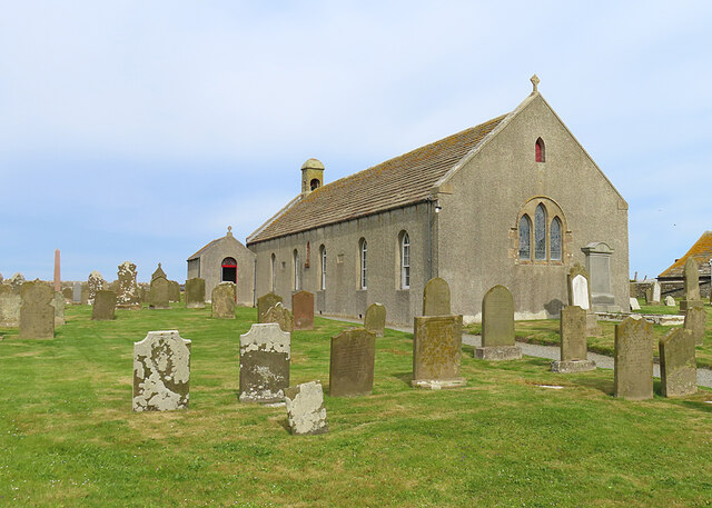
St Magnus Church, Birsay
St Magnus Church, Birsay is a 17th century church located in the parish of Birsay on Mainland, Orkney in Scotland. Built in 1664 on the site of an earlier...

Buckquoy spindle-whorl
The Buckquoy spindle-whorl is an Ogham-inscribed spindle-whorl dating from the Early Middle Ages, probably the 8th century, which was found in 1970 in...
Brough of Birsay
The Brough of Birsay is an uninhabited tidal island off the north-west coast of The Mainland of Orkney, Scotland, in the parish of Birsay. It is located...

Brough of Birsay Lighthouse
The unmanned Brough of Birsay Lighthouse lighthouse was built in 1925 by David A Stevenson. It is located on the Brough of Birsay, an uninhabited tidal...

Abune-the-hill
Abune-the-Hill is a place on in the North of the Orkney Mainland (59.13° N 03.25° W HY2828) and just to the west of the Loch of Swannay.Abune-the-Hill...

Loch of Boardhouse
The Loch of Boardhouse is a freshwater loch in the parish of Birsay in the north west of the mainland of Orkney, Scotland. It acts as a reservoir for public...
Nearby Amenities
Located within 500m of 59.139719,-3.2967916Have you been to Neebasa?
Leave your review of Neebasa below (or comments, questions and feedback).