Tangana Graena Geo
Coastal Feature, Headland, Point in Orkney
Scotland
Tangana Graena Geo
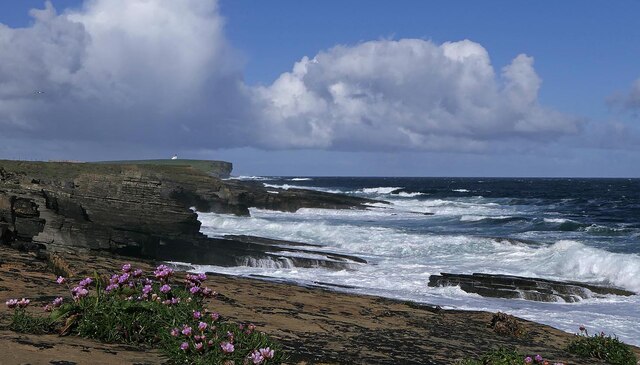
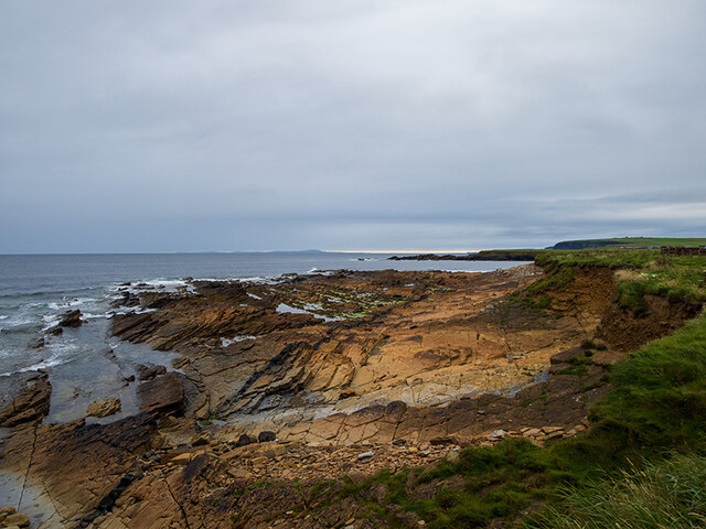
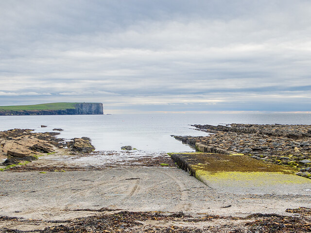
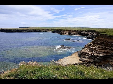
Tangana Graena Geo is a prominent coastal feature located in Orkney, a group of islands situated off the northeastern coast of Scotland. It specifically lies on the Mainland, the largest island in the archipelago. Tangana Graena Geo is classified as a headland or point, characterized by its striking cliffs and rugged terrain.
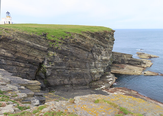
The headland is situated on the western side of Orkney and offers breathtaking views of the surrounding North Atlantic Ocean. Its geographical coordinates are approximately 58.9307°N latitude and 3.3831°W longitude. Tangana Graena Geo stands tall at an elevation of about 75 meters (246 feet) above sea level.
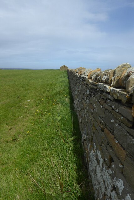
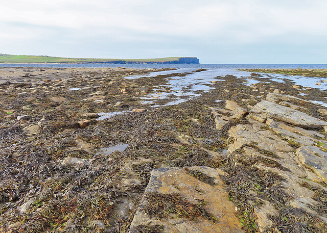
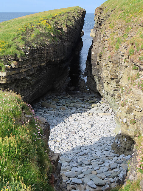
The headland's cliffs are composed of layered sandstone, which has been shaped and eroded over thousands of years by the relentless forces of wind and water. This erosion has given Tangana Graena Geo its distinctive appearance, with steep cliffs interspersed with narrow ledges and crevices.
The area surrounding Tangana Graena Geo is rich in marine life, making it a popular spot for birdwatching and wildlife observation. Visitors can often spot a variety of seabirds, such as puffins, guillemots, and fulmars, nesting along the cliffs. Additionally, seals and occasionally whales can be seen swimming in the waters below.
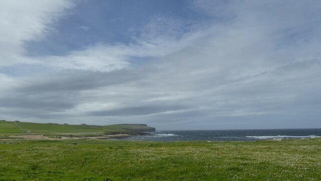
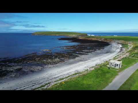
Tangana Graena Geo is accessible via a coastal footpath that offers a scenic walk along the edge of the headland. The path provides an opportunity to appreciate the natural beauty of the area and the dramatic coastal landscape.
If you have any feedback on the listing, please let us know in the comments section below.
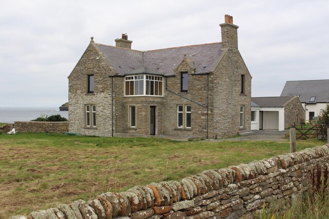
Tangana Graena Geo Images
Images are sourced within 2km of 59.139119/-3.3038474 or Grid Reference HY2528. Thanks to Geograph Open Source API. All images are credited.


Tangana Graena Geo is located at Grid Ref: HY2528 (Lat: 59.139119, Lng: -3.3038474)
Unitary Authority: Orkney Islands
Police Authority: Highlands and Islands
What 3 Words
///mountains.develops.enough. Near Birsay, Orkney Islands
Nearby Locations
Related Wikis

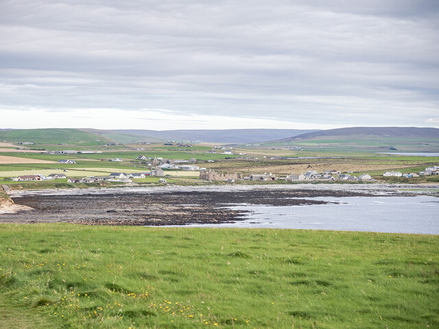
Birsay
Birsay () (Old Norse: Birgisherað) is a parish in the north west corner of The Mainland of Orkney, Scotland. Almost all the land in the parish is devoted...

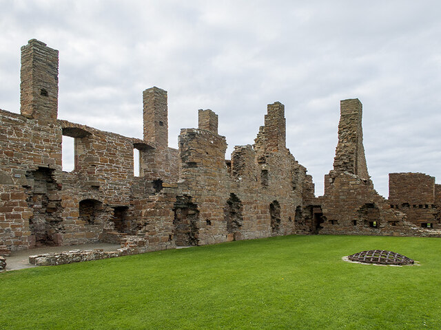
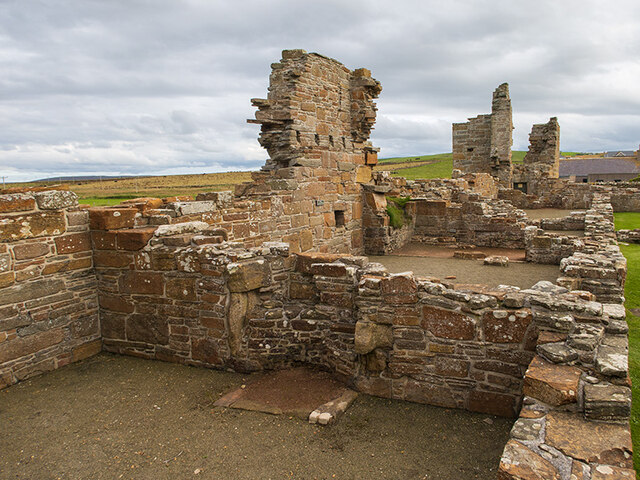
Earl's Palace, Birsay
The Earl's Palace in Birsay, Orkney, Scotland, is a ruined 16th-century castle. It was built by Robert Stewart, 1st Earl of Orkney (1533–1593), illegitimate...

Buckquoy spindle-whorl
The Buckquoy spindle-whorl is an Ogham-inscribed spindle-whorl dating from the Early Middle Ages, probably the 8th century, which was found in 1970 in...

St Magnus Church, Birsay
St Magnus Church, Birsay is a 17th century church located in the parish of Birsay on Mainland, Orkney in Scotland. Built in 1664 on the site of an earlier...
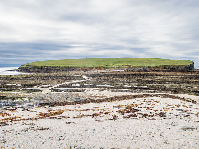
Brough of Birsay
The Brough of Birsay is an uninhabited tidal island off the north-west coast of The Mainland of Orkney, Scotland, in the parish of Birsay. It is located...

Brough of Birsay Lighthouse
The unmanned Brough of Birsay Lighthouse lighthouse was built in 1925 by David A Stevenson. It is located on the Brough of Birsay, an uninhabited tidal...

Abune-the-hill
Abune-the-Hill is a place on in the North of the Orkney Mainland (59.13° N 03.25° W HY2828) and just to the west of the Loch of Swannay.Abune-the-Hill...

Loch of Boardhouse
The Loch of Boardhouse is a freshwater loch in the parish of Birsay in the north west of the mainland of Orkney, Scotland. It acts as a reservoir for public...
Related Videos
Walking Orkney Birsay, a walk of coves & coastline
A short walk which takes you along the coastline from the Brough of Birsay car park to the viewpoint across the Bay.

Walking Orkney, Birsay around the bay
This short film takes you around the Bay in Birsay, part of the St Magnus Way.

The Brough of Birsay in Orkney
A visit to the Brough of Birsay and some information about the early settlers - the Picts and Vikings.
Nearby Amenities
Located within 500m of 59.139119,-3.3038474Have you been to Tangana Graena Geo?
Leave your review of Tangana Graena Geo below (or comments, questions and feedback).