Tanga Scarva Geo of the Swans
Coastal Feature, Headland, Point in Orkney
Scotland
Tanga Scarva Geo of the Swans
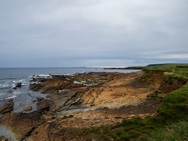
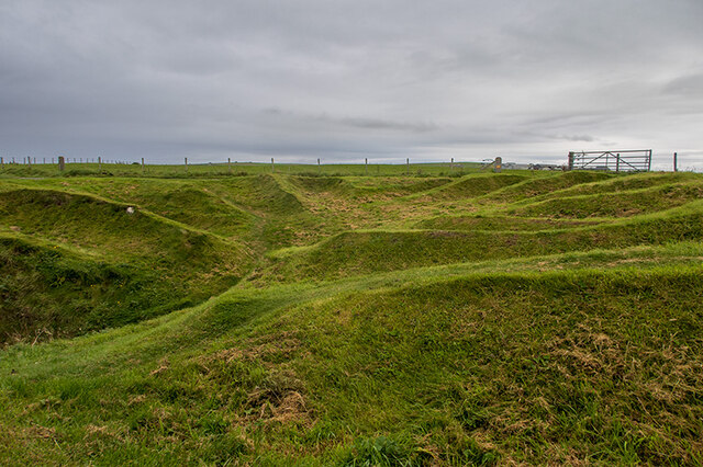
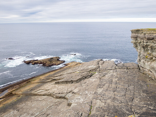
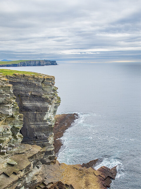
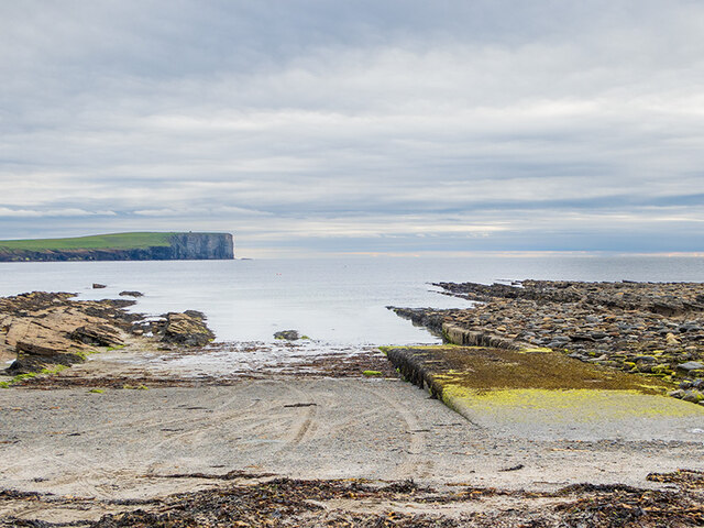
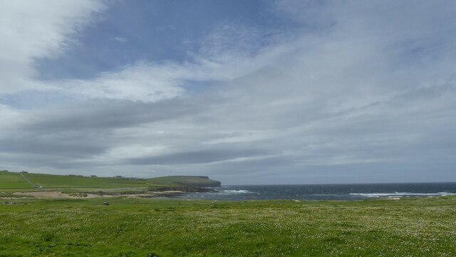
Tanga Scarva Geo of the Swans is a prominent coastal feature located in Orkney, Scotland. This unique formation is classified as a headland or point, characterized by its rugged cliffs and breathtaking views.
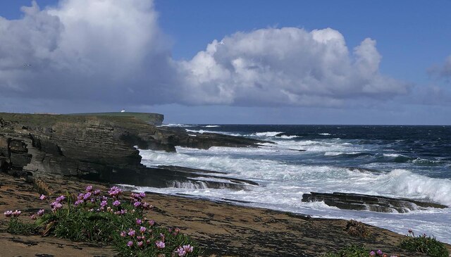
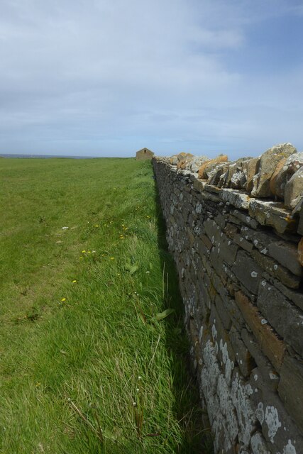
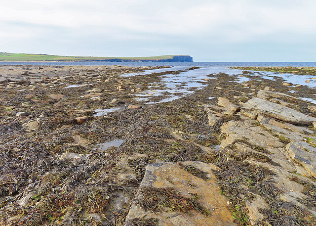
Situated along the northern coast of the Orkney Mainland, Tanga Scarva Geo of the Swans offers visitors a glimpse into the region's geological history. The towering cliffs, which reach heights of up to 100 feet, showcase layers of sedimentary rocks that have been shaped by centuries of erosion from the powerful North Sea waves.
One of the most notable aspects of Tanga Scarva Geo of the Swans is its association with wildlife. The name itself originates from the presence of swans that can be spotted in the area, particularly during the breeding season. These graceful birds, along with other seabirds, find refuge in the rugged cliffs and use them as nesting sites.
The Geo itself is a narrow inlet or cleft in the coastline, formed by the erosive action of the sea. It provides visitors with a secluded and serene setting, perfect for those seeking tranquility amidst nature. The jagged rock formations and crashing waves create a dramatic backdrop, making Tanga Scarva Geo of the Swans a popular destination for photographers and nature enthusiasts.
Access to Tanga Scarva Geo of the Swans is relatively easy, with a well-marked trail leading to the site. However, it is important to exercise caution while exploring the area, as the cliffs can be unstable and slippery.
If you have any feedback on the listing, please let us know in the comments section below.
Tanga Scarva Geo of the Swans Images
Images are sourced within 2km of 59.135965/-3.3182329 or Grid Reference HY2428. Thanks to Geograph Open Source API. All images are credited.
Tanga Scarva Geo of the Swans is located at Grid Ref: HY2428 (Lat: 59.135965, Lng: -3.3182329)
Unitary Authority: Orkney Islands
Police Authority: Highlands and Islands
What 3 Words
///acclaimed.insulated.hobbyists. Near Birsay, Orkney Islands
Nearby Locations
Related Wikis

Buckquoy spindle-whorl
The Buckquoy spindle-whorl is an Ogham-inscribed spindle-whorl dating from the Early Middle Ages, probably the 8th century, which was found in 1970 in...

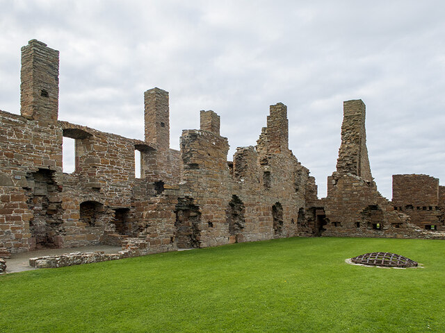
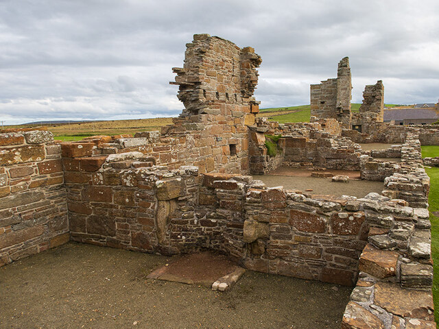
Earl's Palace, Birsay
The Earl's Palace in Birsay, Orkney, Scotland, is a ruined 16th-century castle. It was built by Robert Stewart, 1st Earl of Orkney (1533–1593), illegitimate...

St Magnus Church, Birsay
St Magnus Church, Birsay is a 17th century church located in the parish of Birsay on Mainland, Orkney in Scotland. Built in 1664 on the site of an earlier...

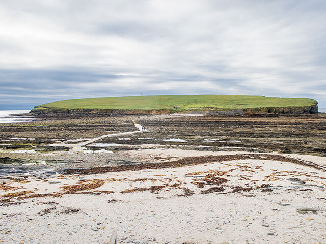
Brough of Birsay
The Brough of Birsay is an uninhabited tidal island off the north-west coast of The Mainland of Orkney, Scotland, in the parish of Birsay. It is located...
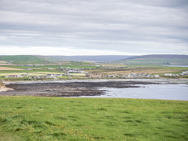
Birsay
Birsay () (Old Norse: Birgisherað) is a parish in the north west corner of The Mainland of Orkney, Scotland. Almost all the land in the parish is devoted...

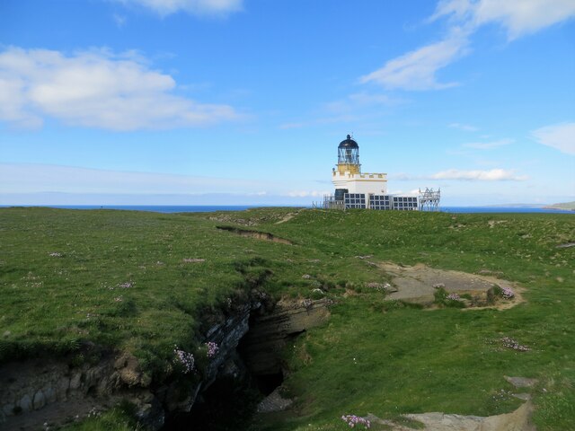
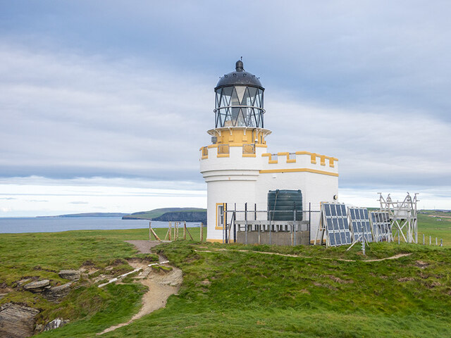
Brough of Birsay Lighthouse
The unmanned Brough of Birsay Lighthouse lighthouse was built in 1925 by David A Stevenson. It is located on the Brough of Birsay, an uninhabited tidal...

Loch of Boardhouse
The Loch of Boardhouse is a freshwater loch in the parish of Birsay in the north west of the mainland of Orkney, Scotland. It acts as a reservoir for public...

Abune-the-hill
Abune-the-Hill is a place on in the North of the Orkney Mainland (59.13° N 03.25° W HY2828) and just to the west of the Loch of Swannay.Abune-the-Hill...
Nearby Amenities
Located within 500m of 59.135965,-3.3182329Have you been to Tanga Scarva Geo of the Swans?
Leave your review of Tanga Scarva Geo of the Swans below (or comments, questions and feedback).