Geodha na Faing
Coastal Feature, Headland, Point in Ross-shire
Scotland
Geodha na Faing
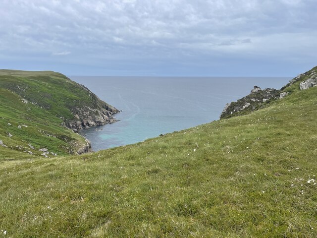
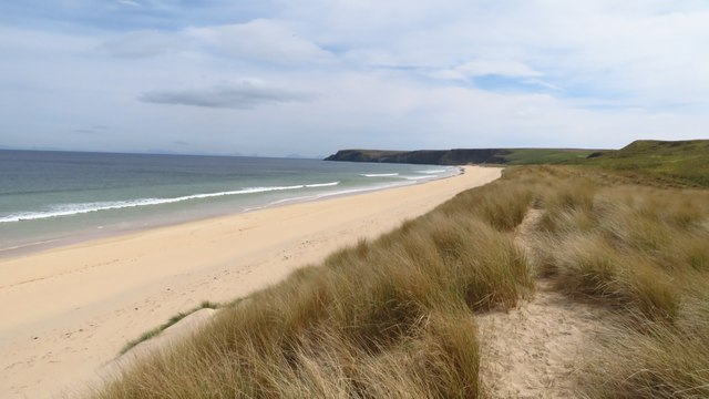
Geodha na Faing, located in Ross-shire, Scotland, is a remarkable coastal feature that stands as a prominent headland or point jutting out into the wild and picturesque North Atlantic Ocean. With its breathtaking natural beauty and rugged landscape, it has become a popular destination for nature enthusiasts, hikers, and photographers alike.
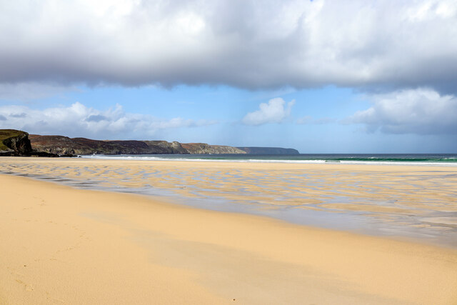
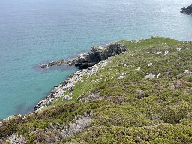
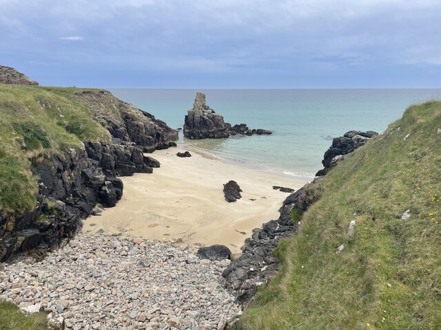
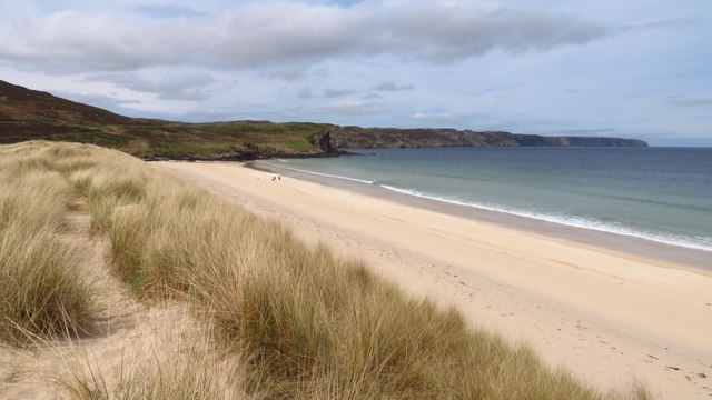
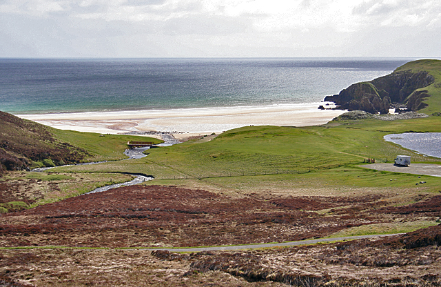
The name "Geodha na Faing" is derived from Gaelic, meaning "bay of the white sand." This name perfectly encapsulates the stunning white sandy beaches that stretch along this headland, contrasting beautifully with the dramatic cliffs and rocky outcrops that define the area.
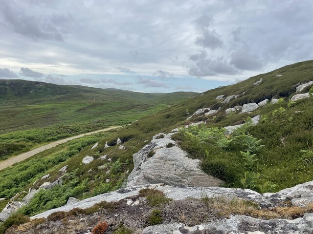
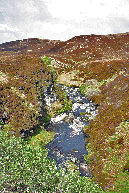
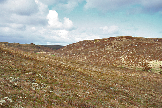
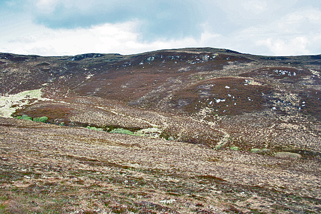
Geodha na Faing offers visitors a mesmerizing blend of land and sea. As one navigates the headland, they are treated to panoramic views of the vast ocean, with the waves crashing against the rocks below. The headland itself is characterized by steep cliffs, which provide a nesting habitat for various seabirds, including puffins, guillemots, and razorbills.
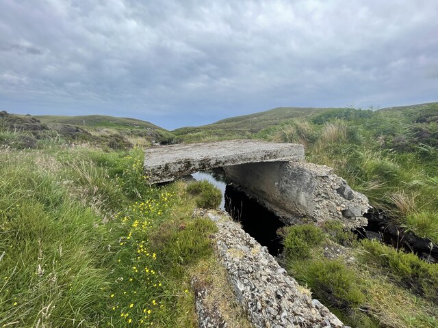
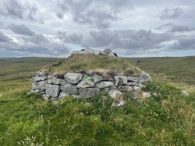
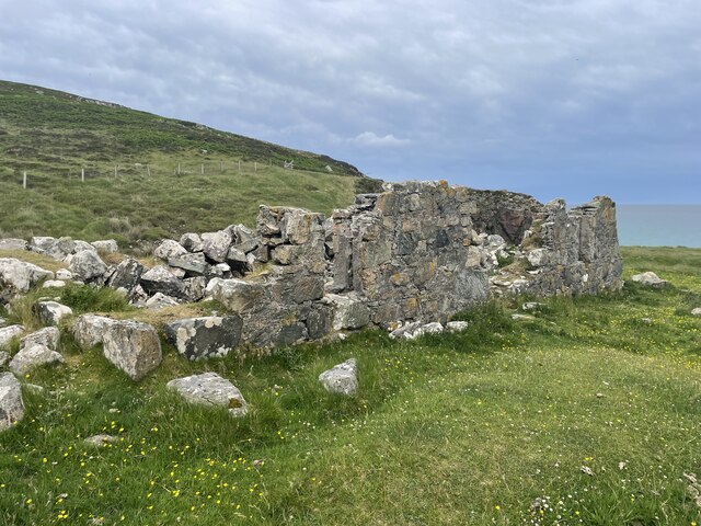
In addition to its natural wonders, Geodha na Faing also boasts a rich history. The area is home to several archaeological sites, including ancient burial mounds and standing stones, which provide a glimpse into the lives of the people who once inhabited this region.
Access to Geodha na Faing is relatively easy, with designated trails and paths that allow visitors to explore the headland safely. However, caution is advised due to the unpredictable weather conditions and the steep cliffs. It is advisable to check the local weather forecast and wear appropriate clothing and footwear when visiting.
Overall, Geodha na Faing is a captivating coastal feature that showcases the raw beauty of Scotland's coastline. Its combination of stunning beaches, dramatic cliffs, and historical significance makes it a must-visit destination for anyone seeking an unforgettable experience in Ross-shire.
If you have any feedback on the listing, please let us know in the comments section below.
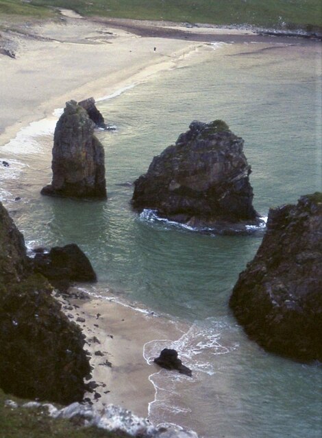
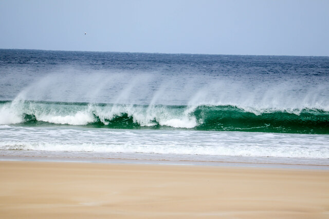
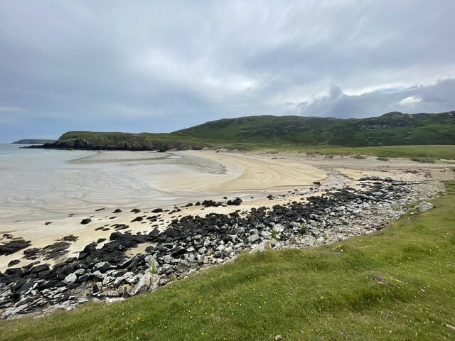
Geodha na Faing Images
Images are sourced within 2km of 58.365557/-6.2115801 or Grid Reference NB5349. Thanks to Geograph Open Source API. All images are credited.
Geodha na Faing is located at Grid Ref: NB5349 (Lat: 58.365557, Lng: -6.2115801)
Unitary Authority: Na h-Eileanan an Iar
Police Authority: Highlands and Islands
What 3 Words
///spare.uttering.ground. Near North Tolsta, Na h-Eileanan Siar
Related Wikis

New Tolsta
New Tolsta (Scottish Gaelic: Baile Ùr Tholastaidh) is a village on the Isle of Lewis in the Outer Hebrides, Scotland. New Tolsta is within the parish of...

North Tolsta
North Tolsta (Scottish Gaelic: Tolastadh bho Thuath) is a village in the Scottish Outer Hebrides, on the east side of the Isle of Lewis. North Tolsta is...

Gress
Gress (Scottish Gaelic: Griais), a hamlet on the Isle of Lewis in Scotland, is adjacent to the larger village of Back. Gress is within the parish of Stornoway...
Nearby Amenities
Located within 500m of 58.365557,-6.2115801Have you been to Geodha na Faing?
Leave your review of Geodha na Faing below (or comments, questions and feedback).