Penguarnon
Coastal Feature, Headland, Point in Cornwall
England
Penguarnon
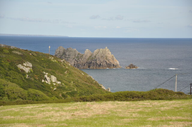
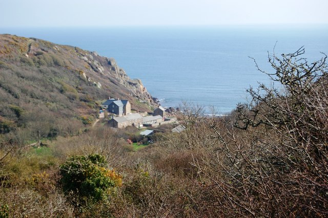
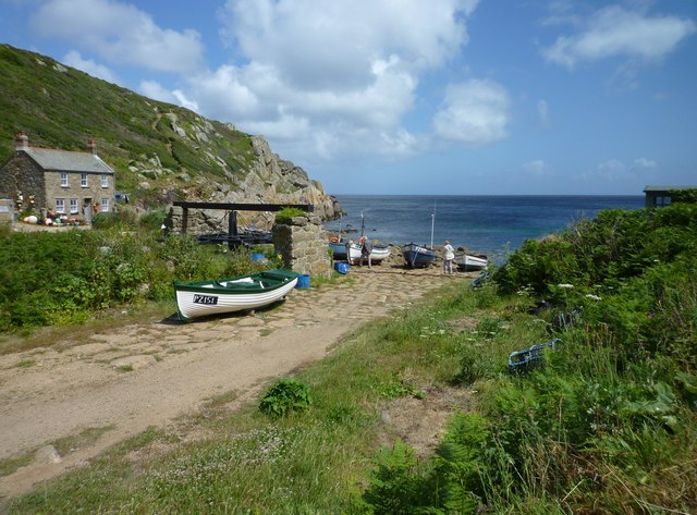
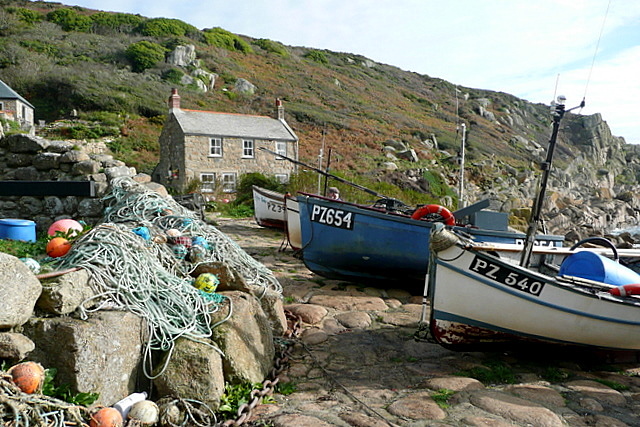
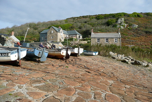
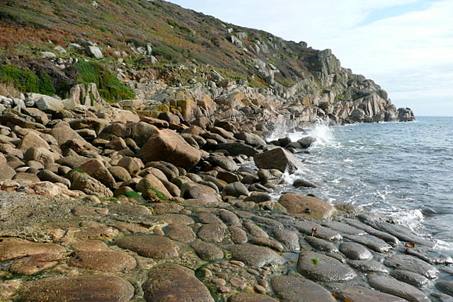
Penguarnon is a prominent headland located on the southern coast of Cornwall, England. Situated between the towns of St Ives and Hayle, this coastal feature is renowned for its stunning natural beauty and rich geological heritage.
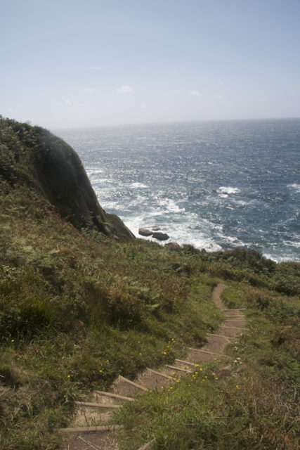
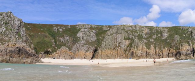
Standing at an elevation of approximately 100 meters, Penguarnon offers breathtaking panoramic views of the surrounding coastline. Its exposed cliffs are composed of hard, resistant rocks such as granite and slate, which have been shaped over millions of years by the relentless force of the Atlantic Ocean. These cliffs provide a habitat for various seabird species, including gulls, fulmars, and cormorants, making it a popular spot for birdwatching enthusiasts.
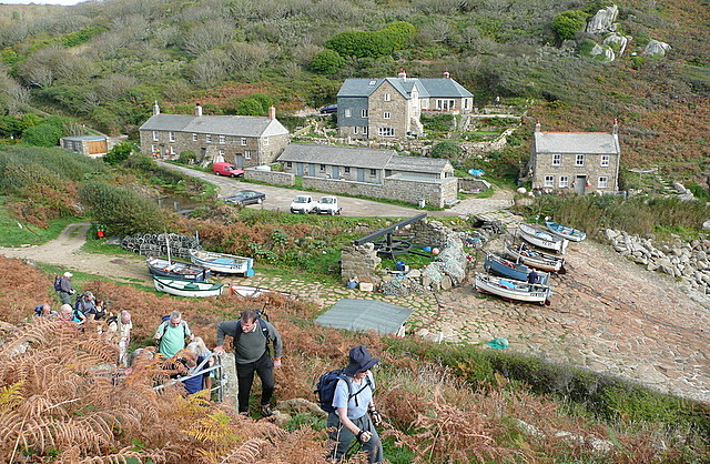
In addition to its natural beauty, Penguarnon holds historical significance. The headland was once home to an Iron Age fort, with remnants of ancient stone walls and earthworks still visible today. This fort would have provided a strategic vantage point for observing approaching ships and defending the coastline.
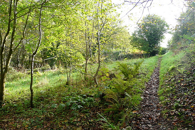
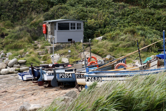
Penguarnon is easily accessible by foot, with several walking trails leading to its summit. The headland is also a popular destination for outdoor activities such as hiking, photography, and picnicking. However, visitors are advised to exercise caution due to the steep and rugged terrain.
Overall, Penguarnon is a captivating coastal feature that combines stunning natural scenery with a rich historical past. Whether it be for its breathtaking views or its cultural heritage, Penguarnon is a must-visit destination for those exploring the picturesque coast of Cornwall.
If you have any feedback on the listing, please let us know in the comments section below.
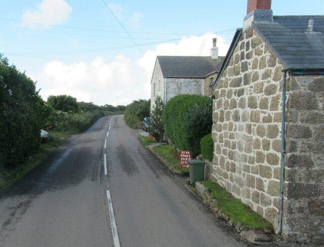
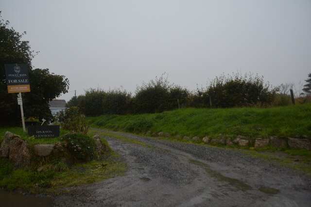
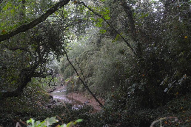
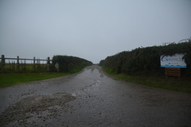
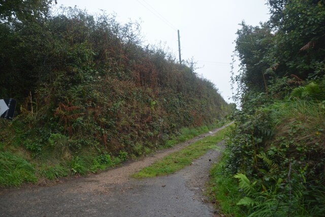
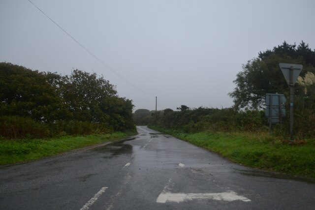
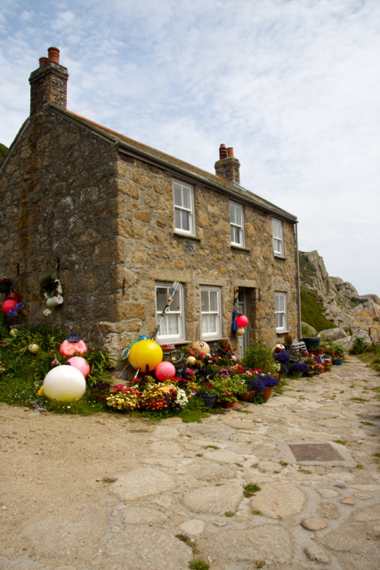
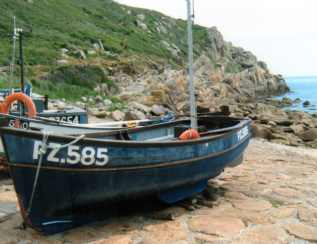
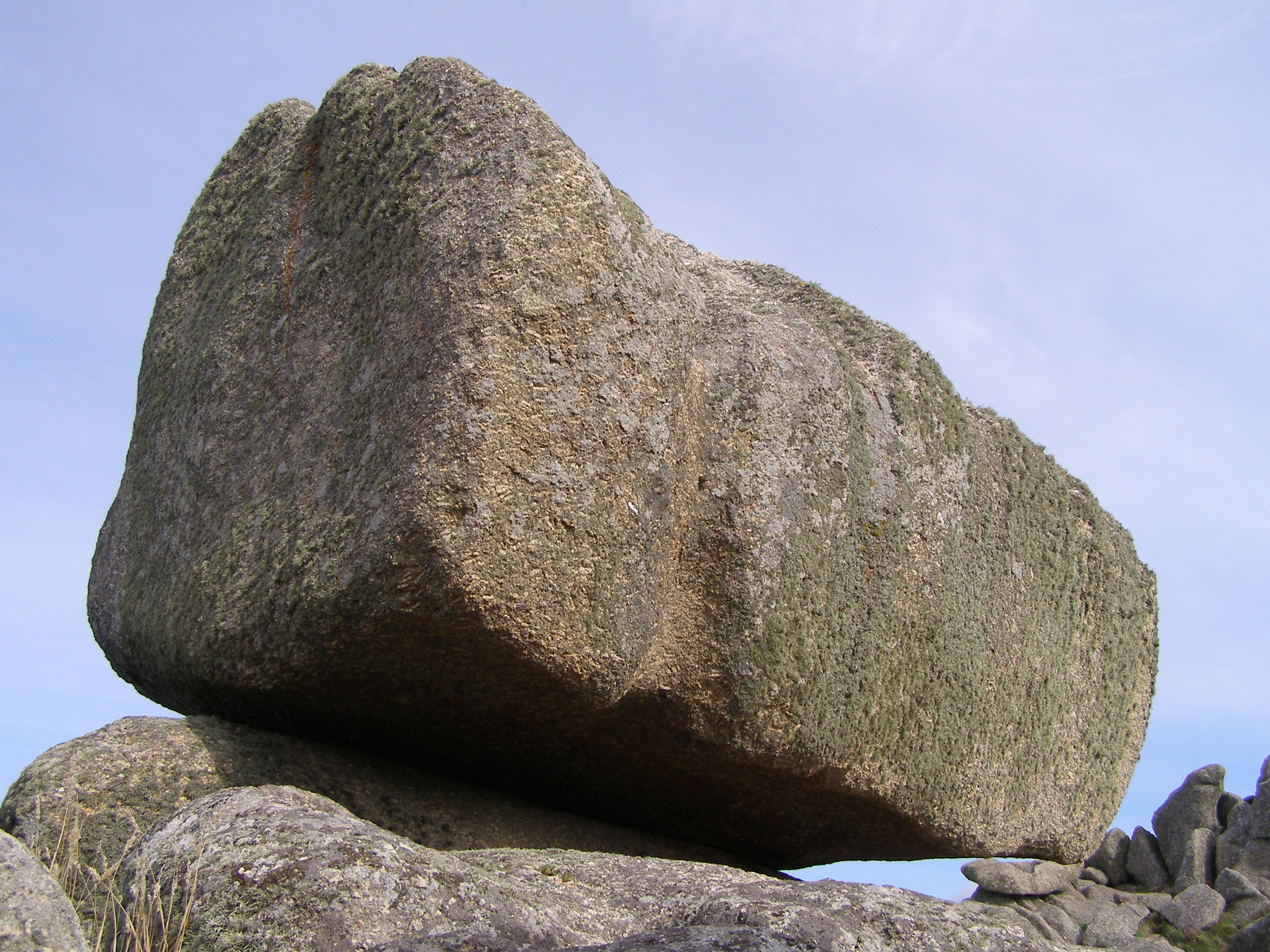
Penguarnon Images
Images are sourced within 2km of 50.050102/-5.6215309 or Grid Reference SW4022. Thanks to Geograph Open Source API. All images are credited.
Penguarnon is located at Grid Ref: SW4022 (Lat: 50.050102, Lng: -5.6215309)
Unitary Authority: Cornwall
Police Authority: Devon and Cornwall
What 3 Words
///pull.marine.founders. Near St Buryan, Cornwall
Nearby Locations
Related Wikis

Penberth
Penberth (Cornish: Benbryhi) is a valley, coastal village and cove on the Penwith peninsula in Cornwall, England. It is approximately 7 miles (11 km) southwest...

Treryn Dinas
Treryn Dinas is a headland near Treen, on the Penwith peninsula between Penberth Cove and Porthcurno in Cornwall, England. It is a scheduled monument,...
Treen Cliff
Treen Cliff is a Site of Special Scientific Interest (SSSI) located on the Penwith Peninsula in Cornwall, England, UK, 6 miles (9.7 km) south-west of Penzance...

Cripp's Cove
Cripp's Cove is a cove on the coast of west Cornwall, England, UK. The inlet is situated on the Logan Rock peninsula one mile (1.6 km) east of Porthcurno...

Treen, St Levan
Treen (Cornish: Tredhin) (grid reference SW3923) is a small village in the parish of St Levan, in the far west of Cornwall, England, United Kingdom. It...
Logan Rock
The Logan Rock (Cornish: Men Omborth, meaning balanced stone) near the village of Treen in Cornwall, England, UK, is an example of a logan or rocking stone...

Sparnon
Sparnon is a small hamlet in the parish of St Buryan on the Penwith peninsula in Cornwall, England, United Kingdom. == References ==

St Loy's Cove
St Loy's Cove is a small wooded valley and beach in the civil parish of St Buryan in Cornwall, England, UK. It is located two miles to the south of St...
Nearby Amenities
Located within 500m of 50.050102,-5.6215309Have you been to Penguarnon?
Leave your review of Penguarnon below (or comments, questions and feedback).