Sgeir na h-Altair
Coastal Feature, Headland, Point in Ross-shire
Scotland
Sgeir na h-Altair
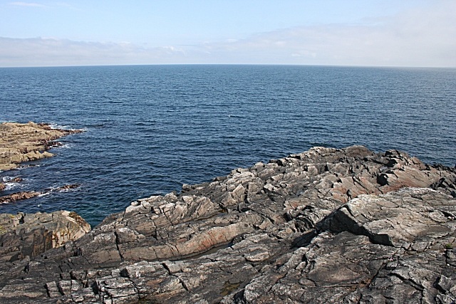
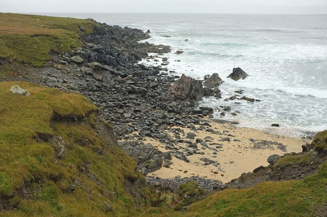
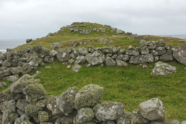
Sgeir na h-Altair is a coastal feature located in Ross-shire, Scotland. It is a prominent headland that juts out into the sea, forming a distinct point along the coastline. The name "Sgeir na h-Altair" translates to "Rock of the Altar" in English, adding a sense of mystique to the area.
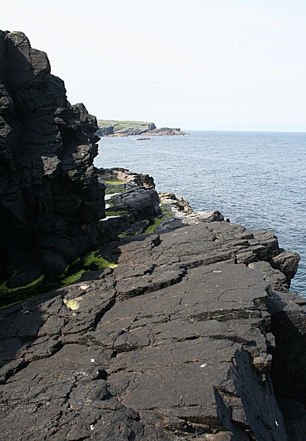
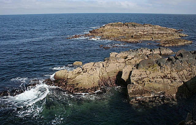
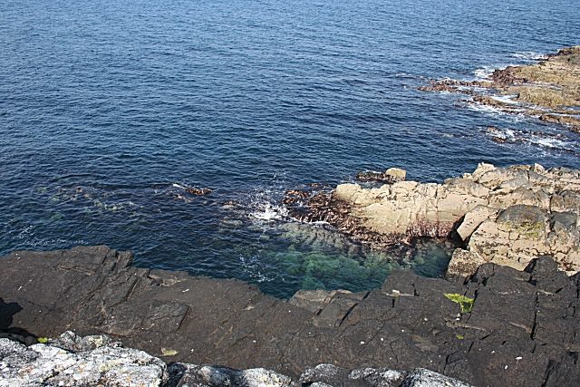
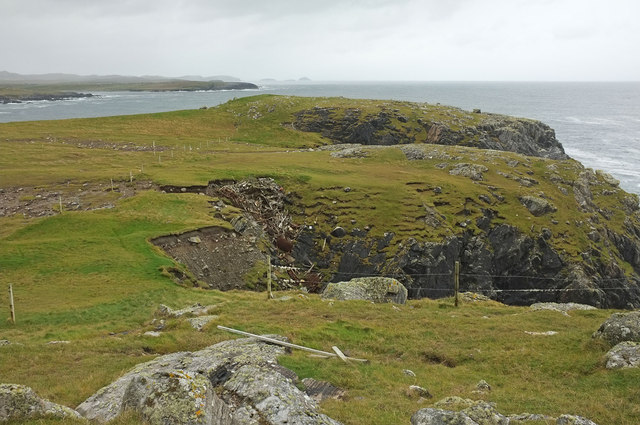
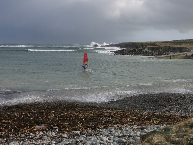
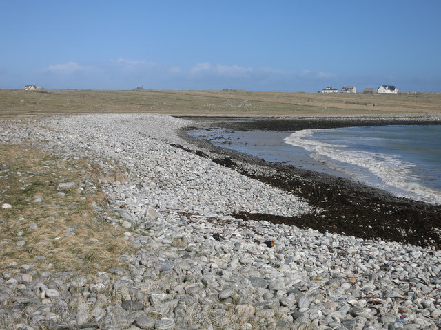
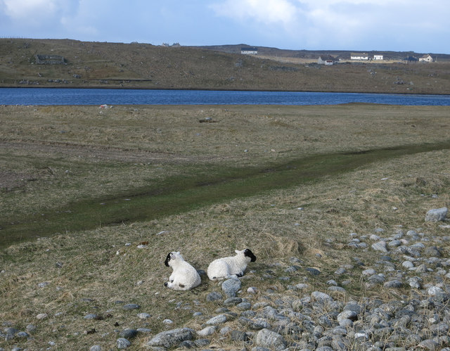
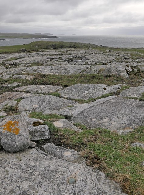
This headland is characterized by its rugged and rocky terrain, with steep cliffs that descend into the crashing waves below. The rocks are mainly composed of ancient volcanic formations, showcasing the geological history of the region. The headland is also home to a diverse range of flora and fauna, including seabirds such as gulls and cormorants that nest on the cliffs.
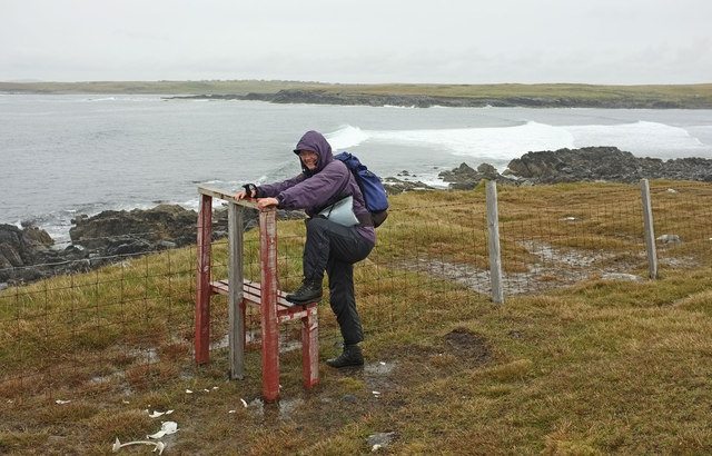
Sgeir na h-Altair offers breathtaking views of the surrounding coastline and the vast expanse of the North Atlantic Ocean. The area is popular among photographers, hikers, and nature enthusiasts who come to admire its natural beauty and capture the stunning landscapes.
Access to Sgeir na h-Altair is relatively easy, with well-maintained coastal paths leading to the headland. Visitors can explore the rocky shoreline, observe the wildlife, or simply enjoy the peacefulness of this coastal retreat.
Overall, Sgeir na h-Altair is a significant coastal feature in Ross-shire, known for its dramatic cliffs, stunning views, and diverse wildlife. It is a must-visit destination for anyone seeking a true Scottish coastal experience.
If you have any feedback on the listing, please let us know in the comments section below.
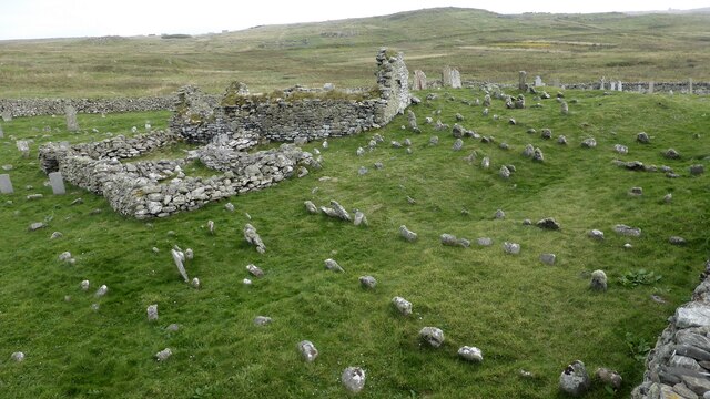
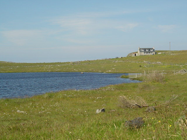
Sgeir na h-Altair Images
Images are sourced within 2km of 58.350544/-6.6633327 or Grid Reference NB2749. Thanks to Geograph Open Source API. All images are credited.
Sgeir na h-Altair is located at Grid Ref: NB2749 (Lat: 58.350544, Lng: -6.6633327)
Unitary Authority: Na h-Eileanan an Iar
Police Authority: Highlands and Islands
What 3 Words
///darkest.cabbages.explorer. Near Carloway, Na h-Eileanan Siar
Related Wikis

Bragar
Bragar (Scottish Gaelic: Bràgar, pronounced [braːgər]) is a village on the west side of the Isle of Lewis in the Outer Hebrides, Scotland, 14 miles (23...

Shawbost
Shawbost (Scottish Gaelic: Siabost) is a large village in the West Side of the Isle of Lewis. The village of Shawbost has a population of around 500 and...

Arnol
Arnol (Scottish Gaelic: Àrnol) is a small village typical of many settlements of the west coast of the Isle of Lewis, in the Outer Hebrides, Scotland....

Mullen Bridge
Mullen Bridge is an old bridge crossing the Royal Canal in Maynooth in County Kildare, Ireland. It was built between 1790 and 1800.The bridge used to carry...
Related Videos
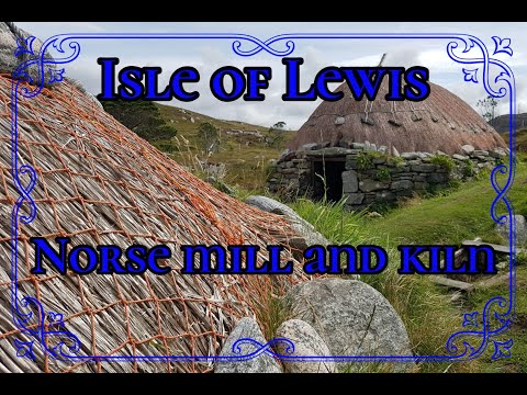
𝕹𝖔𝖗𝖘𝖊 𝕸𝖎𝖑𝖑 𝖆𝖓𝖉 𝕶𝖎𝖑𝖓, 𝕾𝖍𝖆𝖜𝖇𝖔𝖘𝖙, 𝕴𝖘𝖑𝖊 𝖔𝖋 𝕷𝖊𝖜𝖎𝖘, 𝕰𝖝𝖕𝖑𝖔𝖗𝖎𝖓𝖌 𝕾𝖈𝖔𝖙𝖑𝖆𝖓𝖉'𝖘 𝕳𝖎𝖘𝖙𝖔𝖗𝖞
Norse Mill and Kiln, Shawbost, Isle of Lewis, Exploring Scotland's History A visit to a less 'popular' site on the Isle of Lewis to see ...
Have you been to Sgeir na h-Altair?
Leave your review of Sgeir na h-Altair below (or comments, questions and feedback).