An Dun
Coastal Feature, Headland, Point in Argyllshire
Scotland
An Dun

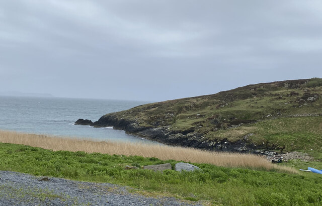
An Dun, located in Argyllshire, Scotland, is a prominent coastal feature known for its striking headland and picturesque point. Situated on the western coast of Scotland, An Dun offers breathtaking views of the surrounding rugged coastline and the vast Atlantic Ocean.
The headland of An Dun stands tall and proud, jutting out into the sea, forming a natural barrier against the crashing waves. Its sheer cliffs, formed over millions of years by the relentless erosion of the ocean, provide a magnificent spectacle for visitors. The exposed rocks on the headland reveal layers of ancient geological formations, offering a glimpse into the area's rich geological history.
At the tip of the headland lies the point of An Dun, which provides an ideal vantage point for observing marine life and seabirds. The point is a popular spot for birdwatchers, as it attracts a variety of species, including gannets, puffins, and guillemots. Visitors can often spot these colorful birds diving into the water, hunting for fish.
The coastal path that winds along An Dun offers visitors the opportunity to explore the area's natural beauty up close. The path leads to secluded sandy coves, where visitors can relax and enjoy the tranquility of the surroundings. The crystal-clear waters of the Atlantic Ocean provide a refreshing opportunity for swimming, snorkeling, and even kayaking.
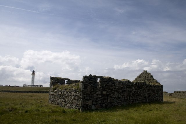
An Dun is not only a haven for nature enthusiasts but also holds historical significance. It is said to have been a strategic lookout point during ancient times, providing a vantage point for early settlers to monitor the surrounding landscape and sea. Today, visitors can still appreciate the historical significance of the area while immersing themselves in its stunning natural beauty.
If you have any feedback on the listing, please let us know in the comments section below.
An Dun Images
Images are sourced within 2km of 55.671833/-6.4874773 or Grid Reference NR1751. Thanks to Geograph Open Source API. All images are credited.


An Dun is located at Grid Ref: NR1751 (Lat: 55.671833, Lng: -6.4874773)
Unitary Authority: Argyll and Bute
Police Authority: Argyll and West Dunbartonshire
What 3 Words
///schematic.expiring.owns. Near Portnahaven, Argyll & Bute
Related Wikis

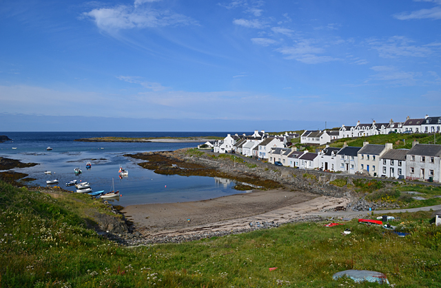
Portnahaven
Portnahaven (Scottish Gaelic: Port na h-Abhainne, meaning river port) is a village on Islay in the Inner Hebrides, Scotland. The village is within the...

Orsay, Inner Hebrides
Orsay (Scottish Gaelic: Orasaigh) is a small island in the Inner Hebrides of Scotland. It lies a short distance off the west coast of the island of Islay...

Eilean Mhic Coinnich
Eilean Mhic Coinnich, also known as Mackenzie Island (although recorded on the Land Register as McKenseys Island), is an uninhabited island of 17.3 hectares...

Islay LIMPET
Islay LIMPET was the world's first commercial wave power device and was connected to the United Kingdom's National Grid. == History == Islay LIMPET (Land...
Nearby Amenities
Located within 500m of 55.671833,-6.4874773Have you been to An Dun?
Leave your review of An Dun below (or comments, questions and feedback).