Geodha Tulabie
Coastal Feature, Headland, Point in Ross-shire
Scotland
Geodha Tulabie
Geodha Tulabie is a prominent coastal feature located in Ross-shire, Scotland. It is a stunning headland that juts out into the North Sea, forming a distinctive point along the rugged coastline. The name "Geodha Tulabie" is derived from the local Gaelic language, with "Geodha" meaning "bay" and "Tulabie" referring to a type of fish found in the area.
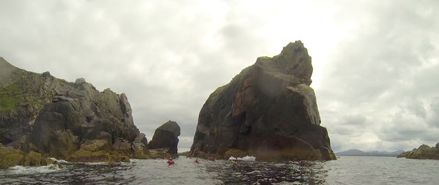
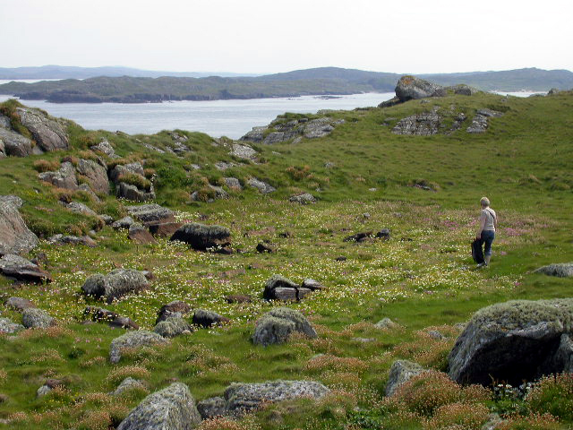
This headland is characterized by its dramatic cliffs and rocky terrain, which provide breathtaking views of the surrounding sea and coastline. The cliffs are composed of various types of sedimentary rock, including sandstone and limestone, which have been shaped over thousands of years by the relentless force of the waves.
Geodha Tulabie is a haven for wildlife enthusiasts, as it is home to a diverse range of flora and fauna. The surrounding waters are rich in marine life, with seals, dolphins, and various species of seabirds often spotted in the area. The headland itself is covered in heather, grasses, and wildflowers, providing a habitat for numerous bird species and small mammals.
In addition to its natural beauty, Geodha Tulabie also holds historical and cultural significance. It is believed that the headland was once used as a lookout point during ancient times, with evidence of ancient settlements and burial grounds discovered nearby.
Overall, Geodha Tulabie is a captivating coastal feature that offers visitors a chance to immerse themselves in the raw beauty of Scotland's coastline and explore its rich natural and historical heritage.
If you have any feedback on the listing, please let us know in the comments section below.
Geodha Tulabie Images
Images are sourced within 2km of 58.285279/-6.9182048 or Grid Reference NB1143. Thanks to Geograph Open Source API. All images are credited.
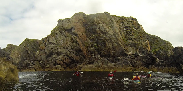
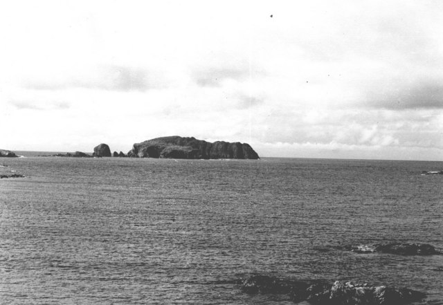
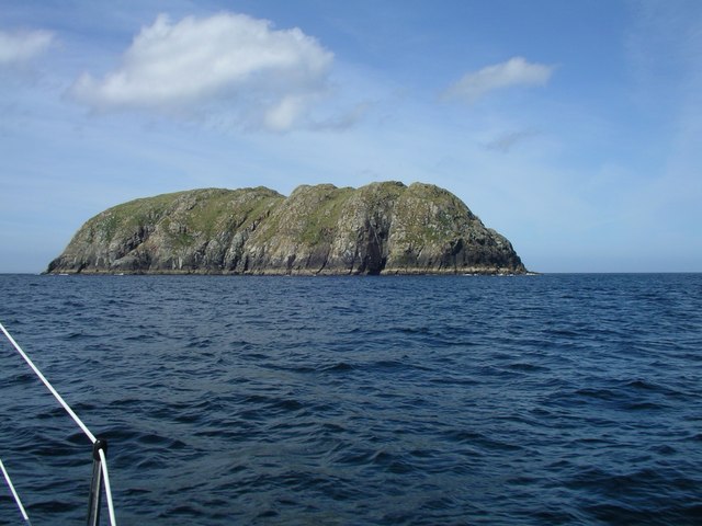
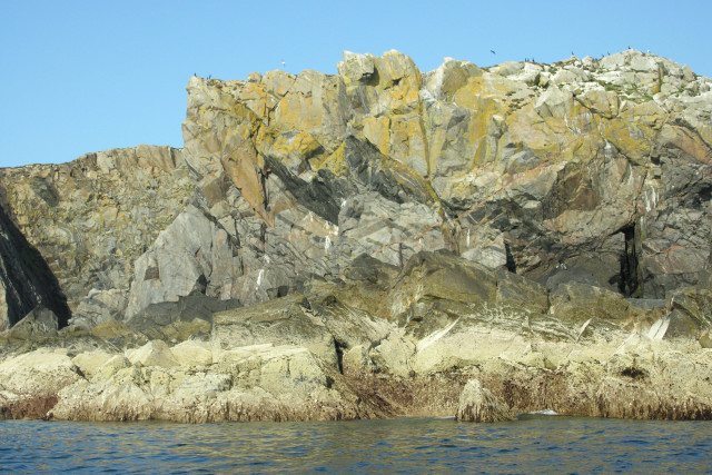
![Stac an Tùill This remarkably lumpy little stack is Stac an Tùill, it lies immediately to the southwest of Bearasaigh (<a href="https://www.geograph.org.uk/photo/2646866">NB1242 : Bearasaigh in front of Seanna Chnoc</a>). I can&#039;t find a definitive height for it, but as Bearasaigh&#039;s highest point is 58m I would estimate that Stac an Tùill achieves about 40m (c. 130ft)
[Edit] The latest OS map gives a height of 43m](https://s2.geograph.org.uk/geophotos/02/64/68/2646870_d9cfdc53.jpg)


Geodha Tulabie is located at Grid Ref: NB1143 (Lat: 58.285279, Lng: -6.9182048)
Unitary Authority: Na h-Eileanan an Iar
Police Authority: Highlands and Islands
What 3 Words
///pity.meatball.tags. Near Carloway, Na h-Eileanan Siar
Related Wikis
Seanna Chnoc
Seanna Chnoc (English: "old hill"), correctly known as Seana Bheinn is an islet in outer Loch Ròg, Lewis, Scotland. It lies north west of Great Bernera...

Bearasaigh
Bearasaigh or Bearasay (and sometimes Berisay) is an islet in outer Loch Ròg, Lewis, Scotland. During the late 16th and early 17th centuries it was used...
Flodaigh (Outer Loch Ròg)
Flodaigh is an islet in outer Loch Ròg, Lewis, Scotland. It lies north west of Great Bernera and Little Bernera, south of Bearasaigh and Seanna Chnoc and...

Campaigh
Campaigh or Campay is a steep and rocky islet in outer Loch Ròg, Lewis, Scotland that lies north of Cealasaigh and Little Bernera. A huge natural arch...
Cealasaigh
Cealasaigh or Kealasay is an islet in outer Loch Ròg, Lewis, Scotland that lies north of Traigh Mhór on Little Bernera and south of Campaigh. To the west...

Little Bernera
Little Bernera (Scottish Gaelic: Beàrnaraigh Beag) is a small island situated off the west coast of the Isle of Lewis in the Outer Hebrides.Little Bernera...
Bernera Riot
The Bernera Riot occurred in 1874, on the island of Great Bernera, in Scotland in response to the Highland Clearances. The use of the term 'Bernera Riot...
Pabaigh Mòr
Pabay Mòr or Pabaigh Mòr is an uninhabited island in the Outer Hebrides of Scotland. == History == The island's name comes from papey, an Old Norse name...
Nearby Amenities
Located within 500m of 58.285279,-6.9182048Have you been to Geodha Tulabie?
Leave your review of Geodha Tulabie below (or comments, questions and feedback).