Bogha Chorr-eilean

Coastal Feature, Headland, Point in Argyllshire

Scotland

Bogha Chorr-eilean

Post Box at Gott Bay Another bike propped up by the modern post box
Post Box at Gott Bay Credit: Tim Ball

Bogha Chorr-eilean is a prominent coastal feature located in Argyllshire, Scotland. More specifically, it is a headland that extends out into the sea, forming a distinct point along the coastline. The name "Bogha Chorr-eilean" is derived from Gaelic, with "Bogha" meaning "bow" or "arch" and "Chorr-eilean" referring to the nearby island of Corr-eilean.

This headland is known for its stunning natural beauty and rugged landscape. It is characterized by steep cliffs that drop dramatically into the sea, offering breathtaking views of the surrounding area. The headland is composed mainly of rocky terrain, with patches of grass and heather scattered throughout. The constant crashing of waves against the cliffs adds to the dramatic atmosphere of the location.

Bogha Chorr-eilean is also home to a diverse range of flora and fauna. The surrounding waters provide a rich feeding ground for various marine species, making it a popular spot for birdwatching and marine wildlife enthusiasts. Seabirds, such as gannets and puffins, can often be spotted nesting on the cliffs, while seals and dolphins can sometimes be seen swimming nearby.

Visitors to Bogha Chorr-eilean can enjoy a variety of activities, including hiking along the coastal path that winds around the headland, allowing for panoramic views of the surrounding coastline. The area is also popular among rock climbers, who are drawn to the challenging cliffs and magnificent vistas.

Overall, Bogha Chorr-eilean is a picturesque and captivating coastal feature in Argyllshire, offering visitors a chance to immerse themselves in Scotland's stunning natural beauty.

If you have any feedback on the listing, please let us know in the comments section below.

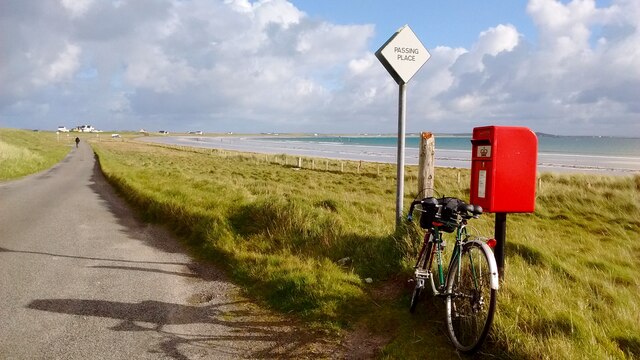
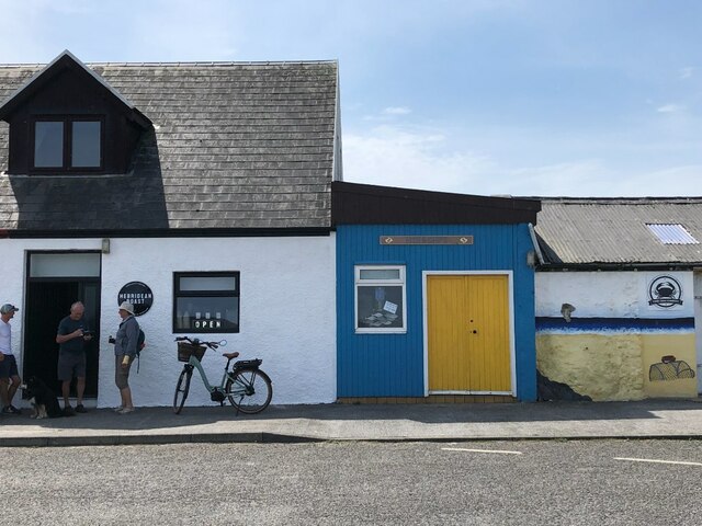
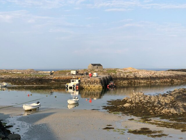
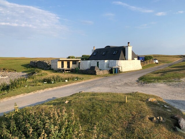
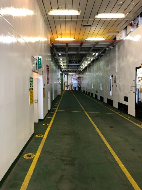
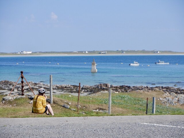
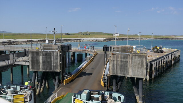
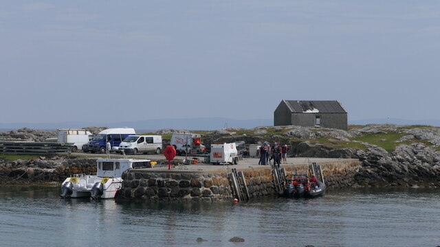
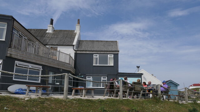
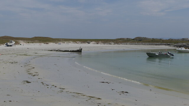
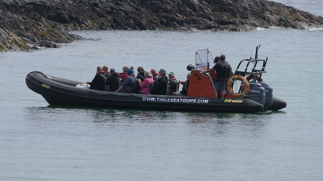
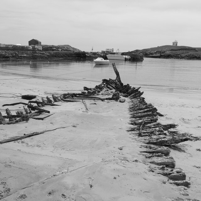
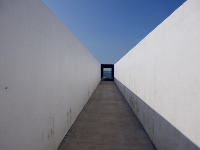
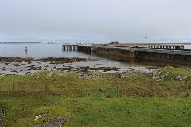
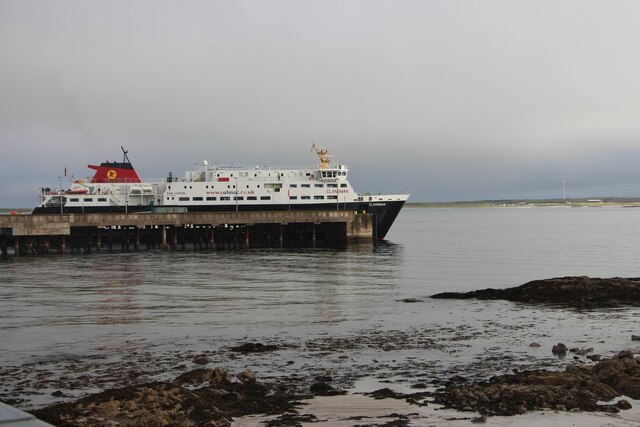
Bogha Chorr-eilean Images

Images are sourced within 2km of 56.499838/-6.801542 or Grid Reference NM0444. Thanks to Geograph Open Source API. All images are credited.

Post Box at Gott Bay Another bike propped up by the modern post box
Post Box at Gott Bay
Another bike propped up by the modern post box
Coffee shop, Scarinish
Harbour, Scarinish Near low water (neap).
Harbour, Scarinish
Near low water (neap).
Cottage, Scarinish
Cottage, Scarinish
Car deck, The Clansman A Caledonian MacBrayne ferry during a time of upheaval and service problems for the service. The deck is empty as on a Wednesday the service to Coll and Tiree continues to Barra and many got off at Scarinish and few got on.  I did not have to reverse on, just drove a loop around the deck.
Car deck, The Clansman
A Caledonian MacBrayne ferry during a time of upheaval and service problems for the service. The deck is empty as on a Wednesday the service to Coll and Tiree continues to Barra and many got off at Scarinish and few got on. I did not have to reverse on, just drove a loop around the deck.
Waiting for the ferry, Scarinish
Scarinish pier Better weather than they got for the Music Festival which was cancelled due to wind. At the time this picture was taken Tiree was suffering drought conditions with poor grass growth. Soon afterwards the rains returned .

Taken from the Clansman on the weekly sailing for Barra.
Scarinish pier
Better weather than they got for the Music Festival which was cancelled due to wind. At the time this picture was taken Tiree was suffering drought conditions with poor grass growth. Soon afterwards the rains returned . Taken from the Clansman on the weekly sailing for Barra.
Sgeirean an Ròin Skerries in Gott Bay, Tiree.
Sgeirean an Ròin
Skerries in Gott Bay, Tiree.
Scarinish harbour A tour group is about to depart for the Treshnish islands.
Scarinish harbour
A tour group is about to depart for the Treshnish islands.
Scarinish Hotel
Scarinish Hotel
Beach, Scarinish harbour
Boat tour departing from Scarinish About to head for Lunga.
Boat tour departing from Scarinish
About to head for Lunga.
Mary Stuart wreck, Scarinish A wreck in Scarinish harbour.
Mary Stuart wreck, Scarinish
A wreck in Scarinish harbour.
Arriving ferry, Scarinish
Gott Bay The skerries that I was visiting were submerged; Sgeirean an Ròin (shown) however are much more obvious rocks, some visible at high water.
Gott Bay
The skerries that I was visiting were submerged; Sgeirean an Ròin (shown) however are much more obvious rocks, some visible at high water.
An Turas Installation by Scarinish Pier
An Turas
Installation by Scarinish Pier
Scarinish Pier, Tiree
Calmac ferry 'Clansman' at Scarinish Pier
Show me another place!

Bogha Chorr-eilean is located at Grid Ref: NM0444 (Lat: 56.499838, Lng: -6.801542)

Unitary Authority: Argyll and Bute

Police Authority: Argyll and West Dunbartonshire

What 3 Words

///shadow.downcast.rekindle. Near Scarinish, Argyll & Bute

Related Wikis

Scarinish

Scarinish (Scottish Gaelic: Sgairinis [ˈs̪kaɾʲɪnɪʃ]) is the main village on the island of Tiree, in the Inner Hebrides of Scotland. It is located on the...

Tiree

Tiree (; Scottish Gaelic: Tiriodh, pronounced [ˈtʲʰiɾʲəɣ]) is the most westerly island in the Inner Hebrides of Scotland. The low-lying island, southwest...

Tiree Airport

Tiree Airport (Scottish Gaelic: Port-adhair Thiriodh) (IATA: TRE, ICAO: EGPU) is located 2.5 nautical miles (4.6 km; 2.9 mi) north northeast of Balemartine...

Dun Mor Vaul

Dun Mor Vaul (or simply Dun Mor; Scottish Gaelic: Dùn Mòr) is an iron-age broch located on the north coast of the island of Tiree, in Scotland. ��2�...

Nearby Amenities

Located within 500m of 56.499838,-6.801542
Source: PGS
Lat/Long: 56.5031844/-6.8006118
Source: PGS
Lat/Long: 56.5017556/-6.8050028
Source: PGS
Lat/Long: 56.5003227/-6.8036448
Scarinish
Is In: Tiree, Inner Hebrides, Scotland, UK
Name Gd: Sgairinis
Name Non: Skárines
Place: village
Source: npe
Wikidata: Q3778620
Wikipedia: en:Scarinish
Lat/Long: 56.5011853/-6.8071286
Barrier: cattle_grid
Lat/Long: 56.5002463/-6.8072847
Turning Circle
Lat/Long: 56.502677/-6.8072085
Seamark Information: Visible 210° - 030°
Seamark Light Character: Fl
Seamark Light Colour: white
Seamark Light Height: 11
Seamark Light Period: 3
Seamark Light Range: 16
Seamark Light Reference: A 4092
Seamark Light Sequence: 0.2+(2.8)
Seamark Light Visibility: part_obscured
Seamark Name: Scarinish
Seamark Type: light_major
Source: US NGA Pub. 114. 2011-05-26.
Lat/Long: 56.5002/-6.8044
Telephone
Community Cupboard
Booth: K6
Covered: booth
Man Made: telephone_box
Social Facility: food_bank
Lat/Long: 56.4999688/-6.807549
Man Made: tower
Tower Type: communication
Lat/Long: 56.4998861/-6.8070336
Post Office
Scarinish Post Office
Addr City: Isle of Tiree
Addr Country: GB
Addr Postcode: PA77 6UH
Addr Street: Scaranish
Brand: Post Office
Brand Wikidata: Q1783168
Contact Website: https://www.postoffice.co.uk/branch-finder/1498584/scarinish
Description: Scarinish Post Office at Scarinish Farm on the Isle of Tiree
Opening Hours: Mo-Fr 09:00-13:00,14:00-17:30; Th 09:00-13:00; Sa 09:00-12:30
Ref Pol Id: 2807
Lat/Long: 56.5029503/-6.806742
Post Box
Collection Times: Mo-Fr 09:00; Sa 09:00
Operator: Royal Mail
Operator Wikidata: Q638098
Post Box Type: wall
Ref: PA77 148
Royal Cypher: GVIR
Royal Cypher Wikidata: Q33102169
Lat/Long: 56.5029642/-6.8068103
Recycling
Lat/Long: 56.5006319/-6.8077294
Power: pole
Lat/Long: 56.502444/-6.808002
Power: pole
Lat/Long: 56.5020023/-6.80789
Power: pole
Lat/Long: 56.5022389/-6.8074255
Power: pole
Lat/Long: 56.5025244/-6.8072418
Leisure: picnic_table
Lat/Long: 56.5010396/-6.8074559
Leisure: picnic_table
Lat/Long: 56.5009841/-6.8074042
Tiree Crab Company
Shop: seafood
Lat/Long: 56.5009579/-6.8076738
Fast Food
Fish and Chips
Cuisine: fish_and_chips
Lat/Long: 56.5009282/-6.8076114
Hebridean Roast
Shop: coffee
Lat/Long: 56.5009042/-6.8075511
Entrance: yes
Lat/Long: 56.5004284/-6.8071919
Bus Stop
Bus: yes
Public Transport: platform
Lat/Long: 56.5004364/-6.8071286
Bicycle Repair Station
Opening Hours: 24/7
Service Bicycle Pump: yes
Service Bicycle Tools: yes
Lat/Long: 56.5005265/-6.807301
The data included in this document is from www.openstreetmap.org. The data is made available under ODbL.

Have you been to Bogha Chorr-eilean?

Leave your review of Bogha Chorr-eilean below (or comments, questions and feedback).