Àird Bhreinis
Coastal Feature, Headland, Point in Ross-shire
Scotland
Àird Bhreinis

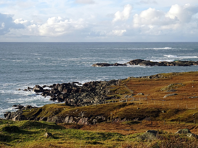
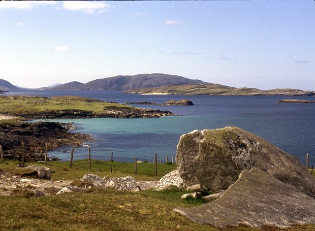
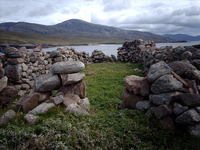
Àird Bhreinis is a prominent coastal feature located in Ross-shire, in the Scottish Highlands. It is a headland that stretches out into the North Atlantic Ocean, forming a dynamic and picturesque point. The name "Àird Bhreinis" is derived from the Scottish Gaelic language and translates to "Brenish Point" in English.
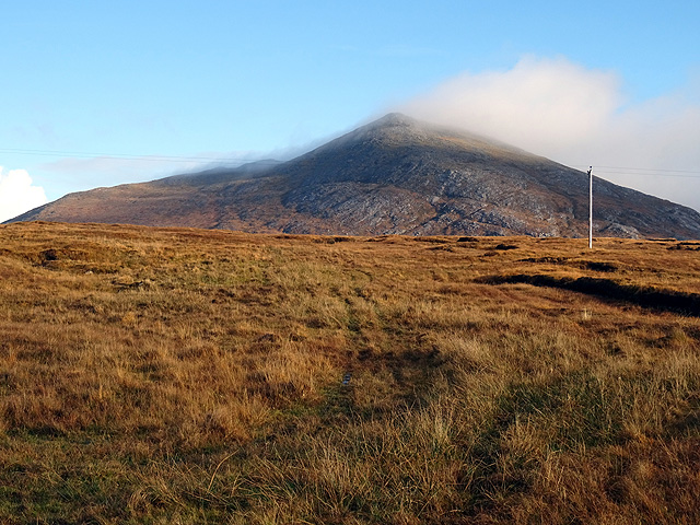
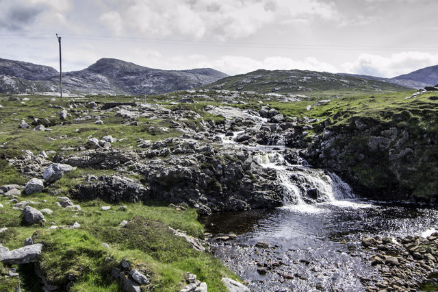
This headland is known for its rugged and rocky terrain, offering breathtaking panoramic views of the surrounding landscape. The cliffs that line the coastline are made up of various geological formations, including sandstone and limestone, which have been shaped over centuries by the relentless pounding of the ocean waves.
The area surrounding Àird Bhreinis is abundant in marine life, making it a popular spot for fishing enthusiasts. The coastal waters teem with an array of fish species, including cod, haddock, and mackerel. Seabirds such as gannets, puffins, and guillemots can also be spotted nesting on the cliffs, adding to the area's natural beauty.
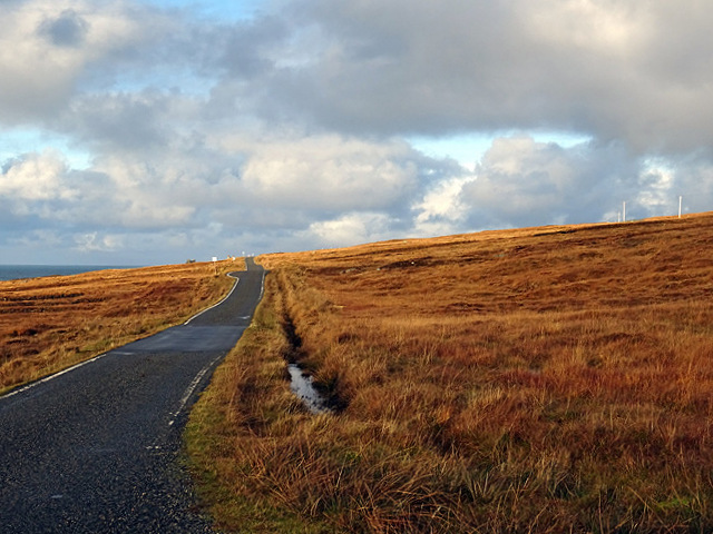
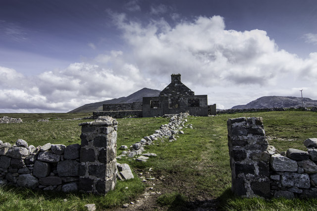
Access to Àird Bhreinis is relatively easy, with a well-maintained footpath leading to the headland. Visitors can enjoy leisurely walks along the cliff tops, taking in the breathtaking scenery and observing the diverse wildlife. The headland also offers opportunities for photography, as the dramatic cliffs and crashing waves create a stunning backdrop.
Overall, Àird Bhreinis is a captivating coastal feature in Ross-shire, offering a unique blend of rugged landscapes, abundant marine life, and breathtaking views. It is a must-visit destination for nature lovers and outdoor enthusiasts seeking to explore the beauty of the Scottish Highlands.
If you have any feedback on the listing, please let us know in the comments section below.
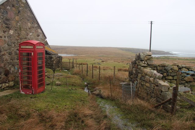
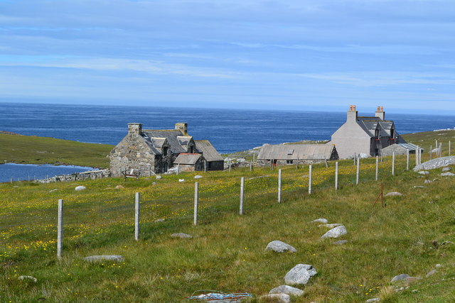
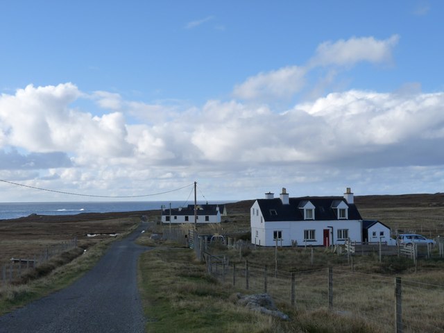
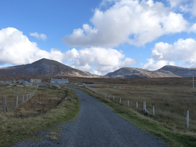
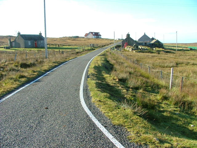
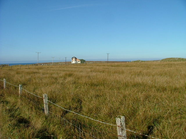
Àird Bhreinis Images
Images are sourced within 2km of 58.128193/-7.1347703 or Grid Reference NA9726. Thanks to Geograph Open Source API. All images are credited.


Àird Bhreinis is located at Grid Ref: NA9726 (Lat: 58.128193, Lng: -7.1347703)
Unitary Authority: Na h-Eileanan an Iar
Police Authority: Highlands and Islands
What 3 Words
///voltages.twirls.brush. Near Carloway, Na h-Eileanan Siar
Related Wikis

Brenish
Brenish (Scottish Gaelic: Brèinis) is a small village situated on the west coast of the Isle of Lewis, which is part of the Outer Hebrides of Scotland...

Mealista
Mealista (Scottish Gaelic: Mealasta) was a township in the west of the Isle of Lewis. It is currently largely uninhabited due to the Highland Clearances...

Game pieces of the Lewis chessmen hoard
The game pieces of the Lewis chessmen hoard consist of ninety-three game pieces of the Lewis chessmen found on the Isle of Lewis in the Outer Hebrides...

Eilean Mhealasta
Eilean Mhealasta (Mealista Island) is an uninhabited island off the west coast of Lewis in the Outer Hebrides of Scotland. It takes its name from Mealista...
Nearby Amenities
Located within 500m of 58.128193,-7.1347703Have you been to Àird Bhreinis?
Leave your review of Àird Bhreinis below (or comments, questions and feedback).