Geo an t-Samh
Coastal Feature, Headland, Point in Inverness-shire
Scotland
Geo an t-Samh

The requested URL returned error: 429 Too Many Requests
If you have any feedback on the listing, please let us know in the comments section below.
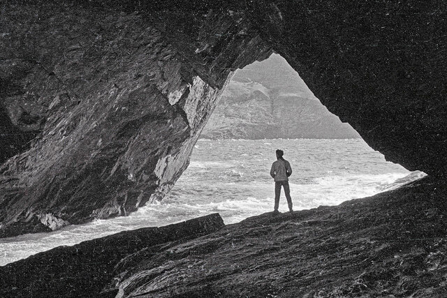
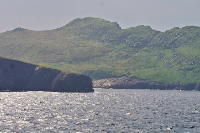
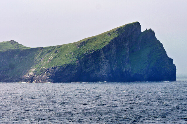
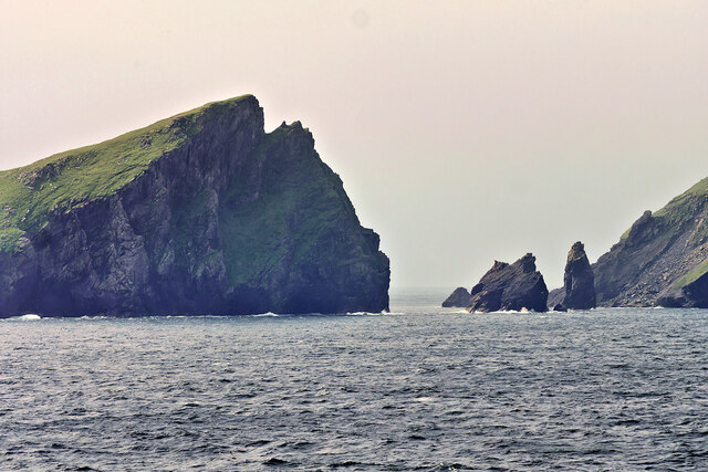
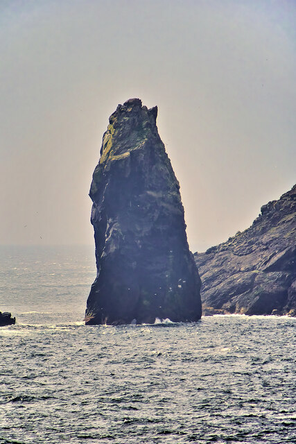
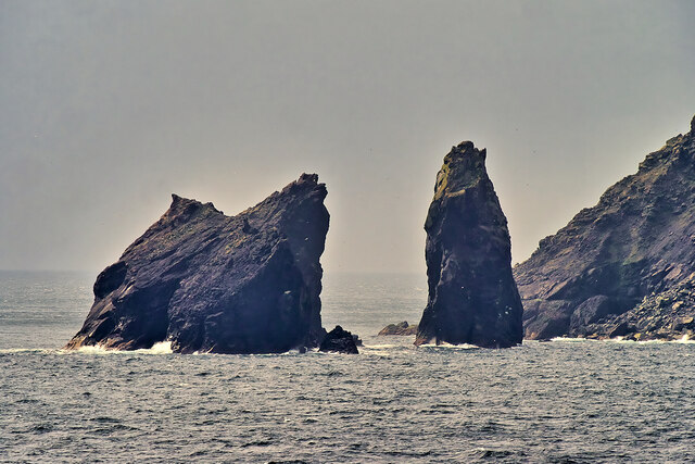
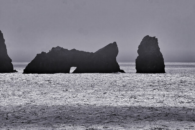
Geo an t-Samh Images
Images are sourced within 2km of 57.826029/-8.5893456 or Grid Reference NA0900. Thanks to Geograph Open Source API. All images are credited.


Geo an t-Samh is located at Grid Ref: NA0900 (Lat: 57.826029, Lng: -8.5893456)
Unitary Authority: Na h-Eileanan an Iar
Police Authority: Highlands and Islands
What 3 Words
///gadget.offshore.gossiped. Near Balivanich, Na h-Eileanan Siar
Nearby Locations
Related Wikis

St Kilda, Scotland
St Kilda (Scottish Gaelic: Hiort) is an isolated archipelago situated 64 kilometres (40 mi) west-northwest of North Uist in the North Atlantic Ocean. It...

Hirta
Hirta (Scottish Gaelic: Hiort) is the largest island in the St Kilda archipelago, on the western edge of Scotland. The names Hiort (in Scottish Gaelic...

Stac Biorach
Stac Biorach (Scottish Gaelic: "the pointed stack") is a sea stack, 73 metres tall, situated between Hirta and Soay (in the "Sound of Soay") in the St...

Soay, St Kilda
Soay (Scottish Gaelic: Soaigh) is an uninhabited islet in the St Kilda archipelago, Scotland. The name is from Old Norse Seyðoy, meaning 'island of sheep...
Nearby Amenities
Located within 500m of 57.826029,-8.5893456Have you been to Geo an t-Samh?
Leave your review of Geo an t-Samh below (or comments, questions and feedback).