Ha' Cove

Sea, Estuary, Creek in Kincardineshire

Scotland

Ha' Cove

Church Street, Inverbervie Looking north-westward from beside Bervie School.
Church Street, Inverbervie Credit: Peter Wood

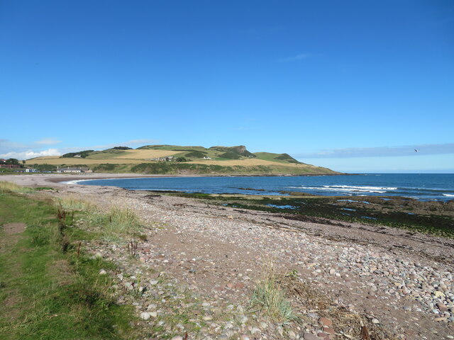
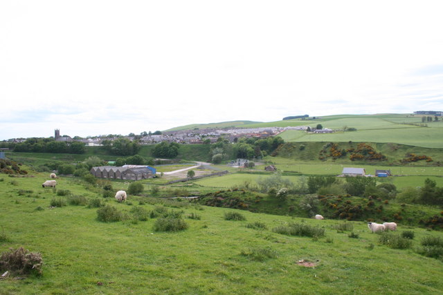
Ha' Cove is a picturesque and serene coastal area located in Kincardineshire, Scotland. Nestled between the North Sea and the mouth of the River Dee, it boasts a stunning blend of natural beauty and historical significance. This small, sheltered bay is often referred to as a sea, estuary, or creek due to its unique geographical features.

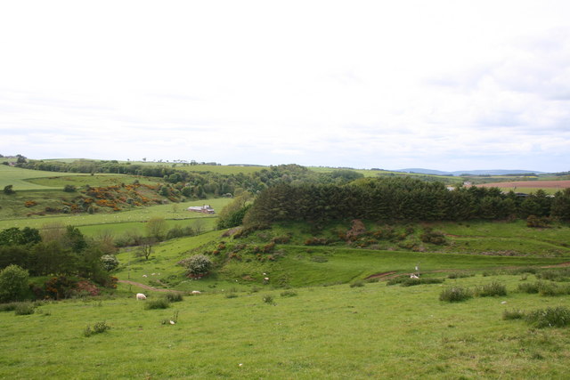
The cove is characterized by its rocky coastline, which is adorned with vibrant green vegetation and rugged cliffs, providing a dramatic backdrop to the sparkling blue waters. It serves as a popular destination for nature lovers and outdoor enthusiasts, offering breathtaking views of the sea and the surrounding landscape.

The estuary of the River Dee flows into Ha' Cove, creating a haven for various species of marine life. The area is a haven for birdwatchers, as it attracts a diverse range of seabirds and waders, including oystercatchers, curlews, and terns. The cove is also home to a variety of fish species, making it a favored spot for anglers seeking a rewarding catch.

The history of Ha' Cove is intertwined with its maritime heritage. In the past, it served as a bustling fishing port, with fishermen venturing out to sea in their traditional boats. The remnants of this industry can still be seen, such as old fishing huts and boat sheds that line the shore.

Today, Ha' Cove offers a peaceful retreat for visitors seeking tranquility and natural beauty. Whether it's exploring the rocky shoreline, enjoying a leisurely walk along the beach, or simply taking in the breathtaking views, this coastal gem is sure to captivate all who visit.

If you have any feedback on the listing, please let us know in the comments section below.
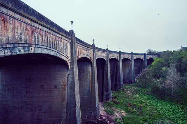
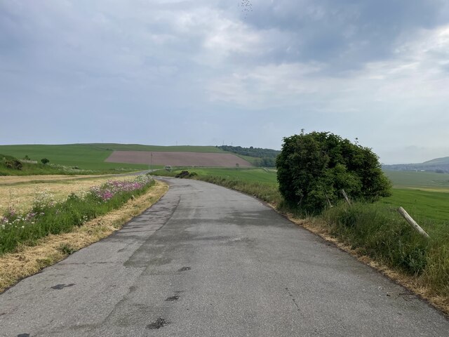
Ha' Cove Images

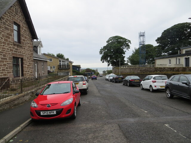
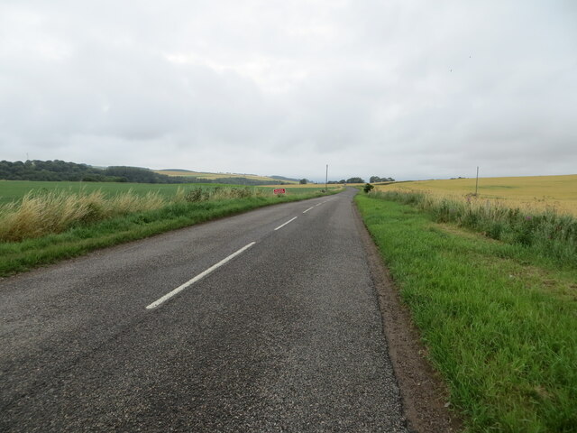
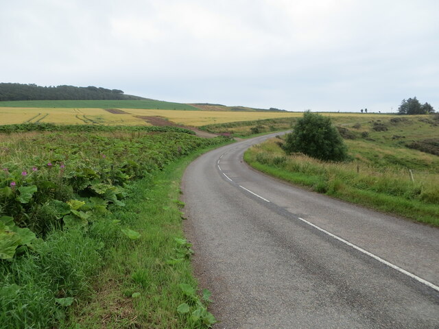
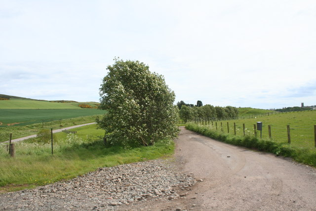
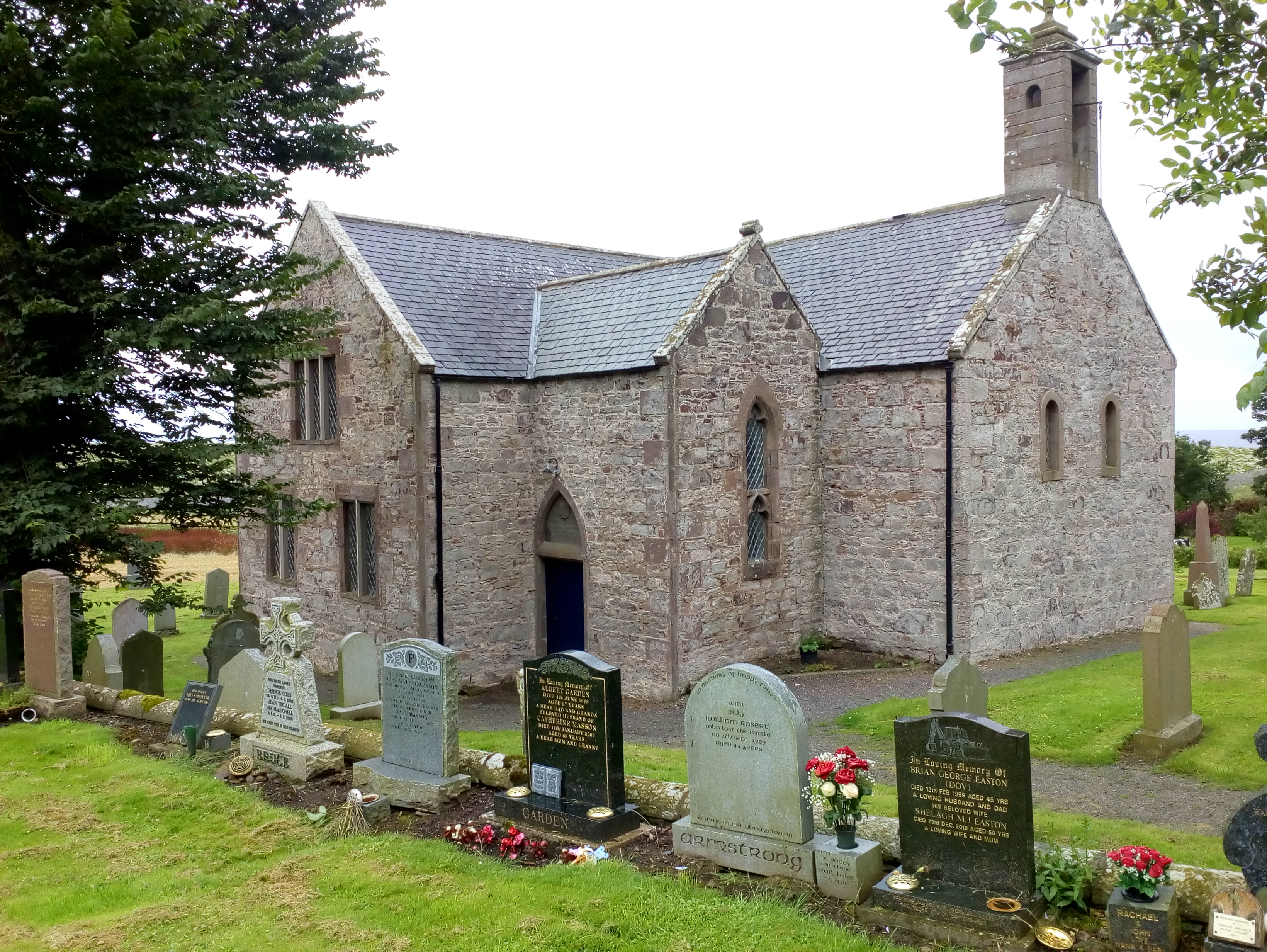
Images are sourced within 2km of 56.851694/-2.2520671 or Grid Reference NO8473. Thanks to Geograph Open Source API. All images are credited.

Church Street, Inverbervie Looking north-westward from beside Bervie School.
Church Street, Inverbervie
Looking north-westward from beside Bervie School.
Kirk Burn, Inverbervie Looking south-eastward from near to the Fire Station.
Kirk Burn, Inverbervie
Looking south-eastward from near to the Fire Station.
Road (B967) near to Pitcarry Looking north-westward.
Road (B967) near to Pitcarry
Looking north-westward.
Road (B967) approaching the A92 and Inverbervie Looking south-eastward.
Road (B967) approaching the A92 and Inverbervie
Looking south-eastward.
Flowering boat Inverbervie An old boat finds a new use on the green above the beach at Inverbervie.
Flowering boat Inverbervie
An old boat finds a new use on the green above the beach at Inverbervie.
Beach at Inverbervie Pebble beach with rocky reefs along the shoreline.
Beach at Inverbervie
Pebble beach with rocky reefs along the shoreline.
Sill exposed on Darn Bay cliff The sill runs from half way up the left of the frame to the top of the cliff on the right in a very flattened S curve. Samples taken on 22 Dec 21 were consistent with lava. If this is an offshoot of the dyke shown on the BGS overlay about 100m to the left (W), then it is a 'North Britain Siluro-devonian Calc-alkaline Dyke Suite - Microgranite'. The rest of the cliffs are Gourdon conglomerate with interbedded sandstone layers.
Sill exposed on Darn Bay cliff
The sill runs from half way up the left of the frame to the top of the cliff on the right in a very flattened S curve. Samples taken on 22 Dec 21 were consistent with lava. If this is an offshoot of the dyke shown on the BGS overlay about 100m to the left (W), then it is a 'North Britain Siluro-devonian Calc-alkaline Dyke Suite - Microgranite'. The rest of the cliffs are Gourdon conglomerate with interbedded sandstone layers.
Coarse conglomerate in the cliffs above Darn Bay Some of the rounded stones are getting on for a metre across - compare the fence posts above. The BGS has 'Rob's Cove Conglomerate Member - Conglomerate'
Coarse conglomerate in the cliffs above Darn Bay
Some of the rounded stones are getting on for a metre across - compare the fence posts above. The BGS has 'Rob's Cove Conglomerate Member - Conglomerate'
Ordnance Survey Flush Bracket S7021 This bracket can be found on the wall of Bervie School, Inverbervie.
The recorded details give a height of 28.805 metres above sea level.
For more detail see : <span class="nowrap"><a title="https://www.bench-marks.org.uk/bm488" rel="nofollow ugc noopener" href="https://www.bench-marks.org.uk/bm488">Link</a><img style="margin-left:2px;" alt="External link" title="External link - shift click to open in new window" src="https://s1.geograph.org.uk/img/external.png" width="10" height="10"/></span>
Ordnance Survey Flush Bracket S7021
This bracket can be found on the wall of Bervie School, Inverbervie. The recorded details give a height of 28.805 metres above sea level. For more detail see : LinkExternal link
Ordnance Survey Cut Mark with Bolt This mark can be found on the wall of Bervie Church, Inverbervie.
The recorded details give a height of 28.973 metres above sea level.
For more detail see : <span class="nowrap"><a title="https://www.bench-marks.org.uk/bm126448" rel="nofollow ugc noopener" href="https://www.bench-marks.org.uk/bm126448">Link</a><img style="margin-left:2px;" alt="External link" title="External link - shift click to open in new window" src="https://s1.geograph.org.uk/img/external.png" width="10" height="10"/></span>
Ordnance Survey Cut Mark with Bolt
This mark can be found on the wall of Bervie Church, Inverbervie. The recorded details give a height of 28.973 metres above sea level. For more detail see : LinkExternal link
Bervie Parish Church The parish church on King Street in the centre of Inverbervie, with the war memorial in front.
Bervie Parish Church
The parish church on King Street in the centre of Inverbervie, with the war memorial in front.
Bervie Bowling Club The bowling green from Kirkburn in Inverbervie.
Bervie Bowling Club
The bowling green from Kirkburn in Inverbervie.
From one bridge to another Standing on the Bervie Bridge looking at the Bervie Jubilee bridge
From one bridge to another
Standing on the Bervie Bridge looking at the Bervie Jubilee bridge
A lay-by on the A92
A lay-by on the A92
Sheep above Bervie Sheep grazing by Inverbervie separated from the village by the gorge formed by the Pitcarry Burn.
Sheep above Bervie
Sheep grazing by Inverbervie separated from the village by the gorge formed by the Pitcarry Burn.
Pitscarry Course The depression of the Pitscarry Burn as it joins the Bervie Water.
Pitscarry Course
The depression of the Pitscarry Burn as it joins the Bervie Water.
Pitscarry Mill The access road to Pitscarry Mill by Inverbervie.
Pitscarry Mill
The access road to Pitscarry Mill by Inverbervie.
Boat, Inverbervie Beside the coast path, and trackbed of the Montrose and Bervie Railway.
Boat, Inverbervie
Beside the coast path, and trackbed of the Montrose and Bervie Railway.
Show me another place!

Ha' Cove is located at Grid Ref: NO8473 (Lat: 56.851694, Lng: -2.2520671)

Unitary Authority: Aberdeenshire

Police Authority: North East

What 3 Words

///recitals.princes.outfit. Near Inverbervie, Aberdeenshire

Related Wikis

Bervie Water

Bervie Water (Scottish Gaelic: Uisge Bhiorbhaigh) is a river in Aberdeenshire, Scotland which rises in the Drumtochty Forest and flows across The Mearns...

Kinneff

Kinneff is a roadside hamlet in Aberdeenshire, Scotland, just north of Inverbervie. To the north lies another hamlet, Catterline. Kinneff also has a primary...

Inverbervie railway station

Bervie railway station served the town of Inverbervie, Aberdeenshire, Scotland from 1865 to 1966 on the Montrose and Bervie Railway. == History == The...

Inverbervie Town House

Inverbervie Town House is a municipal structure in Church Street in Inverbervie, Aberdeenshire, Scotland. The structure, which is primarily used as a public...

Nearby Amenities

Located within 500m of 56.851694,-2.2520671
Source: PGS
Lat/Long: 56.8478199/-2.2560513
Source: PGS
Lat/Long: 56.8485497/-2.2563316
Source: PGS
Lat/Long: 56.848378/-2.2552216
Source: PGS
Lat/Long: 56.8487048/-2.25459
Source: PGS
Lat/Long: 56.849475/-2.254614
Source: PGS
Lat/Long: 56.8497757/-2.2544077
Source: PGS
Lat/Long: 56.8498929/-2.2543761
Source: PGS
Lat/Long: 56.8503784/-2.2549213
Source: PGS
Lat/Long: 56.8502039/-2.2537815
Source: PGS
Lat/Long: 56.8504805/-2.2531779
Source: PGS
Lat/Long: 56.8511887/-2.2524825
Source: PGS
Lat/Long: 56.8516948/-2.2523343
Source: PGS
Lat/Long: 56.8522278/-2.2516275
Created By: almien_coastlines
Source: PGS
Lat/Long: 56.852545/-2.251535
Source: PGS
Lat/Long: 56.853496/-2.2508991
Source: PGS
Lat/Long: 56.8540566/-2.2506738
Source: PGS
Lat/Long: 56.8542833/-2.2506738
Source: PGS
Lat/Long: 56.8546118/-2.2502875
Source: PGS
Lat/Long: 56.8549617/-2.2495242
Source: PGS
Lat/Long: 56.8552307/-2.2490859
Source: PGS
Lat/Long: 56.8553093/-2.2485994
Har Cove
Natural: bay
Lat/Long: 56.8517355/-2.2521651
Barn Bay
Natural: bay
Lat/Long: 56.8536835/-2.2484958
Big Rob's Cove
Natural: bay
Lat/Long: 56.850175/-2.2544181
Rob's Cove
Natural: bay
Lat/Long: 56.8481629/-2.2557807
The data included in this document is from www.openstreetmap.org. The data is made available under ODbL.

Have you been to Ha' Cove?

Leave your review of Ha' Cove below (or comments, questions and feedback).