Ogof Ffwrn
Sea, Estuary, Creek in Pembrokeshire
Wales
Ogof Ffwrn

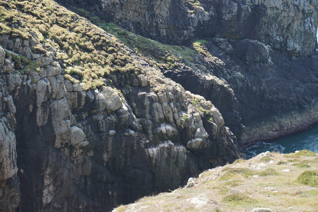
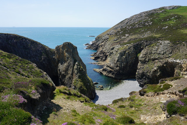
Ogof Ffwrn is a coastal feature located in Pembrokeshire, Wales. It consists of a sea, estuary, and creek, offering a diverse range of natural beauty and recreational opportunities. The name "Ogof Ffwrn" translates to "cave of the furnace" in English, reflecting the area's historical significance as a mining site.
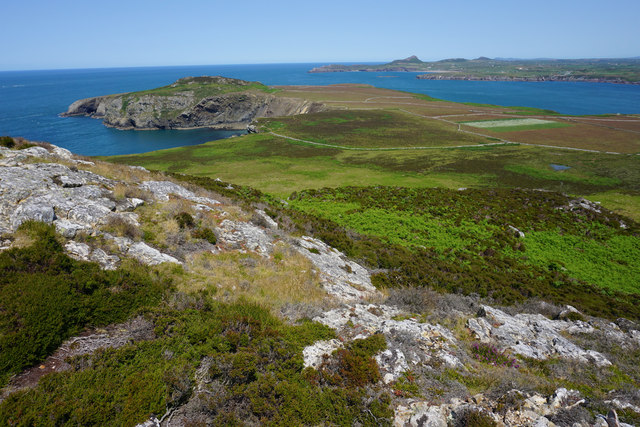
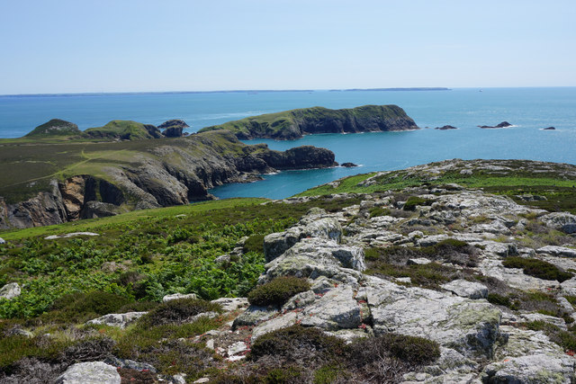
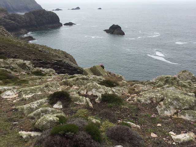
The sea at Ogof Ffwrn is part of the Celtic Sea, providing a stunning backdrop of deep blue waters and dramatic cliffs. It is a popular spot for water activities such as swimming, surfing, and fishing. The sea is also home to a rich marine ecosystem, attracting divers and wildlife enthusiasts.
The estuary at Ogof Ffwrn is formed where a river meets the sea, creating a unique habitat for various species of birds, fish, and plants. The estuary is characterized by its muddy banks and shallow waters, making it an ideal spot for birdwatching and kayaking.
The creek at Ogof Ffwrn is a narrow waterway that branches off from the estuary. It winds its way through marshes and meadows, offering a tranquil setting for nature walks and picnics. The creek is also home to a variety of wildlife, including otters, herons, and kingfishers.
Overall, Ogof Ffwrn is a picturesque coastal area that showcases the beauty of Wales' natural landscape. Its combination of sea, estuary, and creek provides a diverse range of recreational opportunities and makes it a popular destination for nature lovers and outdoor enthusiasts.
If you have any feedback on the listing, please let us know in the comments section below.
Ogof Ffwrn Images
Images are sourced within 2km of 51.849522/-5.3391427 or Grid Reference SM7022. Thanks to Geograph Open Source API. All images are credited.


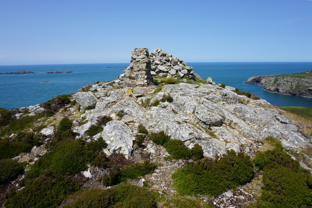
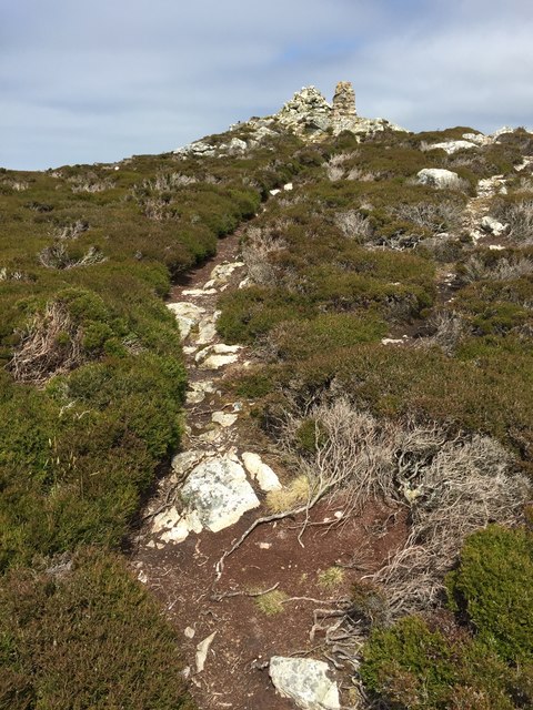
![Carnllundain Boat from St Justinian then a 3 TUMP island circuit on a sunny day, Carnysgubor, Carnllundain and finally Foel Fawr.
Name: Carnllundain
Hill number: 5252
Height: 136m / 446ft
Parent (Ma/M): none
Section: 31C: South-West Wales
County/UA: Pembrokeshire [Sir Benfro] (CoU)
Island: Ramsey
Maritime Area: Pembrokeshire Coast - West
Class: Hump, Tump (100-199m), SIB
Grid ref: SM 69612 23462
Summit feature: cairn 2m N of trig point
Drop: 136m
Col: Sea](https://s0.geograph.org.uk/geophotos/04/66/14/4661488_ed7e1fc9.jpg)
Ogof Ffwrn is located at Grid Ref: SM7022 (Lat: 51.849522, Lng: -5.3391427)
Unitary Authority: Pembrokeshire
Police Authority: Dyfed Powys
What 3 Words
///goodness.cello.marker. Near St Davids, Pembrokeshire
Nearby Locations
Related Wikis

Ynys Bery
Ynys Bery is a small island south of Ramsey Island, Pembrokeshire, Wales, in the community of St David's and the Cathedral Close. == Etymology == The island...

Ramsey Island
Ramsey Island (Welsh: Ynys Dewi) is an island about 1 kilometre (1⁄2 nautical mile) off St David's Head in Pembrokeshire on the northern side of St Brides...

Carnllundain
Carnllundain or Carn Llundain is the highest elevation of Ramsey Island in Pembrokeshire, Wales. == Geography == The 136-metre (446 ft) high hill stands...

The Bitches
The Bitches (also known as Bitches and Whelps) are a tidal race and set of rocks between Ramsey Island and the west Welsh coastline near St Davids. They...
Pen Dal-aderyn
Pen Dal-aderyn is the westernmost point of mainland Wales. It is in Pembrokeshire, west of St Davids. It means 'Bird-catching Head' in Welsh. == External... ==

St Justinian
St Justinian (or St Justinian's or St Justinians; Welsh: Porth Stinan) is a coastal location of indeterminate area in the extreme northwest of Pembrokeshire...

St Justinian's Chapel
St Justinian's Chapel in Pembrokeshire, Wales, is now a roofless shell; the current structure was probably erected in the 16th century on earlier foundations...
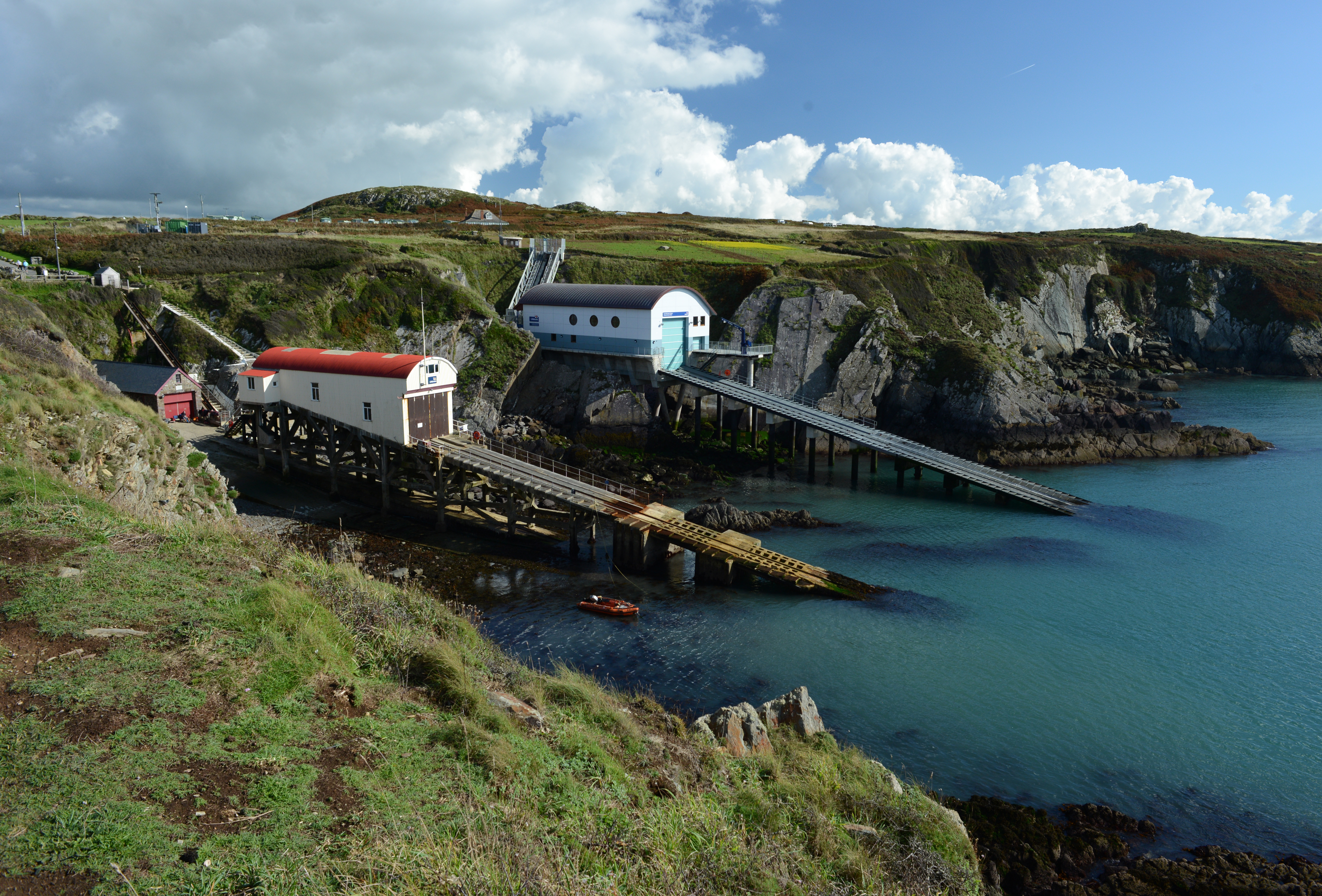
St Davids Lifeboat Station
St Davids Lifeboat Station (based in St Justinian, St Davids, Pembrokeshire, Wales) is a Royal National Lifeboat Institution (RNLI) station. It was opened...
Have you been to Ogof Ffwrn?
Leave your review of Ogof Ffwrn below (or comments, questions and feedback).