Beach of Mail

Beach in Shetland

Scotland

Beach of Mail

Mail Burial Ground Adjacent to the sea as is usual on Scottish islands.
Mail Burial Ground Credit: Oliver Dixon

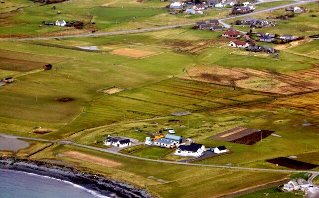
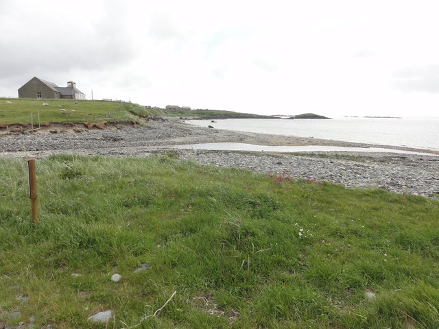
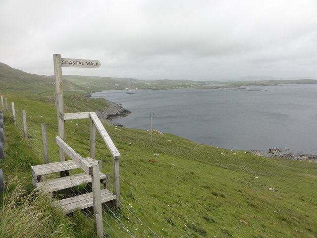
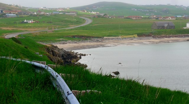
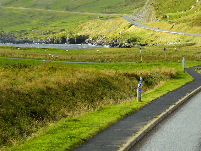
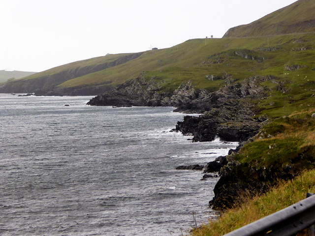
Beach of Mail is a picturesque beach located on the island of Shetland, situated off the northeast coast of Scotland. It is known for its pristine beauty and untouched natural surroundings. The beach is nestled in a small bay, offering stunning views of the North Sea and the surrounding rugged cliffs.

The Beach of Mail is characterized by its soft golden sand, which stretches for approximately 500 meters along the coastline. The sand is perfect for leisurely walks, sunbathing, and building sandcastles. The crystal-clear waters of the North Sea provide an inviting opportunity for swimming, although the water can be chilly due to the northern location.

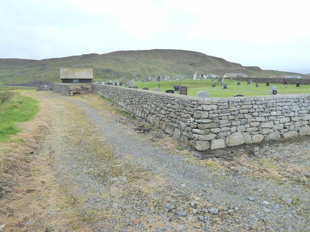
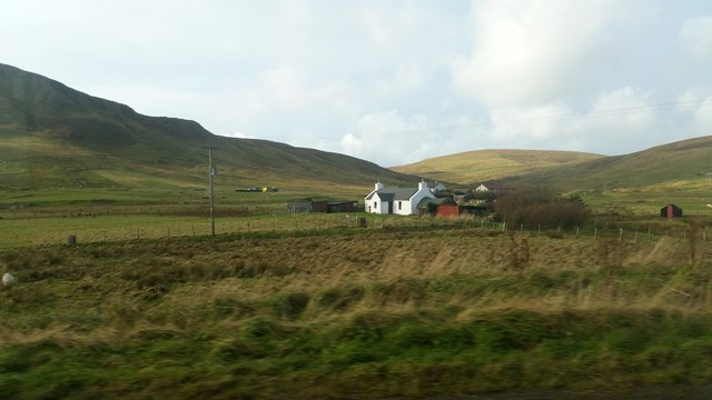
The beach is surrounded by rolling green hills, creating a sense of seclusion and tranquility. It is a popular spot for picnics and relaxation, with ample space for visitors to spread out and enjoy the peaceful atmosphere. The absence of crowds and commercial development adds to the charm of Beach of Mail, making it an ideal retreat for those seeking solace in nature.

Wildlife enthusiasts will appreciate the abundance of birdlife that can be observed from the beach, including puffins, seagulls, and cormorants. The coastal cliffs also offer excellent opportunities for birdwatching and provide nesting grounds for various seabird species.

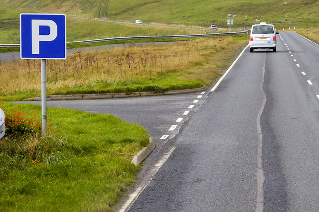
Access to the Beach of Mail is fairly easy, with a small car park nearby and a short walk down to the shore. Facilities are limited, so visitors should come prepared with their own food, water, and necessary amenities.

Overall, Beach of Mail in Shetland is a hidden gem, offering a serene and unspoiled coastal experience for nature lovers and those seeking a respite from the hustle and bustle of everyday life.

If you have any feedback on the listing, please let us know in the comments section below.

Beach of Mail Images

Images are sourced within 2km of 60.033652/-1.2244007 or Grid Reference HU4327. Thanks to Geograph Open Source API. All images are credited.

Mail Burial Ground Adjacent to the sea as is usual on Scottish islands.
Mail Burial Ground
Adjacent to the sea as is usual on Scottish islands.
Greenmow and Helli Ness, Cunningsburgh, from the air
South Voxter, Cunningsburgh, from the air
Mail, Cunningsburgh, from the air
Shoreline with joining stream Small sandy pebble beach with joining stream to the sea
Shoreline with joining stream
Small sandy pebble beach with joining stream to the sea
Road bridge Road bridge buttress as it passes over the stream. It should have been the location of an Ordnance Survey OSBM Bolt, which seems to have been destroyed in the rebuilding of the road.
Road bridge
Road bridge buttress as it passes over the stream. It should have been the location of an Ordnance Survey OSBM Bolt, which seems to have been destroyed in the rebuilding of the road.
Coastal Walk View out to sea and the Coastal Walk stile
Coastal Walk
View out to sea and the Coastal Walk stile
House under renovation, Cunningsburgh
Vadsgarth, Cunningsburgh
Small beach at the Sands of Mail The road is the A970 approaching Cunningsburgh.
Small beach at the Sands of Mail
The road is the A970 approaching Cunningsburgh.
A970 at Cunningsburgh Cunningsburgh, formerly also known as Coningsburgh (from the Old Norse: Konungsborgr meaning "King's castle"), is a hamlet on the coast of Mainland Shetland, nine miles south-west of Lerwick, about halfway between there and Sumburgh Head.
A970 at Cunningsburgh
Cunningsburgh, formerly also known as Coningsburgh (from the Old Norse: Konungsborgr meaning "King's castle"), is a hamlet on the coast of Mainland Shetland, nine miles south-west of Lerwick, about halfway between there and Sumburgh Head.
Bus Stop at Cunningsburgh Bus stop outside Cunningsburgh Primary School.
Bus Stop at Cunningsburgh
Bus stop outside Cunningsburgh Primary School.
Bus Stop on the A970 at Cunningsburgh Cunningsburgh, formerly also known as Coningsburgh (from the Old Norse: Konungsborgr meaning "King's castle"), is a hamlet on the coast of Mainland Shetland, nine miles south-west of Lerwick, about halfway between there and Sumburgh Head.
Bus Stop on the A970 at Cunningsburgh
Cunningsburgh, formerly also known as Coningsburgh (from the Old Norse: Konungsborgr meaning "King's castle"), is a hamlet on the coast of Mainland Shetland, nine miles south-west of Lerwick, about halfway between there and Sumburgh Head.
Bus Stop at Cunningsburgh Cunningsburgh, formerly also known as Coningsburgh (from the Old Norse: Konungsborgr meaning "King's castle"), is a hamlet on the coast of Mainland Shetland, nine miles south-west of Lerwick, about halfway between there and Sumburgh Head.
Bus Stop at Cunningsburgh
Cunningsburgh, formerly also known as Coningsburgh (from the Old Norse: Konungsborgr meaning "King's castle"), is a hamlet on the coast of Mainland Shetland, nine miles south-west of Lerwick, about halfway between there and Sumburgh Head.
Coastal Sheep Farm near Mail
Cunningsburgh, A970 Cunningsburgh, formerly also known as Coningsburgh (from the Old Norse: Konungsborgr meaning "King's castle"), is a hamlet on the coast of Mainland Shetland, nine miles south-west of Lerwick, about halfway between there and Sumburgh Head.
Cunningsburgh, A970
Cunningsburgh, formerly also known as Coningsburgh (from the Old Norse: Konungsborgr meaning "King's castle"), is a hamlet on the coast of Mainland Shetland, nine miles south-west of Lerwick, about halfway between there and Sumburgh Head.
Rocky Shoreline near Mail
Southbound A970, Layby near Mail The A970 runs for 71 miles across most of the length of the "Mainland" in the Shetland Islands. It is a good-quality single-carriageway road for most of its route. Travelling from south to north, the road begins at Grutness near Sumburgh Airport and winds around the many hills and inlets passing close to a number of small villages without going through any large ones before Lerwick. After looping around Lerwick, a short spur runs to Scalloway whilst the main route continues northwards towards Brae where it crosses the narrow isthmus of Mavis Grind. At Sandy Lochs the road splits and a four-mile spur goes through Urafirth to Hillswick. The main route continuing to the right towards its northern terminus at Isbister. This last part of the route tends to be narrower with passing places.

<span class="nowrap"><a title="https://www.sabre-roads.org.uk/wiki/index.php?title=A970" rel="nofollow ugc noopener" href="https://www.sabre-roads.org.uk/wiki/index.php?title=A970">Link</a><img style="margin-left:2px;" alt="External link" title="External link - shift click to open in new window" src="https://s1.geograph.org.uk/img/external.png" width="10" height="10"/></span>  SABRE
Southbound A970, Layby near Mail
The A970 runs for 71 miles across most of the length of the "Mainland" in the Shetland Islands. It is a good-quality single-carriageway road for most of its route. Travelling from south to north, the road begins at Grutness near Sumburgh Airport and winds around the many hills and inlets passing close to a number of small villages without going through any large ones before Lerwick. After looping around Lerwick, a short spur runs to Scalloway whilst the main route continues northwards towards Brae where it crosses the narrow isthmus of Mavis Grind. At Sandy Lochs the road splits and a four-mile spur goes through Urafirth to Hillswick. The main route continuing to the right towards its northern terminus at Isbister. This last part of the route tends to be narrower with passing places. LinkExternal link SABRE
Show me another place!

Beach of Mail is located at Grid Ref: HU4327 (Lat: 60.033652, Lng: -1.2244007)

Unitary Authority: Shetland Islands

Police Authority: Highlands and Islands

What 3 Words

///looked.enjoys.pops. Near Sandwick, Shetland Islands

Related Wikis

Mail, Shetland

Mail is a hamlet on the island of Mainland, in the Shetland Islands, Scotland. == Geography == Mail is located on the south-eastern side of the island...

Catpund

Catpund is a quarry site in Shetland, Scotland, where steatite vessels were cut from the rock from prehistory onwards. The quarrying marks are still visible...

Bremirehoull

Bremirehoull is a settlement on the island of Mainland, in Shetland, Scotland. Bremirehoull is situated on the A970 in the Cunningsburgh area. == References... ==

Cunningsburgh

Cunningsburgh, formerly also known as Coningsburgh (Old Norse: Konungsborgr meaning "King's castle"), is a new hamlet and ancient parish in the south of...

Nearby Amenities

Located within 500m of 60.033652,-1.2244007
Mail
Place: hamlet
Wikidata: Q6735662
Wikipedia: en:Mail, Shetland
Lat/Long: 60.0349959/-1.2280637
South Voxter
Place: hamlet
Lat/Long: 60.0354343/-1.2180004
Power: pole
Lat/Long: 60.0353677/-1.221457
Power: pole
Lat/Long: 60.0350783/-1.2242599
Power: pole
Lat/Long: 60.0355124/-1.2207409
Power: pole
Lat/Long: 60.0352967/-1.2220927
Power: pole
Lat/Long: 60.0351748/-1.2231951
Bus Stop
Bus: yes
Naptan AtcoCode: 6030122
Naptan NaptanCode: 45823937
Public Transport: platform
Shelter: yes
Lat/Long: 60.0355822/-1.2318474
Power: pole
Lat/Long: 60.0345857/-1.2324454
Power: pole
Lat/Long: 60.0346648/-1.2311365
Power: pole
Lat/Long: 60.0348272/-1.2284623
Passing Place
Lat/Long: 60.0347694/-1.2270713
Power: pole
Lat/Long: 60.0347432/-1.2298678
Street Lamp
Lat/Long: 60.0356953/-1.2313645
Street Lamp
Lat/Long: 60.0359398/-1.2310909
Power: pole
Lat/Long: 60.0349036/-1.2272298
Power: pole
Lat/Long: 60.0349843/-1.2259813
Street Lamp
Lat/Long: 60.0366719/-1.2303774
Street Lamp
Lat/Long: 60.0364228/-1.2306054
Street Lamp
Lat/Long: 60.036195/-1.2308428
Street Lamp
Lat/Long: 60.0369311/-1.2301602
Mail War Memorial
Historic: memorial
Wikidata: Q107612875
Lat/Long: 60.0339463/-1.2257418
Power: pole
Lat/Long: 60.0345596/-1.2273717
Power: pole
Lat/Long: 60.0343064/-1.2270076
The data included in this document is from www.openstreetmap.org. The data is made available under ODbL.

Have you been to Beach of Mail?

Leave your review of Beach of Mail below (or comments, questions and feedback).