Ayre of Skea

Beach in Shetland

Scotland

Ayre of Skea

Track to Calsta, North Roe
Track to Calsta, North Roe Credit: Mike Pennington

Ayre of Skea is a stunning beach located on the remote island of Shetland, situated off the northeast coast of Scotland. With its unspoiled beauty and pristine sands, it is a popular destination for both locals and tourists seeking a tranquil escape.

Stretching for approximately half a mile, Ayre of Skea boasts breathtaking views of the North Sea and the surrounding rugged cliffs. The beach is known for its soft golden sand, which is perfect for long walks or simply relaxing and soaking up the peaceful atmosphere. The crystal-clear waters are relatively calm, making it an ideal spot for swimming, paddleboarding, or kayaking.

The beach is backed by low sand dunes, which provide a natural barrier from the elements and offer a sense of seclusion. Visitors can explore the dunes and discover a variety of native plant species, such as sea rocket and marram grass, which thrive in this unique coastal habitat.

Ayre of Skea is also a haven for wildlife enthusiasts. The surrounding cliffs are home to numerous seabird colonies, including puffins, guillemots, and razorbills. It is not uncommon to spot seals basking on nearby rocks or dolphins gracefully swimming in the distance.

While Ayre of Skea may be remote and peaceful, it is not entirely isolated. There are a few nearby amenities, including a small car park and toilets, ensuring visitors have the necessary facilities during their visit.

Overall, Ayre of Skea is a hidden gem on the Shetland Islands, offering a picturesque and serene beach experience that is sure to leave a lasting impression on all who visit.

If you have any feedback on the listing, please let us know in the comments section below.
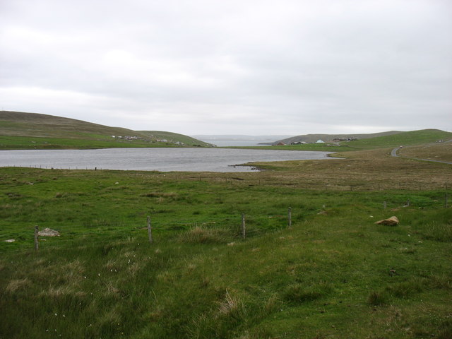
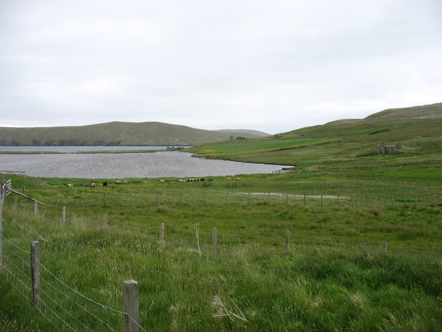
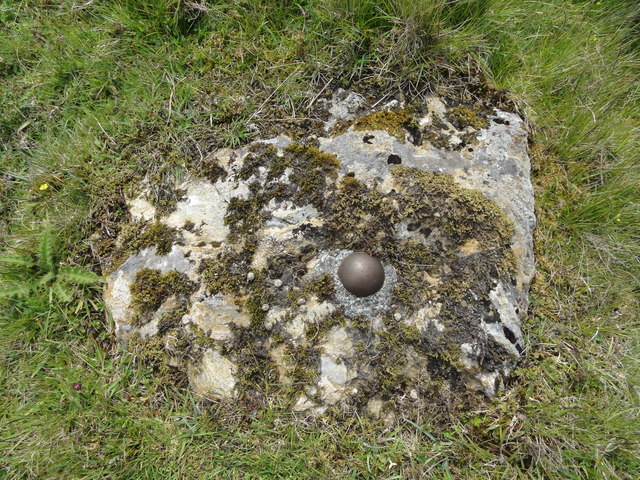
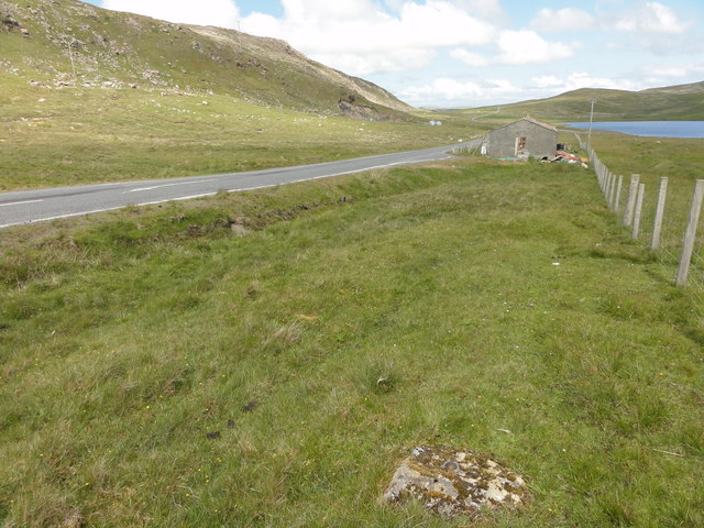
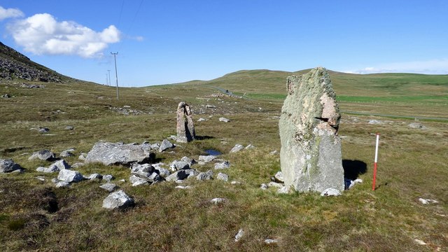
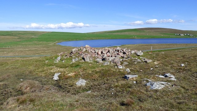
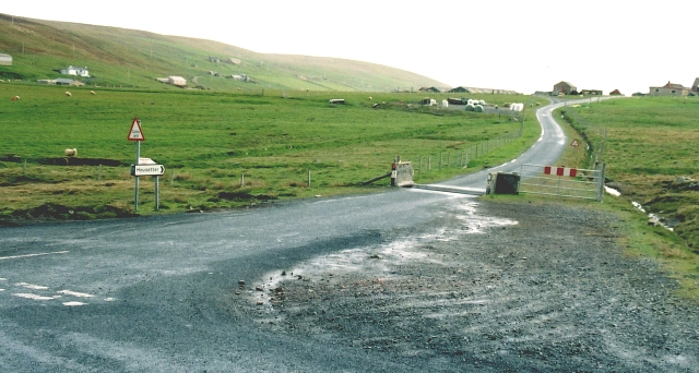
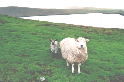
Ayre of Skea Images

Images are sourced within 2km of 60.54999/-1.3145957 or Grid Reference HU3785. Thanks to Geograph Open Source API. All images are credited.

Track to Calsta, North Roe
Track on Billia Field, North Roe
Skelberry, North Roe, from the Colsta track
Track to Colsta on Billia Field, North Roe
Skelberry, North Roe
Purple saxifrage (Saxifraga oppositifolia), Skelberry, North Roe A very local plant in Shetland, only found in North Roe. It is however, widespread in northern latitudes and is Holarctic (found around the Arctic in Eurasia and America).
Purple saxifrage (Saxifraga oppositifolia), Skelberry, North Roe
A very local plant in Shetland, only found in North Roe. It is however, widespread in northern latitudes and is Holarctic (found around the Arctic in Eurasia and America).
The A970 heading south The A970 just comes to a dead stop about 4 km north of here (behind the camera), at Isbister. Looking south, for just under ten miles it is "single track with passing places", but there is so little traffic that it is hardly a problem. After that, and all the way to Sumburgh <a href="https://www.geograph.org.uk/gridref/HU4009">HU4009</a>, 80 km away, it is a splendid road, upgraded (like other main routes on the Shetland Islands) when the oil money was at its peak.
The A970 heading south
The A970 just comes to a dead stop about 4 km north of here (behind the camera), at Isbister. Looking south, for just under ten miles it is "single track with passing places", but there is so little traffic that it is hardly a problem. After that, and all the way to Sumburgh HU4009, 80 km away, it is a splendid road, upgraded (like other main routes on the Shetland Islands) when the oil money was at its peak.
Loch of Housetter The road on the right is, believe it or not, the main A970 on Shetland Mainland. To be fair, this far north it is not exactly busy.
Loch of Housetter
The road on the right is, believe it or not, the main A970 on Shetland Mainland. To be fair, this far north it is not exactly busy.
Housetter and Colla Firth
Ordnance Survey OSBM bolt Ordnance Survey OSBM bolt, described as NEW OSBM BOLT LIVING ROCK 10.8M SE SIDE RD 17.7M SE C CUL (37.306m above Lerwick datum, 2nd order, new 1970).
Ordnance Survey OSBM bolt
Ordnance Survey OSBM bolt, described as NEW OSBM BOLT LIVING ROCK 10.8M SE SIDE RD 17.7M SE C CUL (37.306m above Lerwick datum, 2nd order, new 1970).
View of the A970 from the OS bolt View north of the A970 from the Ordnance Survey benchmark bolt.
View of the A970 from the OS bolt
View north of the A970 from the Ordnance Survey benchmark bolt.
A970 Road A970 road near Skelberry
A970 Road
A970 road near Skelberry
Giant's Grave, Beorgs of Housetter Two large standing stones together with a third recumbent orthostat may be the remains of a facade for a small prehistoric cairn. <span class="nowrap"><a title="https://www.megalithic.co.uk/article.php?sid=6279" rel="nofollow ugc noopener" href="https://www.megalithic.co.uk/article.php?sid=6279">Link</a><img style="margin-left:2px;" alt="External link" title="External link - shift click to open in new window" src="https://s1.geograph.org.uk/img/external.png" width="10" height="10"/></span>
Giant's Grave, Beorgs of Housetter
Two large standing stones together with a third recumbent orthostat may be the remains of a facade for a small prehistoric cairn. LinkExternal link
Trowie Knowe chambered cairn A Neolithic heel shaped chambered cairn with an irregular chamber (Scale 1m). <span class="nowrap"><a title="https://canmore.org.uk/site/834/trowie-knowe-beorgs-of-housetter" rel="nofollow ugc noopener" href="https://canmore.org.uk/site/834/trowie-knowe-beorgs-of-housetter">Link</a><img style="margin-left:2px;" alt="External link" title="External link - shift click to open in new window" src="https://s1.geograph.org.uk/img/external.png" width="10" height="10"/></span>
Trowie Knowe chambered cairn
A Neolithic heel shaped chambered cairn with an irregular chamber (Scale 1m). LinkExternal link
Housetter Road End The unclassified road leads from the A970 to the crofting community of Housetter.
Housetter Road End
The unclassified road leads from the A970 to the crofting community of Housetter.
Ness of Housetter A damp ewe and lamb on the headland above Colla Firth
Ness of Housetter
A damp ewe and lamb on the headland above Colla Firth
Skelberry Looking south from the side of the A970. The house at Skelberry looks new, and in front of it are the remnants of other now vanished buildings. The Burn of Houlland occupies the dip between Skelberry and the ridge to the right.
Skelberry
Looking south from the side of the A970. The house at Skelberry looks new, and in front of it are the remnants of other now vanished buildings. The Burn of Houlland occupies the dip between Skelberry and the ridge to the right.
Loch of Housetter The Loch of Housetter is a small freshwater loch. It looks close to the sea in Colla Firth, but in fact it lies half a mile inland, and there is another small loch below it, out of sight from here. The houses on the right are at Housetter and those on the left are at Hill of Skea.
Loch of Housetter
The Loch of Housetter is a small freshwater loch. It looks close to the sea in Colla Firth, but in fact it lies half a mile inland, and there is another small loch below it, out of sight from here. The houses on the right are at Housetter and those on the left are at Hill of Skea.
Show me another place!

Ayre of Skea is located at Grid Ref: HU3785 (Lat: 60.54999, Lng: -1.3145957)

Unitary Authority: Shetland Islands

Police Authority: Highlands and Islands

What 3 Words

///tulip.vanished.encodes. Near Ulsta, Shetland Islands

Related Wikis

Little Holm, Yell Sound

Little Holm is a small island in Yell Sound, in Shetland, Scotland. It lies between Northmavine and the island of Yell. There is a lighthouse here. In...

Yell Sound

Yell Sound is the strait running between Yell and Mainland, Shetland, Scotland. It is the boundary between the Mainland and the North Isles and it contains...

Lamba, Shetland

Lamba is an uninhabited island in Yell Sound in Shetland. It lies 1.5 km (0.93 mi) north of the entrance to the Sullom Voe inlet and 1.4 kilometres (0...

Muckle Holm, Yell Sound

Muckle Holm is a small island in Shetland. It is in Yell Sound, near the Northmavine. It is 23 metres (75 ft) at its highest point. There is a lighthouse...

Nearby Amenities

Located within 500m of 60.54999,-1.3145957
Power: pole
Lat/Long: 60.5520364/-1.3224632
Power: pole
Lat/Long: 60.5514905/-1.3224417
Power: pole
Lat/Long: 60.5509366/-1.3224471
Power: pole
Lat/Long: 60.5502812/-1.3224793
Power: pole
Lat/Long: 60.5497234/-1.3233537
Power: pole
Lat/Long: 60.550365/-1.3217652
Power: pole
Lat/Long: 60.5504239/-1.3213074
The data included in this document is from www.openstreetmap.org. The data is made available under ODbL.

Have you been to Ayre of Skea?

Leave your review of Ayre of Skea below (or comments, questions and feedback).