East Bay
Bay in Pembrokeshire
Wales
East Bay

East Bay is a picturesque coastal area located in Pembrokeshire, Wales. Situated on the western side of the country, East Bay offers stunning views of the Celtic Sea and is renowned for its natural beauty. The bay itself is nestled between two headlands, forming a tranquil and sheltered environment.
The sandy beach of East Bay stretches for approximately 1.5 kilometers, providing ample space for visitors to relax and enjoy the sun. The beach is well-maintained, regularly cleaned, and offers excellent facilities, including public toilets and ample parking space. Lifeguards are present during peak seasons to ensure the safety of swimmers and water sports enthusiasts.
The bay is a popular destination for families, couples, and outdoor enthusiasts. Its calm waters make it ideal for swimming, kayaking, and paddleboarding. Nature lovers can explore the nearby cliff paths that offer breathtaking views of the coastline and an opportunity to spot local wildlife such as seals, dolphins, and seabirds.
East Bay is surrounded by lush greenery, with the Pembrokeshire Coast National Park just a stone's throw away. The area boasts a variety of walking and hiking trails, ranging from gentle strolls to more challenging routes, catering to all levels of fitness and interest.
The nearby town of Pembroke offers a range of amenities, including shops, restaurants, and accommodation options, making it a convenient base for those looking to explore East Bay and its surrounding attractions. Overall, East Bay is a hidden gem on the Pembrokeshire coast, offering visitors a tranquil retreat and a chance to immerse themselves in the natural beauty of Wales.
If you have any feedback on the listing, please let us know in the comments section below.
East Bay Images
Images are sourced within 2km of 51.700445/-5.2649897 or Grid Reference SM7405. Thanks to Geograph Open Source API. All images are credited.


East Bay is located at Grid Ref: SM7405 (Lat: 51.700445, Lng: -5.2649897)
Unitary Authority: Pembrokeshire
Police Authority: Dyfed Powys
What 3 Words
///clouding.trail.workouts. Near Dale, Pembrokeshire
Nearby Locations
Related Wikis

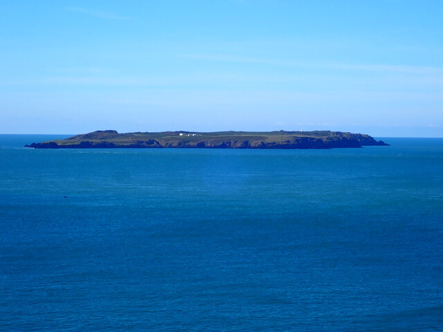
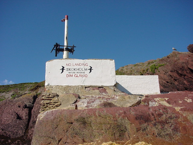
Skokholm
Skokholm (Welsh: Ynys Sgogwm) or Skokholm Island is an island 2.5 miles (4.0 km) off the coast of Pembrokeshire, Wales, south of the neighbouring island...

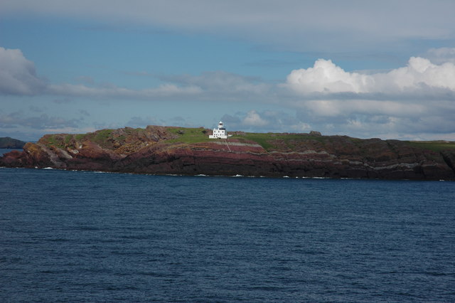
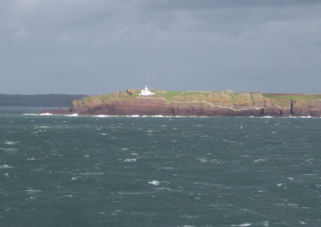
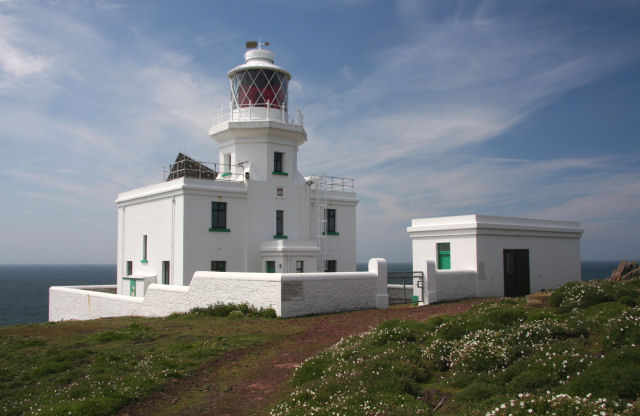
Skokholm Lighthouse
Skokholm Lighthouse is a lighthouse on Skokholm Island, just off the southwest coast of Pembrokeshire, Wales. This small island is a Site of Special Scientific...

Gateholm
Gateholm or Gateholm Island is a small tidal island off the south west coast of Pembrokeshire, in the community of Marloes and St Brides, in the south...

Skomer Marine Conservation Zone
Skomer Marine Conservation Zone is an underwater marine nature reserve located off the coast of Pembrokeshire in Wales. The nature reserve completely surrounds...
Nearby Amenities
Located within 500m of 51.700445,-5.2649897Have you been to East Bay?
Leave your review of East Bay below (or comments, questions and feedback).