Castle Skerry
Island in Orkney
Scotland
Castle Skerry

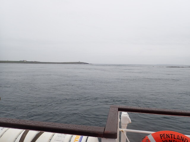
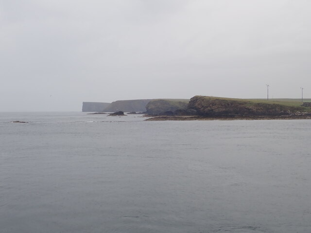
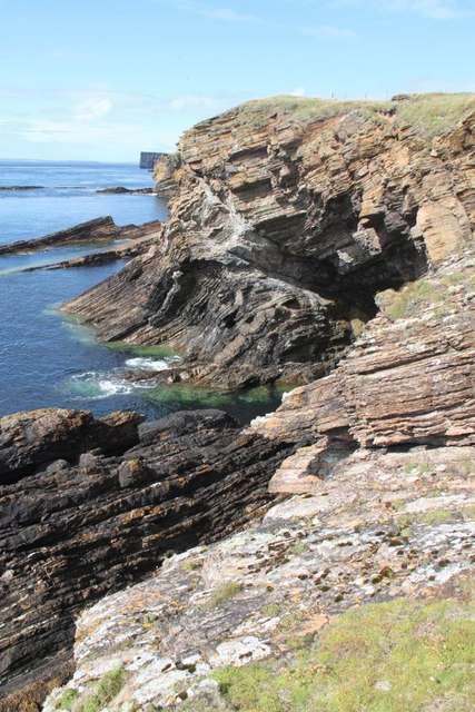
Castle Skerry is a small uninhabited island located in the Orkney archipelago, off the northeastern coast of mainland Scotland. Situated in the North Sea, it lies approximately 3 kilometers northwest of the larger island of Sanday. The island covers an area of about 4 hectares and is made up of mainly flat, grassy terrain.
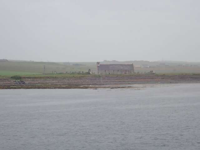
The island gets its name from the prominent feature on its landscape, a 15th-century tower house known as Castle Skerry. The castle is now in ruins, with only a few walls remaining, serving as a reminder of its historical significance. It is believed to have been constructed as a defensive structure during the medieval period, potentially serving as a lookout post or a fortification against invading forces.
Castle Skerry is known for its diverse bird population, making it a popular spot for birdwatchers and nature enthusiasts. The island is home to various seabirds, including puffins, guillemots, and fulmars. Additionally, seals can often be spotted lounging on the rocky shores surrounding the island.
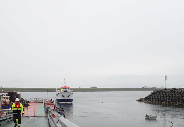
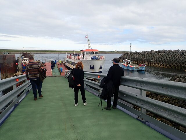
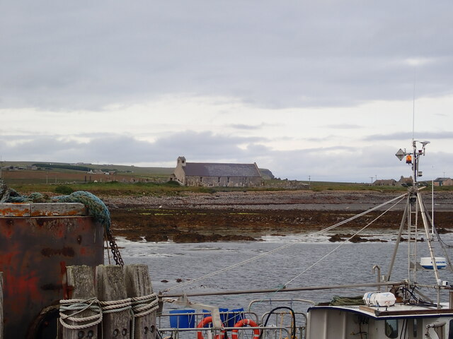
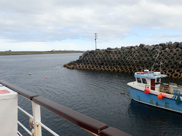
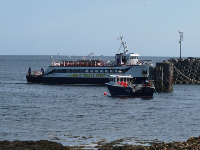
While Castle Skerry itself is uninhabited, the nearby island of Sanday offers amenities such as accommodation, shops, and restaurants for visitors to enjoy. Boat trips and guided tours are available for those interested in exploring the island and its historical ruins, as well as experiencing the rich natural beauty of the surrounding area.
Overall, Castle Skerry is a captivating destination that combines historical significance with stunning natural landscapes, offering visitors a unique and enriching experience.
If you have any feedback on the listing, please let us know in the comments section below.
Castle Skerry Images
Images are sourced within 2km of 58.741773/-2.9796198 or Grid Reference ND4384. Thanks to Geograph Open Source API. All images are credited.


Castle Skerry is located at Grid Ref: ND4384 (Lat: 58.741773, Lng: -2.9796198)
Unitary Authority: Orkney Islands
Police Authority: Highlands and Islands
What 3 Words
///encourage.spaces.goggles. Near St Margaret's Hope, Orkney Islands
Nearby Locations
Related Wikis

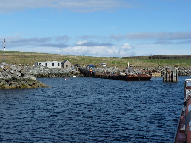
Burwick, Orkney
Burwick () is a small harbour on the island of South Ronaldsay in the Orkney Islands, Scotland. It is the closest Orkney harbour to the Scottish mainland...

Liddle Burnt Mound
Liddle Burnt Mound is a Bronze Age site on the island of South Ronaldsay, Orkney. The site consists of the remains of a building and a mound that surrounds...

Tomb of the Eagles
The Tomb of the Eagles, or Isbister Chambered Cairn, is a Neolithic chambered tomb located on a cliff edge at Isbister on South Ronaldsay in Orkney, Scotland...

HMS Opal (1915)
HMS Opal was an Admiralty M-class destroyer of the Royal Navy. She served in the First World War following her construction at Sunderland in 1915. Attached...

Swona
Swona is an uninhabited privately-owned island in the Pentland Firth off the north coast of Scotland. == Geography and geology == Swona is the more northerly...

South Ronaldsay
South Ronaldsay (, also , Scots: Sooth Ronalshee) is one of the Orkney Islands off the north coast of Scotland. It is linked to the Orkney Mainland by...

Muckle Skerry
Muckle Skerry is the largest of the Pentland Skerries that lie off the north coast of Scotland. It is home to the Pentland Skerries Lighthouse. Muckle...

MV Cemfjord
The Cemfjord was a Cyprus-registered cargo ship which foundered in the Pentland Firth off the north-east coast of Scotland on 2 January 2015. Built as...
Nearby Amenities
Located within 500m of 58.741773,-2.9796198Have you been to Castle Skerry?
Leave your review of Castle Skerry below (or comments, questions and feedback).