Bramble Island

Island in Wigtownshire

Scotland

Bramble Island

Fodder crop at West Glengyre Or perhaps it will be ploughed in; possibly a brassica. With Gorse on the hilltop.
Fodder crop at West Glengyre Credit: M J Richardson

Bramble Island is a small uninhabited island located off the coast of Wigtownshire in southwestern Scotland. It is situated approximately 1.5 kilometers southwest of the Mull of Galloway, the southernmost point of Scotland.

Covering an area of about 4 hectares, Bramble Island is characterized by rugged and rocky terrain, with steep cliffs rising up to 24 meters above sea level. The island is predominantly composed of granite, with patches of grass and heather scattered across its surface. Its geographic location, surrounded by the Irish Sea, offers visitors breathtaking panoramic views of the surrounding coastline and the Mull of Galloway Lighthouse.

Access to Bramble Island is limited to boat trips, as there are no permanent structures or facilities on the island. The island's rocky shoreline is home to a diverse range of marine life, including seals, seabirds, and various species of fish. It is also known for its rich biodiversity, with rare plant species such as the sea campion and sea pink found on its shores.

Due to its remote location and unspoiled natural beauty, Bramble Island is a popular destination for nature enthusiasts, birdwatchers, and photographers. Visitors can explore the island's rugged terrain, observe wildlife, and enjoy the tranquility of this untouched natural paradise. It is important for visitors to be aware of the island's fragile ecosystem and to respect the wildlife and plants that call Bramble Island their home.

If you have any feedback on the listing, please let us know in the comments section below.

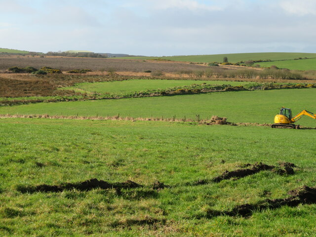
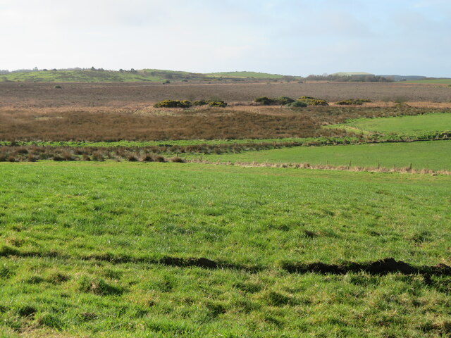
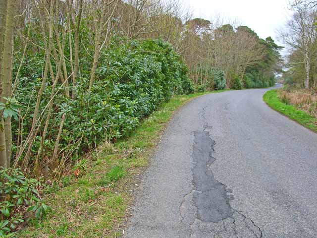
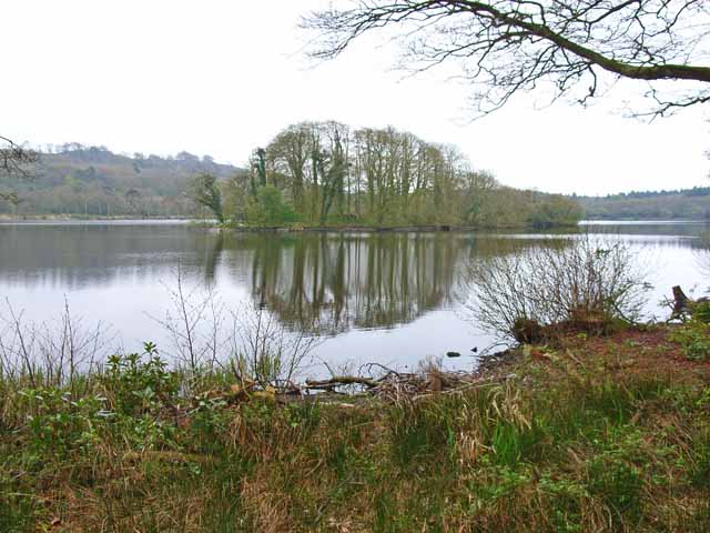
Bramble Island Images

Images are sourced within 2km of 54.923443/-5.1302088 or Grid Reference NW9963. Thanks to Geograph Open Source API. All images are credited.

Fodder crop at West Glengyre Or perhaps it will be ploughed in; possibly a brassica. With Gorse on the hilltop.
Fodder crop at West Glengyre
Or perhaps it will be ploughed in; possibly a brassica. With Gorse on the hilltop.
West Glengyre A farm west of Leswalt.
West Glengyre
A farm west of Leswalt.
Pasture at West Glengyre Somewhat 'poached' in places.
Pasture at West Glengyre
Somewhat 'poached' in places.
Garchrie Moss Here mosses are bogs, and this is probably a raised bog. Looking southwest from High Weirston.
Garchrie Moss
Here mosses are bogs, and this is probably a raised bog. Looking southwest from High Weirston.
Garchrie Moss Here mosses are bogs, and this is probably a raised bog. Looking southwest from High Weirston.
Garchrie Moss
Here mosses are bogs, and this is probably a raised bog. Looking southwest from High Weirston.
Rhododendrons along the B738 The "main" road up the west side of the North Rhinns of Galloway. Out-of-control rhododendron is a feature of big country estates, such as this, the Larbrax estate.
Rhododendrons along the B738
The "main" road up the west side of the North Rhinns of Galloway. Out-of-control rhododendron is a feature of big country estates, such as this, the Larbrax estate.
Galdenoch, North Rhins The place name "Galdenoch" seems to be a common one in Wigtownshire and apparently means "place of coltsfoot". The farm road leads to the 16th century castle at Meikle Galdenoch
Galdenoch, North Rhins
The place name "Galdenoch" seems to be a common one in Wigtownshire and apparently means "place of coltsfoot". The farm road leads to the 16th century castle at Meikle Galdenoch
Pond by the B738
Pond by the B738
New bungalow near Lochnaw Castle
Loch Naw An 11th century castle once stood on the island in the middle of the loch. The current 16th century Lochnaw Castle, ancestral home of the Agnew clan, lies directly beyond the island on the far shore.
Loch Naw
An 11th century castle once stood on the island in the middle of the loch. The current 16th century Lochnaw Castle, ancestral home of the Agnew clan, lies directly beyond the island on the far shore.
Farm and driveway near Lochnaw Castle
Entrance to Drumlochart Caravan Park The caravan park is set in attractive surroundings near Lochnaw Castle. <span class="nowrap"><a title="http://www.drumlochart.co.uk/" rel="nofollow ugc noopener" href="http://www.drumlochart.co.uk/">Link</a><img style="margin-left:2px;" alt="External link" title="External link - shift click to open in new window" src="https://s1.geograph.org.uk/img/external.png" width="10" height="10"/></span>
Entrance to Drumlochart Caravan Park
The caravan park is set in attractive surroundings near Lochnaw Castle. LinkExternal link
Blackpark Moss Taken in the gateway by near to the Green Burn in Glenstockadale looking towards Blackpark Moss
Blackpark Moss
Taken in the gateway by near to the Green Burn in Glenstockadale looking towards Blackpark Moss
Lochnaw Castle Lochnaw Castle (in the pouring rain), home (once upon a time) of the Agnew family.  The oldest bit is the tall tower, which is 16th century.  It was an hotel for a while, but had stopped being so when I arrived there to stay recently!  It is now a private home again (with a very long and muddy drive!).
Lochnaw Castle
Lochnaw Castle (in the pouring rain), home (once upon a time) of the Agnew family. The oldest bit is the tall tower, which is 16th century. It was an hotel for a while, but had stopped being so when I arrived there to stay recently! It is now a private home again (with a very long and muddy drive!).
Recycling, The Rhins
Locknaw Castle Picture taken during restoration
Locknaw Castle
Picture taken during restoration
Garchrie Moss An area of low moorland to the west of Leswalt. The coniferous woodland is an extension of Glenlochart Wood.
Garchrie Moss
An area of low moorland to the west of Leswalt. The coniferous woodland is an extension of Glenlochart Wood.
Lochnaw Loch Looking across a large raft of aquatic vegetation towards Lochnaw Castle on the far shore.
Lochnaw Loch
Looking across a large raft of aquatic vegetation towards Lochnaw Castle on the far shore.
Show me another place!

Bramble Island is located at Grid Ref: NW9963 (Lat: 54.923443, Lng: -5.1302088)

Unitary Authority: Dumfries and Galloway

Police Authority: Dumfries and Galloway

What 3 Words

///payout.acids.revamped. Near Stranraer, Dumfries & Galloway

Related Wikis

Galdenoch Castle

Galdenoch Castle is a tower house near the Scottish village of Leswalt in the Council Area Dumfries and Galloway . The ruin is listed as a Scheduled Monument...

Leswalt

Leswalt (Scottish Gaelic: Lios Uillt) is a village and civil parish in Dumfries and Galloway, south-west Scotland. It lies between Portpatrick and Stranraer...

Ervie

Ervie is a small village in Dumfries and Galloway, Scotland, in the Rhins of Galloway, just outside Stranraer.

RAF Wig Bay

Royal Air Force Wig Bay, or more simply RAF Wig Bay, is a former Royal Air Force station near Stranraer, Dumfries and Galloway, Scotland The following...

Kirkcolm

Kirkcolm (Scots: Kirkcoam) is a village and civil parish on the northern tip of the Rhinns of Galloway peninsula, south-west Scotland. It is in Dumfries...

Old Town Hall, Stranraer

The Old Town Hall is a municipal structure in George Street, Stranraer, Dumfries and Galloway, Scotland. The structure, which is used as a local history...

Stranraer railway station

Stranraer railway station (formerly known as Stranraer Harbour railway station) is a railway station that serves the town of Stranraer, Dumfries and Galloway...

Killantringan Lighthouse

Killantringan Lighthouse is a lighthouse located near Portpatrick in Dumfries and Galloway, south-west Scotland. The light came into operation in 1900...

Nearby Amenities

Located within 500m of 54.923443,-5.1302088
Lochnaw Castle
Naptan AtcoCode: 680000855222
Naptan Bearing: E
Naptan BusStopType: CUS
Naptan CommonName: Lochnaw Castle
Naptan Indicator: road end
Naptan Landmark: Lochnaw
Naptan NaptanCode: 34234795
Naptan Notes: none
Naptan Street: B7043
Naptan Verified: no
Source: naptan_import
Lat/Long: 54.9233832/-5.126546
Turning Loop
Lat/Long: 54.925896/-5.1253542
Turning Loop
Lat/Long: 54.9249149/-5.1262481
Caravans: yes
Tourism: camp_pitch
Lat/Long: 54.9247309/-5.1260879
Caravans: yes
Tourism: camp_pitch
Lat/Long: 54.9246002/-5.1259064
Caravans: yes
Tourism: camp_pitch
Lat/Long: 54.9246707/-5.1259048
Caravans: yes
Tourism: camp_pitch
Lat/Long: 54.9245223/-5.1259342
Caravans: yes
Tourism: camp_pitch
Lat/Long: 54.9247309/-5.1258966
Caravans: yes
Tourism: camp_pitch
Lat/Long: 54.9248192/-5.125926
Caravans: yes
Tourism: camp_pitch
Lat/Long: 54.9249272/-5.1257952
Caravans: yes
Tourism: camp_pitch
Lat/Long: 54.9249629/-5.1256202
Caravans: yes
Tourism: camp_pitch
Lat/Long: 54.9249047/-5.1255107
Caravans: yes
Tourism: camp_pitch
Lat/Long: 54.9248088/-5.125599
Caravans: yes
Tourism: camp_pitch
Lat/Long: 54.9247243/-5.1257004
Caravans: yes
Tourism: camp_pitch
Lat/Long: 54.9246407/-5.1257772
Caravans: yes
Tourism: camp_pitch
Lat/Long: 54.9244386/-5.1257576
Caravans: yes
Tourism: camp_pitch
Lat/Long: 54.9244941/-5.1256856
Caravans: yes
Tourism: camp_pitch
Lat/Long: 54.9245589/-5.1256382
Caravans: yes
Tourism: camp_pitch
Lat/Long: 54.9246078/-5.1255777
Caravans: yes
Tourism: camp_pitch
Lat/Long: 54.9247581/-5.1254371
Caravans: yes
Tourism: camp_pitch
Lat/Long: 54.9246886/-5.1255156
Caravans: yes
Tourism: camp_pitch
Lat/Long: 54.9248276/-5.1253537
Caravans: yes
Tourism: camp_pitch
Lat/Long: 54.9248915/-5.1252687
Caravans: yes
Tourism: camp_pitch
Lat/Long: 54.9249498/-5.1251967
Caravans: yes
Tourism: camp_pitch
Lat/Long: 54.9251114/-5.1254698
Caravans: yes
Tourism: camp_pitch
Lat/Long: 54.9251969/-5.1253521
Caravans: yes
Tourism: camp_pitch
Lat/Long: 54.925273/-5.1252605
Caravans: yes
Tourism: camp_pitch
Lat/Long: 54.9253576/-5.1251346
Caravans: yes
Tourism: camp_pitch
Lat/Long: 54.9252655/-5.1250757
Caravans: yes
Tourism: camp_pitch
Lat/Long: 54.92518/-5.1251755
Caravans: yes
Tourism: camp_pitch
Lat/Long: 54.925102/-5.1252556
Caravans: yes
Tourism: camp_pitch
Lat/Long: 54.9250325/-5.1253488
Caravans: yes
Tourism: camp_pitch
Lat/Long: 54.9253209/-5.124873
The data included in this document is from www.openstreetmap.org. The data is made available under ODbL.

Have you been to Bramble Island?

Leave your review of Bramble Island below (or comments, questions and feedback).