Lidden
Island in Cornwall
England
Lidden

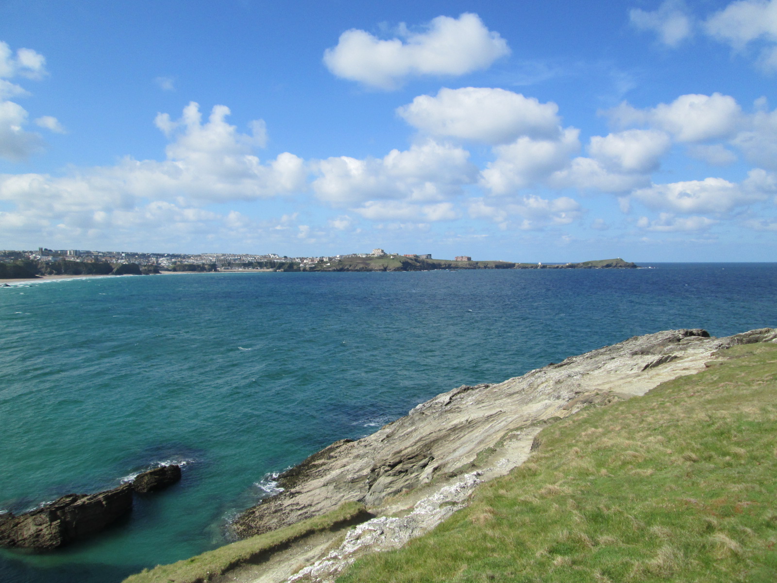
Lidden, Cornwall, is a small island located off the southwestern coast of England. With an area of approximately 0.5 square kilometers, it is a secluded and picturesque destination for nature lovers and those seeking tranquility. The island is situated in Mount's Bay, between the town of Penzance and the well-known St. Michael's Mount.
Lidden Island is largely uninhabited, with only a few scattered cottages and a small farming community. The island's landscape is characterized by rolling hills, rugged cliffs, and beautiful sandy beaches. Visitors can enjoy long walks along the coastal paths, taking in the stunning sea views and observing the diverse wildlife that inhabits the area.
The island is accessible by boat, with regular ferry services operating from Penzance. It is popular among tourists and locals alike, who are attracted to its unspoiled natural beauty and peaceful atmosphere. Lidden is also an ideal destination for birdwatching enthusiasts, as it serves as a nesting ground for various seabird species.
Despite its small size, Lidden boasts a rich history. The remains of a medieval chapel can still be found on the island, offering glimpses into its past. The island has also been a haven for artists and writers, who have drawn inspiration from its serene surroundings.
Overall, Lidden, Cornwall, is a hidden gem for those seeking an idyllic retreat in a stunning coastal setting. With its unspoiled landscapes, rich history, and abundant wildlife, it is no surprise that Lidden continues to captivate visitors from near and far.
If you have any feedback on the listing, please let us know in the comments section below.
Lidden Images
Images are sourced within 2km of 50.421039/-5.0892467 or Grid Reference SW8062. Thanks to Geograph Open Source API. All images are credited.


Lidden is located at Grid Ref: SW8062 (Lat: 50.421039, Lng: -5.0892467)
Unitary Authority: Cornwall
Police Authority: Devon and Cornwall
What 3 Words
///confronts.solves.support. Near Newquay, Cornwall
Nearby Locations
Related Wikis
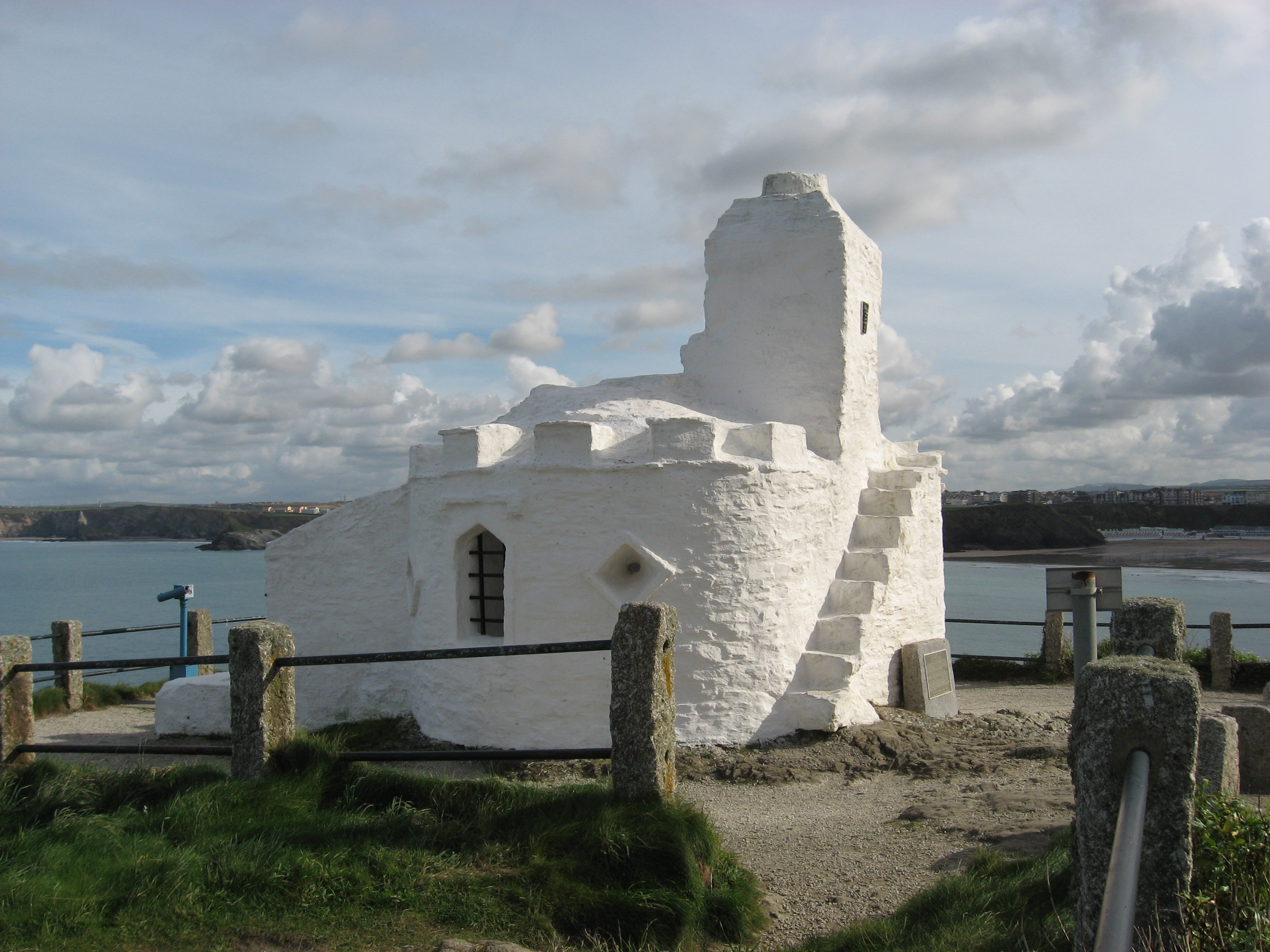
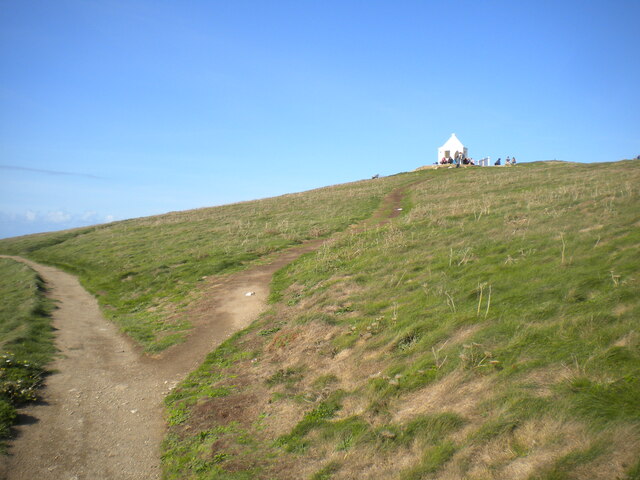
Huer's Hut
The Huer's Hut is a listed building in Newquay, Cornwall, England. It may date from the 14th century and have originally seen use as a hermitage and lighthouse...

Atlantic Hotel, Newquay
The Atlantic Hotel is in Newquay, Cornwall, United Kingdom. It was first opened in July 1892 and occupies a prominent position on the shore, with views...

Headland Hotel
The Headland Hotel is a Grade II listed building located in Newquay, Cornwall, England, United Kingdom. It was opened in June 1900 and is built on a prominent...

Cribbar
The Cribbar (Cornish - kribow: reefs), also known as the Widow Maker, is a reef off the Towan Headland in Newquay, Cornwall, England, United Kingdom. The...

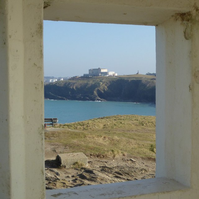
Towan Head
Towan Head (Cornish: Penn Tewyn) is a headland one mile west of Newquay on the north coast of Cornwall, England, United Kingdom. It is at the western end...
Penhallow Hotel fire
The Penhallow Hotel fire was a suspected arson attack that occurred in Newquay, Cornwall on 18 August 2007. Three people were killed and it was reported...
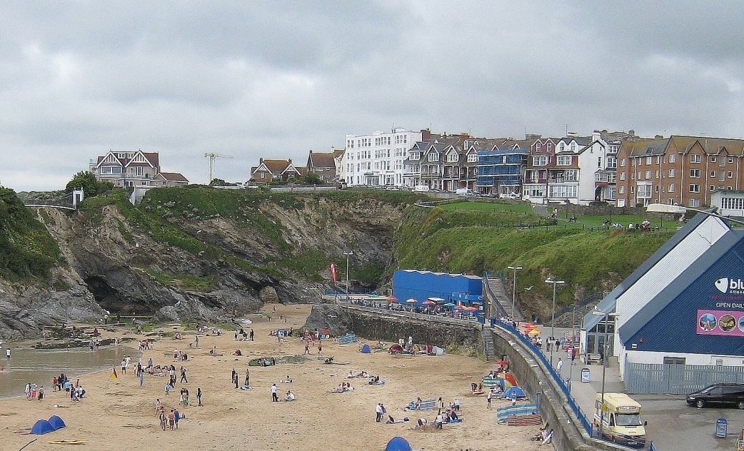
Newquay Bay
Newquay Bay is a bay adjacent to Newquay in Cornwall, England. The bay is about 2.5 kilometres (1.6 mi) wide, from Towan Head in the west to Trevelgue...

Legacy Hotel Victoria, Newquay
The Hotel Victoria is in Newquay, Cornwall, United Kingdom and is near the cliffs above the Great Western Beach. The Hotel first opened in June 1899....
Nearby Amenities
Located within 500m of 50.421039,-5.0892467Have you been to Lidden?
Leave your review of Lidden below (or comments, questions and feedback).