Leac an Traghaidh

Island in Ross-shire

Scotland

Leac an Traghaidh

B8021 at Melvaig
B8021 at Melvaig Credit: Chris Morgan

Leac an Traghaidh, located in Ross-shire, is a small island with a unique charm and stunning natural beauty. Situated off the northwest coast of Scotland, it is surrounded by the crystal-clear waters of the Atlantic Ocean. The island is easily accessible by boat, offering a tranquil escape from the mainland.

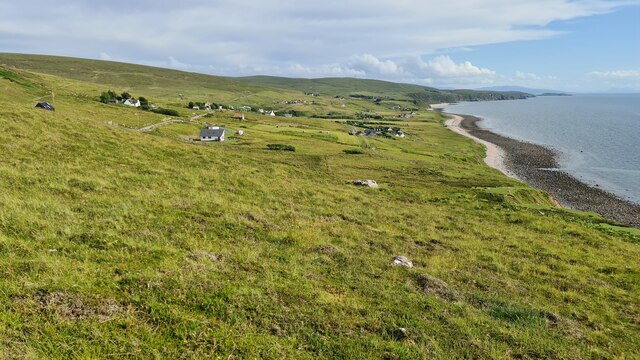
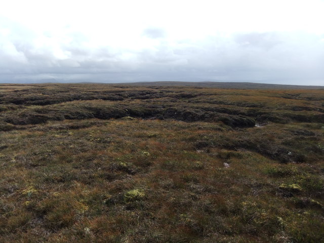
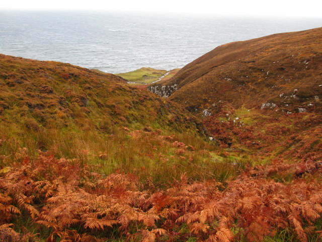
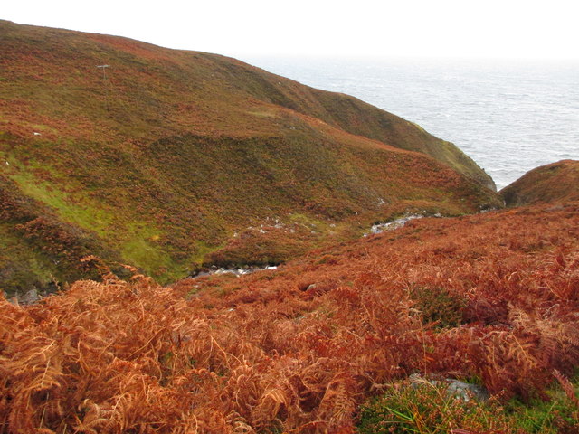
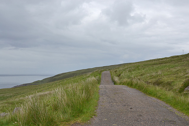
With an area of approximately 10 square kilometers, Leac an Traghaidh boasts a diverse landscape that includes rocky cliffs, sandy beaches, and rolling hills. The island is home to a variety of wildlife, including seabirds, seals, and occasional dolphin sightings. Nature enthusiasts will find ample opportunities for bird-watching, hiking, and photography.

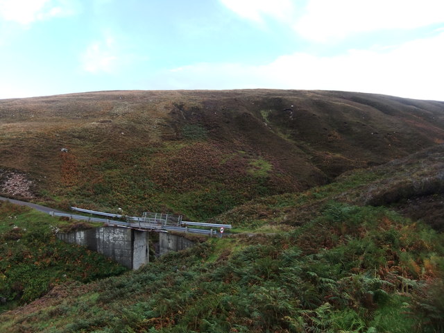
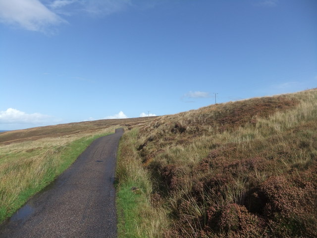
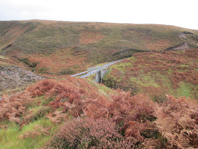
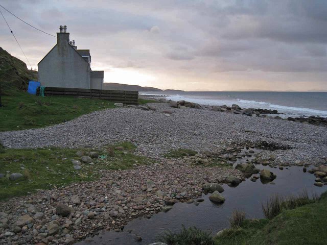
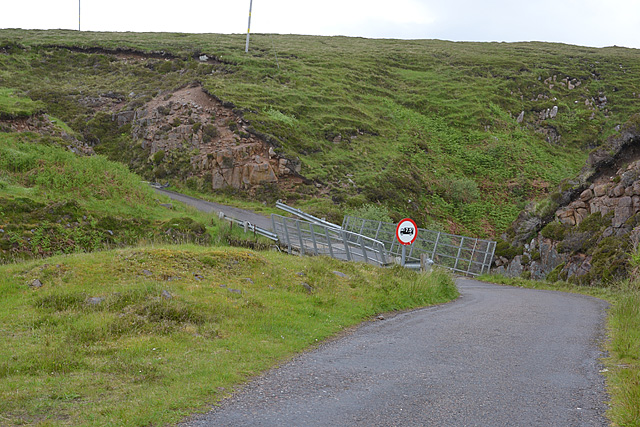
The island is sparsely populated, with only a handful of residents. There are no permanent buildings or infrastructure on Leac an Traghaidh, making it a true haven for those seeking solitude and a connection with nature. Visitors can explore the island's rugged coastline, discover hidden coves, and enjoy the peacefulness of the untouched landscapes.

Leac an Traghaidh offers a truly off-the-grid experience, with no electricity or modern amenities. Visitors are encouraged to bring their own supplies and camping gear for an immersive outdoor adventure. It's important to note that due to its remote location, there are no facilities or services available on the island, so visitors must be self-sufficient during their stay.

Overall, Leac an Traghaidh is a hidden gem for nature lovers and adventurers seeking a remote and unspoiled destination. Its untouched landscapes, diverse wildlife, and serene atmosphere make it a perfect escape from the hustle and bustle of everyday life.

If you have any feedback on the listing, please let us know in the comments section below.

Leac an Traghaidh Images

Images are sourced within 2km of 57.823547/-5.812863 or Grid Reference NG7387. Thanks to Geograph Open Source API. All images are credited.

B8021 at Melvaig
B8021 at Melvaig
Ruined croft at Melvaig
Coast at Melvaig
Coast at Melvaig
More grassy bog
More grassy bog
Bridge over the Allt an Fheidh
Road to the lighthouse
Car park on the road from Melvaig
Houses at Melvaig
Houses at Melvaig
Grazing land with a view
Allt a' Bhùtha
Allt a' Bhùtha
Bridge over Allt a' Bhùtha
The Allt an Fheidh
The Allt an Fheidh
House on the beach This house stands just above the shingle beach at Melvaig. The Allt Melvaig flows into the sea at the photographer's feet.
House on the beach
This house stands just above the shingle beach at Melvaig. The Allt Melvaig flows into the sea at the photographer's feet.
Bridge over Allt Melvaig The bridge carries the unclassified single track road which serves the small settlement of Melvaig.
Bridge over Allt Melvaig
The bridge carries the unclassified single track road which serves the small settlement of Melvaig.
Track heading for the shore With Skye in the distance.
Track heading for the shore
With Skye in the distance.
Melvaig Looking over the southern part of the scattered community.
Melvaig
Looking over the southern part of the scattered community.
The Rubha Rèidh road
Bridge over the Allt a' Bhùtha Not the most confidence-inducing structure.
Bridge over the Allt a' Bhùtha
Not the most confidence-inducing structure.
Show me another place!

Leac an Traghaidh is located at Grid Ref: NG7387 (Lat: 57.823547, Lng: -5.812863)

Unitary Authority: Highland

Police Authority: Highlands and Islands

What 3 Words

///placed.incorrect.thinking. Near Gairloch, Highland

Related Wikis

Melvaig

Melvaig is a remote village on the coast of western Ross-shire, Scottish Highlands and is in the Scottish council area of Highland. It is a cliff top...

Aultgrishan

Aultgrishan (Gaelic: ) is a small crofting community near Gairloch, Ross-shire. It adjoins Melvaig, within Highland region and is in the Scottish council...

Rua Reidh Lighthouse

Rua Reidh Lighthouse stands close to the entrance to Loch Ewe in Wester Ross, Scotland. == History == The name "Rua Reidh" is a semi-anglicisation of...

Cove, Highland

Cove is a remote hamlet located on the northwestern shore of the sea loch Loch Ewe, and 8 mi (13 km) northwest of Poolewe in Ross-shire, Scottish Highlands...

Nearby Amenities

Located within 500m of 57.823547,-5.812863
Source: PGS
Lat/Long: 57.8278986/-5.8136199
Source: PGS
Lat/Long: 57.8266959/-5.8134174
Source: PGS
Lat/Long: 57.8265863/-5.8134165
Source: PGS
Lat/Long: 57.826521/-5.8132143
Source: PGS
Lat/Long: 57.8263855/-5.8127964
Source: PGS
Lat/Long: 57.8262228/-5.8127955
Source: PGS
Lat/Long: 57.8263631/-5.8130432
Source: PGS
Lat/Long: 57.8252615/-5.8128301
Source: PGS
Lat/Long: 57.8250462/-5.8127719
Source: PGS
Lat/Long: 57.8245573/-5.8121752
Source: PGS
Lat/Long: 57.824183/-5.8128392
Source: PGS
Lat/Long: 57.8241266/-5.812805
Created By: almien_coastlines
Source: PGS
Lat/Long: 57.823843/-5.813274
Source: PGS
Lat/Long: 57.8237267/-5.812362
Source: PGS
Lat/Long: 57.8234778/-5.8122132
Source: PGS
Lat/Long: 57.8234333/-5.8122322
Source: PGS
Lat/Long: 57.8232675/-5.812908
Source: PGS
Lat/Long: 57.8229656/-5.812862
Source: PGS
Lat/Long: 57.8228913/-5.8123272
Source: PGS
Lat/Long: 57.8227757/-5.8126946
Created By: almien_coastlines
Source: PGS
Lat/Long: 57.822821/-5.813194
Source: PGS
Lat/Long: 57.8213147/-5.8129699
Source: PGS
Lat/Long: 57.8212122/-5.8129565
Source: PGS
Lat/Long: 57.8206612/-5.8126651
Source: PGS
Lat/Long: 57.8202207/-5.8129632
Source: PGS
Lat/Long: 57.8201233/-5.8123919
Parking
Access: yes
Capacity: 2
Fee: no
Lit: no
Smoothness: bad
Source: survey
Supervised: no
Surface: ground
Lat/Long: 57.8233667/-5.8085654
Parking
Access: yes
Capacity: 3
Fee: no
Lit: no
Smoothness: bad
Source: survey
Supervised: no
Surface: ground
Lat/Long: 57.827051/-5.8084494
Power: pole
Lat/Long: 57.8203737/-5.8079798
Power: pole
Lat/Long: 57.8211149/-5.8079935
Power: pole
Lat/Long: 57.8216638/-5.8080073
Power: pole
Lat/Long: 57.8223727/-5.8080569
Power: pole
Lat/Long: 57.8231623/-5.8080817
Power: pole
Lat/Long: 57.8238786/-5.8081121
Power: pole
Lat/Long: 57.8246901/-5.807875
Power: pole
Lat/Long: 57.8253667/-5.8076766
Power: pole
Lat/Long: 57.8260447/-5.8074699
Power: pole
Lat/Long: 57.8267741/-5.8072356
The data included in this document is from www.openstreetmap.org. The data is made available under ODbL.

Have you been to Leac an Traghaidh?

Leave your review of Leac an Traghaidh below (or comments, questions and feedback).