Armed Knight
Island in Cornwall
England
Armed Knight
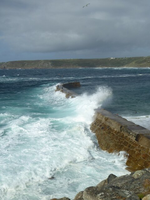
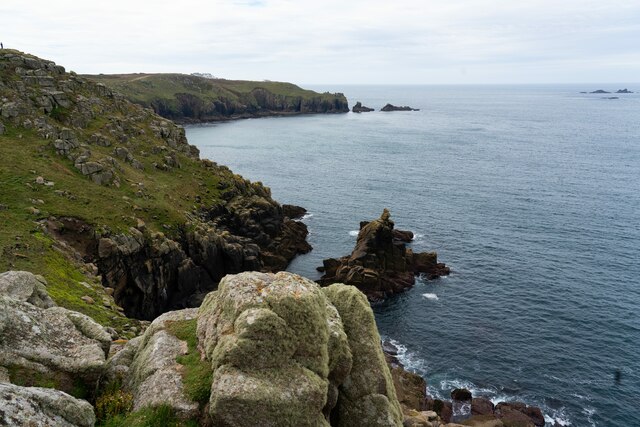
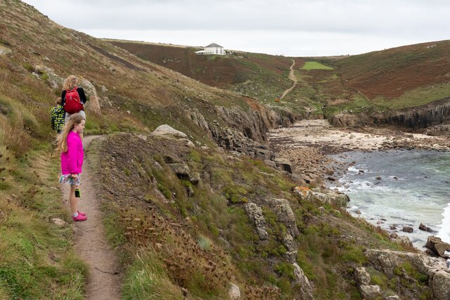
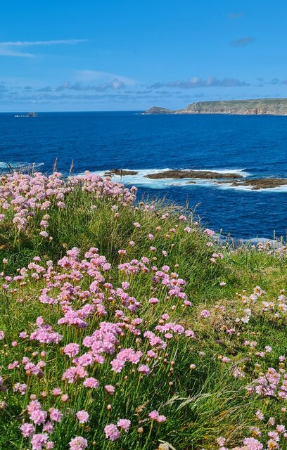
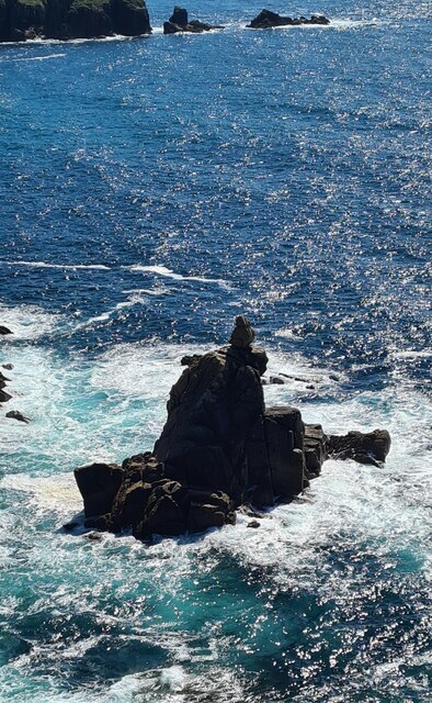
Armed Knight is a small uninhabited rocky island located off the coast of Cornwall, England. Situated in the Atlantic Ocean, it is part of the Isles of Scilly archipelago, specifically lying southwest of the island of St. Agnes.
The name "Armed Knight" is derived from the island's jagged, fortress-like appearance, resembling a heavily armed knight on horseback. Measuring about 150 meters in length and 50 meters in width, it is a prominent landmark in the region.
The island is primarily composed of granite and is surrounded by treacherous rocks, making it inaccessible to visitors. Due to its rugged terrain and strong currents, it poses a significant danger to ships passing through the area. Consequently, a lighthouse was constructed on the island in 1873 to warn mariners of the hazards.
Armed Knight provides a nesting site for various seabirds, including gulls, puffins, and razorbills. The surrounding waters are also home to a diverse range of marine life, such as seals, dolphins, and occasionally whales.
Given its uninhabited nature and restricted access, Armed Knight remains relatively untouched by human activity. It serves as a natural refuge and sanctuary for wildlife, contributing to the region's biodiversity. The island's dramatic appearance and ecological significance make it a popular subject for photography and drawing, attracting artists and nature enthusiasts alike.
In conclusion, Armed Knight is a striking and uninhabited rocky island off the coast of Cornwall. Its fortress-like shape, dangerous waters, and abundant wildlife make it an intriguing destination for those interested in nature and maritime history.
If you have any feedback on the listing, please let us know in the comments section below.
Armed Knight Images
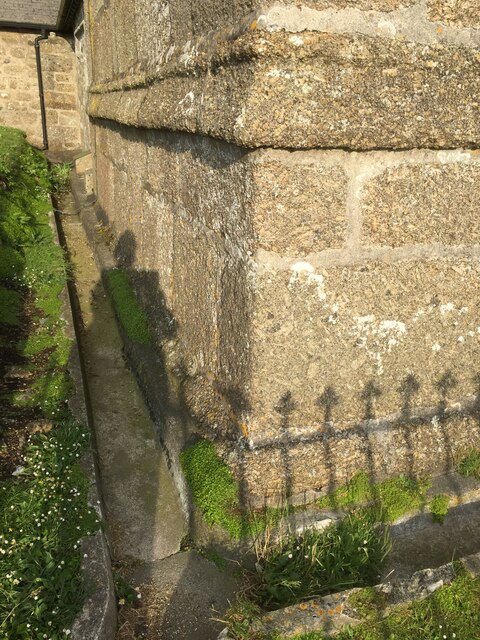
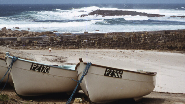
Images are sourced within 2km of 50.062871/-5.7166935 or Grid Reference SW3424. Thanks to Geograph Open Source API. All images are credited.


Armed Knight is located at Grid Ref: SW3424 (Lat: 50.062871, Lng: -5.7166935)
Unitary Authority: Cornwall
Police Authority: Devon and Cornwall
What 3 Words
///alarmed.firms.cleanest. Near Sennen, Cornwall
Nearby Locations
Related Wikis

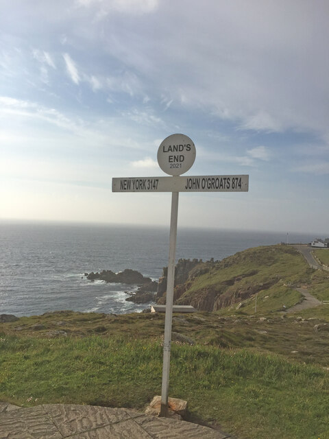
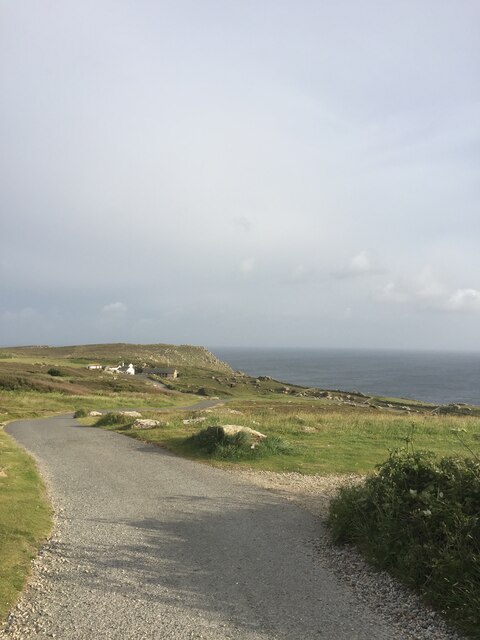
Land's End
Land's End (Cornish Standard Written Form: Penn an Wlas or Pedn an Wlas) is a headland and tourist and holiday complex in western Cornwall, England, United...

Maen Castle
Maen Castle is an Iron Age promontory fort or 'cliff castle' close to Land's End in Cornwall. It is one of only two fortified sites in Cornwall where...

MV RMS Mulheim
The RMS Mülheim was a German cargo ship that was built in Romania and launched in May 1999. It was wrecked on 22 March 2003 at Land's End, United Kingdom...

Trevescan
Trevescan is a hamlet in west Cornwall, England, United Kingdom. It is situated between the village of Sennen and the settlement at Land's End, 8 miles...
Nearby Amenities
Located within 500m of 50.062871,-5.7166935Have you been to Armed Knight?
Leave your review of Armed Knight below (or comments, questions and feedback).