Sgeir Stangail

Island in Argyllshire

Scotland

Sgeir Stangail

Rough croft land south of Struan, Isle of Coll
Rough croft land south of Struan, Isle of Coll Credit: Alpin Stewart

Sgeir Stangail is a small, uninhabited island located off the coast of Argyllshire, Scotland. It is situated in the Inner Hebrides, specifically in the Firth of Lorn, and is part of the Argyll and Bute council area. The island is approximately 0.2 hectares (0.5 acres) in size.

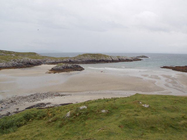
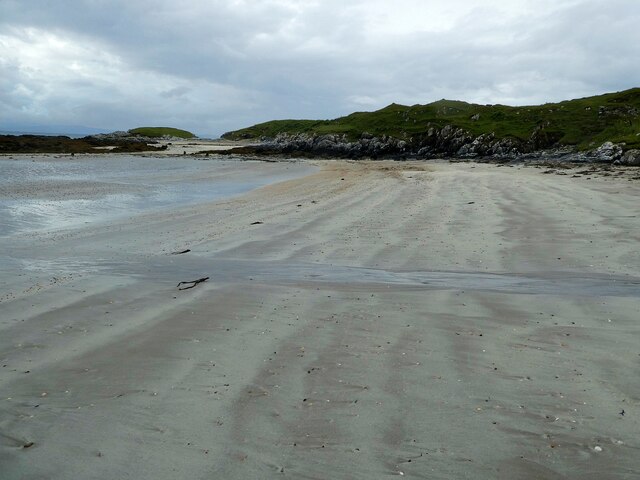
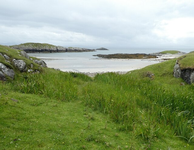
Sgeir Stangail is a rocky island, characterized by its rugged and exposed terrain. It is predominantly made up of steep cliffs, with no significant vegetation or sheltered areas. The island is known for its distinctive geological features, including basalt columns formed by ancient volcanic activity.

Due to its remote location and challenging access, Sgeir Stangail is rarely visited by humans. However, it is a popular spot for nesting seabirds, including guillemots, razorbills, and kittiwakes. The surrounding waters are also home to various marine species, making it an important site for wildlife conservation.

The island holds historical significance, with evidence of prehistoric occupation in the form of stone tools and remains. It is believed that Sgeir Stangail may have served as a seasonal hunting ground for early inhabitants of the area.

Today, Sgeir Stangail is primarily valued for its natural beauty and ecological importance. It is often included as part of boat tours or wildlife-spotting excursions in the region. Visitors are advised to approach with caution and respect for the fragile ecosystem that exists on the island.

If you have any feedback on the listing, please let us know in the comments section below.

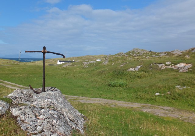
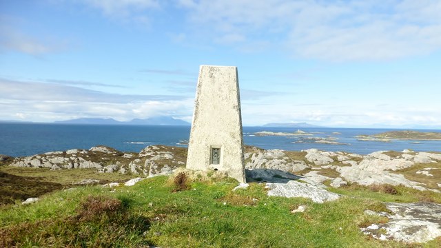
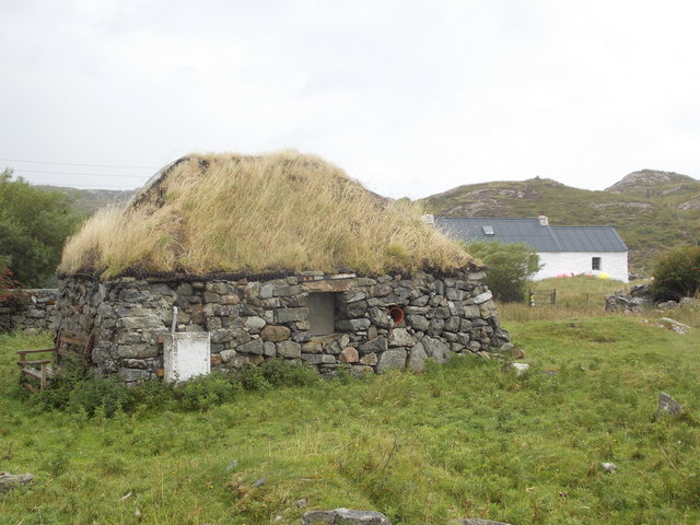
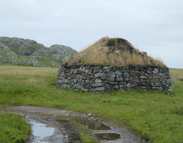
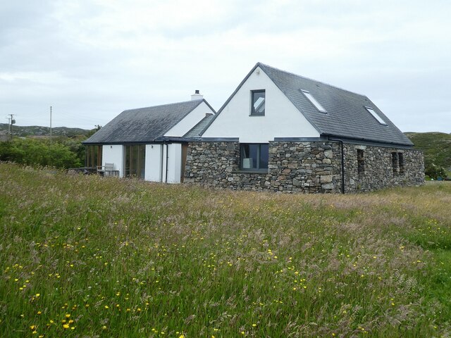
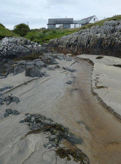
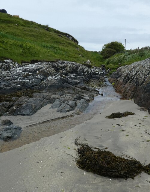
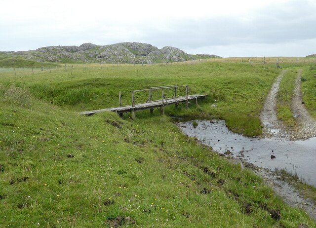
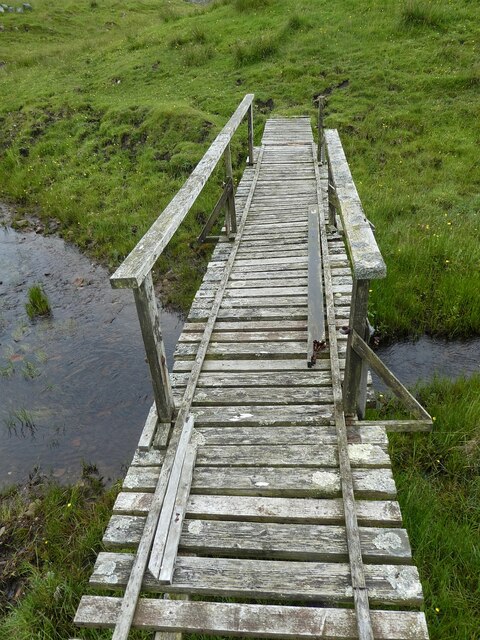
Sgeir Stangail Images

Images are sourced within 2km of 56.694678/-6.4583624 or Grid Reference NM2764. Thanks to Geograph Open Source API. All images are credited.

Rough croft land south of Struan, Isle of Coll
Druim Nan Carn Trig A beautiful spot for a trig point on a sunny afternoon with Iain Brown and Martin Richardson.
Druim Nan Carn Trig
A beautiful spot for a trig point on a sunny afternoon with Iain Brown and Martin Richardson.
Isle of Coll: end of the B8072 at Sorisdale The road comes to an end at this turning area, although a footpath continues along the private driveway ahead to the bay.
Isle of Coll: end of the B8072 at Sorisdale
The road comes to an end at this turning area, although a footpath continues along the private driveway ahead to the bay.
Isle of Coll: old croft building at Sorisdale A derelict building among various houses old and new, just above the bay.
Isle of Coll: old croft building at Sorisdale
A derelict building among various houses old and new, just above the bay.
Isle of Coll: Sorisdale Bay A sandy bay at the northeast end of the island, which has a hamlet of a scattering of houses around it.
Isle of Coll: Sorisdale Bay
A sandy bay at the northeast end of the island, which has a hamlet of a scattering of houses around it.
Coll - Sorisdale - Turning area The turning area at the end of the B8072 as it arrives at Sorisdale. If driving, you can't park in this area and have to find a reasonable place to abandon your vehicle which doesn't either block the lane or an access to the fields. Also, best to find somewhere where your wheels don't sink into the ground!
Coll - Sorisdale - Turning area
The turning area at the end of the B8072 as it arrives at Sorisdale. If driving, you can't park in this area and have to find a reasonable place to abandon your vehicle which doesn't either block the lane or an access to the fields. Also, best to find somewhere where your wheels don't sink into the ground!
Coll - Sorisdale - Abandoned croft and byre Two of the abandoned buildings at Sorisdale on the northern tip of Coll. I think that the nearer one was probably a croft, and the other a byre or barn.
Closer views of these two individually here:
<a href="https://www.geograph.org.uk/photo/7239702">NM2763 : Coll - Sorisdale - Former croft</a>
<a href="https://www.geograph.org.uk/photo/7239708">NM2763 : Coll - Sorisdale - Former byre or barn</a>
See also shared description below:
Coll - Sorisdale - Abandoned croft and byre
Two of the abandoned buildings at Sorisdale on the northern tip of Coll. I think that the nearer one was probably a croft, and the other a byre or barn. Closer views of these two individually here: NM2763 : Coll - Sorisdale - Former croft NM2763 : Coll - Sorisdale - Former byre or barn See also shared description below:
Coll - Sorisdale - Former croft This little building is, I believe, a former croft. It retains its thatched roof and by the looks of it was being used for storage.
Next to it is <a href="https://www.geograph.org.uk/photo/7239708">NM2763 : Coll - Sorisdale - Former byre or barn</a> which was most likely associated with it.
See <a href="https://www.geograph.org.uk/photo/7239697">NM2763 : Coll - Sorisdale - Abandoned croft and byre</a> to see the two buildings together.
See shared description below:
Coll - Sorisdale - Former croft
This little building is, I believe, a former croft. It retains its thatched roof and by the looks of it was being used for storage. Next to it is NM2763 : Coll - Sorisdale - Former byre or barn which was most likely associated with it. See NM2763 : Coll - Sorisdale - Abandoned croft and byre to see the two buildings together. See shared description below:
Coll - Sorisdale - Former byre or barn This little square stone-built and turf-roofed building is most likely a former byre or possibly a small barn. It was almost certainly associated with the adjacent <a href="https://www.geograph.org.uk/photo/7239702">NM2763 : Coll - Sorisdale - Former croft</a>
See <a href="https://www.geograph.org.uk/photo/7239697">NM2763 : Coll - Sorisdale - Abandoned croft and byre</a> to see the two buildings together.
See also shared description below:
Coll - Sorisdale - Former byre or barn
This little square stone-built and turf-roofed building is most likely a former byre or possibly a small barn. It was almost certainly associated with the adjacent NM2763 : Coll - Sorisdale - Former croft See NM2763 : Coll - Sorisdale - Abandoned croft and byre to see the two buildings together. See also shared description below:
Coll - Sorisdale - New build probably reusing old croft This newly built or extensively refurbished property is towards the northeastern end of the settlement of Sorisdale. It is near to the beach with superb views over Sorisdale Bay. Whether it is a home or a holiday cottage I don't know, but I think that it may incorporate one or possibly more former crofts.
Coll - Sorisdale - New build probably reusing old croft
This newly built or extensively refurbished property is towards the northeastern end of the settlement of Sorisdale. It is near to the beach with superb views over Sorisdale Bay. Whether it is a home or a holiday cottage I don't know, but I think that it may incorporate one or possibly more former crofts.
Coll - Sorisdale - Stream and house Several streams flow to the sea at Sorisdale Bay; this one has flowed along the southern side of the settlement of Sorisdale and trickles over the sands of the bay. See <a href="https://www.geograph.org.uk/photo/7239723">NM2763 : Coll - Sorisdale - Stream to south of hamlet</a>
Above and to the right can be seen one of the extant and lived-in houses that remain in this largely-abandoned settlement.
Coll - Sorisdale - Stream and house
Several streams flow to the sea at Sorisdale Bay; this one has flowed along the southern side of the settlement of Sorisdale and trickles over the sands of the bay. See NM2763 : Coll - Sorisdale - Stream to south of hamlet Above and to the right can be seen one of the extant and lived-in houses that remain in this largely-abandoned settlement.
Coll - Sorisdale - Stream to south of hamlet This small stream (which doesn't seem to be marked on the map) flows mostly to the south of the settlement of Sorisdale. It is seen reaching the beach in <a href="https://www.geograph.org.uk/photo/7239719">NM2763 : Coll - Sorisdale - Stream and house</a>.
Coll - Sorisdale - Stream to south of hamlet
This small stream (which doesn't seem to be marked on the map) flows mostly to the south of the settlement of Sorisdale. It is seen reaching the beach in NM2763 : Coll - Sorisdale - Stream and house.
Coll - Sorisdale - The beach The fine sands of the beach at Sorisdale which is lapped by the waters of Sorisdale Bay. Some of the crofts and houses (mostly the few intact ones) overlook this beach.
Coll - Sorisdale - The beach
The fine sands of the beach at Sorisdale which is lapped by the waters of Sorisdale Bay. Some of the crofts and houses (mostly the few intact ones) overlook this beach.
Coll - Sorisdale - Beach and bay Looking from near to the house seen in <a href="https://www.geograph.org.uk/photo/7239719">NM2763 : Coll - Sorisdale - Stream and house</a> over reeds that line <a href="https://www.geograph.org.uk/photo/7239723">NM2763 : Coll - Sorisdale - Stream to south of hamlet</a> to the beach and Sorisdale Bay out to Eilean na h-Àtha
Coll - Sorisdale - Beach and bay
Looking from near to the house seen in NM2763 : Coll - Sorisdale - Stream and house over reeds that line NM2763 : Coll - Sorisdale - Stream to south of hamlet to the beach and Sorisdale Bay out to Eilean na h-Àtha
Coll - Sorisdale - Ruins and extant house Looking past two ruinous stone buildings (the righthand one enveloped in self-set plants) to one of the lived in properties at Sorisdale. This white cottage is Sorisdale Croft which dates from the late C18th or early C19th (see <span class="nowrap"><a title="https://canmore.org.uk/site/294554/coll-sorisdale-cottage" rel="nofollow ugc noopener" href="https://canmore.org.uk/site/294554/coll-sorisdale-cottage">Link</a><img style="margin-left:2px;" alt="External link" title="External link - shift click to open in new window" src="https://s1.geograph.org.uk/img/external.png" width="10" height="10"/></span> )
Coll - Sorisdale - Ruins and extant house
Looking past two ruinous stone buildings (the righthand one enveloped in self-set plants) to one of the lived in properties at Sorisdale. This white cottage is Sorisdale Croft which dates from the late C18th or early C19th (see LinkExternal link )
Coll - Sorisdale - Ruined buildings Looking along the side of one of the ruined buildings seen in <a href="https://www.geograph.org.uk/photo/7239746">NM2763 : Coll - Sorisdale - Ruins and extant house</a> to the other which has a healthy growth of trees within its shell. Part of Sorisdale Croft can be just seen on the left.
Coll - Sorisdale - Ruined buildings
Looking along the side of one of the ruined buildings seen in NM2763 : Coll - Sorisdale - Ruins and extant house to the other which has a healthy growth of trees within its shell. Part of Sorisdale Croft can be just seen on the left.
Coll - Sorisdale - Stream, ford and footbridge The track which winds its way through Sorisdale is seen here reappearing from a ford, while <a href="https://www.geograph.org.uk/photo/7239754">NM2763 : Coll - Sorisdale - Footbridge over stream</a> allows pedestrians to cross the stream without getting wet. The lumpy little hill in the background is Cnoc Mòr.
Coll - Sorisdale - Stream, ford and footbridge
The track which winds its way through Sorisdale is seen here reappearing from a ford, while NM2763 : Coll - Sorisdale - Footbridge over stream allows pedestrians to cross the stream without getting wet. The lumpy little hill in the background is Cnoc Mòr.
Coll - Sorisdale - Footbridge over stream This is a closer view of the wooden footbridge seen in <a href="https://www.geograph.org.uk/photo/7239752">NM2763 : Coll - Sorisdale - Stream, ford and footbridge</a>.
Coll - Sorisdale - Footbridge over stream
This is a closer view of the wooden footbridge seen in NM2763 : Coll - Sorisdale - Stream, ford and footbridge.
Show me another place!

Sgeir Stangail is located at Grid Ref: NM2764 (Lat: 56.694678, Lng: -6.4583624)

Unitary Authority: Argyll and Bute

Police Authority: Argyll and West Dunbartonshire

What 3 Words

///front.promotion.trample. Near Arinagour, Argyll & Bute

Related Wikis

Cairns of Coll

The Cairns of Coll refers primarily to a region of rocky outcrops in shallow waters extending from the north end of the Island of Coll in the Inner Hebrides...

Dùn Morbhaidh

Dùn Morbhaidh, also known as Dun Borbaidh, is a hill fort located on the Inner Hebridean island of Coll. The early 20th century antiquary Erskine Beveridge...

Coll

Coll (; Scottish Gaelic: Cola; Scots: Coll) is an island located west of the Isle of Mull in the Inner Hebrides of Scotland. Coll is known for its sandy...

Arinagour

Arinagour (Scottish Gaelic: Àirigh nan Gobhar, "shieling of the goats") is a village on the island of Coll, in the Argyll and Bute council area of Scotland...

Nearby Amenities

Located within 500m of 56.694678,-6.4583624
Natural: rock
Source: OS7
Tidal: yes
Lat/Long: 56.6960262/-6.4636712
Natural: rock
Source: OS7
Tidal: yes
Lat/Long: 56.6952217/-6.4645614
Natural: rock
Source: OS7
Tidal: yes
Lat/Long: 56.6940671/-6.4649429
Natural: rock
Source: OS7
Tidal: yes
Lat/Long: 56.6937173/-6.4617637
Natural: rock
Source: OS7
Tidal: yes
Lat/Long: 56.6929523/-6.4532944
Natural: rock
Source: OS7
Tidal: yes
Lat/Long: 56.6938061/-6.4533314
Natural: rock
Source: OS7
Tidal: yes
Lat/Long: 56.6933995/-6.4542182
Natural: rock
Source: OS7
Tidal: yes
Lat/Long: 56.6931962/-6.4553636
Natural: rock
Source: OS7
Tidal: yes
Lat/Long: 56.6940298/-6.4539595
Natural: rock
Source: OS7
Tidal: yes
Lat/Long: 56.6942534/-6.4537008
Natural: rock
Source: OS7
Tidal: yes
Lat/Long: 56.6947413/-6.4534791
Natural: rock
Source: OS7
Tidal: yes
Lat/Long: 56.6951073/-6.4537748
Natural: rock
Source: OS7
Tidal: yes
Lat/Long: 56.6950259/-6.4551419
Natural: rock
Source: OS7
Tidal: yes
Lat/Long: 56.6983598/-6.4551788
Natural: rock
Source: OS7
Tidal: yes
Lat/Long: 56.6967742/-6.4519643
The data included in this document is from www.openstreetmap.org. The data is made available under ODbL.

Have you been to Sgeir Stangail?

Leave your review of Sgeir Stangail below (or comments, questions and feedback).