Outer Colvel Rock

Island in Cornwall

England

Outer Colvel Rock

Plum Island Tresco View Across New Grimsby Harbour to Plum island  with the island of Bryher in the background and King Henry's Castle on the extreme right.
Plum Island Tresco Credit: Nigel Mykura

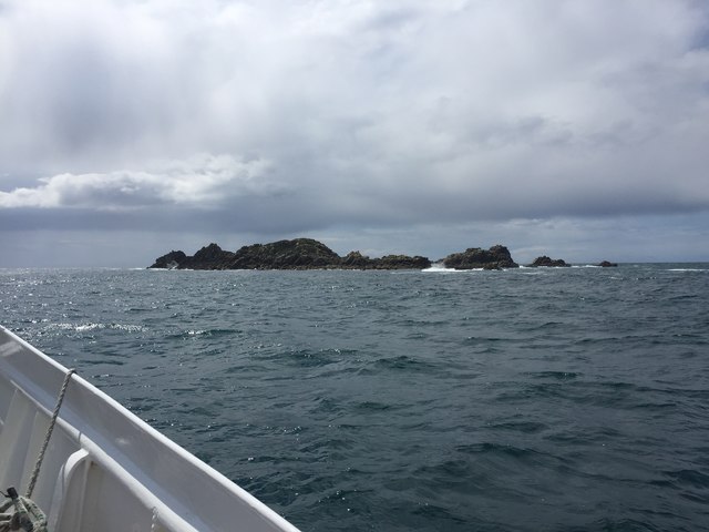
Outer Colvel Rock is a small island located off the coast of Cornwall, England. Situated in the Celtic Sea, this rocky outcrop is known for its stunning natural beauty and rich biodiversity. The island is approximately 200 meters long and 100 meters wide, with a total area of around 2 hectares.

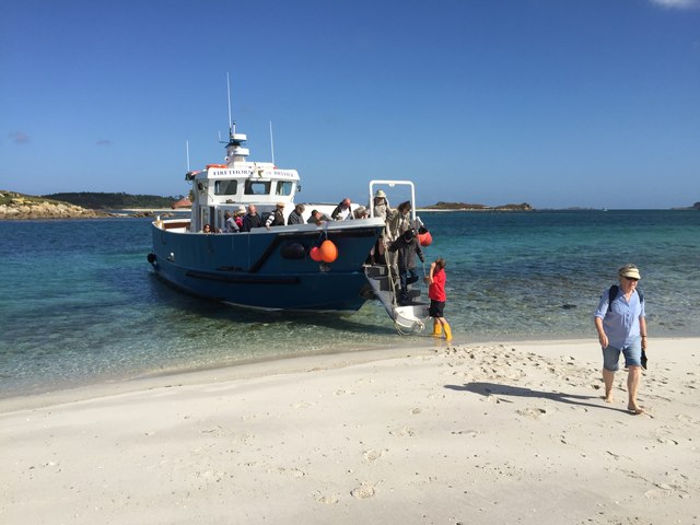
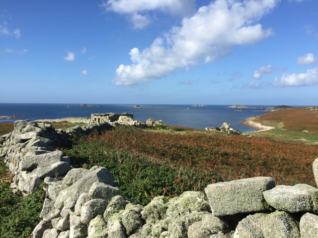
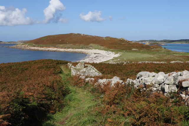
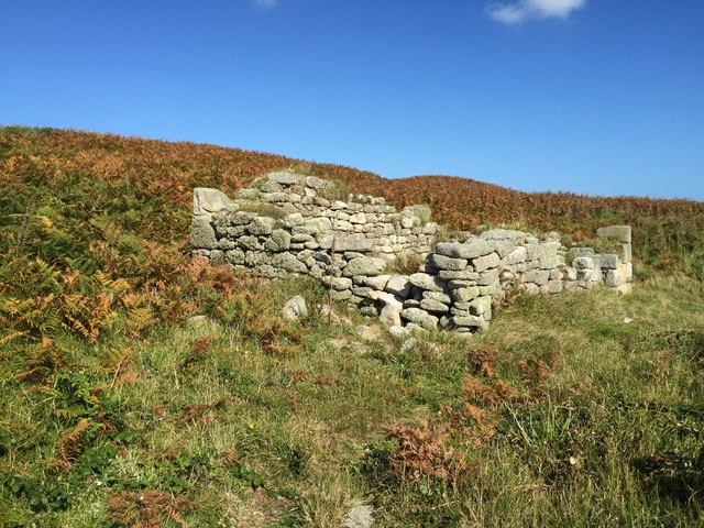
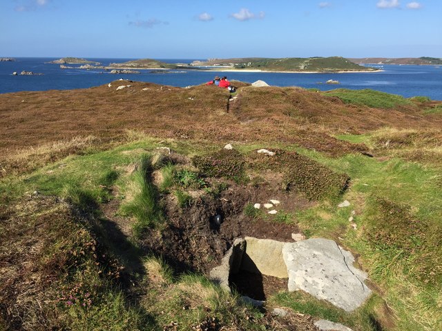
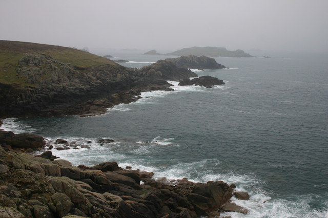
The landscape of Outer Colvel Rock is characterized by rugged cliffs that soar up to 30 meters in height, offering breathtaking views of the surrounding coastline. The island is accessible only by boat and is a popular destination for nature enthusiasts and birdwatchers.

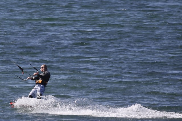
The island is home to a diverse range of wildlife, including various species of seabirds such as auks, gulls, and cormorants. Puffins, in particular, are a common sight during the breeding season. The surrounding waters of Outer Colvel Rock are also teeming with marine life, making it a popular spot for snorkeling and diving.

Outer Colvel Rock is a protected area, designated as a Site of Special Scientific Interest (SSSI), due to its ecological importance. It is managed by the Cornwall Wildlife Trust, which maintains the island's natural habitats and monitors the wildlife populations.

Visitors to Outer Colvel Rock can explore the island's rugged terrain, observe the nesting seabirds, and enjoy the tranquil atmosphere away from the mainland. It is important to note that access to the island may be restricted during certain times of the year to protect the breeding birds and their habitats.

If you have any feedback on the listing, please let us know in the comments section below.

Outer Colvel Rock Images

Images are sourced within 2km of 49.942089/-6.3605026 or Grid Reference SV8713. Thanks to Geograph Open Source API. All images are credited.

Plum Island Tresco View Across New Grimsby Harbour to Plum island  with the island of Bryher in the background and King Henry's Castle on the extreme right.
Plum Island Tresco
View Across New Grimsby Harbour to Plum island with the island of Bryher in the background and King Henry's Castle on the extreme right.
A misty day on Bryher Not such a good day, weather wise as the mist was down over the island most of the day. This dull view is looking towards Hell Bay Hotel.
A misty day on Bryher
Not such a good day, weather wise as the mist was down over the island most of the day. This dull view is looking towards Hell Bay Hotel.
Alighting on Samson Firethorn dropping off visitors to Samson.
Alighting on Samson
Firethorn dropping off visitors to Samson.
Stonewall on Samson At the uninhabited settlement on Samson
Stonewall on Samson
At the uninhabited settlement on Samson
Remnants on Samson Remnants of housing and stone walls on Samson
Remnants on Samson
Remnants of housing and stone walls on Samson
Abandoned dwelling An abandoned dwelling on Samson
Abandoned dwelling
An abandoned dwelling on Samson
Cairns on North Hill Burial chambers on North Hill, Samson
Cairns on North Hill
Burial chambers on North Hill, Samson
The vegetable garden In Tresco Abbey Gardens
The vegetable garden
In Tresco Abbey Gardens
Visitors leaving the vegetable garden In Tresco Abbey Gardens
Visitors leaving the vegetable garden
In Tresco Abbey Gardens
Kite Surfing In Appletree Bay, Tresco
Kite Surfing
In Appletree Bay, Tresco
Rainbow between Tresco and Bryher Looking north towards Plumb Island
Rainbow between Tresco and Bryher
Looking north towards Plumb Island
Osprey in front of Merrick Island In the channel between Tresco and Bryher
Osprey in front of Merrick Island
In the channel between Tresco and Bryher
Grazing by the pool A horse grazing by the Great Pool on Tresco
Grazing by the pool
A horse grazing by the Great Pool on Tresco
Hell Bay An aptly named bay on Bryher. It is the site of many ship wrecks. The weather was much worse for this image being grey, windy and quite damp.
Hell Bay
An aptly named bay on Bryher. It is the site of many ship wrecks. The weather was much worse for this image being grey, windy and quite damp.
Tresco Gig The gig race is famous on the Scilly Isles. This is the Tresco gig out for a practice row.
Tresco Gig
The gig race is famous on the Scilly Isles. This is the Tresco gig out for a practice row.
Tristans Treehouse In the trees above the Abbey Gardens
Tristans Treehouse
In the trees above the Abbey Gardens
Kite Surfing In Tresco Channel between Tresco and Bryher. All Saints' Church, Bryher is in the background.
Kite Surfing
In Tresco Channel between Tresco and Bryher. All Saints' Church, Bryher is in the background.
Mincarlo Island From Firethorn of Tresco Boat Services
Mincarlo Island
From Firethorn of Tresco Boat Services
Show me another place!

Outer Colvel Rock is located at Grid Ref: SV8713 (Lat: 49.942089, Lng: -6.3605026)

Division: Isles of Scilly

Unitary Authority: Isles of Scilly

Police Authority: Devon and Cornwall

What 3 Words

///syndicate.human.tiles. Near Bryher, Isles of Scilly

Related Wikis

Samson, Isles of Scilly

Samson (Cornish: (Enys) Sampson) is the largest uninhabited island of the Isles of Scilly, off the southwestern tip of the Cornish peninsula of Great Britain...

All Saints' Church, Bryher

All Saints' Church is a Grade II listed parish church in the Church of England located in Bryher, Isles of Scilly. == History == Bryher is the most westerly...

Bryher

Bryher (Cornish: Breyer, lit. 'place of hills') is one of the smallest inhabited islands of the Isles of Scilly, with a population of 84 in 2011, spread...

Gweal, Isles of Scilly

Gweal ( GWEEL; Cornish: Gwydhyel, lit. 'place of trees') is one of the Isles of Scilly. It is the largest of the seven Norrard Rocks due west of Bryher...

Nearby Amenities

Located within 500m of 49.942089,-6.3605026
Rushy Bay
Natural: bay
Lat/Long: 49.9447494/-6.3553407
Droppy Nose Point
Place: locality
Lat/Long: 49.9453851/-6.3636149
Stony Porth
Natural: bay
Lat/Long: 49.9454858/-6.3602024
The data included in this document is from www.openstreetmap.org. The data is made available under ODbL.

Have you been to Outer Colvel Rock?

Leave your review of Outer Colvel Rock below (or comments, questions and feedback).