Butts Hill
Hill, Mountain in Hertfordshire North Hertfordshire
England
Butts Hill
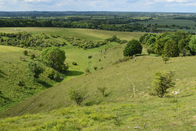
Butts Hill is a prominent geographical feature located in Hertfordshire, England. As the name suggests, it is classified as a hill rather than a mountain, standing at an elevation of approximately 177 meters (581 feet) above sea level. The hill is situated in the southern part of Hertfordshire, near the village of Cottered.
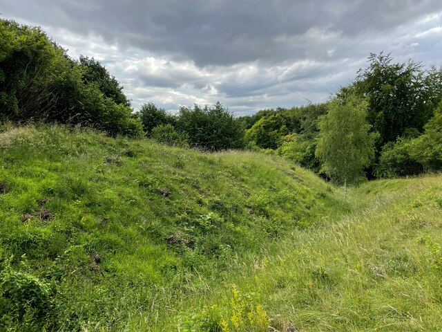
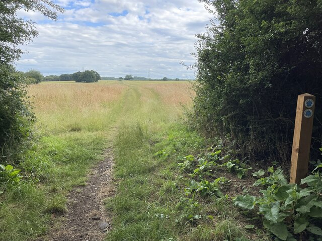
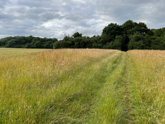
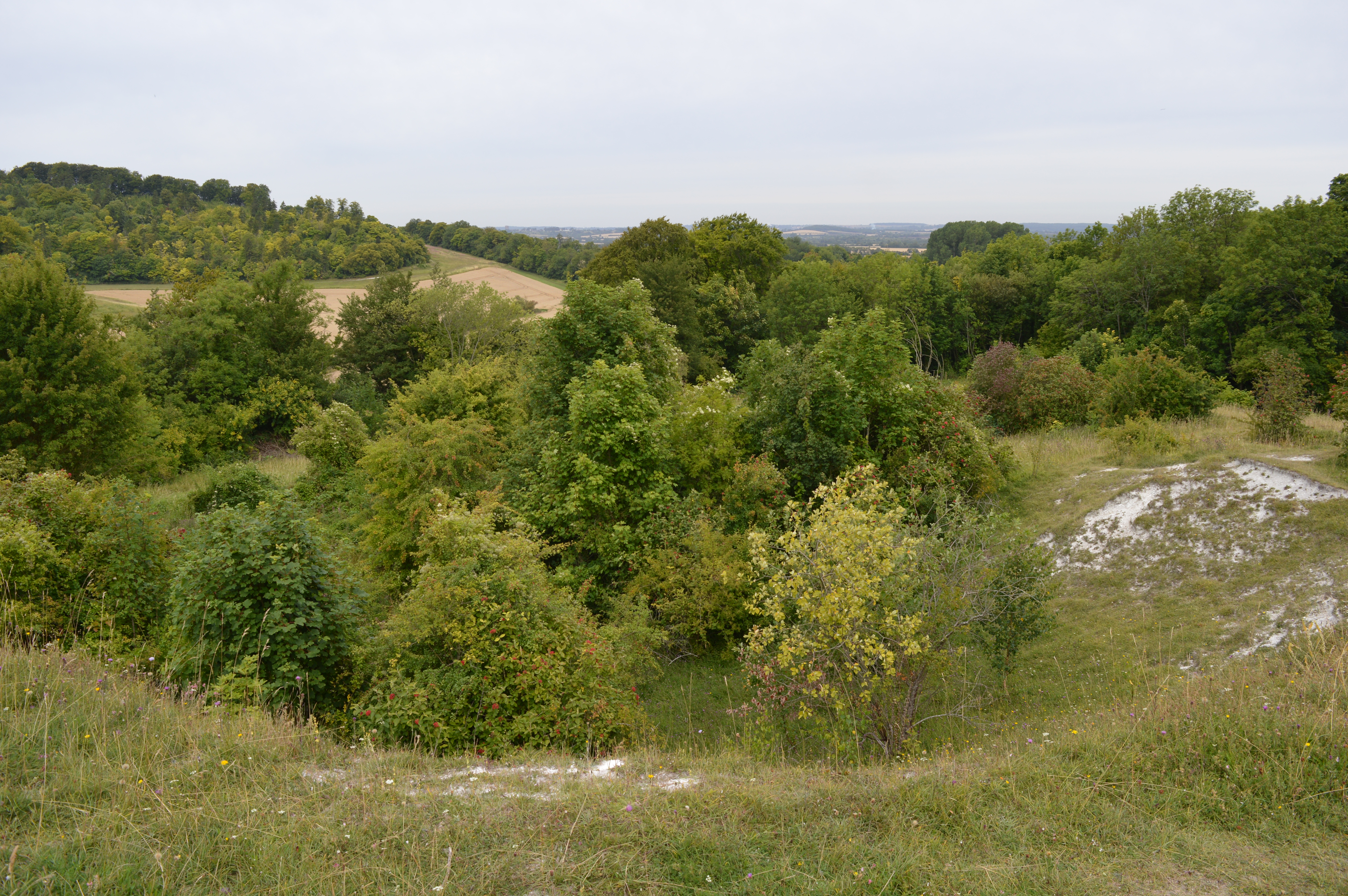
Butts Hill offers breathtaking panoramic views of the surrounding countryside, making it a popular destination for nature enthusiasts and hikers. The hill is primarily covered in lush green meadows and is dotted with a variety of trees, including oak and beech. These natural elements add to the picturesque charm of the area.
The hill's name, "Butts," is believed to be derived from the archery practice that took place here in medieval times. "Butts" refers to the targets used for archery training, suggesting that the area might have served as a practice ground for the local archers.
Today, Butts Hill is a designated Area of Outstanding Natural Beauty (AONB), which means it is protected and preserved to maintain its natural and scenic qualities. It provides an ideal habitat for various wildlife species, including birds, small mammals, and insects.
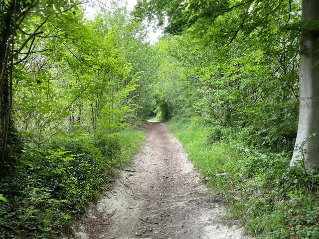
Access to Butts Hill is relatively easy, with several footpaths and trails leading to its summit. Visitors can enjoy leisurely strolls or more challenging hikes, depending on their preferences and fitness levels. The hill also offers opportunities for outdoor activities such as picnicking and photography, allowing visitors to immerse themselves in the tranquility and beauty of the Hertfordshire countryside.
If you have any feedback on the listing, please let us know in the comments section below.
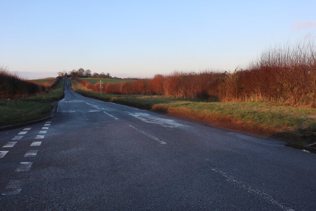
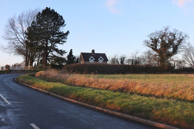
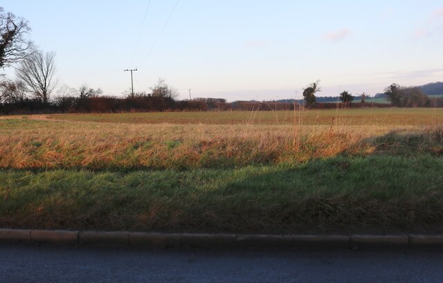
Butts Hill Images
Images are sourced within 2km of 51.95623/-0.38803131 or Grid Reference TL1029. Thanks to Geograph Open Source API. All images are credited.


Butts Hill is located at Grid Ref: TL1029 (Lat: 51.95623, Lng: -0.38803131)
Administrative County: Hertfordshire
District: North Hertfordshire
Police Authority: Hertfordshire
What 3 Words
///tell.hood.resist. Near Barton-le-Clay, Bedfordshire
Nearby Locations
Related Wikis
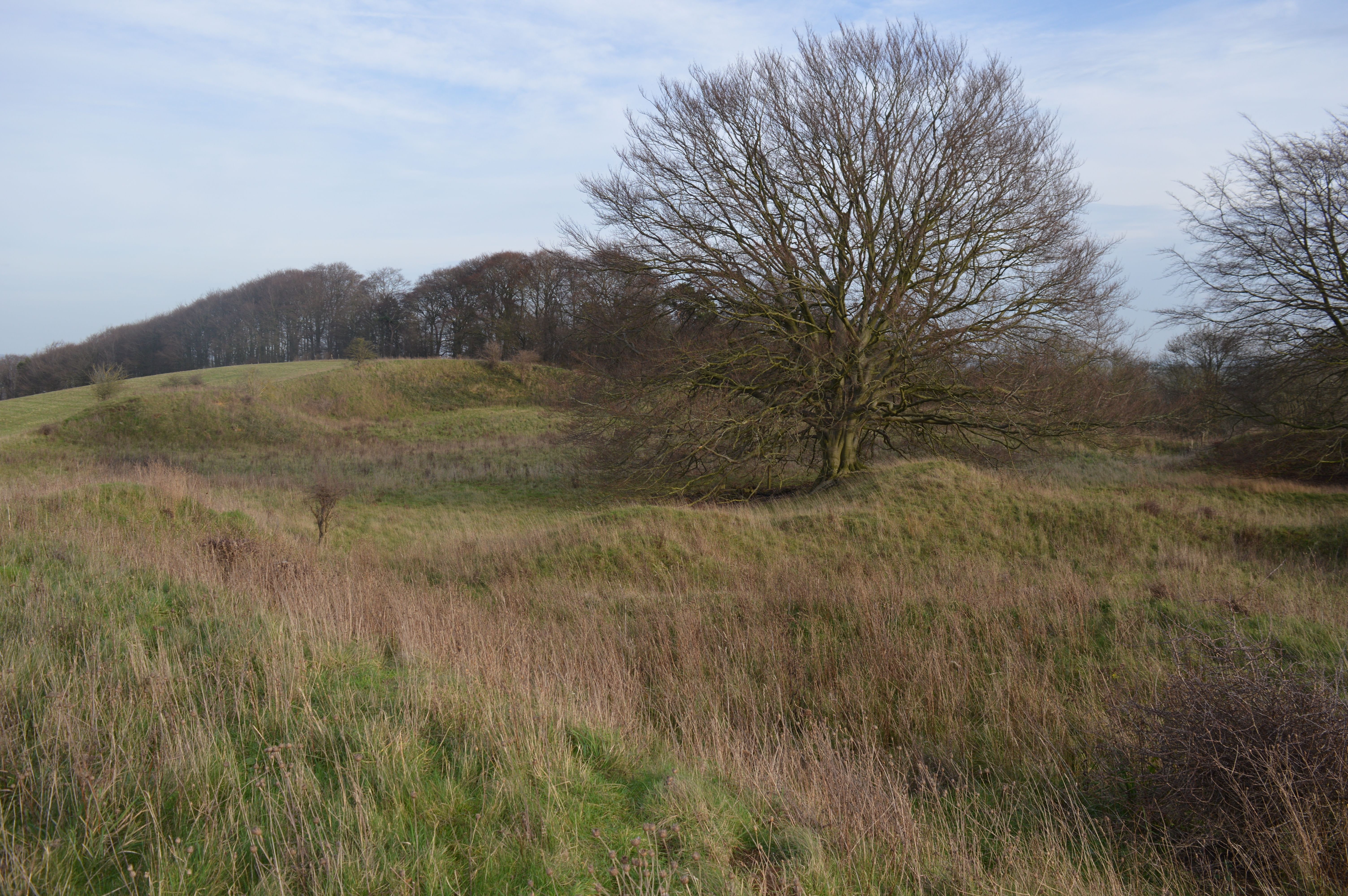
Hexton Chalk Pit
Hexton Chalk Pit is a 1.9-hectare (4.7-acre) nature reserve in Hexton in North Hertfordshire, managed by the Herts and Middlesex Wildlife Trust. It is...
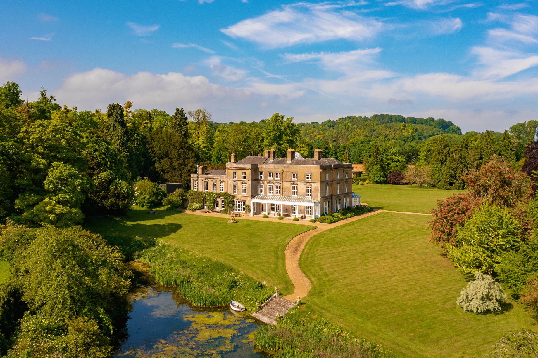
Hexton Manor
Hexton Manor is a country house in Hexton, Hertfordshire that has been home to the Lautour family, descendants of the Dukes of Bouillon and Major Sir Patrick...

Hexton
Hexton is a small village and civil parish in Hertfordshire, England, about 6 miles (10 km) west of Hitchin. This parish is a salient of Hertfordshire...
St Faith's Church, Hexton
Saint Faith's Church, Hexton is the Anglican parish church for the village of Hexton, Hertfordshire. The church is within the parish of Barton-le-Clay...
Barton Gravel Pit
Barton Gravel Pit is a 1.1-hectare (2.7-acre) nature reserve east of Barton-le-Clay in Bedfordshire. It is managed by the Wildlife Trust for Bedfordshire...

Pegsdon
Pegsdon is a hamlet located in the Central Bedfordshire district of Bedfordshire, England. It is part of the Shillington civil parish, and is almost encircled...

Pegsdon Hills and Hoo Bit
Pegsdon Hills and Hoo Bit is a 79-hectare (200-acre) nature reserve in Pegsdon in Bedfordshire. It is managed by the Wildlife Trust for Bedfordshire, Cambridgeshire...
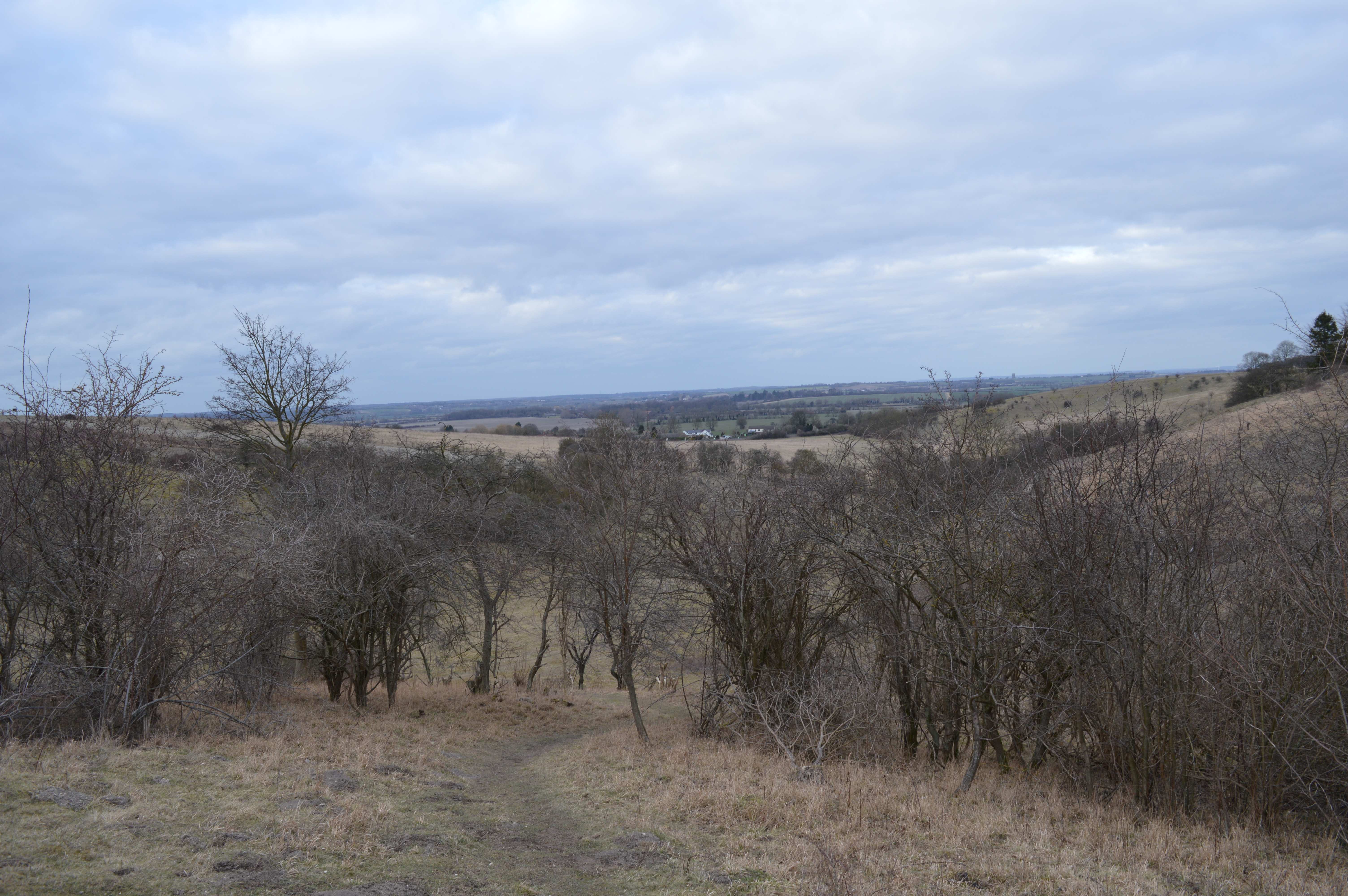
Deacon Hill SSSI
Deacon Hill SSSI is a 35.4-hectare (87-acre) biological Site of Special Scientific Interest in Pegsdon in Bedfordshire. It is in the Chilterns Area of...
Nearby Amenities
Located within 500m of 51.95623,-0.38803131Have you been to Butts Hill?
Leave your review of Butts Hill below (or comments, questions and feedback).