Dunner Hill

Hill, Mountain in Sussex Chichester

England

Dunner Hill

Woolbeding Common - the western slopes of Telegraph Hill
Woolbeding Common - the western slopes of Telegraph Hill Credit: Ian Cunliffe

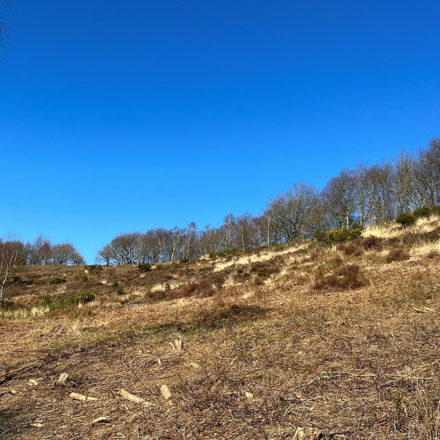
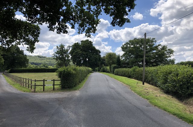
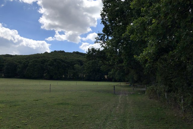
Dunner Hill, located in Sussex, is a prominent hill that offers stunning views and is a popular destination for outdoor enthusiasts. Standing at an impressive height of 244 meters (801 feet), it is often referred to as Dunner Hill or Dunner Hill Mountain by locals. The hill is situated in the South Downs National Park, an area known for its natural beauty and diverse wildlife.

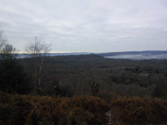
One of the main attractions of Dunner Hill is its commanding panoramic views. From its summit, visitors can enjoy breathtaking vistas of the surrounding countryside, including rolling hills, picturesque valleys, and a patchwork of fields. On clear days, it is even possible to catch a glimpse of the English Channel shimmering in the distance.

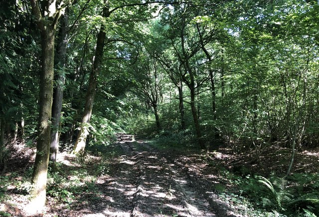
The hill is easily accessible and offers various routes for hikers, walkers, and nature lovers to explore. There are well-marked paths leading to the summit, making it suitable for individuals of all fitness levels. The ascent is relatively gentle, and the hill is a popular destination for families looking for a leisurely day out in nature.

In addition to its natural beauty, Dunner Hill is also home to a variety of flora and fauna. The area is rich in biodiversity, with an abundance of wildflowers, butterflies, and small mammals. Birdwatchers will also be delighted by the presence of numerous species, including buzzards, kestrels, and various songbirds.

Overall, Dunner Hill in Sussex offers a unique and rewarding outdoor experience. Whether it is to soak in the stunning views, enjoy a peaceful walk, or appreciate the natural wonders of the South Downs National Park, this hill is a must-visit destination for nature enthusiasts and those looking to escape the hustle and bustle of everyday life.

If you have any feedback on the listing, please let us know in the comments section below.
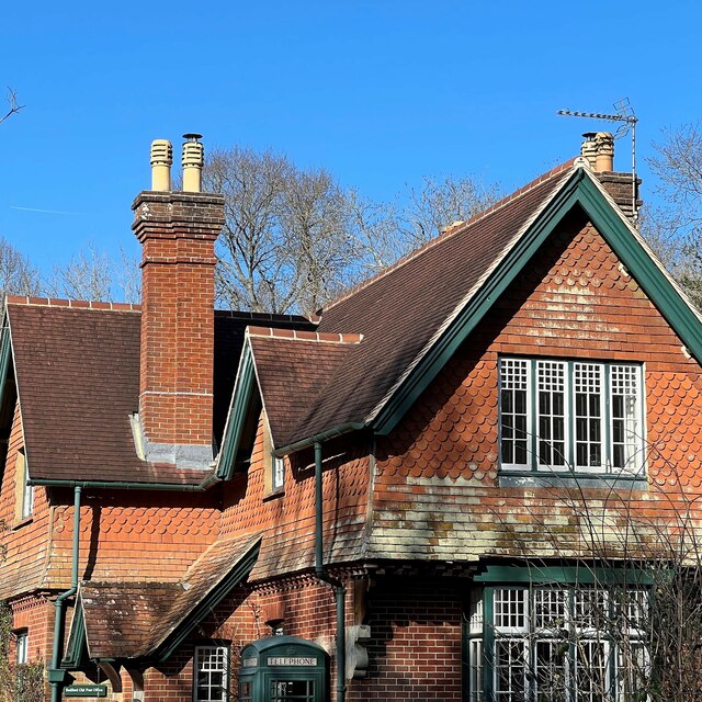
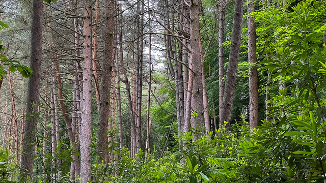
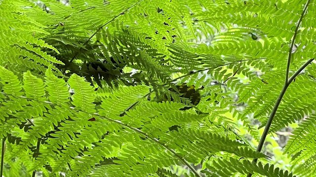
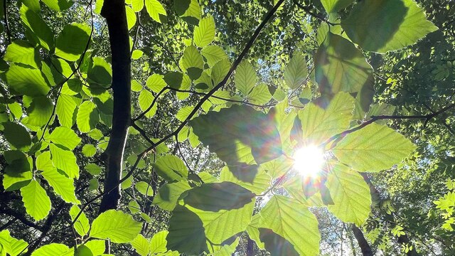
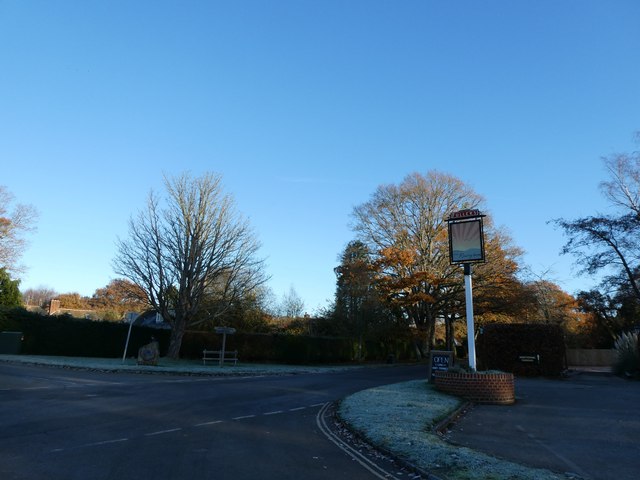
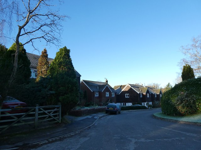
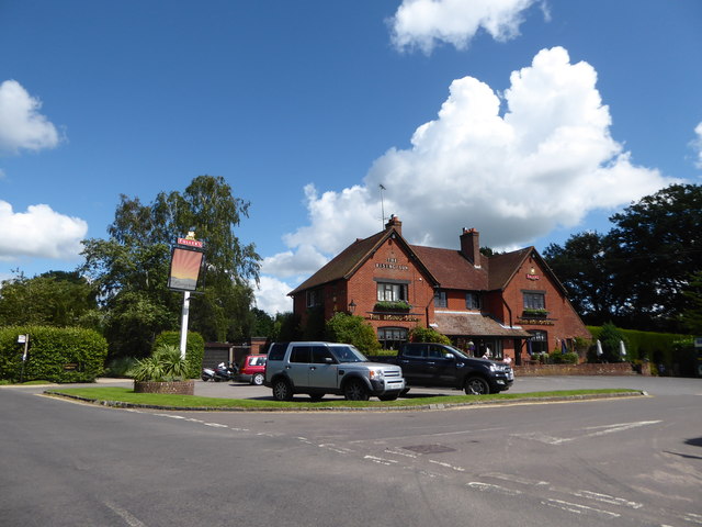
Dunner Hill Images

Images are sourced within 2km of 51.022255/-0.78755047 or Grid Reference SU8525. Thanks to Geograph Open Source API. All images are credited.

Woolbeding Common - the western slopes of Telegraph Hill
House on Linch Road This striking house has an old-style telephone box painted green to match its exterior woodwork. Other pics in the grid square suggest it was previously a shop and a post office. Perhaps it still is? I don't think so, but I didn't check. This would account for the phone box anyway.
House on Linch Road
This striking house has an old-style telephone box painted green to match its exterior woodwork. Other pics in the grid square suggest it was previously a shop and a post office. Perhaps it still is? I don't think so, but I didn't check. This would account for the phone box anyway.
Conifers in the north part of Oakham Common
Ferns on Oakham Common
Sunlight and leaves near the New Lipchis Way
Milland: the first frost of this winter (b) Milland: the first frost of this winter
Milland: the first frost of this winter (b)
Milland: the first frost of this winter
Milland: the first frost of this winter (e) Pennels Close
Milland: the first frost of this winter (e)
Pennels Close
Main road style pub in the middle of nowhere There's a story here. This ultra quiet road in Milland was going to be part of the proposed Petersfield by-pass; and the brewers put it up in anticipation of a roaring passing trade. However, the by-pass was re-routed to go the other side of Peef: doh!
Main road style pub in the middle of nowhere
There's a story here. This ultra quiet road in Milland was going to be part of the proposed Petersfield by-pass; and the brewers put it up in anticipation of a roaring passing trade. However, the by-pass was re-routed to go the other side of Peef: doh!
Fly Agaric on Woolbeding Common
View across Woolbeding Common
Older Hill Copse On public footpath number 1273 passing through Older Hill Copse.
Older Hill Copse
On public footpath number 1273 passing through Older Hill Copse.
We are in the Garden Due to the Covid-19 pandemic the wording on the sign on the main door at the Rising Sun, that says  “We are in the Garden”, has taken on a whole new meaning. It means that they are only serving drinks in the pubs garden area. However, it was closed at the time.
We are in the Garden
Due to the Covid-19 pandemic the wording on the sign on the main door at the Rising Sun, that says “We are in the Garden”, has taken on a whole new meaning. It means that they are only serving drinks in the pubs garden area. However, it was closed at the time.
Driveway to Waldergrove Farm The driveway is also a public footpath (number 1174).
Driveway to Waldergrove Farm
The driveway is also a public footpath (number 1174).
Church near Milland Milland Evangelical Church, which originally started back in 1909 as the Milland Mission Hall.
Church near Milland
Milland Evangelical Church, which originally started back in 1909 as the Milland Mission Hall.
Roman Posting Station On the Iping Road looking southwards. The slight rise in the road just ahead indicates the site of a Roman Posting Station on the OS Map.
Historic England records this as a Scheduled Monument. It is described as a Mansio, which is a mainly masonry built building, providing accommodation and stabling for travellers associated with the Cursus Publicus - the provincial Postal Service of Roman Britain.
See <span class="nowrap"><a title="https://historicengland.org.uk/listing/the-list/list-entry/1015887" rel="nofollow ugc noopener" href="https://historicengland.org.uk/listing/the-list/list-entry/1015887">Link</a><img style="margin-left:2px;" alt="External link" title="External link - shift click to open in new window" src="https://s1.geograph.org.uk/img/external.png" width="10" height="10"/></span>
Roman Posting Station
On the Iping Road looking southwards. The slight rise in the road just ahead indicates the site of a Roman Posting Station on the OS Map. Historic England records this as a Scheduled Monument. It is described as a Mansio, which is a mainly masonry built building, providing accommodation and stabling for travellers associated with the Cursus Publicus - the provincial Postal Service of Roman Britain. See LinkExternal link
Heading towards Dunner Hill On public footpath number 3297 with Dunner Hill prominent in the background.
Heading towards Dunner Hill
On public footpath number 3297 with Dunner Hill prominent in the background.
Track near Queen’s Corner Heading towards Titty Hill with Lyford Copse on the left.
Track near Queen’s Corner
Heading towards Titty Hill with Lyford Copse on the left.
Track Junction A number of paths join at this point on the track at Titty Hill. The Serpent Trail merges in from the right. The trail is a 64 mile long distance footpath between Petersfield and Haslemere.
Track Junction
A number of paths join at this point on the track at Titty Hill. The Serpent Trail merges in from the right. The trail is a 64 mile long distance footpath between Petersfield and Haslemere.
Show me another place!

Dunner Hill is located at Grid Ref: SU8525 (Lat: 51.022255, Lng: -0.78755047)

Administrative County: West Sussex

District: Chichester

Police Authority: Sussex

What 3 Words

///pots.tarnished.assemble. Near Midhurst, West Sussex

Related Wikis

Titty Hill

Titty Hill is a hamlet in the civil parish of Milland in the Chichester district of West Sussex, England. It is close to a Roman way station or mansio...

Wispers

Wispers is a Grade II listed British country house in the parish of Stedham with Iping near Midhurst, West Sussex. The house was built in 1874–1876 by...

Milland

Milland is a village and civil parish in the Chichester district of West Sussex, England. It is situated north of the A272 road on the border with Hampshire...

Chithurst Buddhist Monastery

Cittaviveka (Pali: 'discerning mind'), commonly known as Chithurst Buddhist Monastery, is an English Theravada Buddhist Monastery in the Thai Forest Tradition...

Linch

Linch is an Anglican parish, and a loose collection of hamlets that make up the civil parish of the same name in the Chichester District of West Sussex...

Iping

Iping is a village and former civil parish, now in the parish of Stedham with Iping, in the Chichester district of West Sussex, England. It lies just off...

Stedham with Iping

Stedham with Iping is a civil parish in the Chichester district of West Sussex, England. It is approximately two miles (3 km) west of Midhurst and comprises...

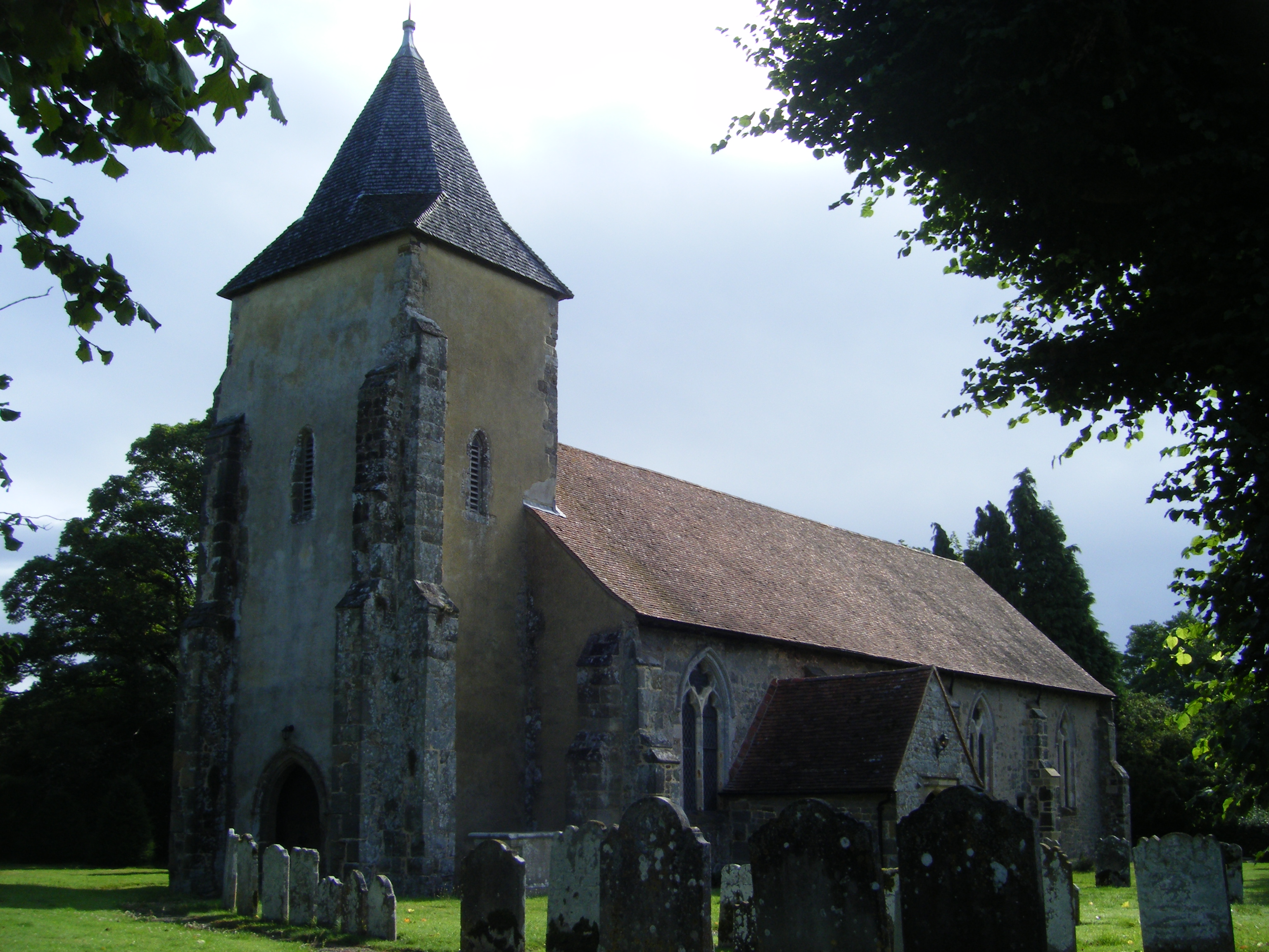
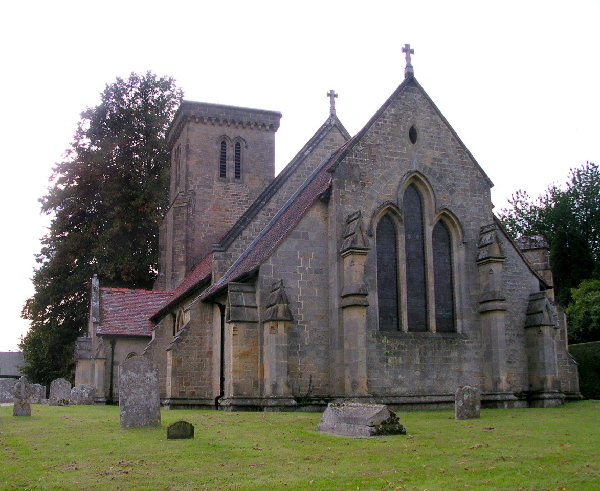
St George's Church, Trotton

St. George's Church is an Anglican church in Trotton, a village in the district of Chichester, one of seven local government districts in the English county...

Nearby Amenities

Located within 500m of 51.022255,-0.78755047
Barrier: stile
Lat/Long: 51.0212185/-0.7867948
Titty Hill
Place: hamlet
Wikidata: Q7810258
Lat/Long: 51.0248509/-0.7820736
Barrier: stile
Lat/Long: 51.018286/-0.785278
Barrier: stile
Lat/Long: 51.0183843/-0.785412
Dunner Hill
Ele: 145
Natural: peak
Lat/Long: 51.0220817/-0.7875834
Barrier: stile
Lat/Long: 51.022523/-0.7864231
Barrier: stile
Lat/Long: 51.0236598/-0.7869977
Barrier: stile
Lat/Long: 51.02399/-0.7879959
Post Box
Collection Times: Mo-Fr 16:30; Sa 09:30
Post Box Type: lamp
Ref: GU29 116
Royal Cypher: EIIR
Royal Cypher Wikidata: Q33102113
Lat/Long: 51.0251914/-0.787952
Barrier: stile
Lat/Long: 51.0226542/-0.7946634
The data included in this document is from www.openstreetmap.org. The data is made available under ODbL.

Have you been to Dunner Hill?

Leave your review of Dunner Hill below (or comments, questions and feedback).