Birch Hill
Hill, Mountain in Berkshire Vale of White Horse
England
Birch Hill

Birch Hill is a small hill located in the county of Berkshire, England. With an elevation of approximately 150 meters (492 feet), it is considered one of the lower hills in the area. Situated in the southern part of the county, Birch Hill is part of the larger Bracknell Forest district.
The hill is predominantly covered in birch trees, which give it its name. These trees create a picturesque landscape, especially during the spring and autumn seasons when their leaves change color. Birch Hill offers several walking paths and trails that allow visitors to explore its natural beauty.
From the top of Birch Hill, one can enjoy panoramic views of the surrounding countryside, including nearby towns such as Bracknell and Ascot. On clear days, it is even possible to catch a glimpse of the distant city of London. This makes Birch Hill a popular destination for nature enthusiasts and photographers alike.
In addition to its natural attractions, Birch Hill is also home to a small community of residents. The hillside is dotted with residential properties, providing a peaceful and tranquil living environment. Local amenities, such as shops, schools, and recreational facilities, are easily accessible from Birch Hill.
Overall, Birch Hill offers a serene escape from the hustle and bustle of urban life. Its natural beauty, combined with its convenient location, makes it an attractive destination for both residents and visitors seeking a peaceful retreat in the heart of Berkshire.
If you have any feedback on the listing, please let us know in the comments section below.
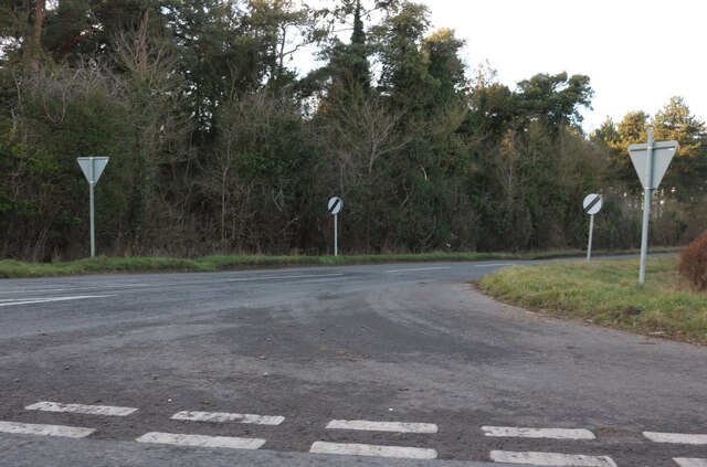
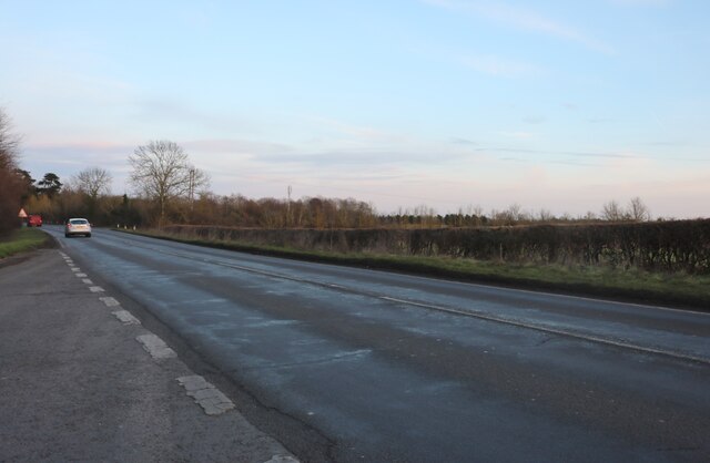
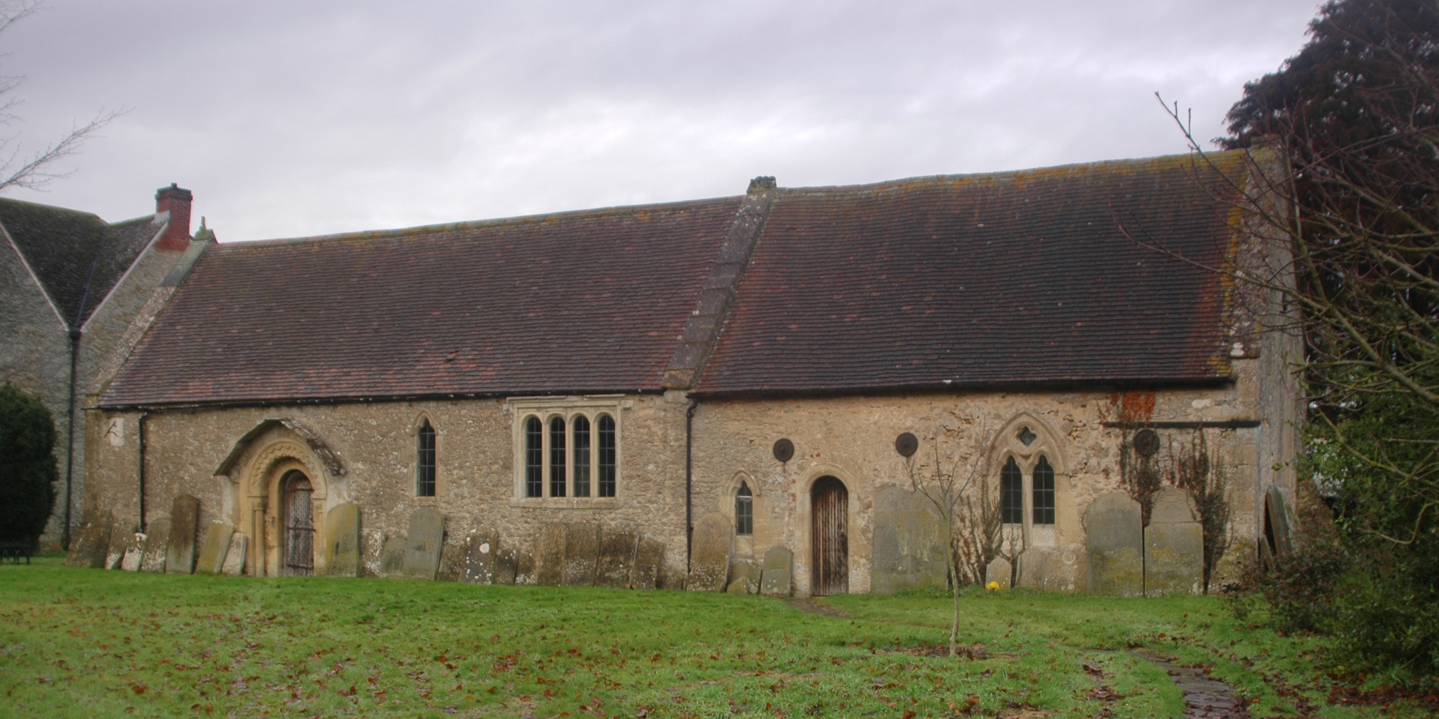
Birch Hill Images
Images are sourced within 2km of 51.658841/-1.5020702 or Grid Reference SU3495. Thanks to Geograph Open Source API. All images are credited.


Birch Hill is located at Grid Ref: SU3495 (Lat: 51.658841, Lng: -1.5020702)
Administrative County: Oxfordshire
District: Vale of White Horse
Police Authority: Thames Valley
What 3 Words
///kick.haggling.swerving. Near Stanford in the Vale, Oxfordshire
Nearby Locations
Related Wikis
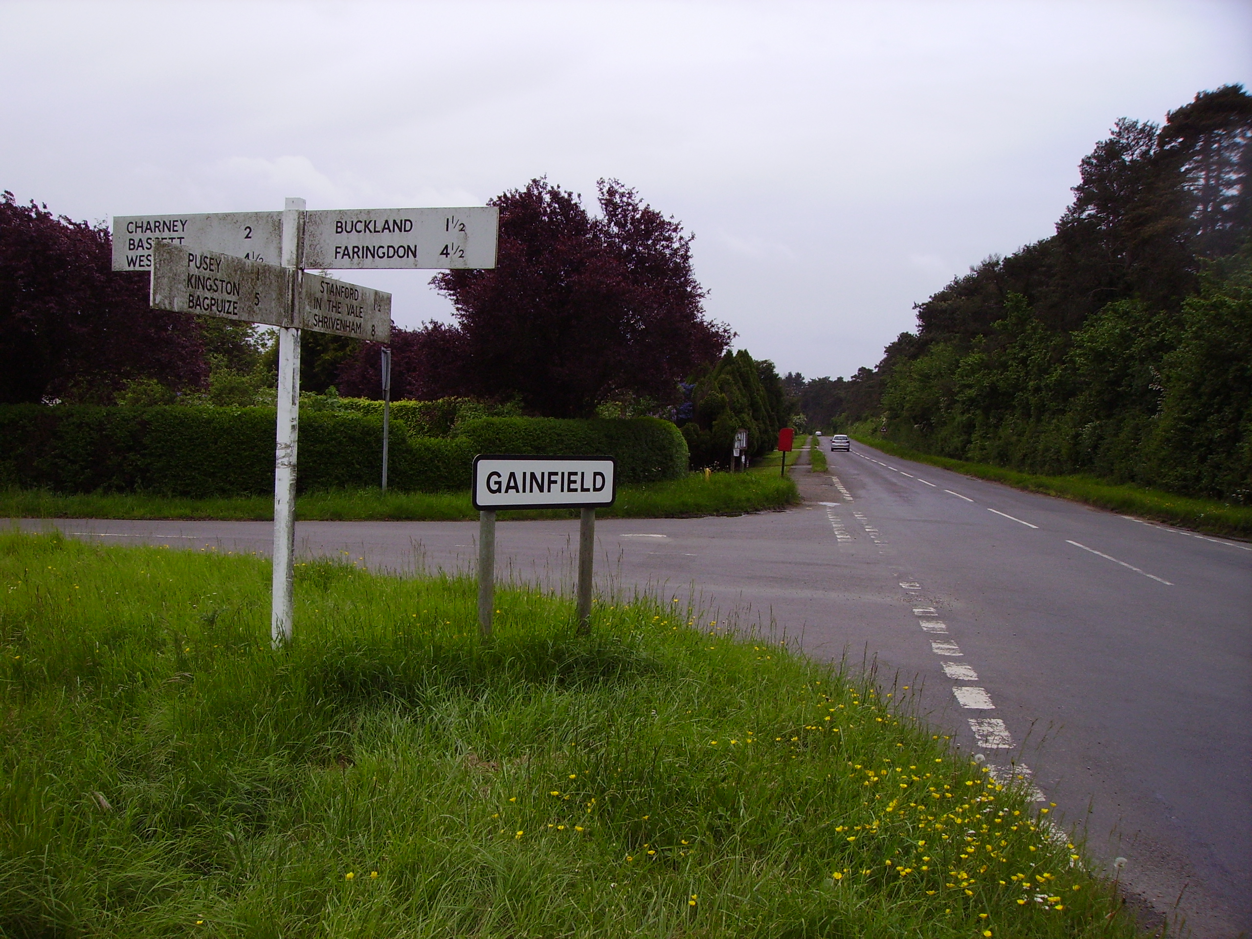
Gainfield
Gainfield is a small ribbon development in Buckland civil parish about 4 miles (6.4 km) east of Faringdon in the Vale of the White Horse District of England...
Hatford
Hatford is a village and civil parish of some 1,000 acres (400 ha) in the Vale of White Horse. It was part of Berkshire until the 1974 boundary changes...

Buckland Warren
Buckland Warren is a 0.04-hectare (0.099-acre) biological Site of Special Scientific Interest (SSSI) east of Faringdon in Oxfordshire.This narrow strip...
Pusey, Oxfordshire
Pusey is a village and civil parish 4 miles (6.4 km) east of Faringdon in the Vale of White Horse district. It was part of Berkshire until the 1974 boundary...

Bow, Oxfordshire
Bow is a hamlet contiguous with Stanford in the Vale in Oxfordshire, England. == External links == Media related to Bow, Oxfordshire at Wikimedia Commons

Buckland, Oxfordshire
Buckland is a village and large civil parish about 4 miles (6.4 km) northeast of Faringdon in the Vale of White Horse District. Buckland was part of Berkshire...

Shellingford Crossroads Quarry
Shellingford Crossroads Quarry is a 2.6-hectare (6.4-acre) geological Site of Special Scientific Interest west of Stanford in the Vale in Oxfordshire....
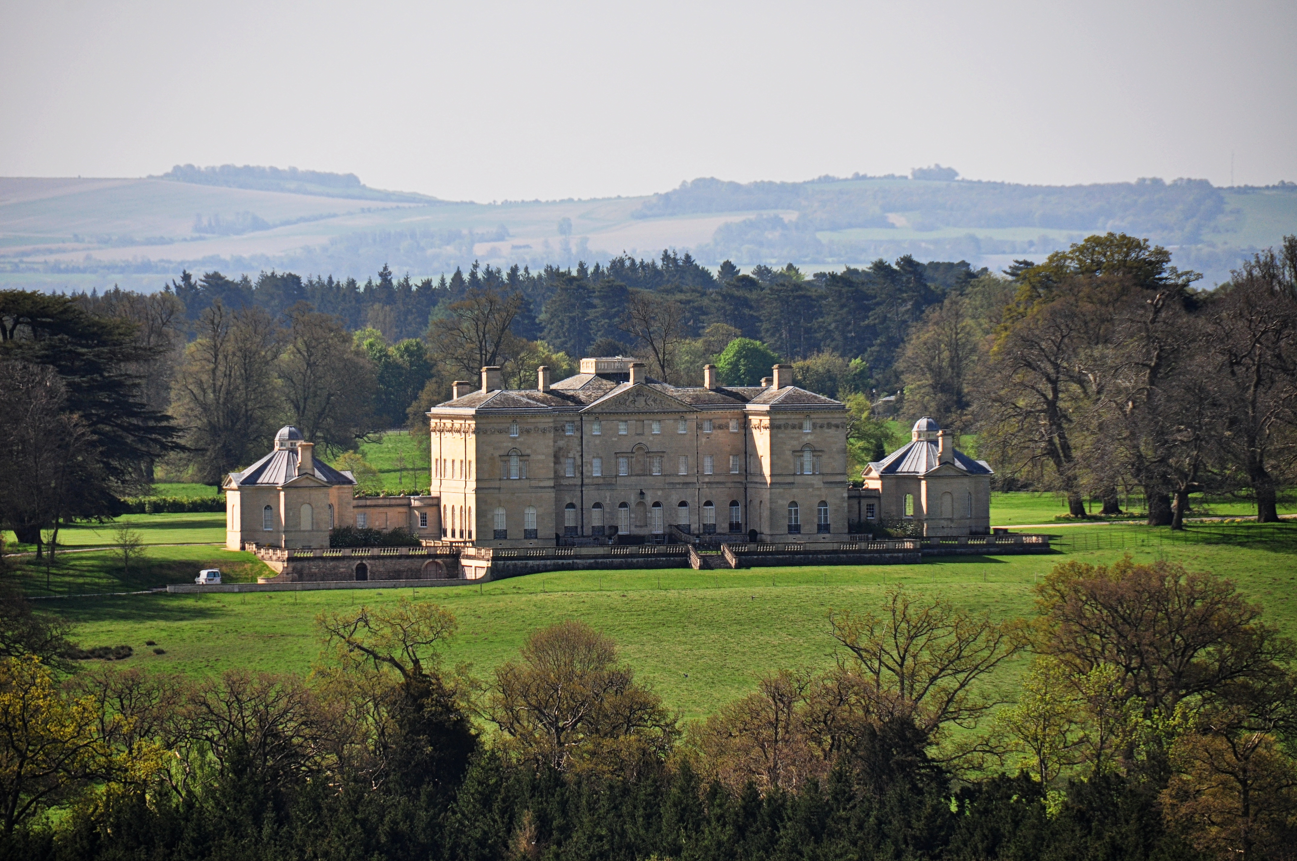
Buckland House
Buckland House is a large Georgian stately home, the manor house of Buckland in Oxfordshire, England (formerly in Berkshire). It is a masterpiece of Palladian...
Nearby Amenities
Located within 500m of 51.658841,-1.5020702Have you been to Birch Hill?
Leave your review of Birch Hill below (or comments, questions and feedback).