Nannie Naird Hill
Hill, Mountain in Wigtownshire
Scotland
Nannie Naird Hill
Nannie Naird Hill is a prominent geographical feature located in Wigtownshire, a historic county in southwestern Scotland. Situated in the Rhinns of Galloway, Nannie Naird Hill is a mountain that offers breathtaking panoramic views of the surrounding landscape.
Standing at an elevation of approximately 297 meters (974 feet), Nannie Naird Hill is a popular destination for hikers and nature enthusiasts. The hill is characterized by its gentle slopes and grassy terrain, allowing visitors of all fitness levels to enjoy its beauty. A well-maintained path leads to the summit, making it accessible and safe for those wishing to explore the area.
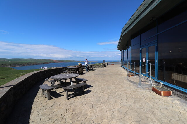
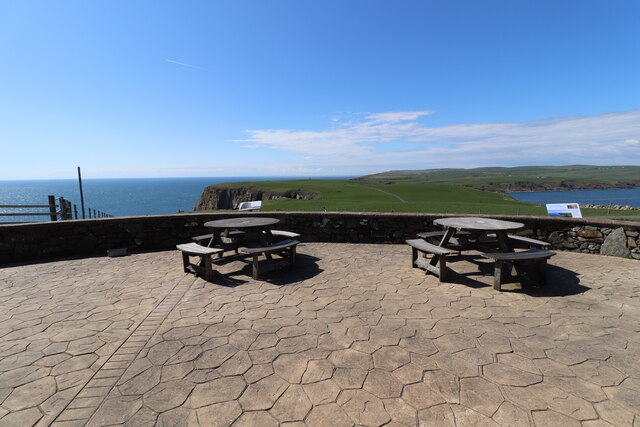
From the top of Nannie Naird Hill, visitors are rewarded with stunning vistas of Wigtown Bay to the east and the Irish Sea to the west. On clear days, the Isle of Man can be seen in the distance, adding to the charm of the hill.
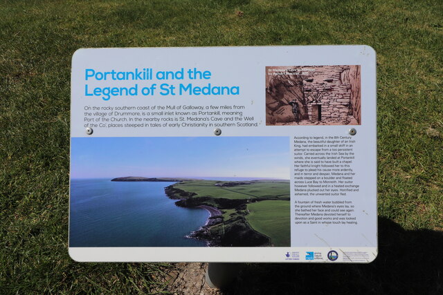
The hill takes its name from the Nannie Naird, a legendary figure in local folklore. According to local tales, Nannie Naird was a wise woman who lived in the area many centuries ago. She was believed to possess magical powers and was highly respected by the community.
Nannie Naird Hill offers a peaceful and serene escape from the hustle and bustle of everyday life. With its captivating views and historical significance, it is a must-visit destination for anyone exploring the enchanting region of Wigtownshire.
If you have any feedback on the listing, please let us know in the comments section below.
Nannie Naird Hill Images
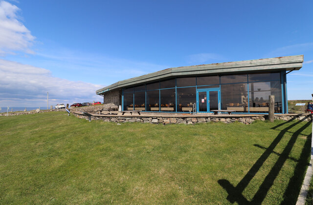
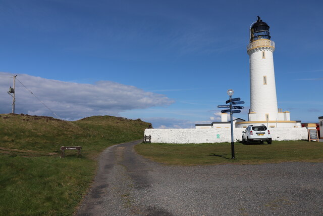
Images are sourced within 2km of 54.635838/-4.8665169 or Grid Reference NX1530. Thanks to Geograph Open Source API. All images are credited.
Nannie Naird Hill is located at Grid Ref: NX1530 (Lat: 54.635838, Lng: -4.8665169)
Unitary Authority: Dumfries and Galloway
Police Authority: Dumfries and Galloway
What 3 Words
///array.guru.once. Near Drummore, Dumfries & Galloway
Nearby Locations
Related Wikis

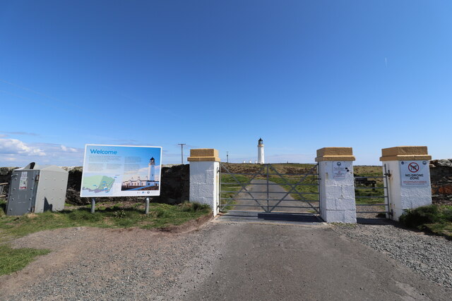
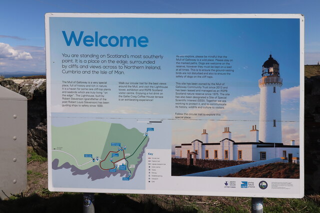
Mull of Galloway
The Mull of Galloway (Scottish Gaelic: Maol nan Gall, pronounced [mɯːlˠ̪ nəŋ ˈkaulˠ̪]; grid reference NX158303) is the southernmost point of Scotland....

Cairngaan
Cairngaan, Wigtownshire, is the southmost settlement in Scotland. The hamlet of Cairngaan lies just north of the Mull of Galloway (which contains Scotland...
Drummore
Drummore (drum-ORE; (from Gaelic An Druim Mòr meaning "the great ridge") is the southernmost village in Scotland, located at the southern end of the Rhins...

Pasages (steam trawler)
ST Pasages (FD 119) was originally a Canadian "Castle" – TR series minesweeping trawler built by the Dominion Shipbuilding Company, Toronto, in 1917 for...
Nearby Amenities
Located within 500m of 54.635838,-4.8665169Have you been to Nannie Naird Hill?
Leave your review of Nannie Naird Hill below (or comments, questions and feedback).