Blea Wheel
Cliff, Slope in Yorkshire South Lakeland
England
Blea Wheel
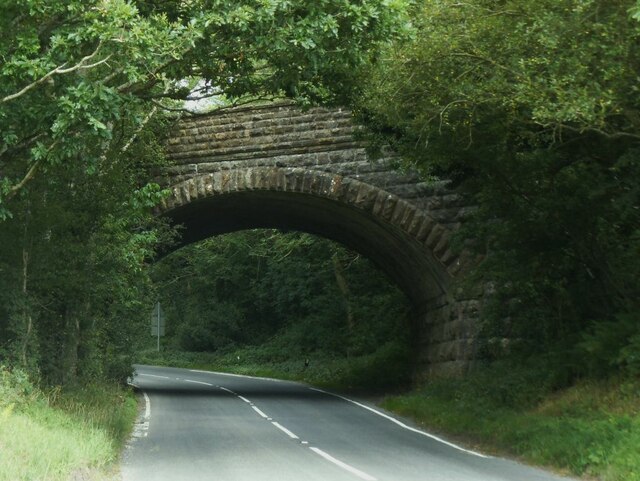
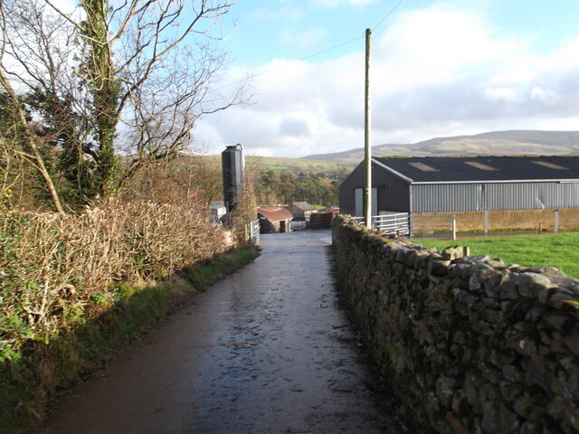
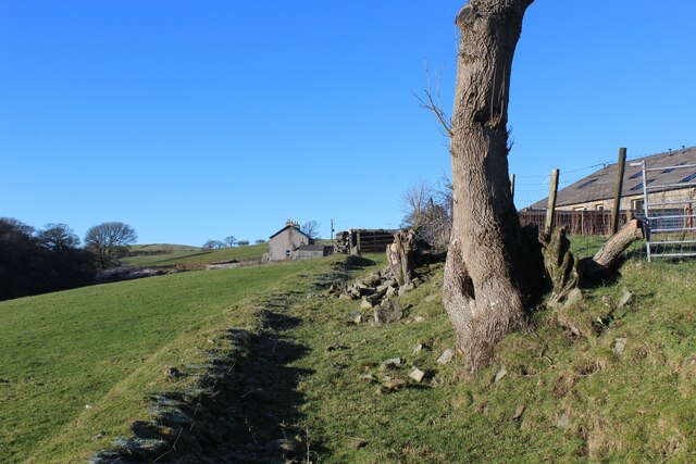
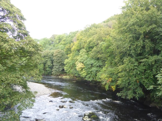
Blea Wheel is a prominent geographical feature located in Yorkshire, England. This natural formation is a cliff or slope that offers breathtaking views and attracts visitors from far and wide.
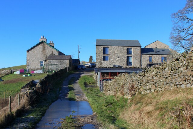
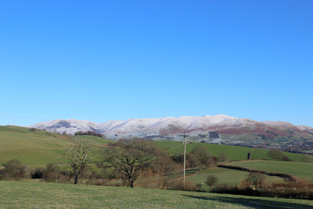
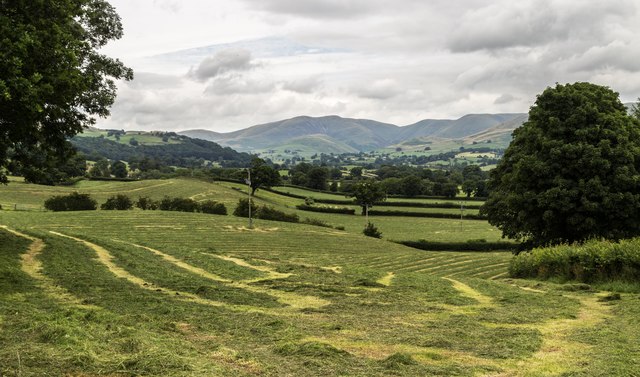
Situated in the heart of the beautiful Yorkshire Dales, Blea Wheel is known for its rugged and dramatic landscape. It stands tall, overlooking the surrounding countryside, and its distinctive shape is a result of millions of years of geological processes.
The cliff or slope of Blea Wheel is characterized by its steepness and sheer drop, providing an awe-inspiring sight for those who venture near it. The rugged terrain is composed of various rock types, including limestone and gritstone, which have been shaped by erosion over time.
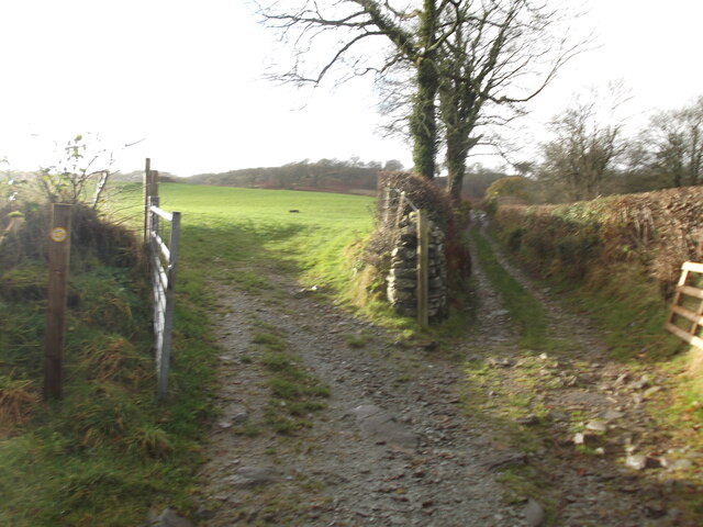
Due to its location in the Yorkshire Dales National Park, Blea Wheel offers a multitude of outdoor recreational opportunities. Hikers and climbers are drawn to the challenge of scaling its heights, while nature enthusiasts appreciate the diverse flora and fauna that thrive in this unique ecosystem.
Blea Wheel is also a popular spot for photographers and artists, who are captivated by the ever-changing play of light and shadow on the cliff face. The panoramic views from the top are particularly stunning, showcasing the vast expanse of the Yorkshire Dales and the picturesque villages nestled below.
With its combination of natural beauty, geological significance, and recreational opportunities, Blea Wheel is a must-visit destination for anyone exploring the Yorkshire region. Whether you seek adventure, tranquility, or inspiration, this remarkable cliff or slope will leave an indelible impression on all who encounter it.
If you have any feedback on the listing, please let us know in the comments section below.
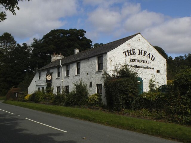
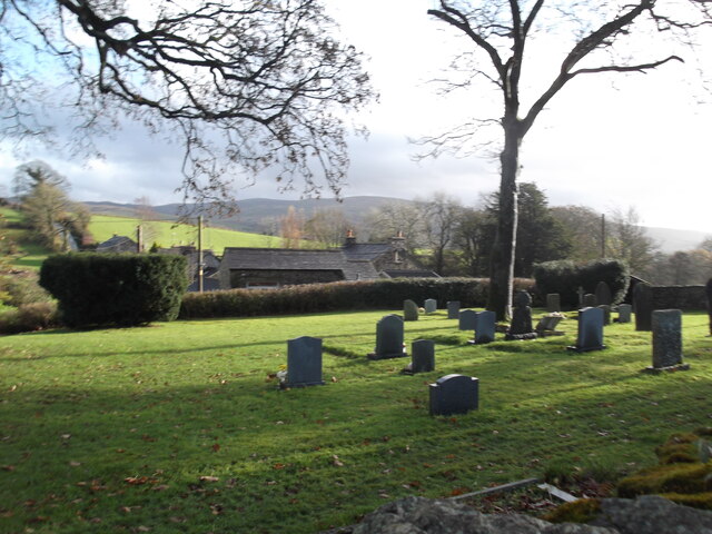
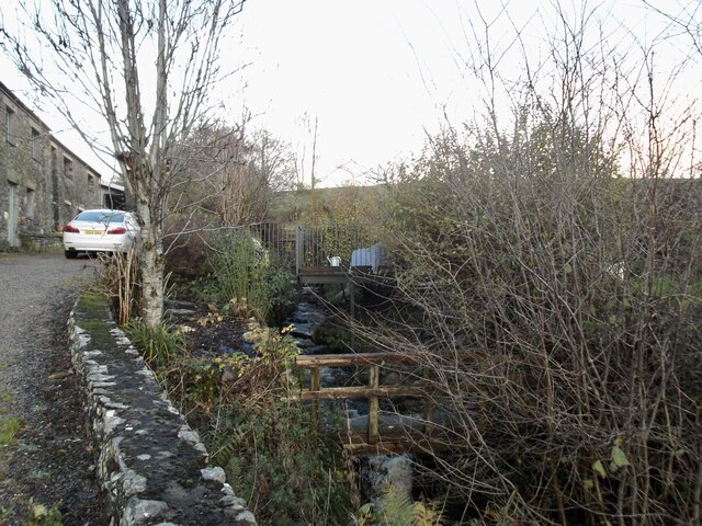
Blea Wheel Images
Images are sourced within 2km of 54.300958/-2.5775395 or Grid Reference SD6289. Thanks to Geograph Open Source API. All images are credited.


Blea Wheel is located at Grid Ref: SD6289 (Lat: 54.300958, Lng: -2.5775395)
Division: West Riding
Administrative County: Cumbria
District: South Lakeland
Police Authority: Cumbria
What 3 Words
///infinite.kind.procured. Near Sedbergh, Cumbria
Nearby Locations
Related Wikis

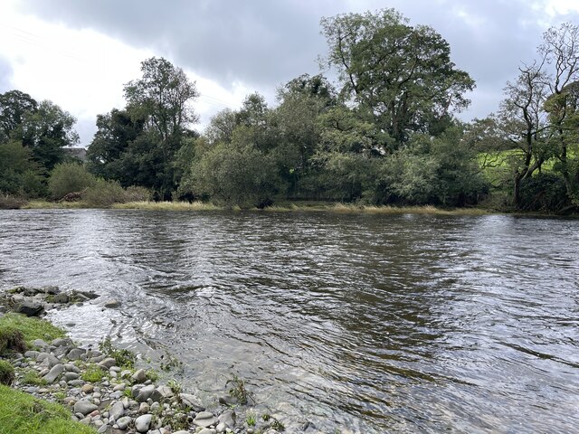
River Rawthey
The River Rawthey is a river in Cumbria in northwest England. The headwaters of the Rawthey are at Rawthey Gill Foot, where Rawthey Gill meets Haskhaw...

Killington, Cumbria
Killington is a village and civil parish in the South Lakeland district of the county of Cumbria, England. It had a population of 152 in 2001, At the...

Middleton-on-Lune railway station
Middleton-on-Lune railway station was located in Westmorland, England, (now in Cumbria), serving the hamlet and rural locale of Middleton on the Ingleton...
Beckside
Beckside is a village in Cumbria, England.

Brigflatts Meeting House
Brigflatts Meeting House or Briggflatts Meeting House is a Friends Meeting House of the Religious Society of Friends (Quakers), near Sedbergh, Cumbria...

Ingmire Hall
Ingmire Hall is a grade II listed 16th century country house built around the remains of a pele tower some 2 miles west of Sedbergh, Cumbria, England.The...

River Dee, Cumbria
The River Dee is a river running through the extreme south east of Cumbria, a part of the Craven region traditionally part of the West Riding of Yorkshire...

St Gregory's Church, Vale of Lune
St Gregory's Church, Vale of Lune, also known as the Vale of Lune Chapel, is a redundant Anglican church situated on the A684 road about 1.5 miles (2 km...
Nearby Amenities
Located within 500m of 54.300958,-2.5775395Have you been to Blea Wheel?
Leave your review of Blea Wheel below (or comments, questions and feedback).