Bosigran Cliff
Cliff, Slope in Cornwall
England
Bosigran Cliff

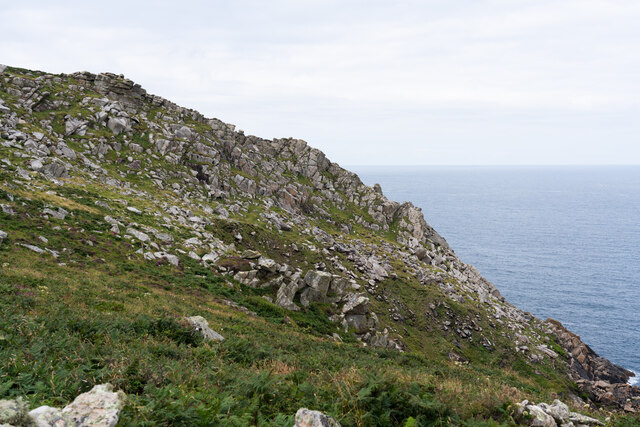
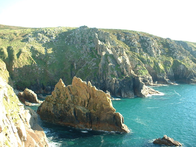
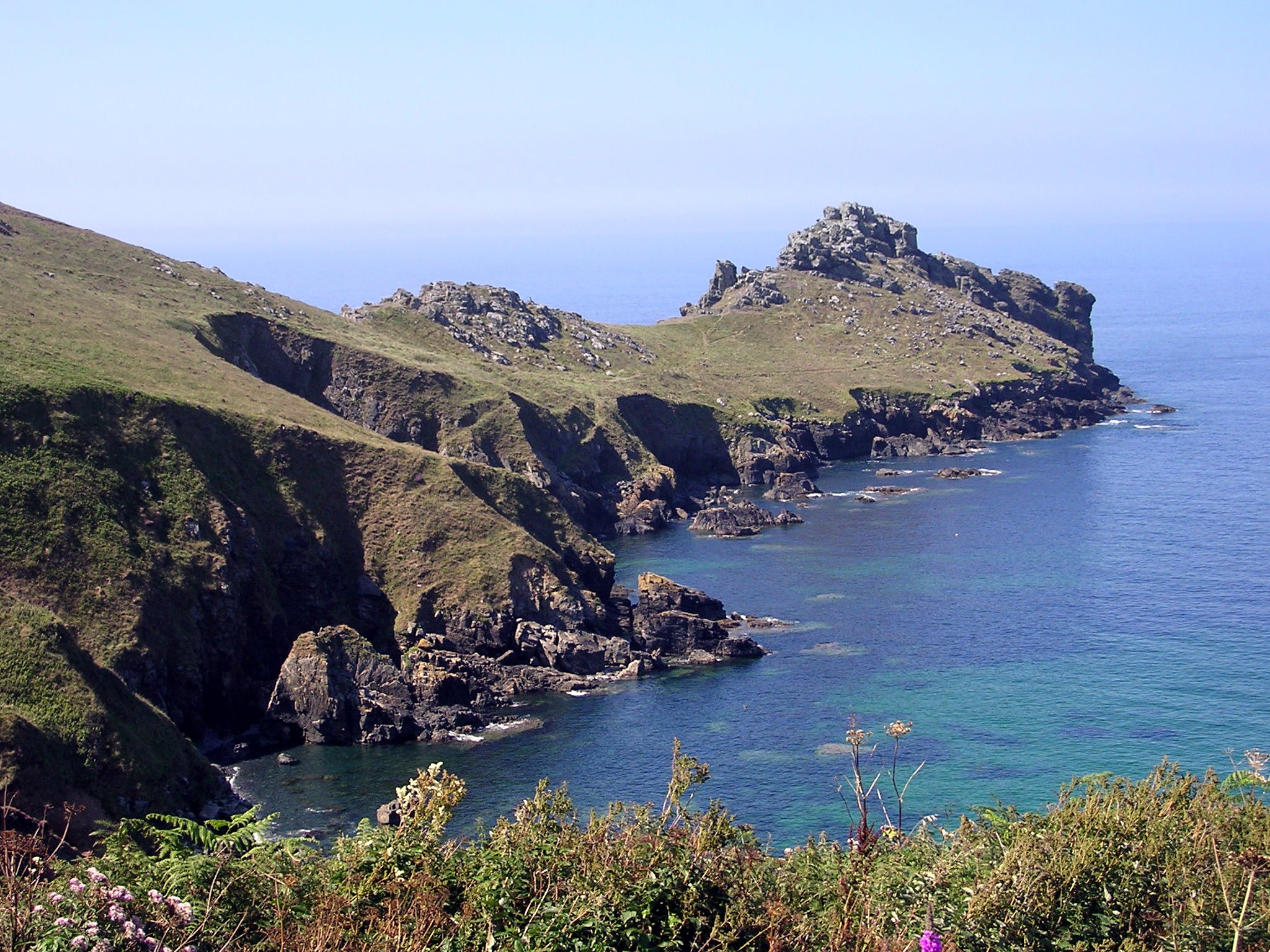
Bosigran Cliff is a prominent and picturesque granite cliff located in Cornwall, England. Situated near the village of Zennor, it is part of the larger Penwith Heritage Coast and is renowned for its natural beauty and challenging rock climbing routes.
The cliff stands tall at approximately 70 meters high and stretches for about a kilometer along the coastline. Its rugged and dramatic appearance, with its jagged edges and sheer faces, makes it a popular destination for outdoor enthusiasts and nature lovers alike.
The geological formation of Bosigran Cliff is primarily composed of granite, which has been shaped by the forces of erosion over millions of years. The constant pounding of the Atlantic Ocean has sculpted the cliff, creating caves, arches, and distinctive rock formations that add to its allure.
Rock climbing is a major draw for visitors to Bosigran Cliff, as it offers a variety of challenging routes suitable for climbers of different skill levels. The cliff provides a mix of crack climbs, face climbs, and slabs, with many routes requiring technical expertise and a good level of fitness. Climbers are rewarded with stunning views of the coastline and the surrounding countryside as they ascend the cliff.
Aside from its geological and recreational significance, Bosigran Cliff is also home to a diverse range of flora and fauna. The cliff provides nesting sites for various seabirds, including gulls and razorbills, and the surrounding heathland supports a variety of plant species.
Overall, Bosigran Cliff is a captivating natural feature in Cornwall, attracting climbers, hikers, and nature enthusiasts with its beauty, challenging climbs, and rich biodiversity.
If you have any feedback on the listing, please let us know in the comments section below.
Bosigran Cliff Images
Images are sourced within 2km of 50.175386/-5.6202607 or Grid Reference SW4136. Thanks to Geograph Open Source API. All images are credited.


Bosigran Cliff is located at Grid Ref: SW4136 (Lat: 50.175386, Lng: -5.6202607)
Unitary Authority: Cornwall
Police Authority: Devon and Cornwall
What 3 Words
///paths.cookie.dignitary. Near St Just, Cornwall
Nearby Locations
Related Wikis
A. W. Andrews
Arthur Westlake Andrews (12 December 1868 – 22 November 1959) was a British geographer, poet, rock-climber, mountaineer and amateur tennis and badminton...
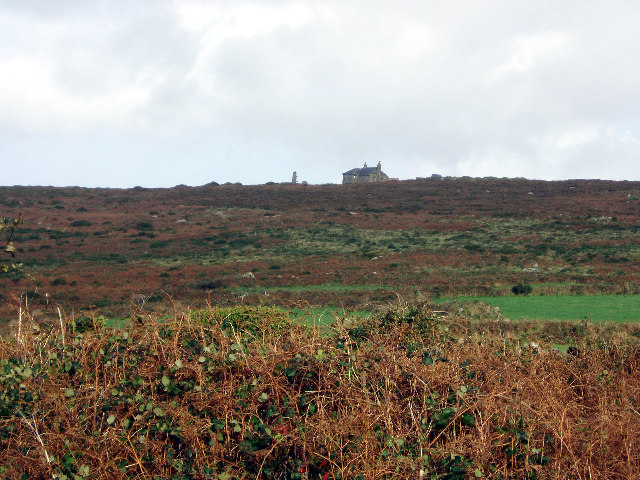
Aire Point to Carrick Du SSSI
Aire Point to Carrick Du SSSI is a Site of Special Scientific Interest on the Penwith Peninsula, Cornwall, England. It is 5.98 square kilometres in extent...

Rosemergy
Rosemergy is a hamlet near Morvah in Cornwall, England, United Kingdom on the B3306 road between St Ives and St Just. == References ==
Watch Croft
Watch Croft (Cornish: Carnonbigh) is a prominent hill, 252 metres (827 ft) high overlooking the north coast of the Cornwall, UK. Its prominence of 225...

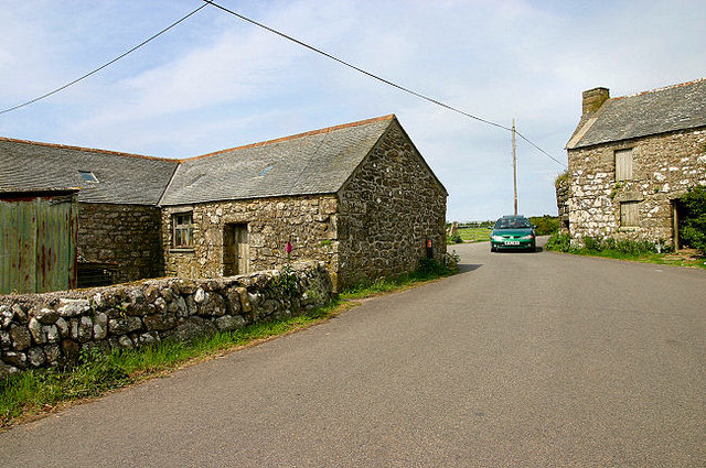
Trevowhan
Trevowhan is a hamlet in the parish of Morvah, Cornwall, England, UK, and lies 0.5 miles east of the village of Morvah.A terrace of a house and two cottages...
Porthmeor
Porthmeor (from Cornish: Porth Meur, meaning "large cove") is a hamlet that consists of two farms, Higher and Lower Porthmeor, in the parish of Zennor...
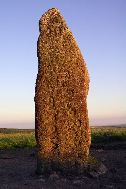
Mên Scryfa
Mên Scryfa (or Mên Scrifa, literally "stone with writing") is an inscribed standing stone in Cornwall, England, United Kingdom (grid reference SW427353...
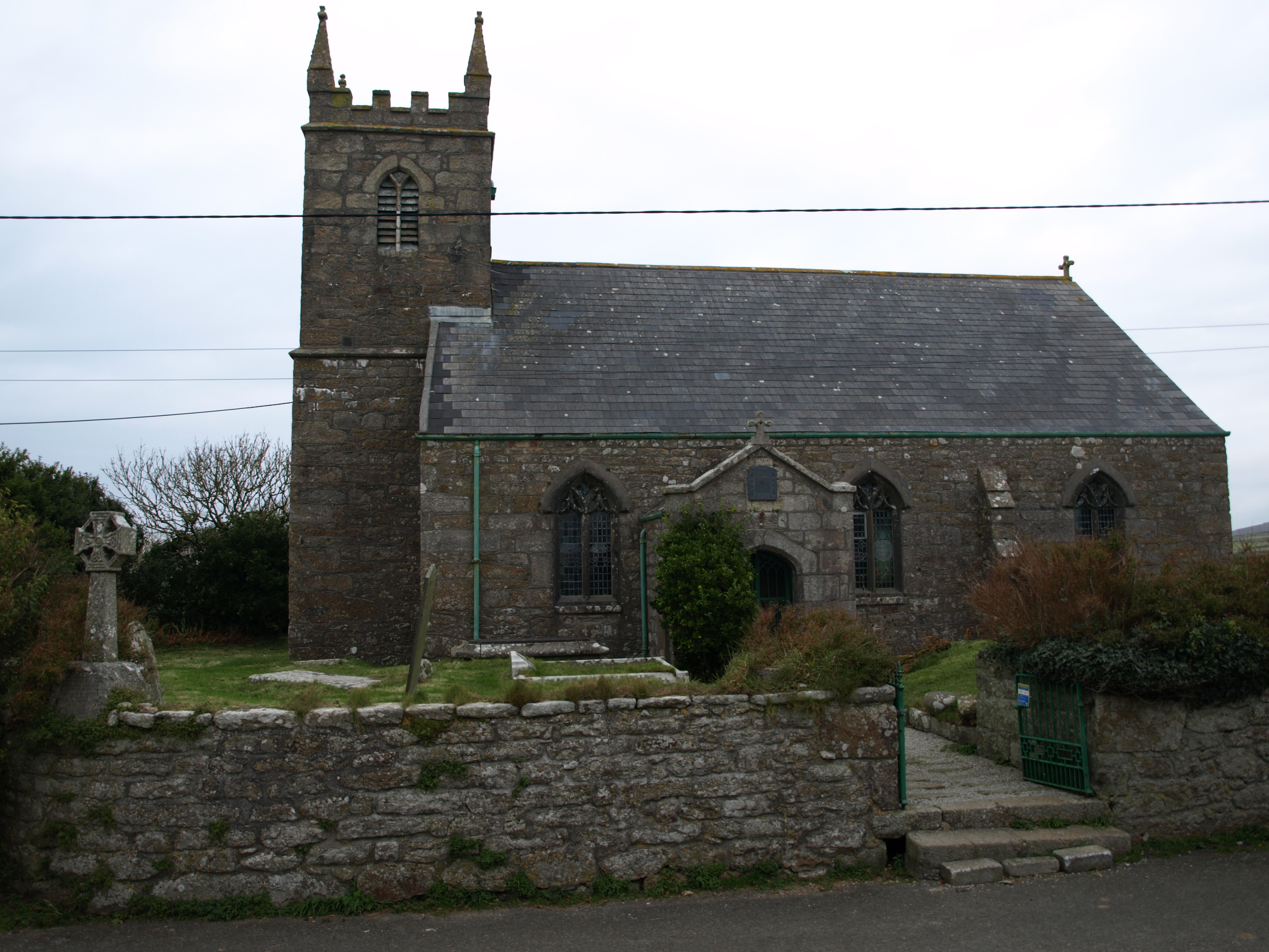
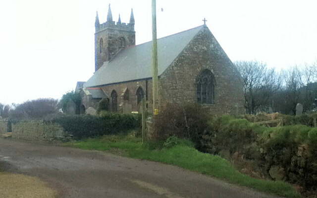
St Bridget's Church, Morvah
St Bridget's Church, Morvah is a parish church in the Church of England Diocese of Truro located in Morvah, Cornwall, UK. It was licensed for divine service...
Nearby Amenities
Located within 500m of 50.175386,-5.6202607Have you been to Bosigran Cliff?
Leave your review of Bosigran Cliff below (or comments, questions and feedback).