High Craigles
Lake, Pool, Pond, Freshwater Marsh in Yorkshire South Lakeland
England
High Craigles
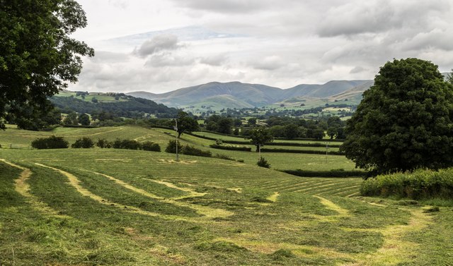
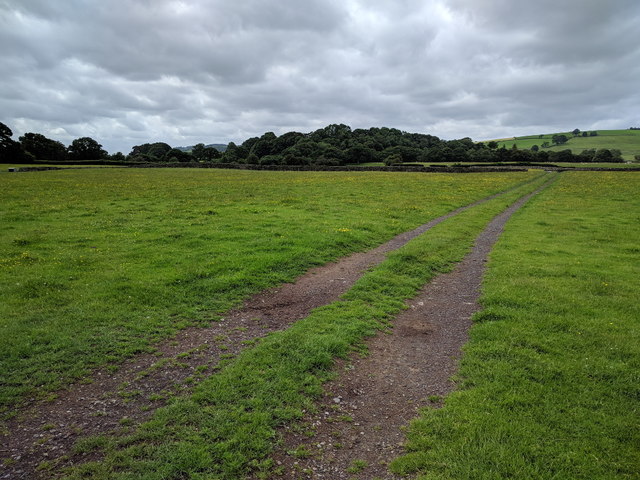
High Craigles is a picturesque freshwater marsh located in the region of Yorkshire, England. Nestled amidst rolling hills and lush greenery, this natural marvel offers a serene and captivating experience for visitors.
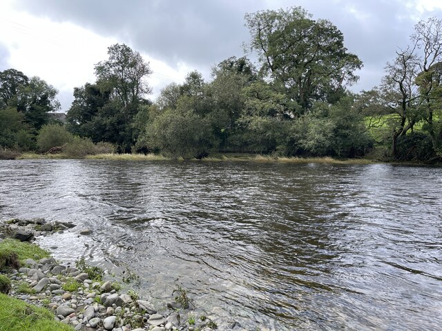
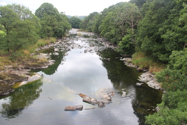
The centerpiece of High Craigles is its stunning lake, which stretches across a vast area and serves as a vital habitat for diverse flora and fauna. The lake is fed by crystal-clear waters from nearby streams and springs, ensuring its pristine condition throughout the year. Its tranquil surface reflects the surrounding landscape, creating a mesmerizing sight that attracts nature enthusiasts and photographers alike.
Surrounding the lake, there are various pools and ponds that add to the charm of High Craigles. These smaller bodies of water are home to a range of aquatic plants and animals, providing a rich ecosystem for both resident and migratory species. Visitors can observe aquatic birds, such as ducks and swans, gracefully gliding across the water, while dragonflies and damselflies dart through the air.
The freshwater marsh surrounding the lake and ponds is a crucial habitat for numerous species. Marsh grasses, reeds, and sedges dominate the landscape, providing nesting sites and shelter for birds, amphibians, and insects. This vibrant marshland also serves as a filter, purifying the water and maintaining the ecological balance of the entire area.
High Craigles is a haven for wildlife enthusiasts, who can explore the area through well-maintained walking trails. The site offers a peaceful escape from the hustle and bustle of everyday life, allowing visitors to connect with nature and appreciate the beauty of Yorkshire's natural landscapes.
If you have any feedback on the listing, please let us know in the comments section below.
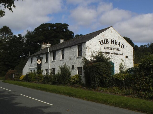
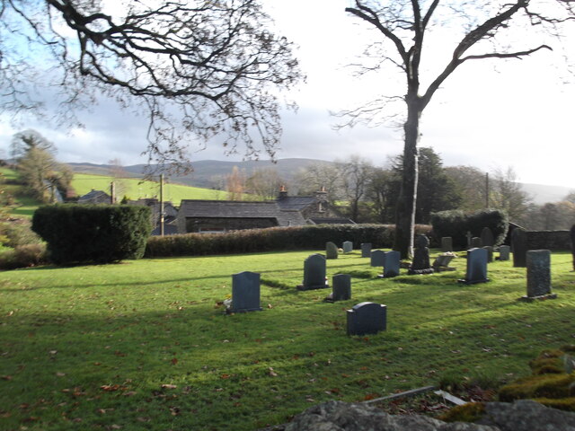
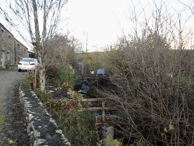
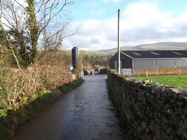
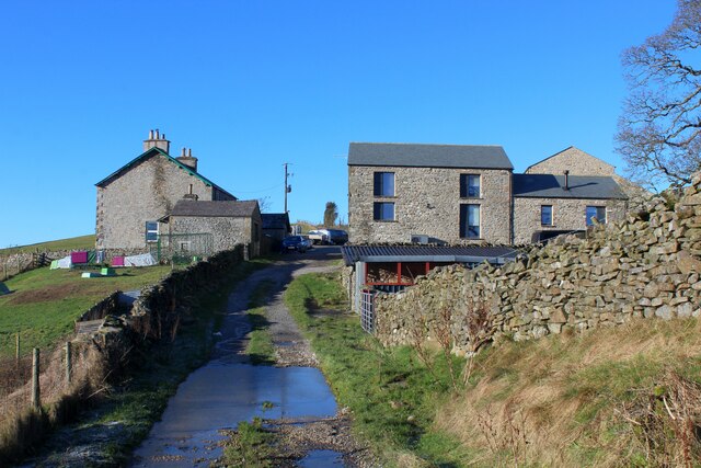
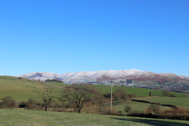
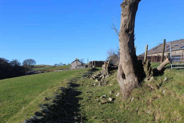
High Craigles Images
Images are sourced within 2km of 54.304657/-2.5839229 or Grid Reference SD6290. Thanks to Geograph Open Source API. All images are credited.


High Craigles is located at Grid Ref: SD6290 (Lat: 54.304657, Lng: -2.5839229)
Division: West Riding
Administrative County: Cumbria
District: South Lakeland
Police Authority: Cumbria
What 3 Words
///rigid.boxer.scripted. Near Sedbergh, Cumbria
Nearby Locations
Related Wikis

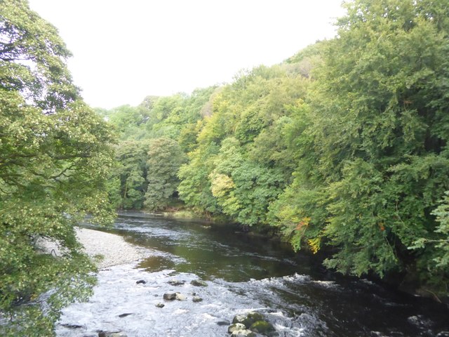
River Rawthey
The River Rawthey is a river in Cumbria in northwest England. The headwaters of the Rawthey are at Rawthey Gill Foot, where Rawthey Gill meets Haskhaw...

Killington, Cumbria
Killington is a village and civil parish in the South Lakeland district of the county of Cumbria, England. It had a population of 152 in 2001, At the...

Middleton-on-Lune railway station
Middleton-on-Lune railway station was located in Westmorland, England, (now in Cumbria), serving the hamlet and rural locale of Middleton on the Ingleton...
Beckside
Beckside is a village in Cumbria, England.

Brigflatts Meeting House
Brigflatts Meeting House or Briggflatts Meeting House is a Friends Meeting House of the Religious Society of Friends (Quakers), near Sedbergh, Cumbria...

Ingmire Hall
Ingmire Hall is a grade II listed 16th century country house built around the remains of a pele tower some 2 miles west of Sedbergh, Cumbria, England.The...

St Gregory's Church, Vale of Lune
St Gregory's Church, Vale of Lune, also known as the Vale of Lune Chapel, is a redundant Anglican church situated on the A684 road about 1.5 miles (2 km...

River Dee, Cumbria
The River Dee is a river running through the extreme south east of Cumbria, a part of the Craven region traditionally part of the West Riding of Yorkshire...
Nearby Amenities
Located within 500m of 54.304657,-2.5839229Have you been to High Craigles?
Leave your review of High Craigles below (or comments, questions and feedback).